Date: Aug 25-28
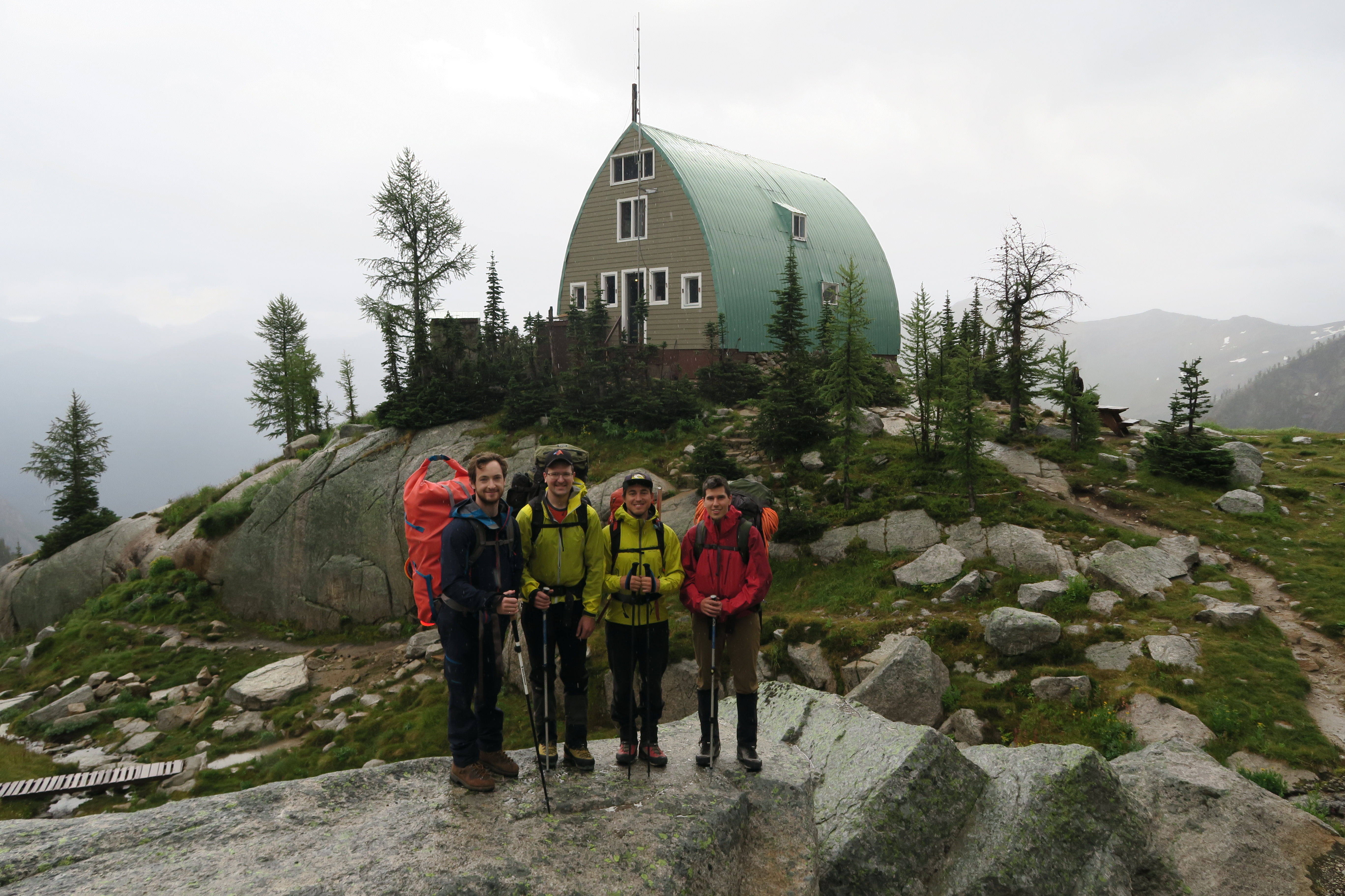
Participants: Max Bitel, Craig Follett, Greg Lindstrom, Geoff Zenger
Difficulty: 4 to 5.6
Report: When my daughter was born early this year I thought that my alpine climbing career would be put on a very extended hiatus, but while my total number of days in the backcountry has been significantly decreased compared to the last few trips, I’ve still found the opportunity for some stellar trips. This time the opportunity came in the form of Greg’s bachelor party, for which after a good number of ideas were bounced back and forth we settled on a 4 day trip to the Conrad Kain hut in the Bugaboos with the goal to bag a couple of the spires. The weather in the interior had been cold and wet all summer, and our backup plan was to go biking in the Chilcotins, but as the dates for the trip neared it became apparent that there was likely to be a narrow weather of good weather for us to get in, climb, and get out before the next system hit.
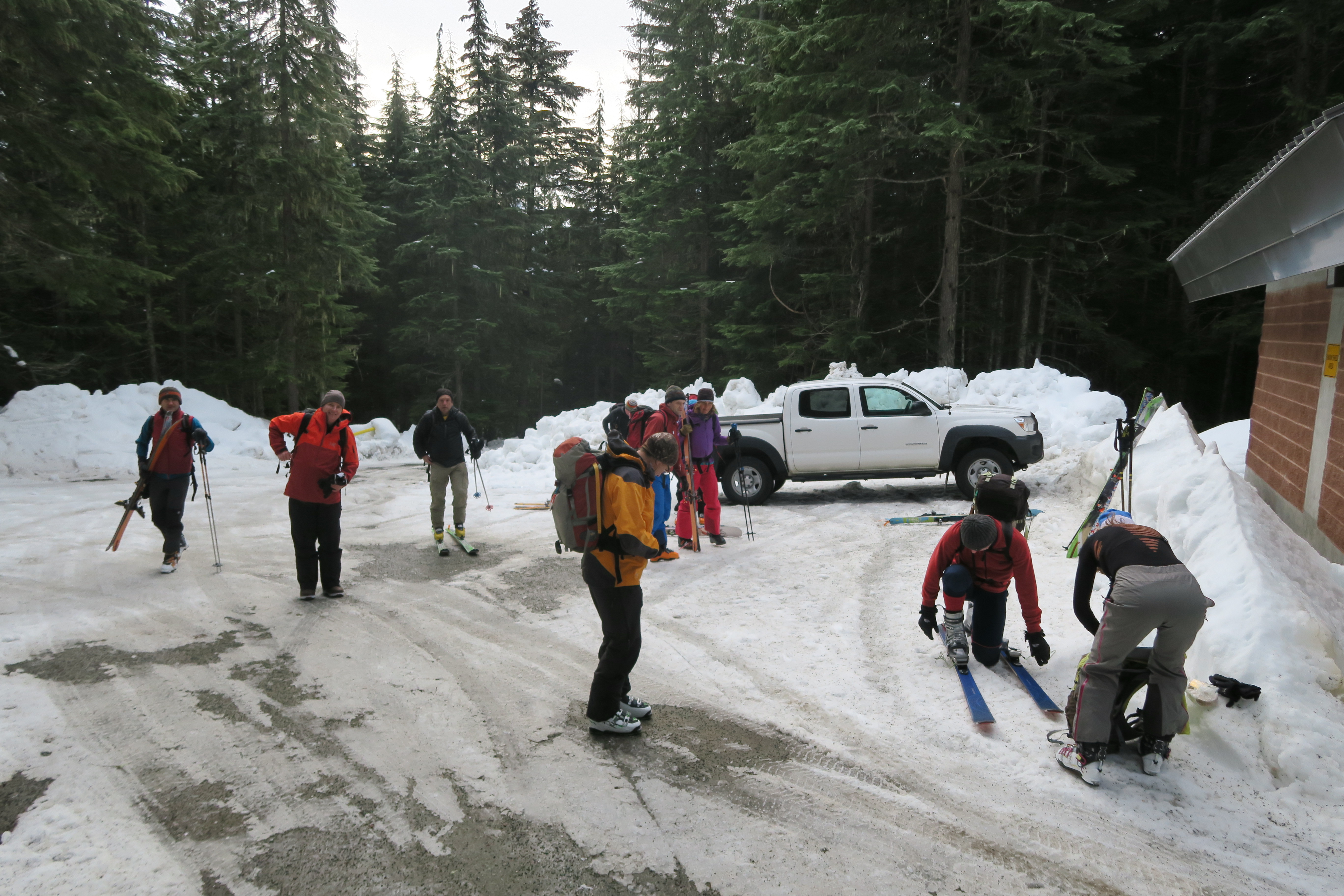
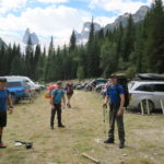
Max and I started our drive up Wednesday night and camped on a logging road just outside of Malakwa, and the next morning had a leisurely stop in Revelstoke to eat breakfast and buy groceries. We had planned to meet Greg and Craig at the Bugaboos parking lot at 1:30, and on the map I had at home, the Bugaboos looked like they were close to Golden so I thought we had plenty of time. In retrospect this was a mistake as to get to the Bugaboos you have to drive 45km up a logging road that starts in Brisco, which is itself quite far from Golden. In the end we were quite late, pulling into the Bugaboos parking lot around 2:15 and having to scramble to get chicken wire up around our truck and do a final packing job for our bags.
Note on chicken wire: There is TONS of chicken wire just waiting to be used at the Bugaboos parking lot, no need to bring your own. If you were to arrive and there was not any chicken wire there for you to use, that would mean that there are hundreds of people ahead of you and you’re best off backtracking, climbing somewhere else and returning to the Bugaboos some other time.
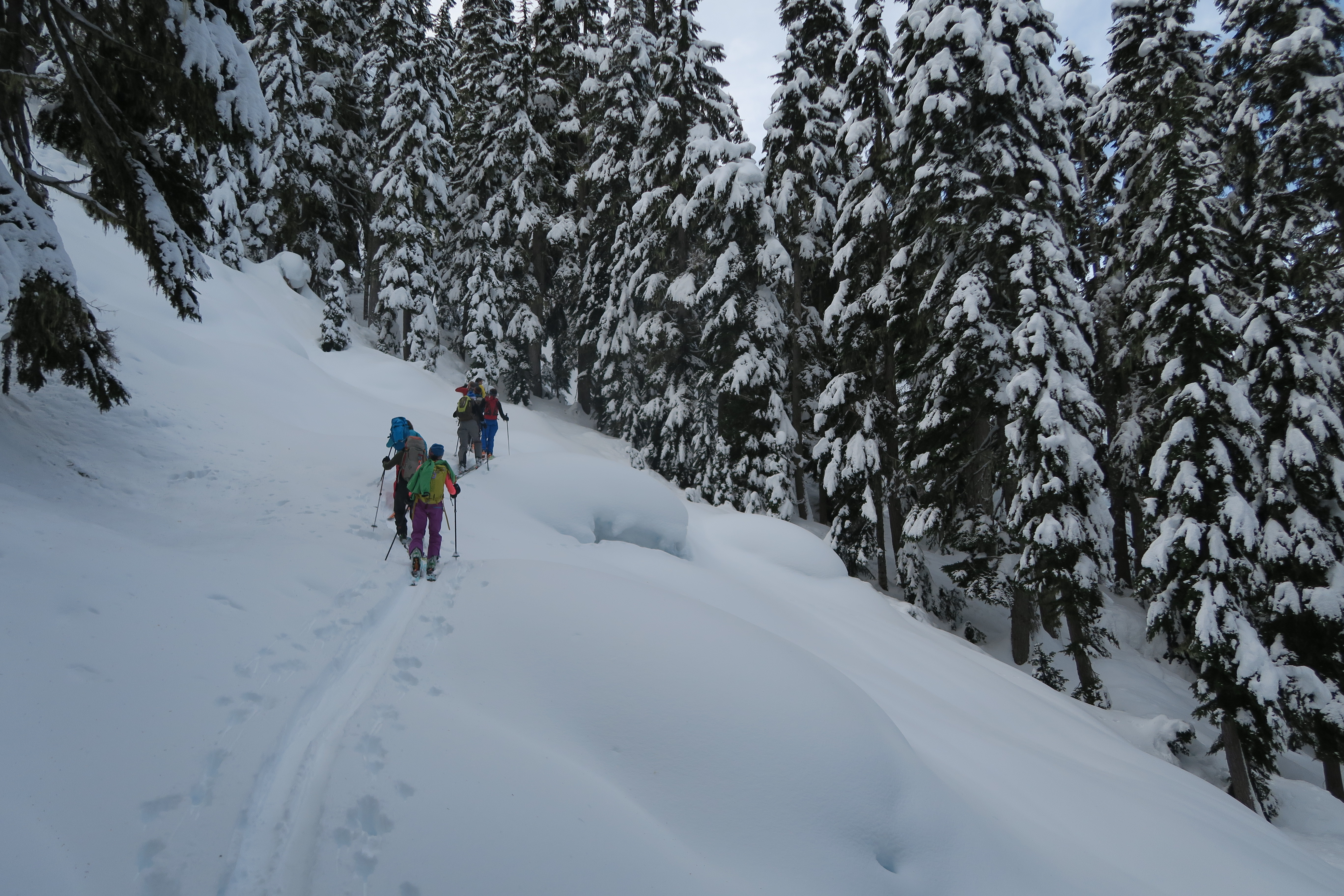
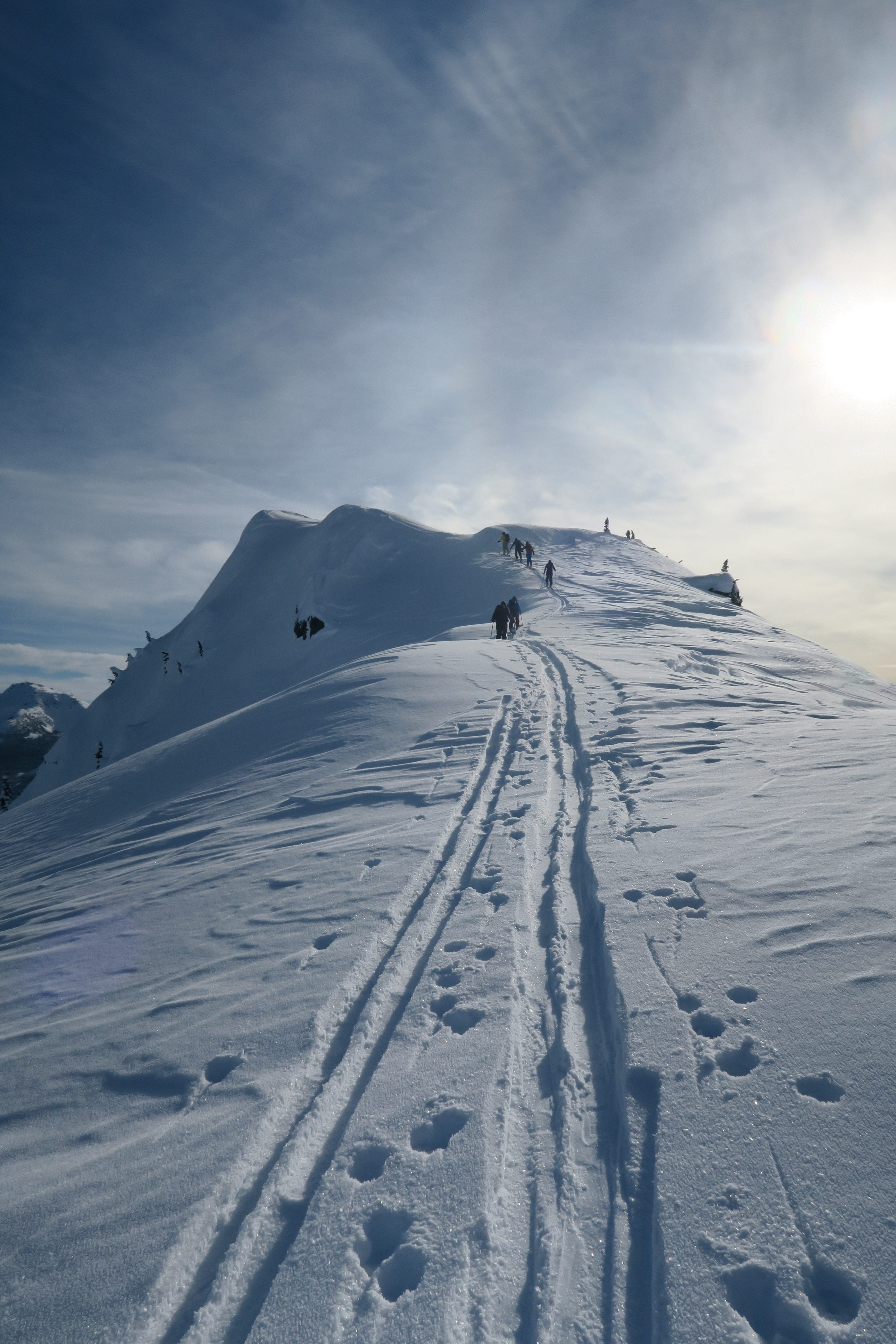
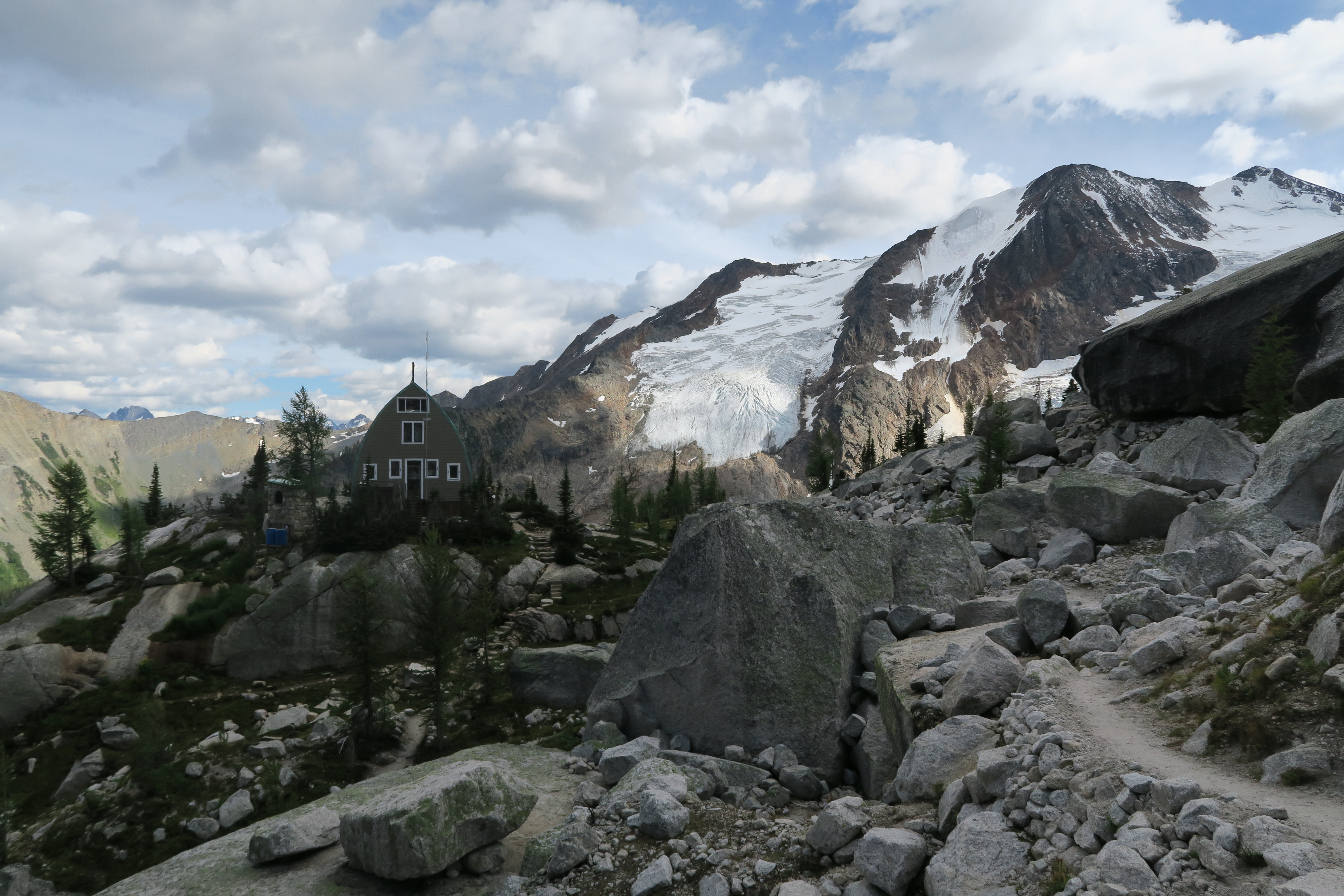
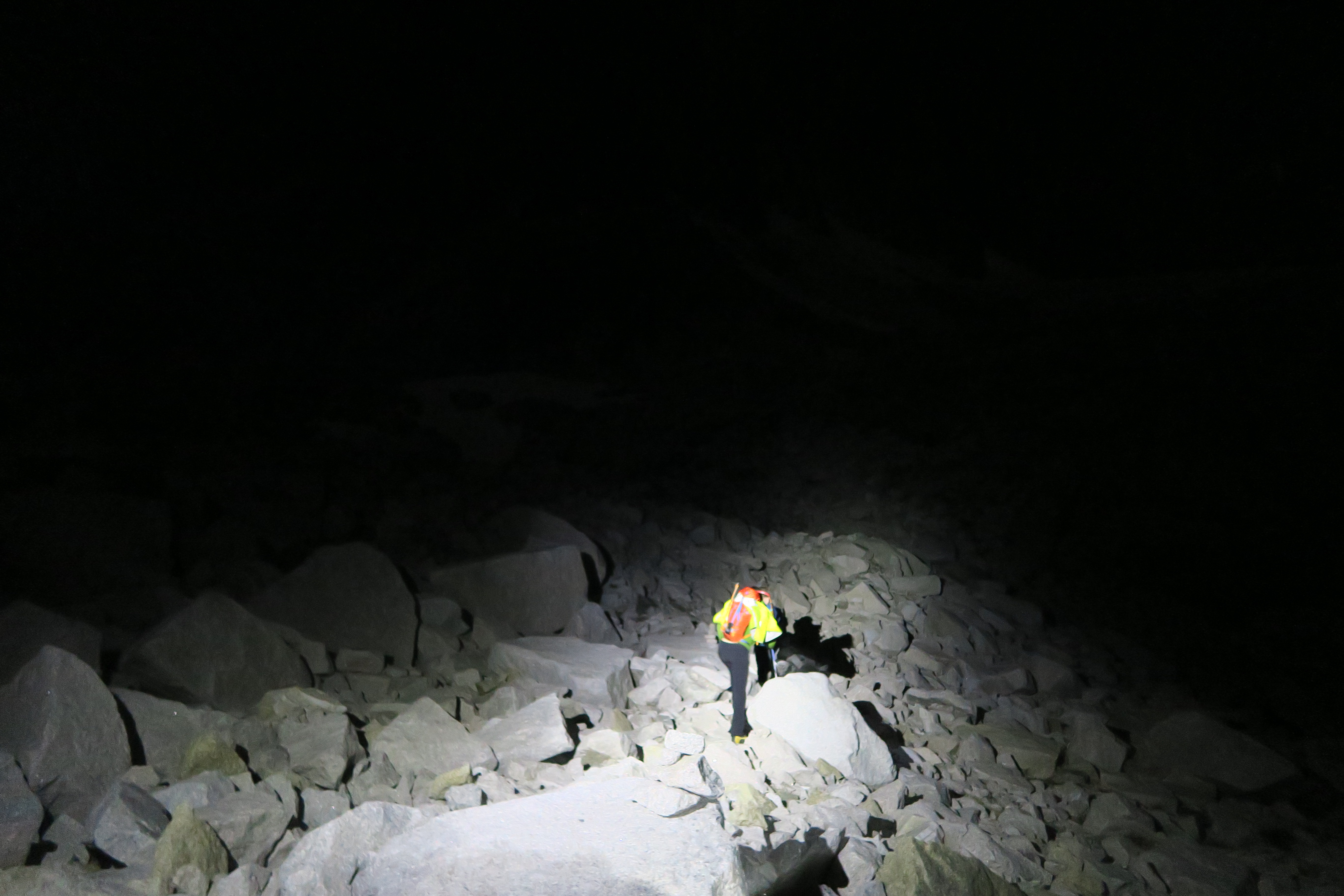
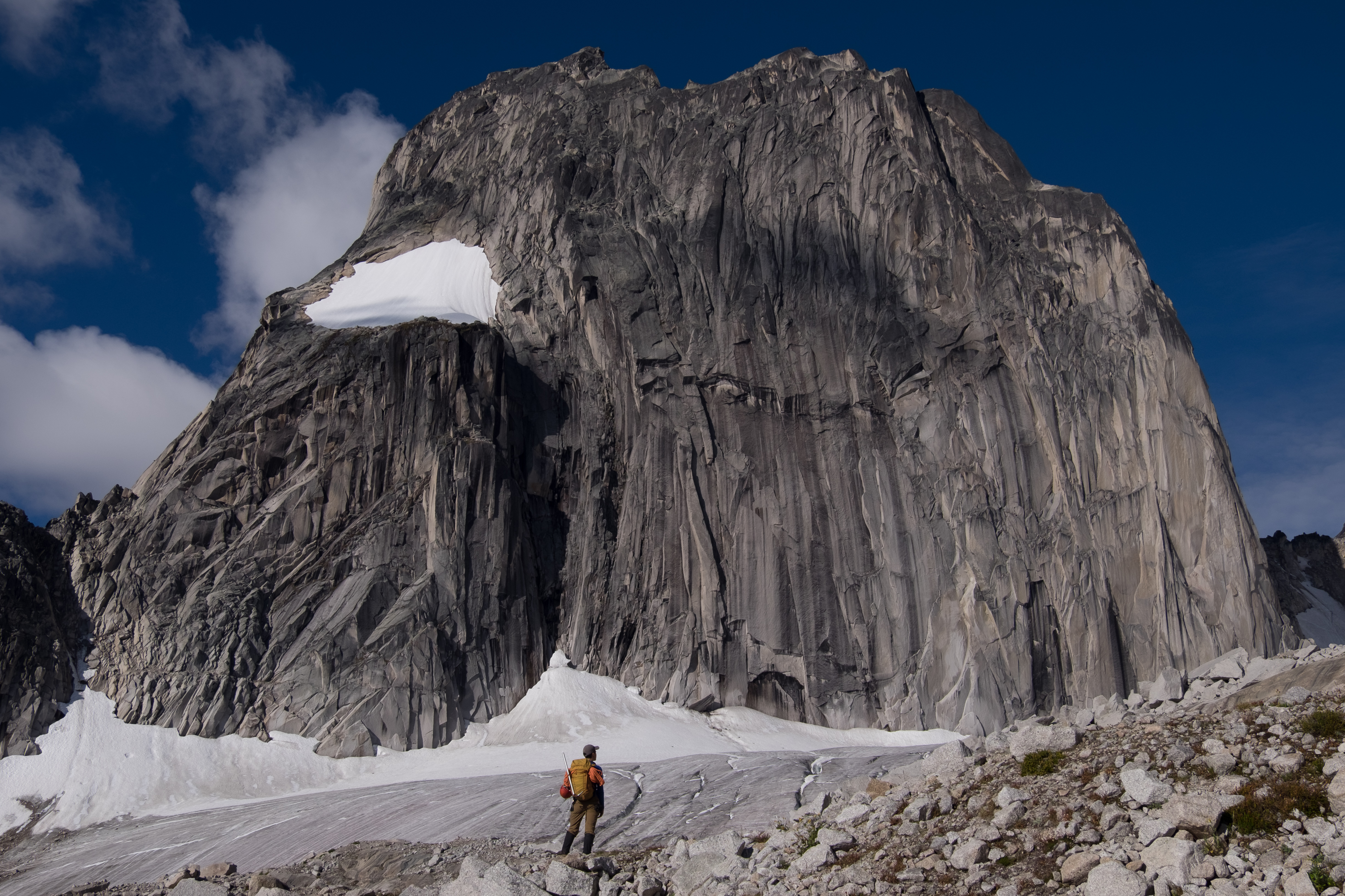
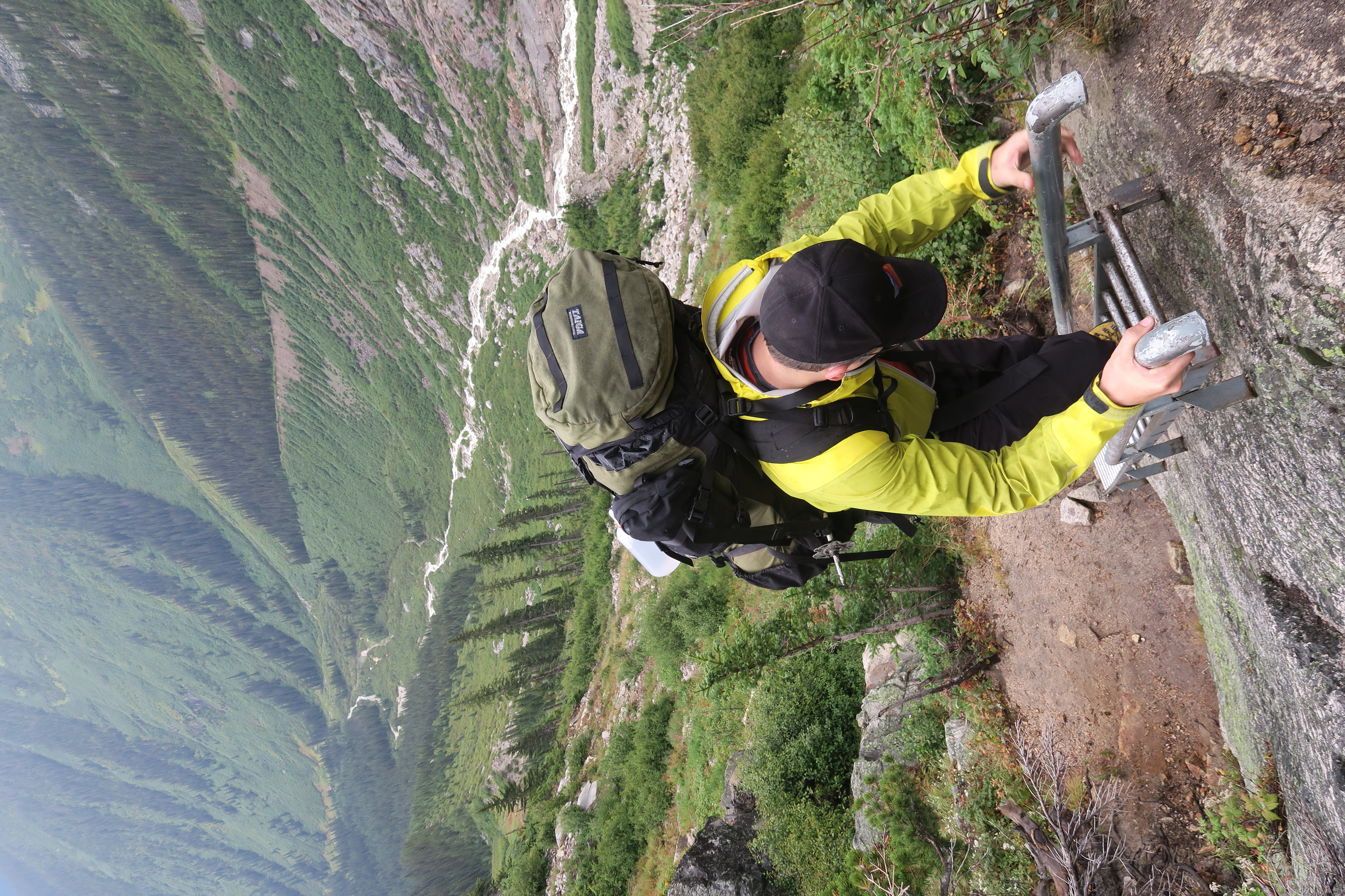
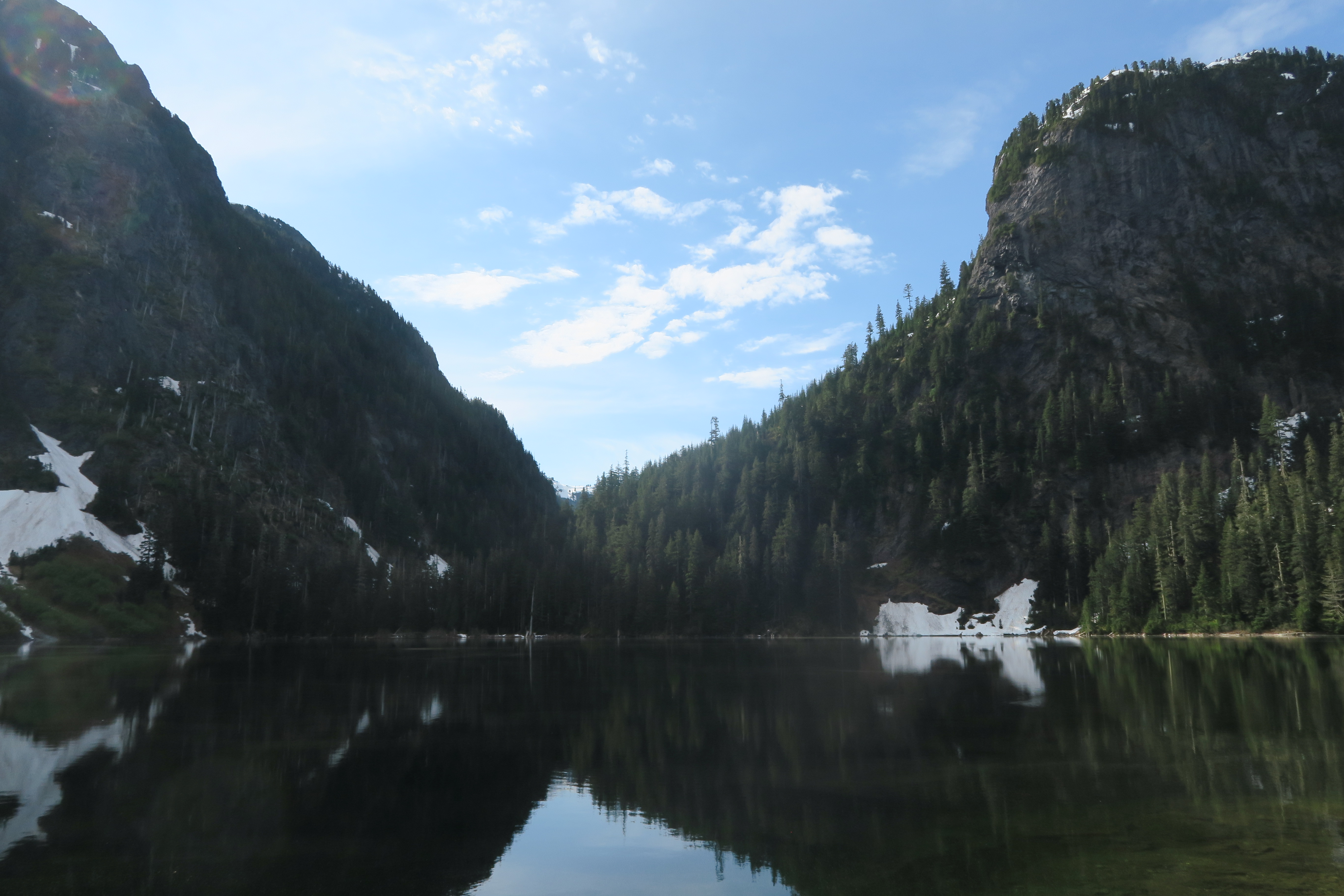
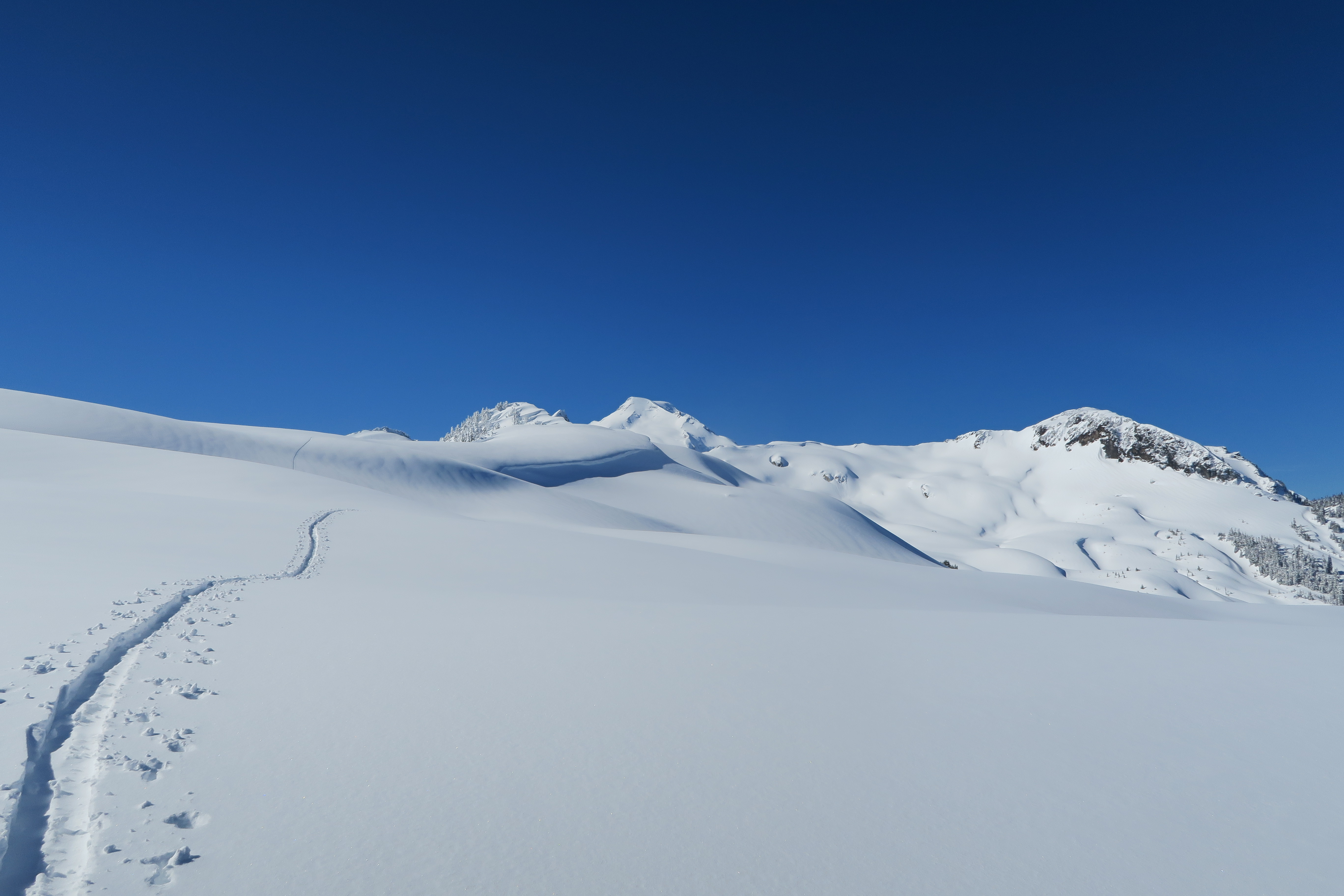
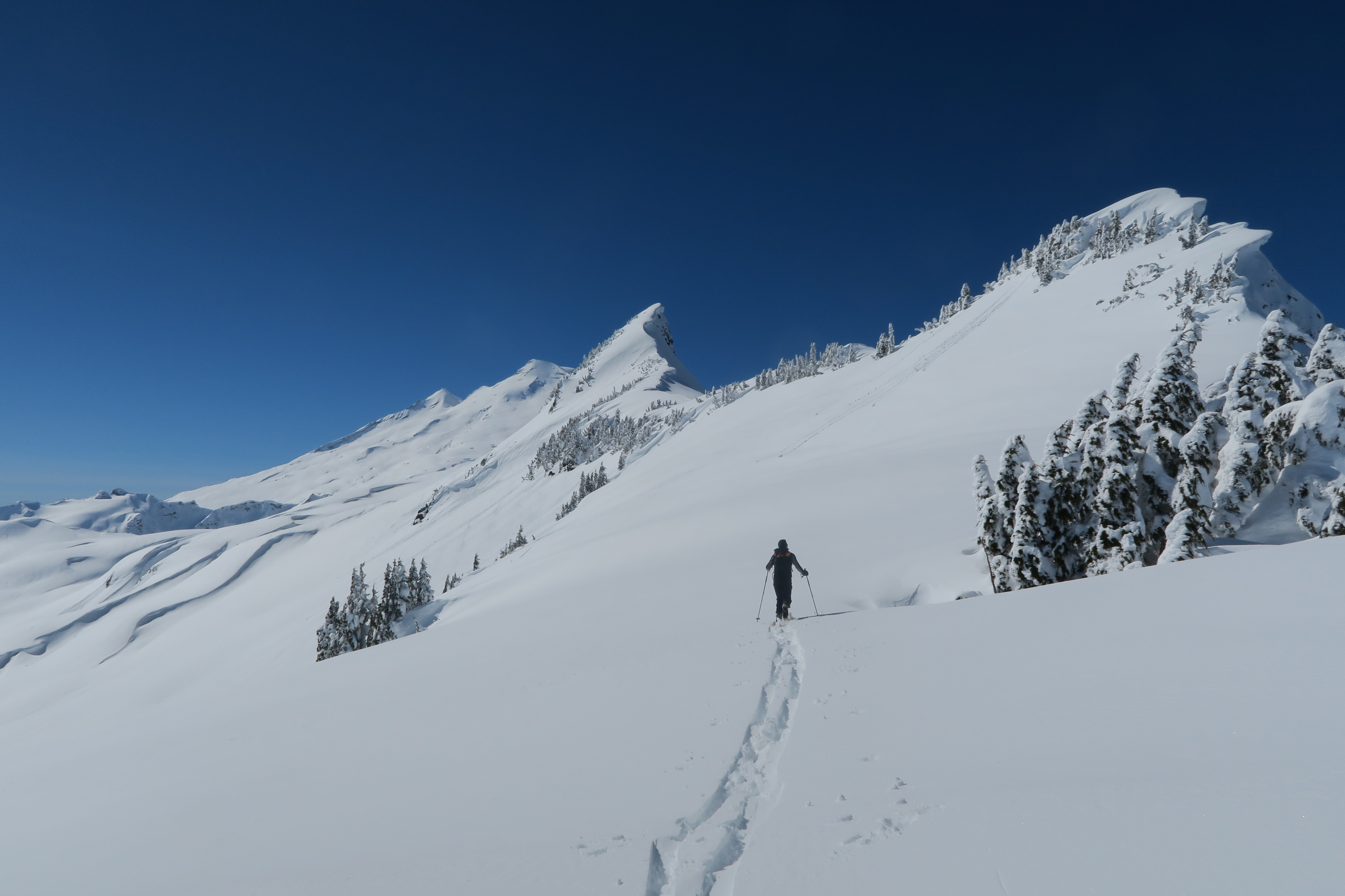
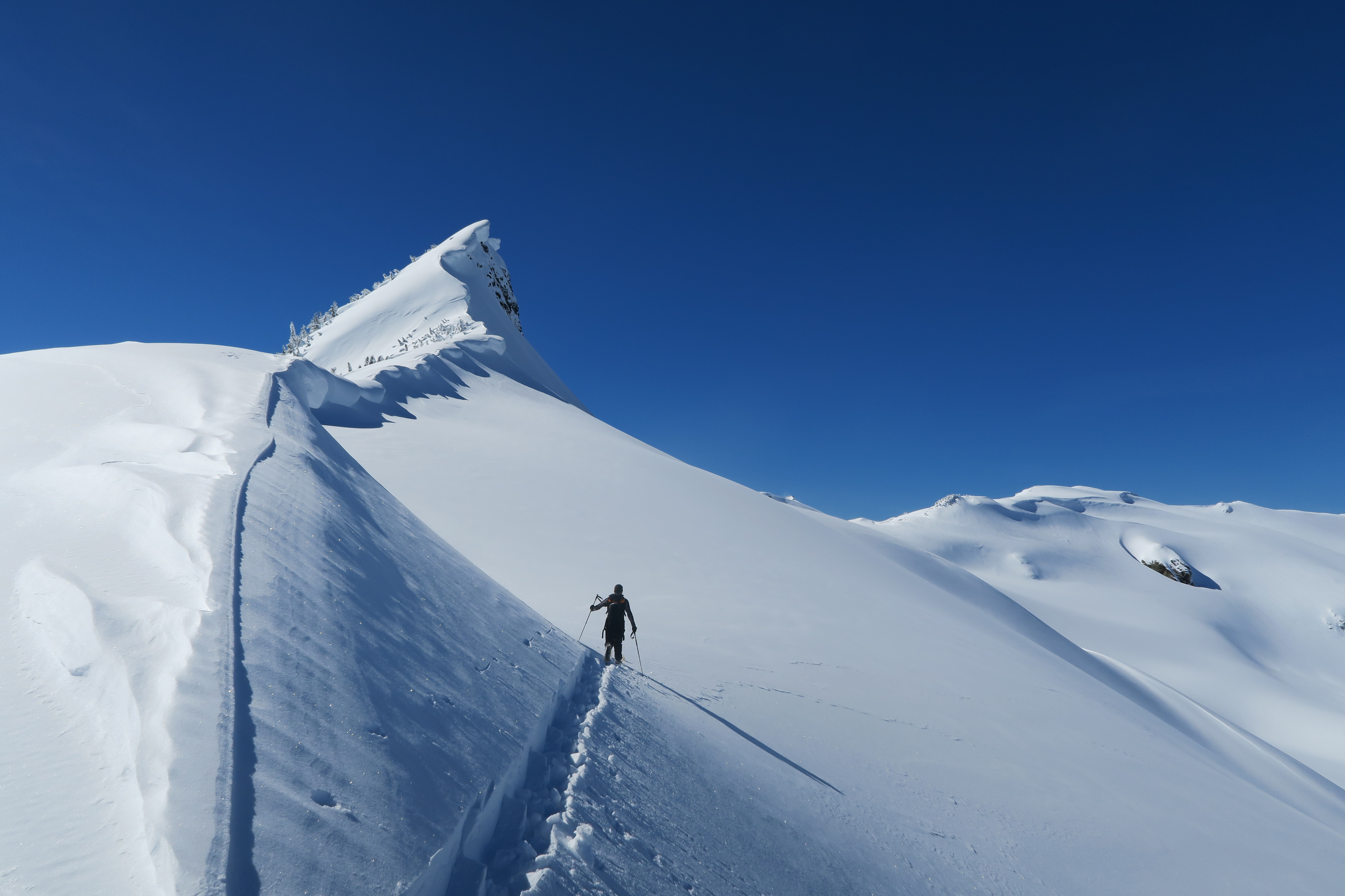
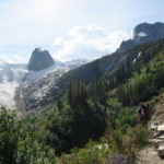
We finally got going from the parking lot just past 3pm, and mosied our way up to the Conrad Kain hut. You can see the hut from the parking lot but it actually takes a few hours to get up there. The trail is in great shape and has lots of safety features installed so that even a confident kid would be able to make it up to the hut (and indeed there were some kids in the hut). The ascent was uneventful except for an incident whereby at around 4:45 we had just reached the top of the ladder on the trail and a party with lighter packs passed us and asked if one of us had lost a boot. Apparently another hiker had found Greg’s boot lying on the trail, and not knowing what to do had elected to carry it down to the parking lot and leave it there! Lucky for Greg, Max volunteered to play the hero, dropped his bag, and headed down to catch up to the hiker carrying down Greg’s boot. Unluckily for Max, that hiker was fast and Max only caught up to him metres from the parking lot and so essentially, he had to make the ascent to the hut twice. The rest of us, however, were lounging about in the luxurious Kain hut by 5:45.
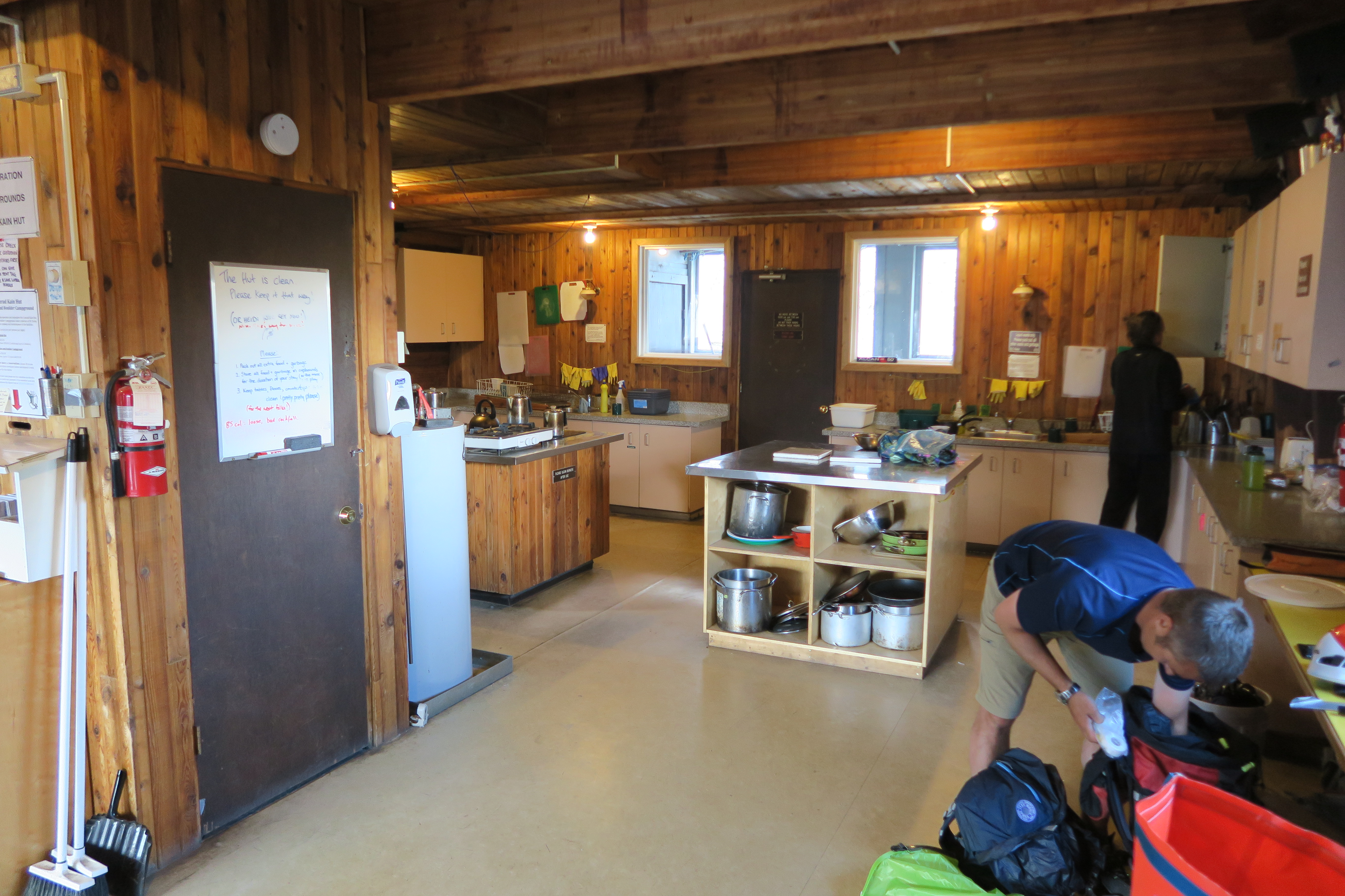
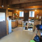
Note on luxury: The Kain hut has pots, pans, cutlery, cups, electric stove, electric heat, gas stove, running cold water, running hot water, and printed weather reports twice a day. You only need to bring your own food, nothing else.
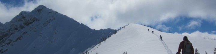
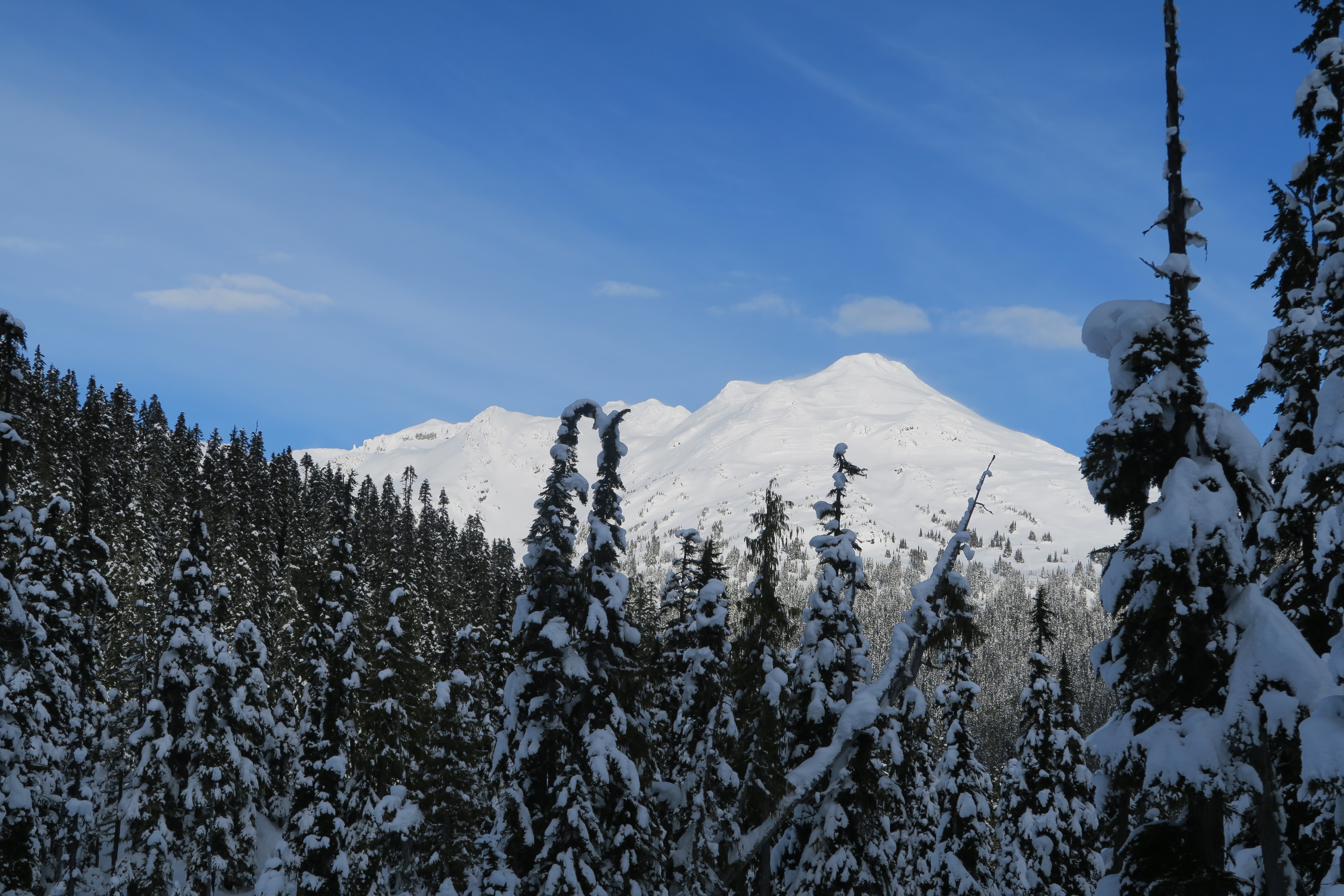
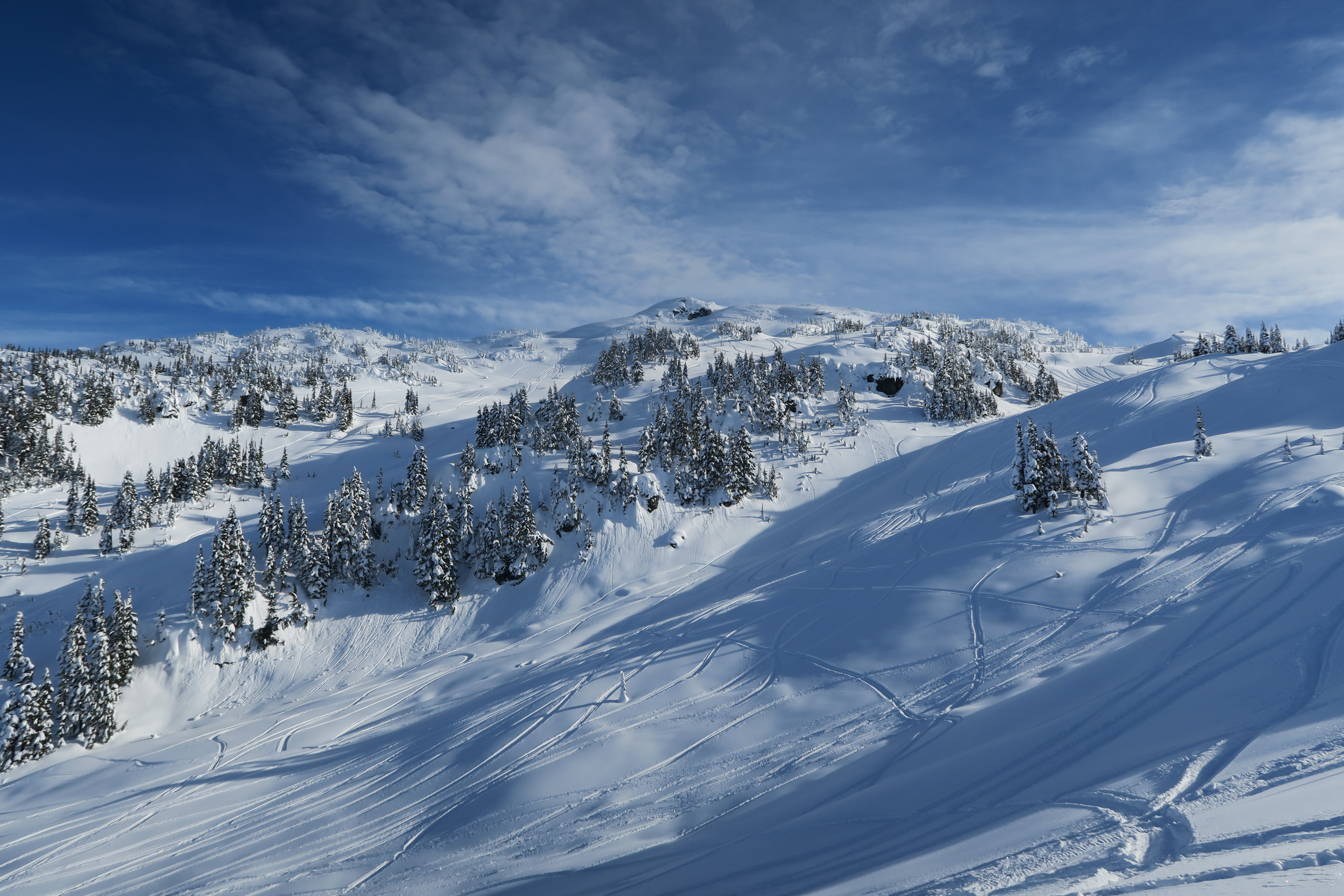
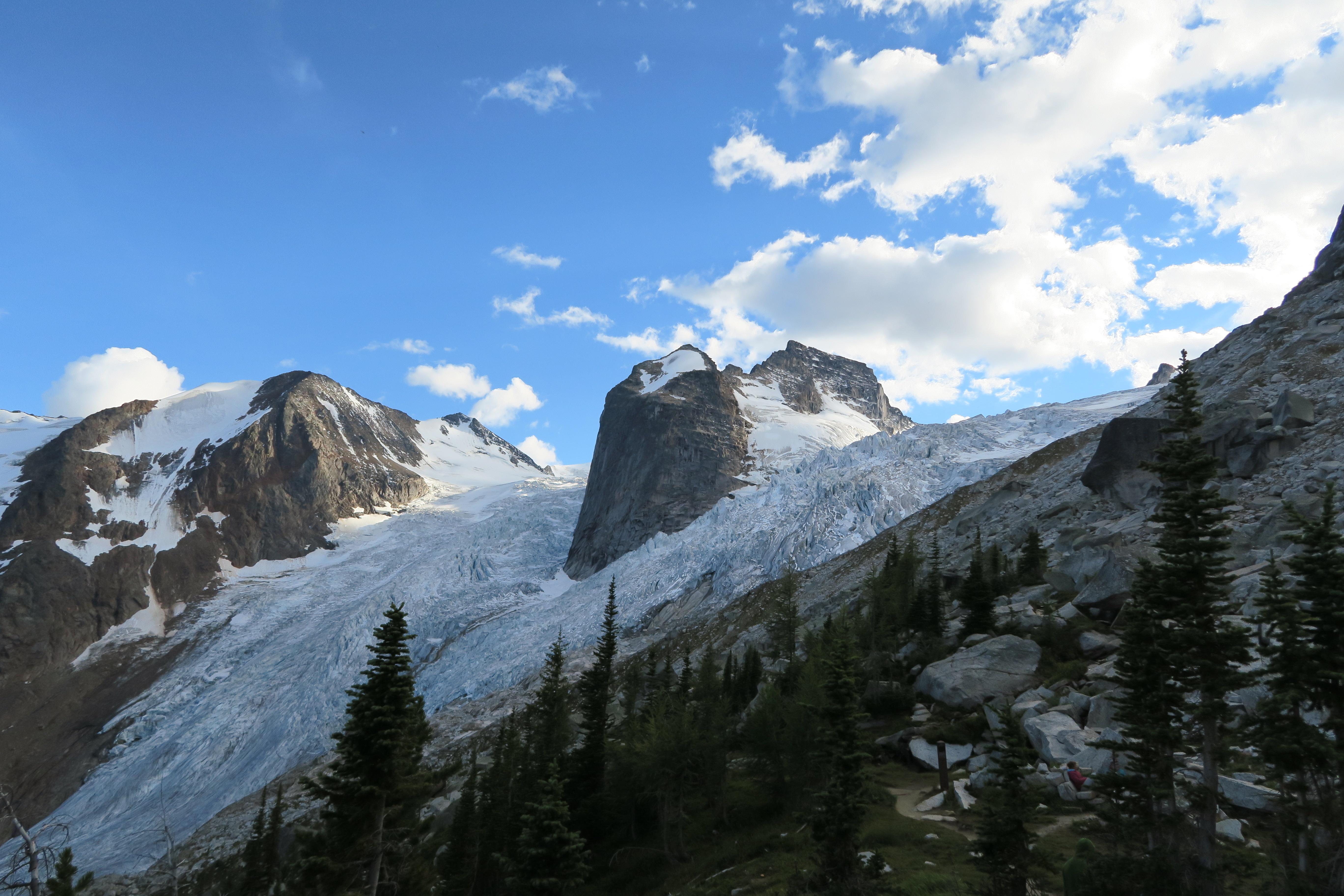
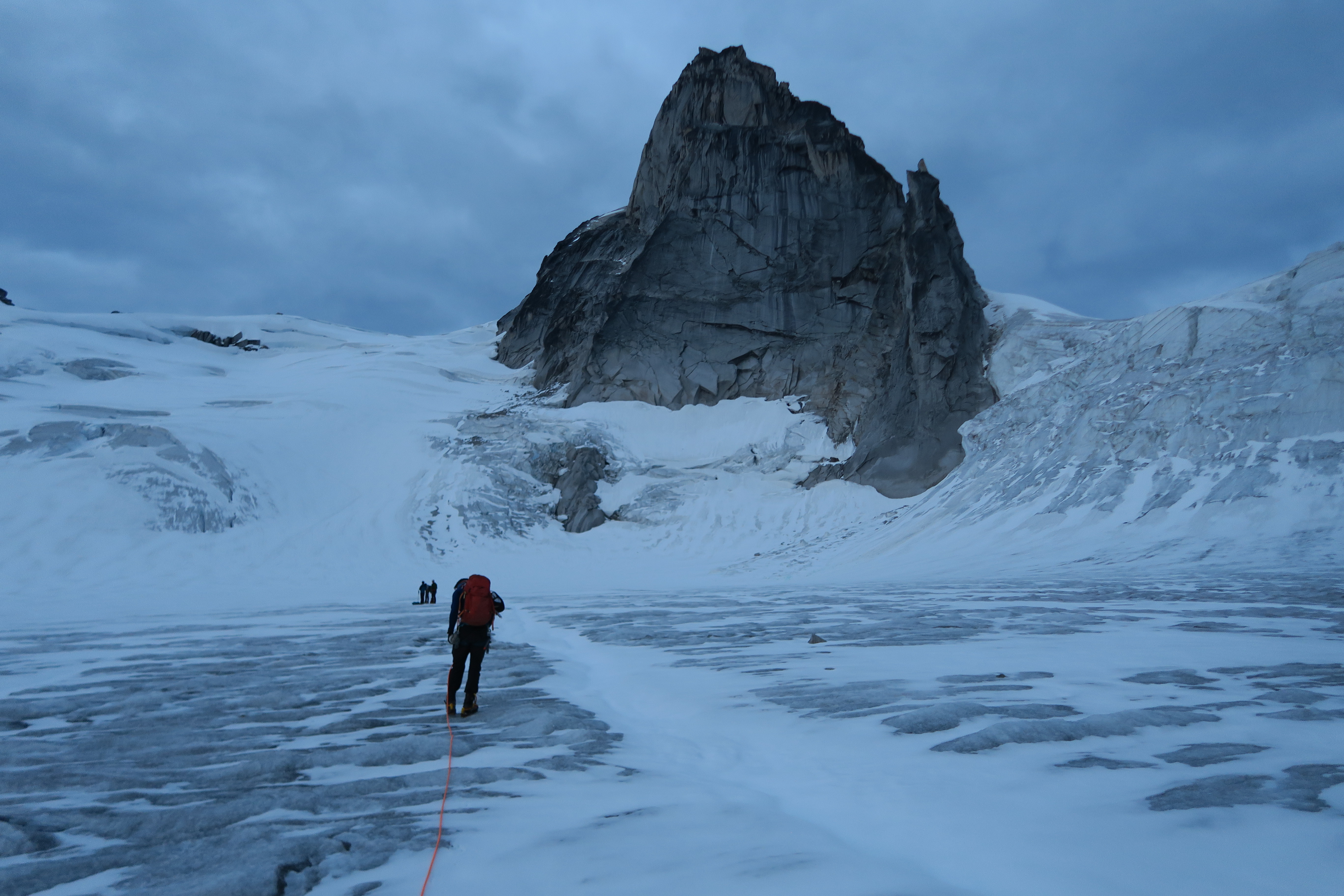
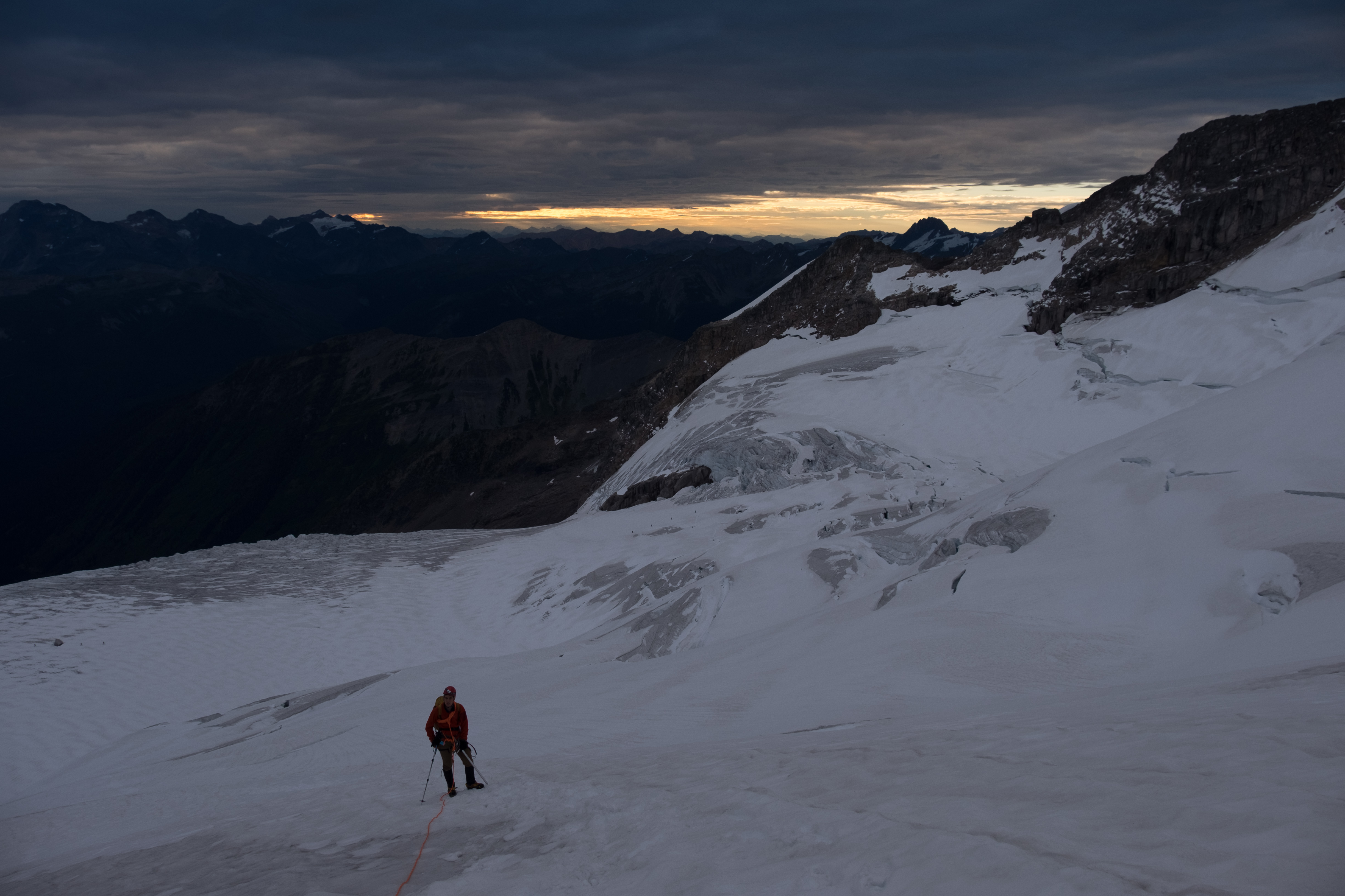
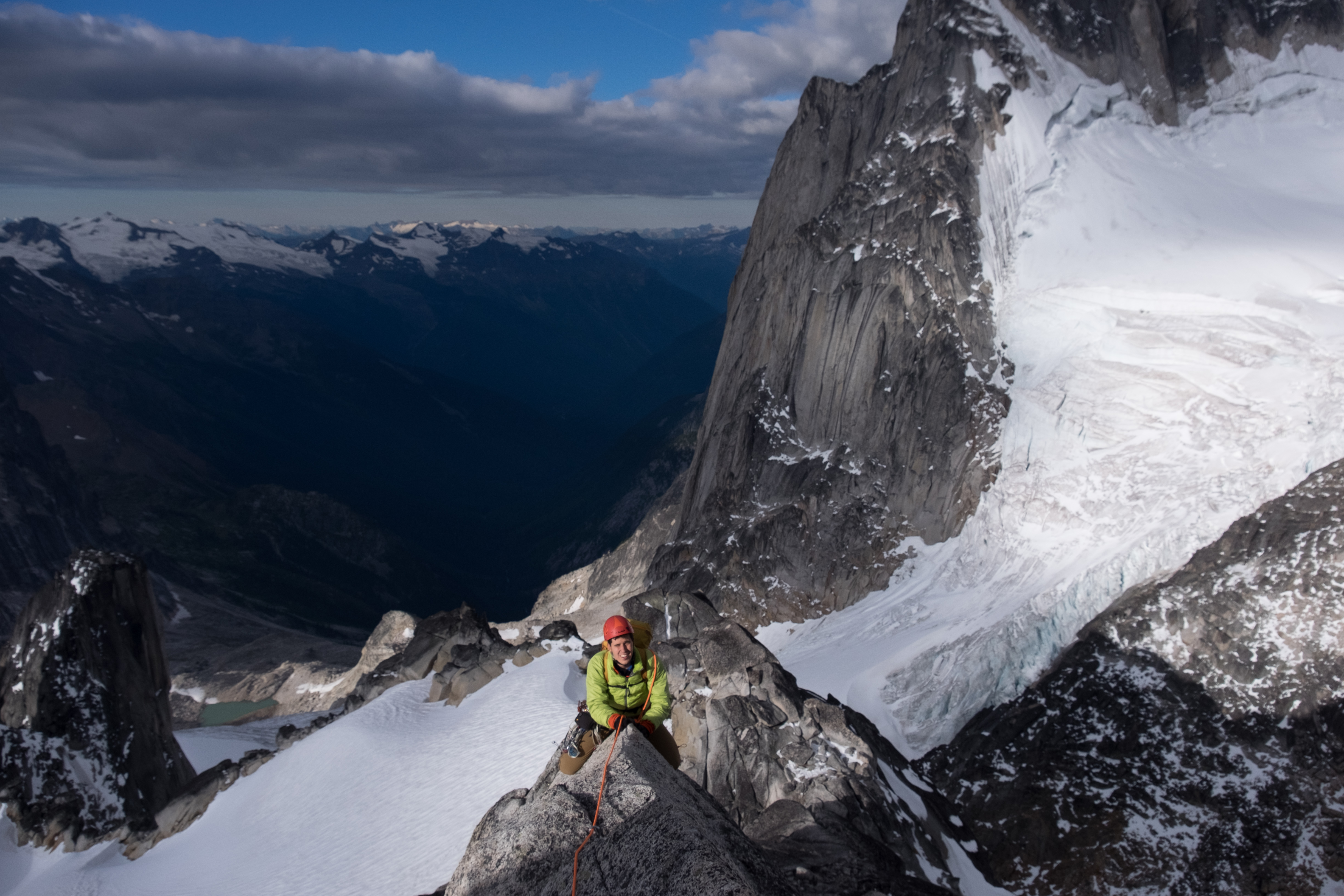
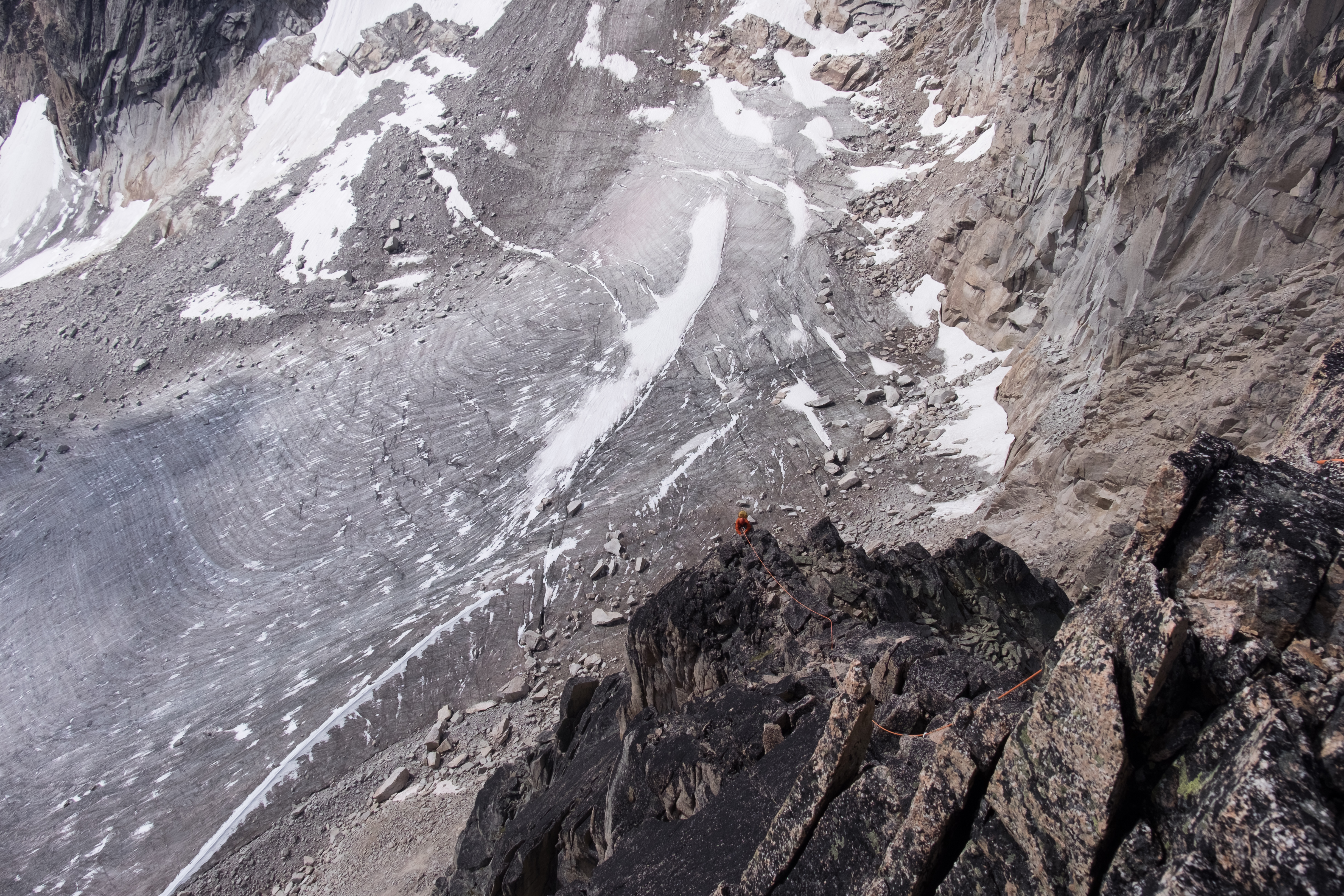
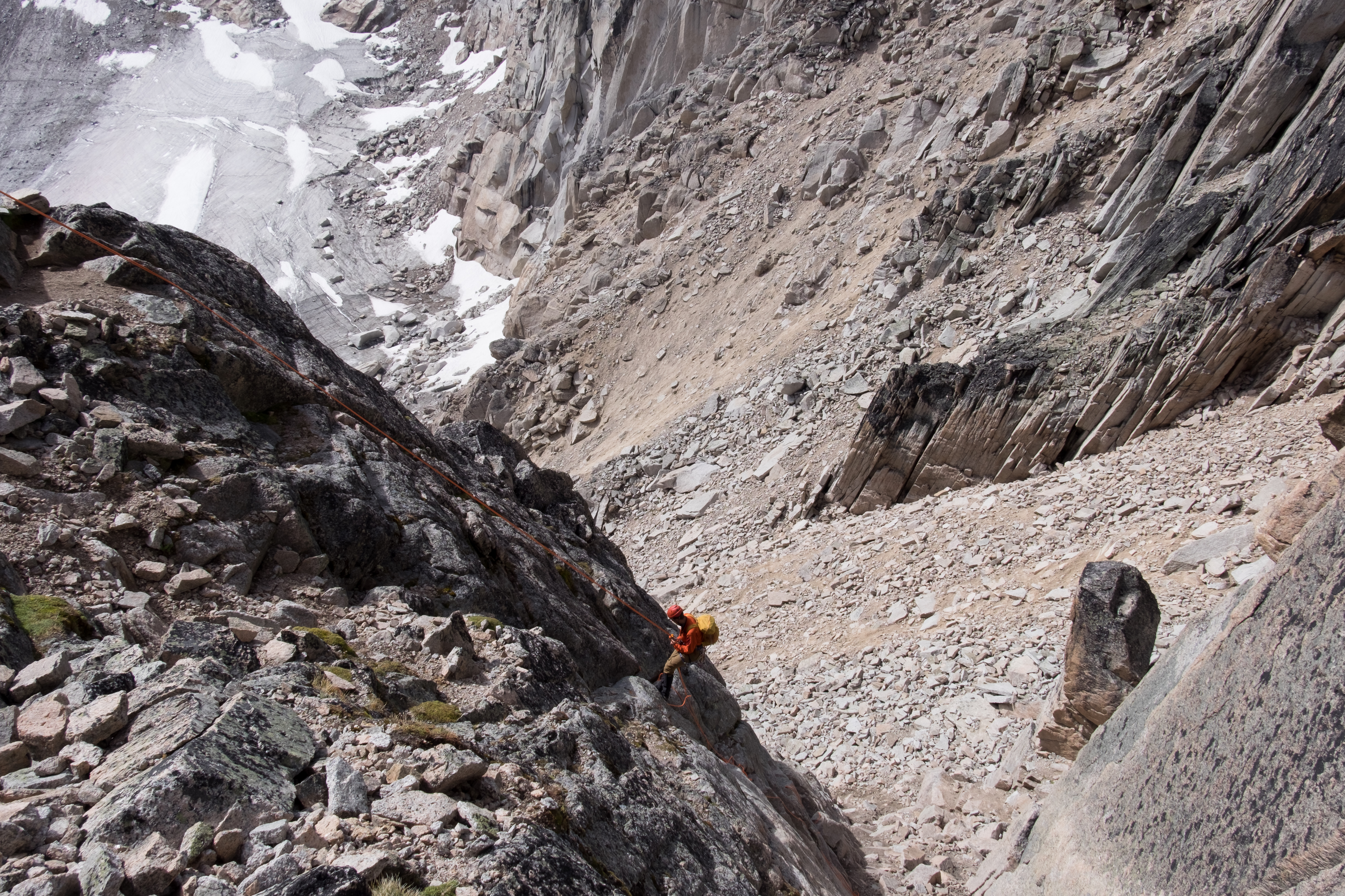
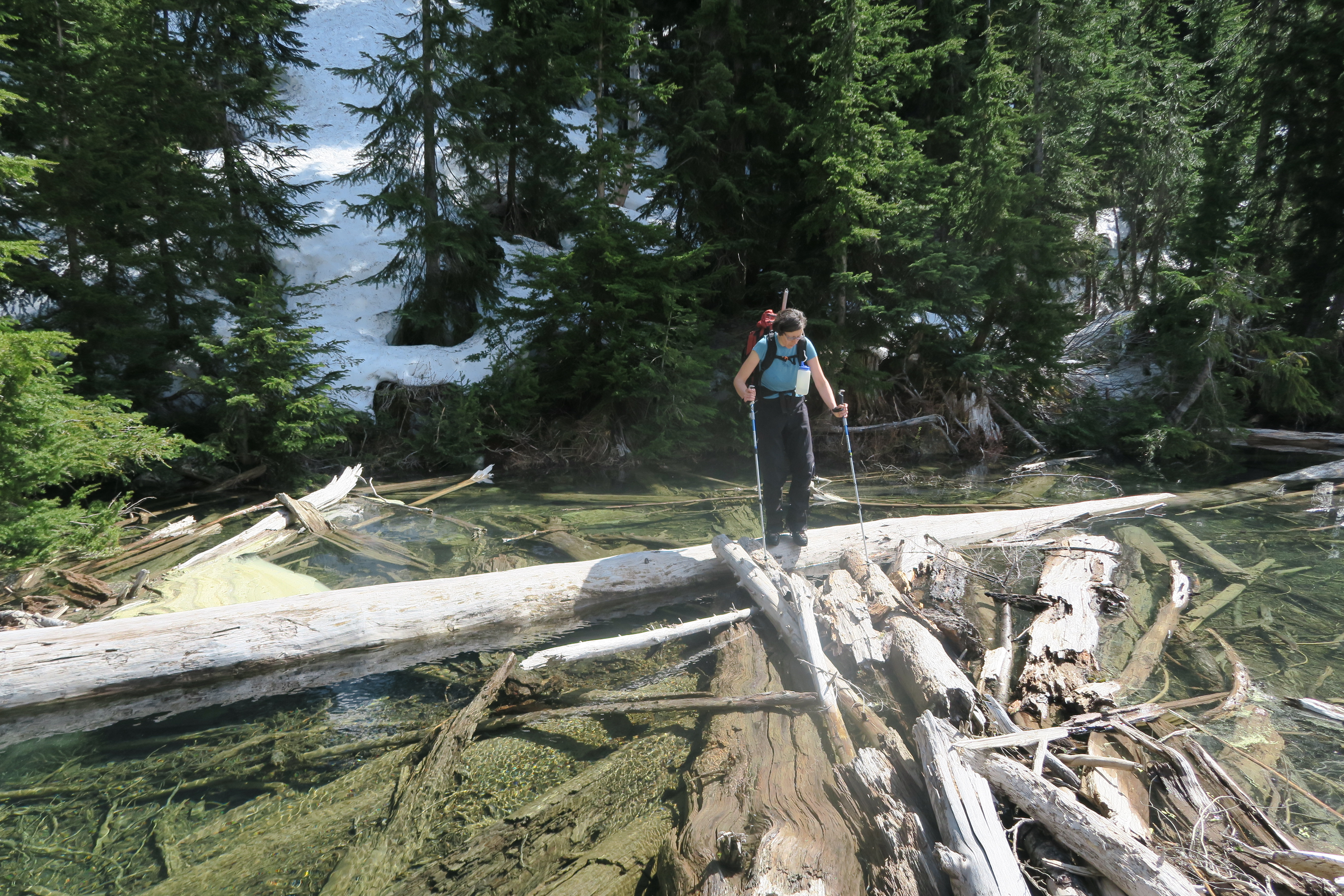
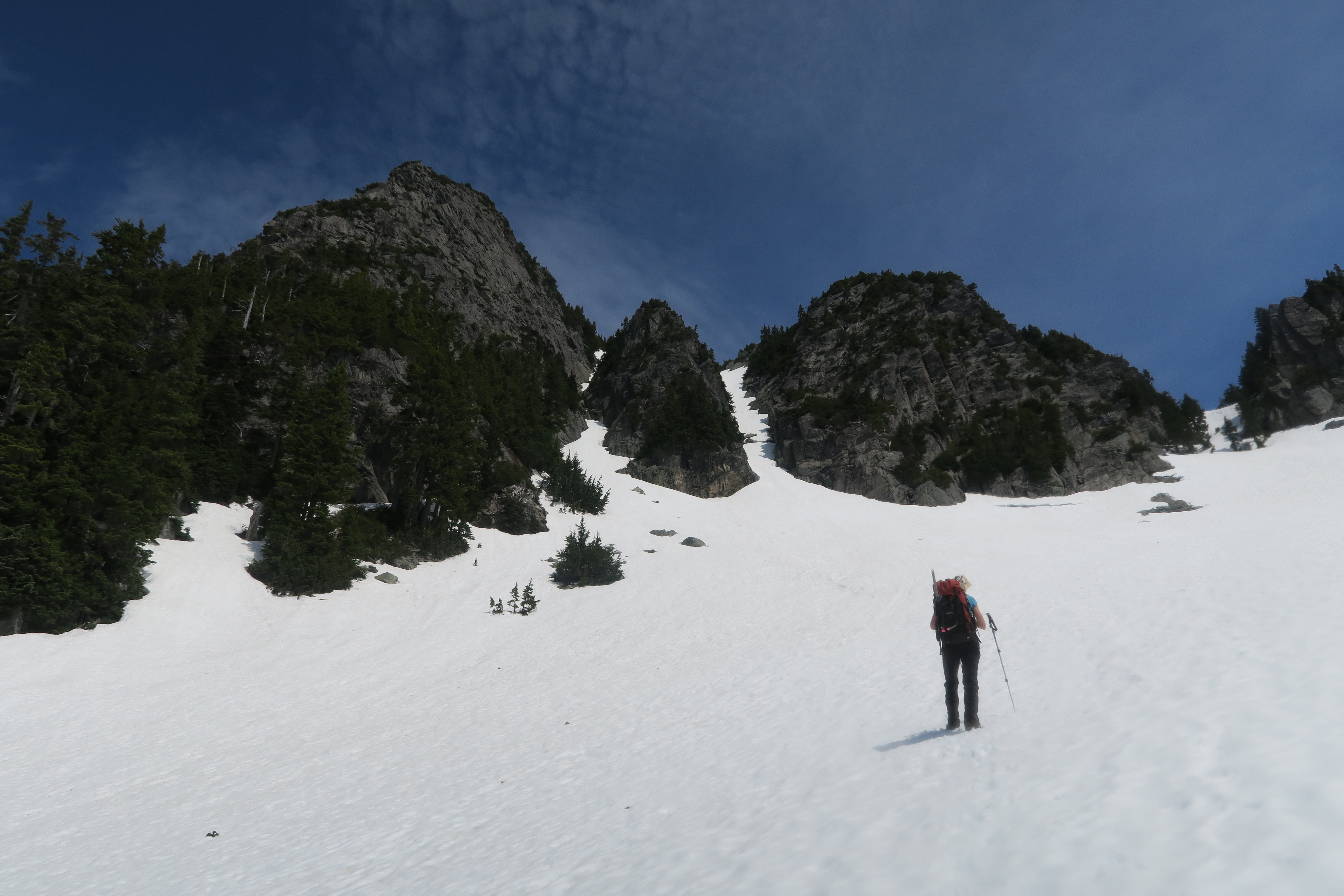
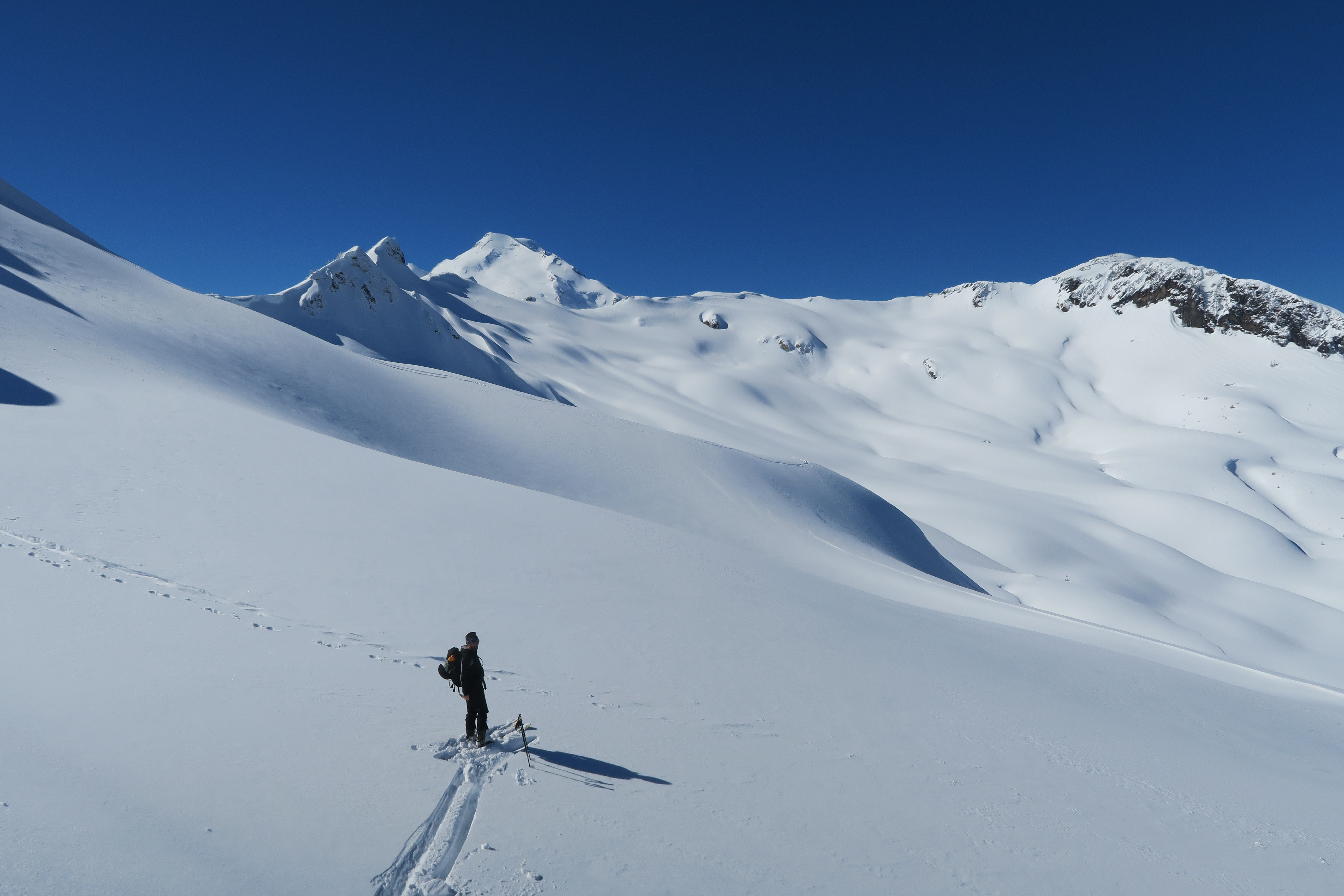
Friday morning we arose at about 4am and after a hot breakfast, set out towards Pigeon Spire just a bit before 5am. The Bugaboo-Snowpatch (B-S) col was reported to be in poor condition and very loose (one of my dad’s friend’s girlfriends was killed in the col some years ago due to rockfall), and so rather than head through the B-S col, we ascended to Pigeon via the Bugaboo glacier. The glacier was in fine condition, dry until the flat area below the Pigeon-Snowpatch col, and snow up above but with the main crevasses obvious and easily avoided. It was at the flats below the Pigeon-Snowpatch col that Craig realized that he’d left his helmet in the hut. While Max and I were climbing on our own, Craig and Greg were climbing with a guide (Paul), and given the lack of helmet, the 3 of them elected to return to the hut and climb something else while Max and I continued on to climb Pigeon. We reached the base of the West Ridge at around 8:20am, well before the crowds arrived. Here we stopped to eat and trade our glacier gear to get set to climb the ridge, which we commenced at about a quarter to 9.
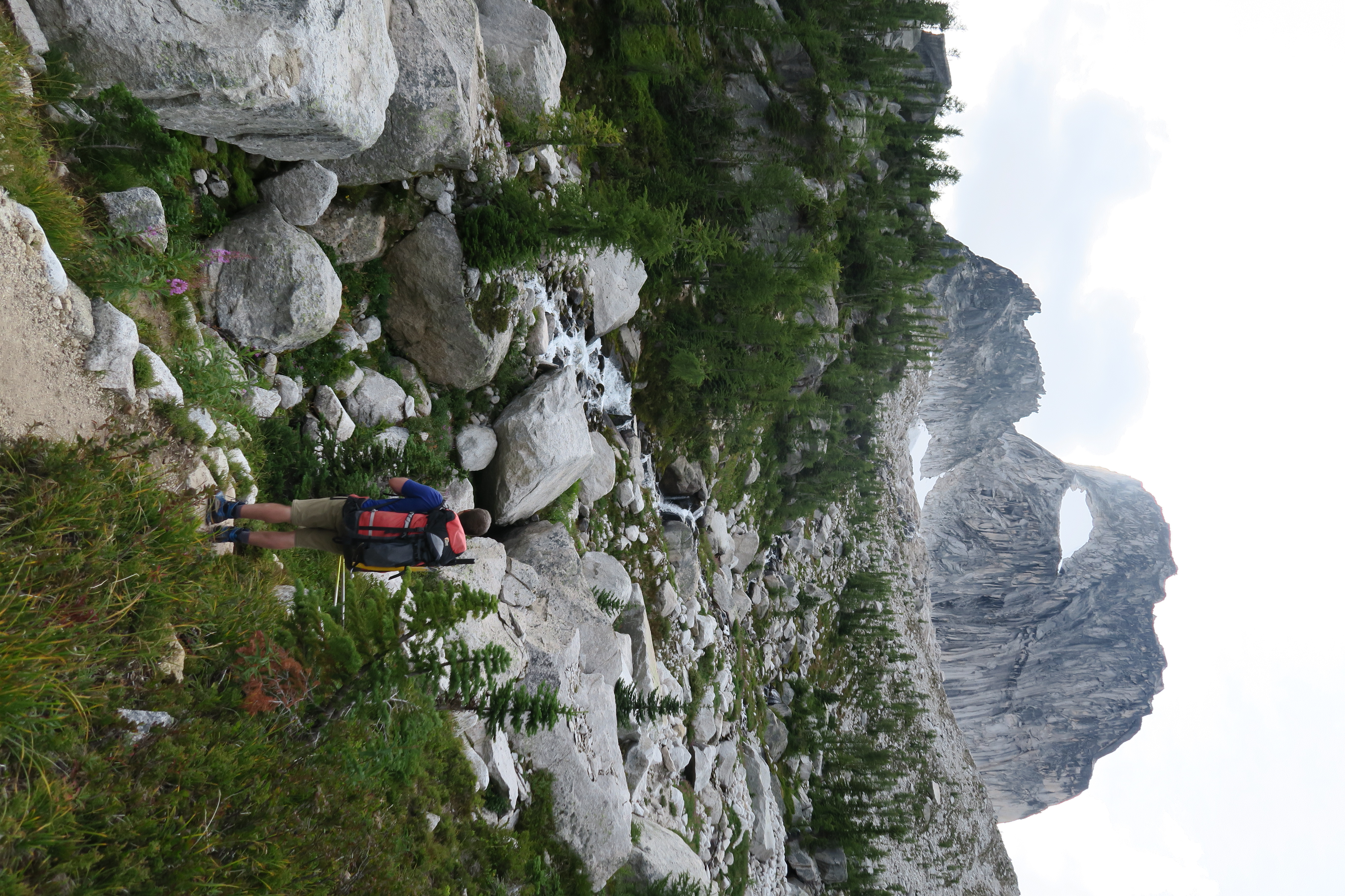
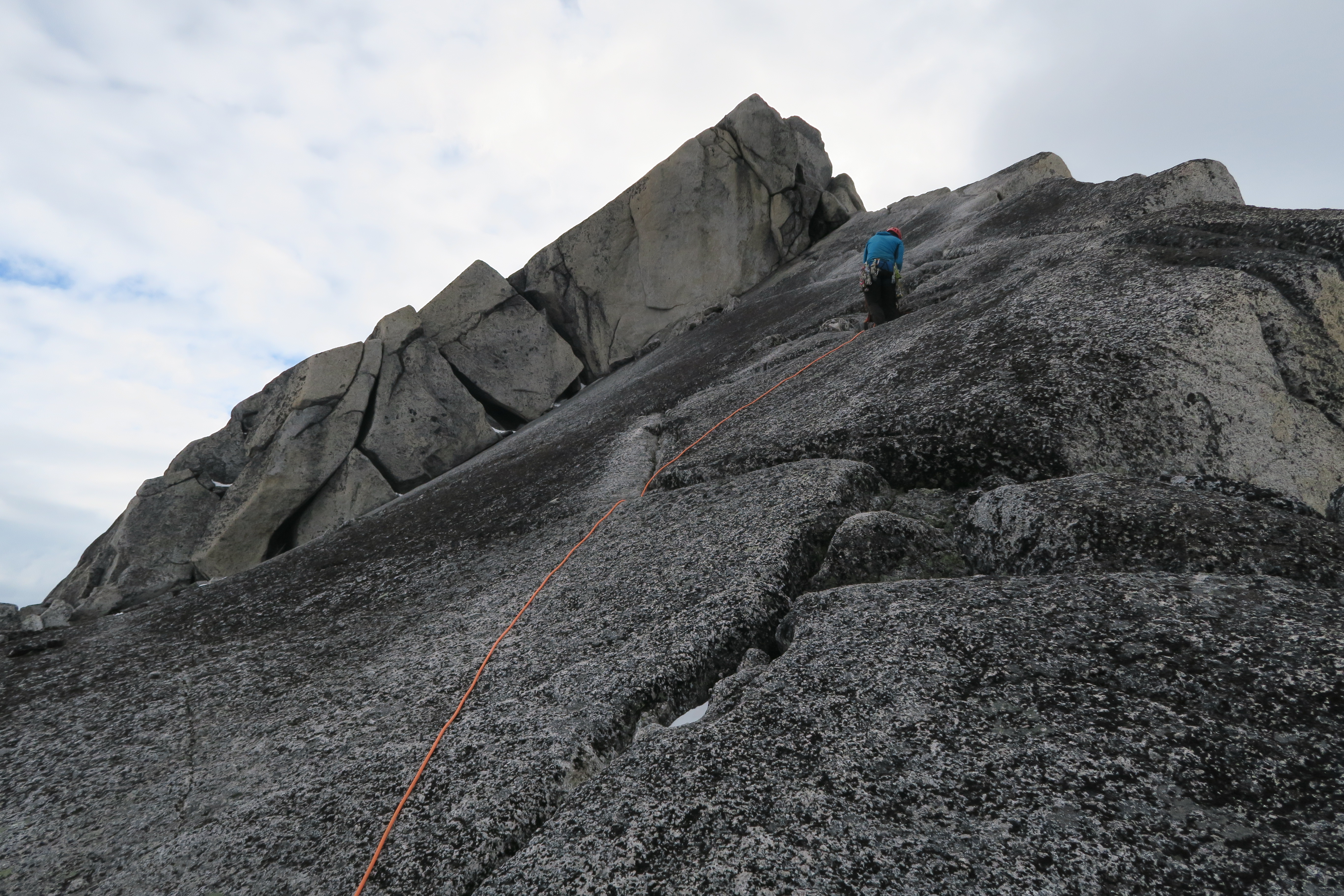
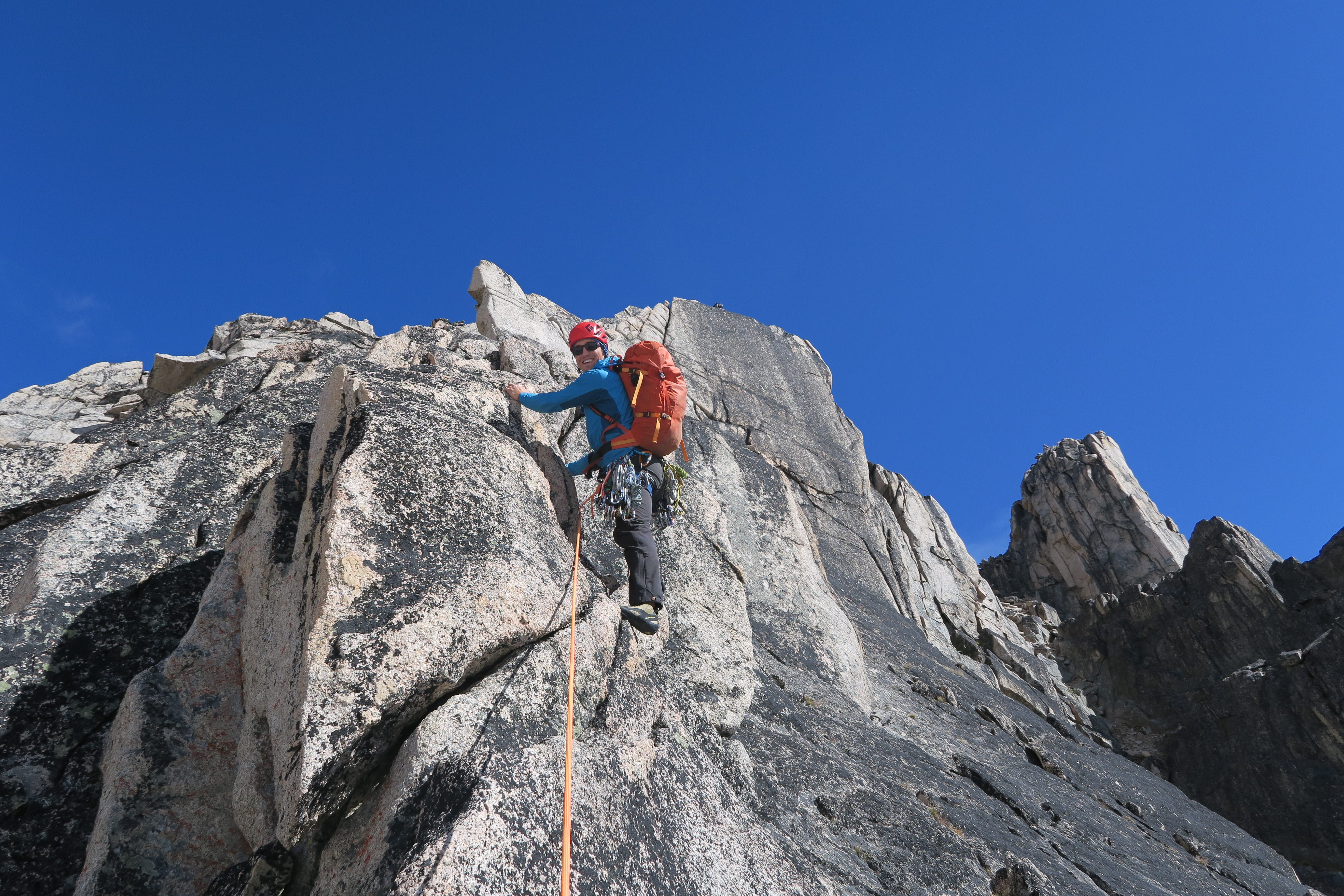
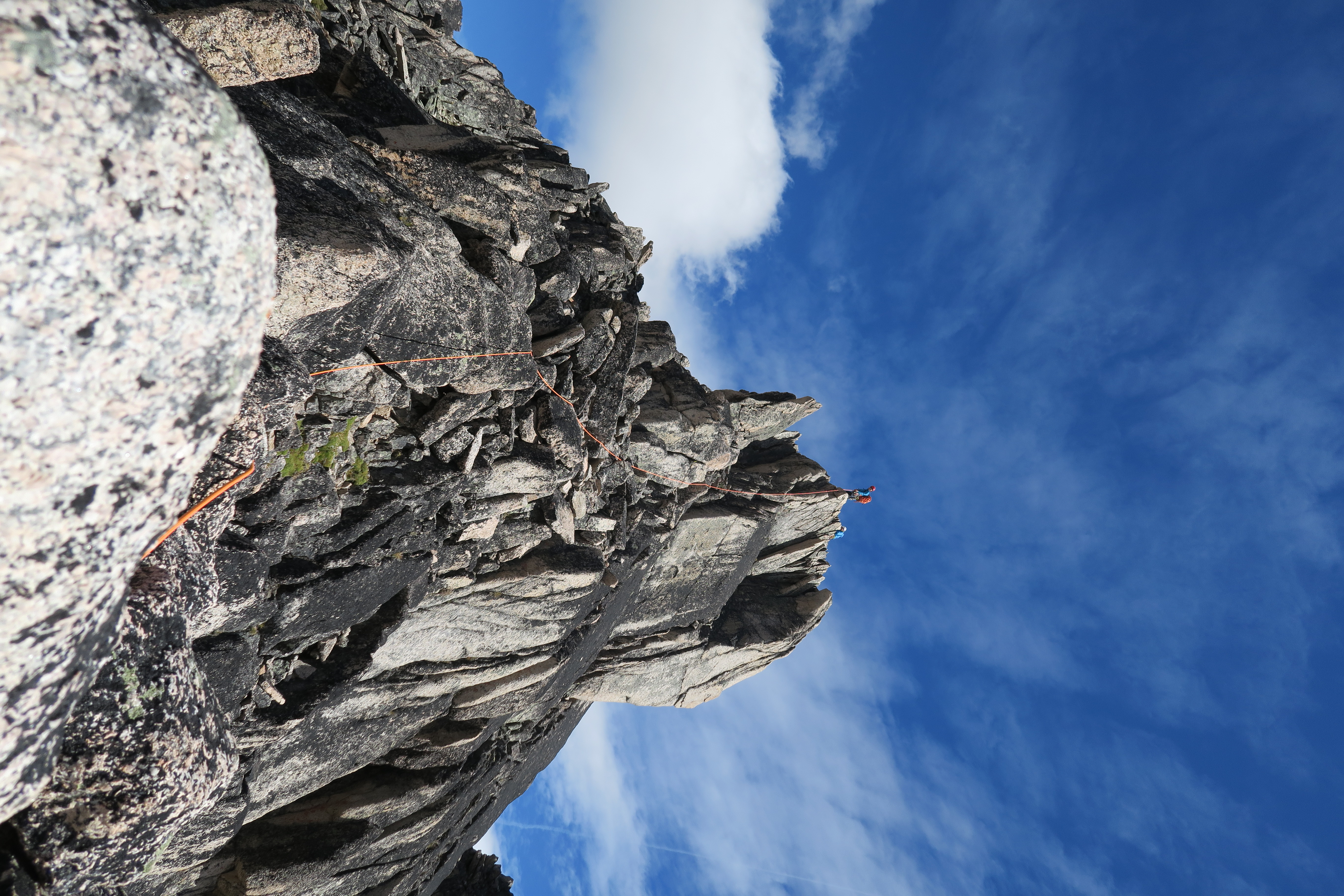
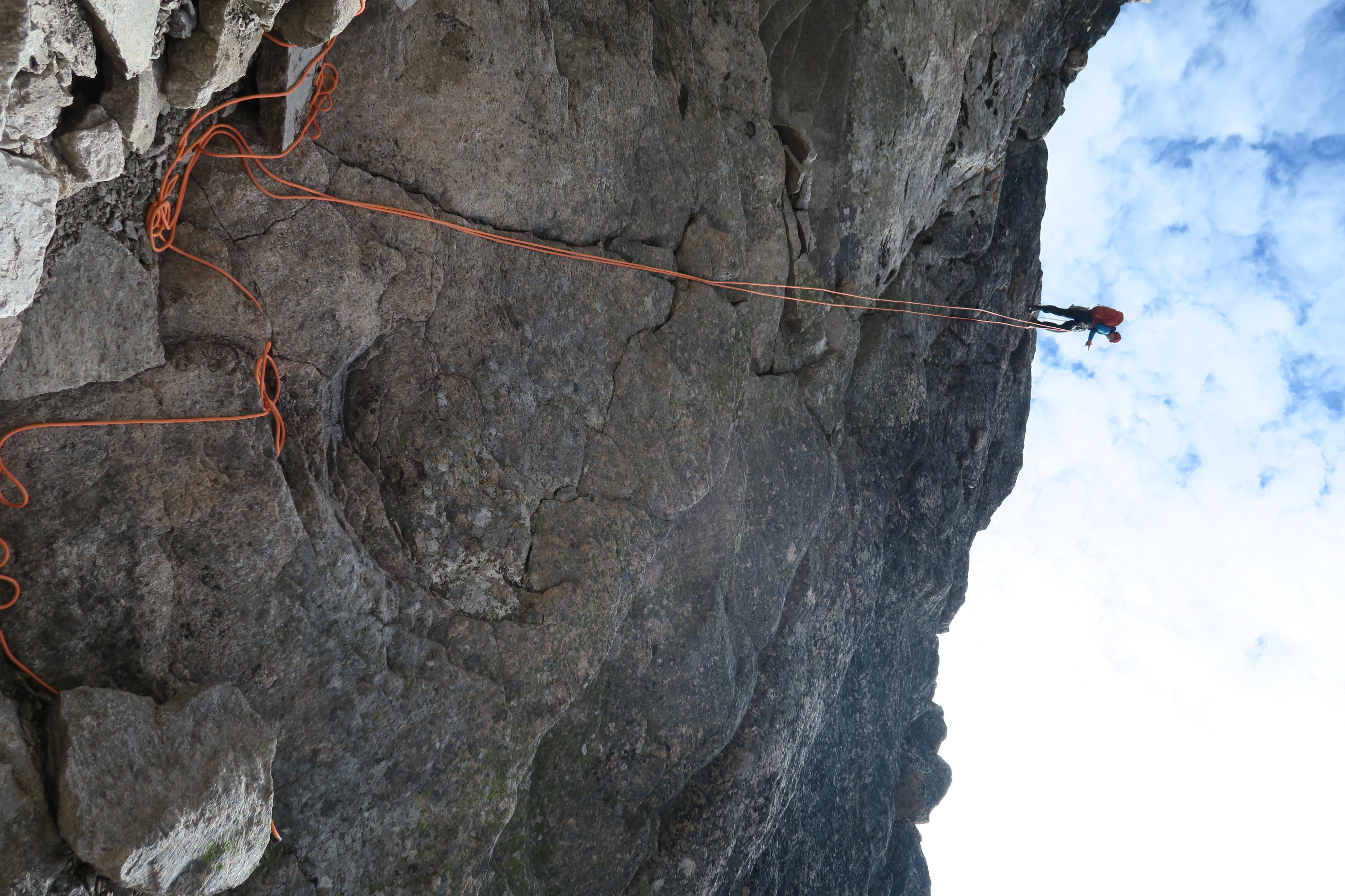
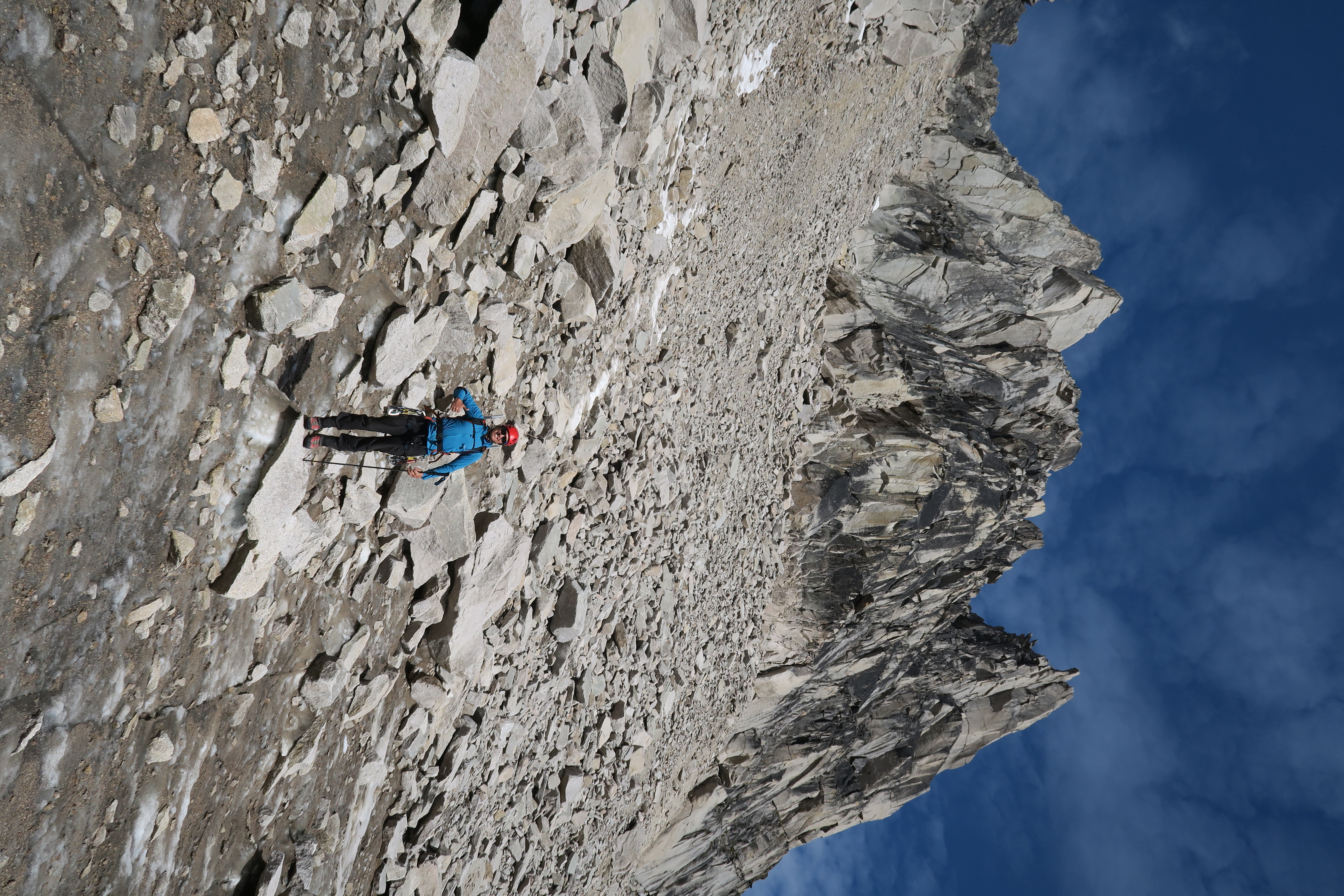
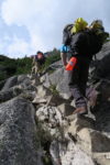
The West Ridge of Pigeon is a really phenomenal route. It’s rated at 5.4, PD, in the guidebook, but it’s not entirely clear to me where the 5.4 climbing is. Rather, it’s a super exposed 4th/low-5th class scramble on near perfect rock featuring . Max and I simulclimbed the route with about 15m of rope between us, and this felt like the best way to go. If you were to pitch out the route it would take forever, but the difficulty and exposure are beyond what I consider reasonable without a rope.
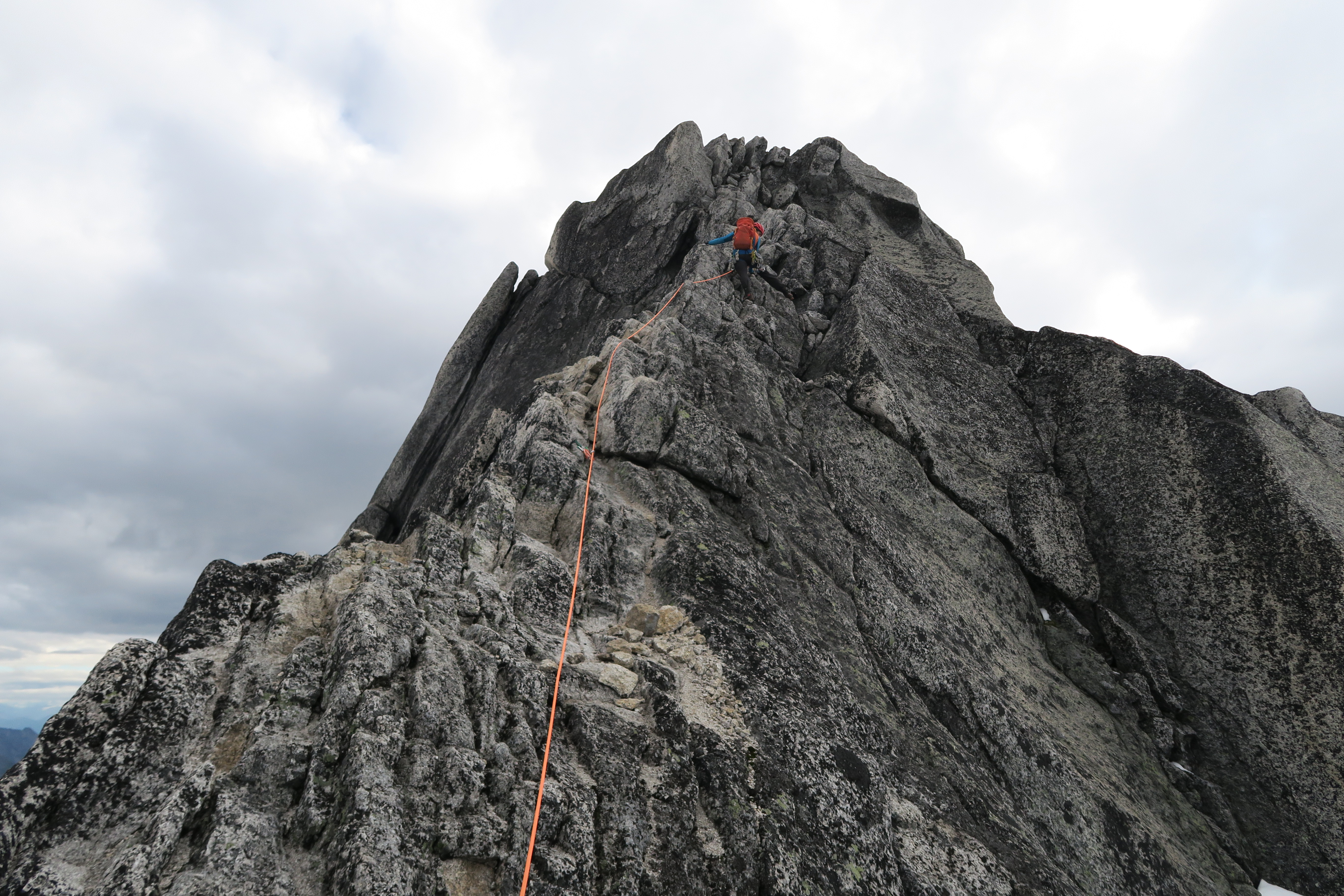
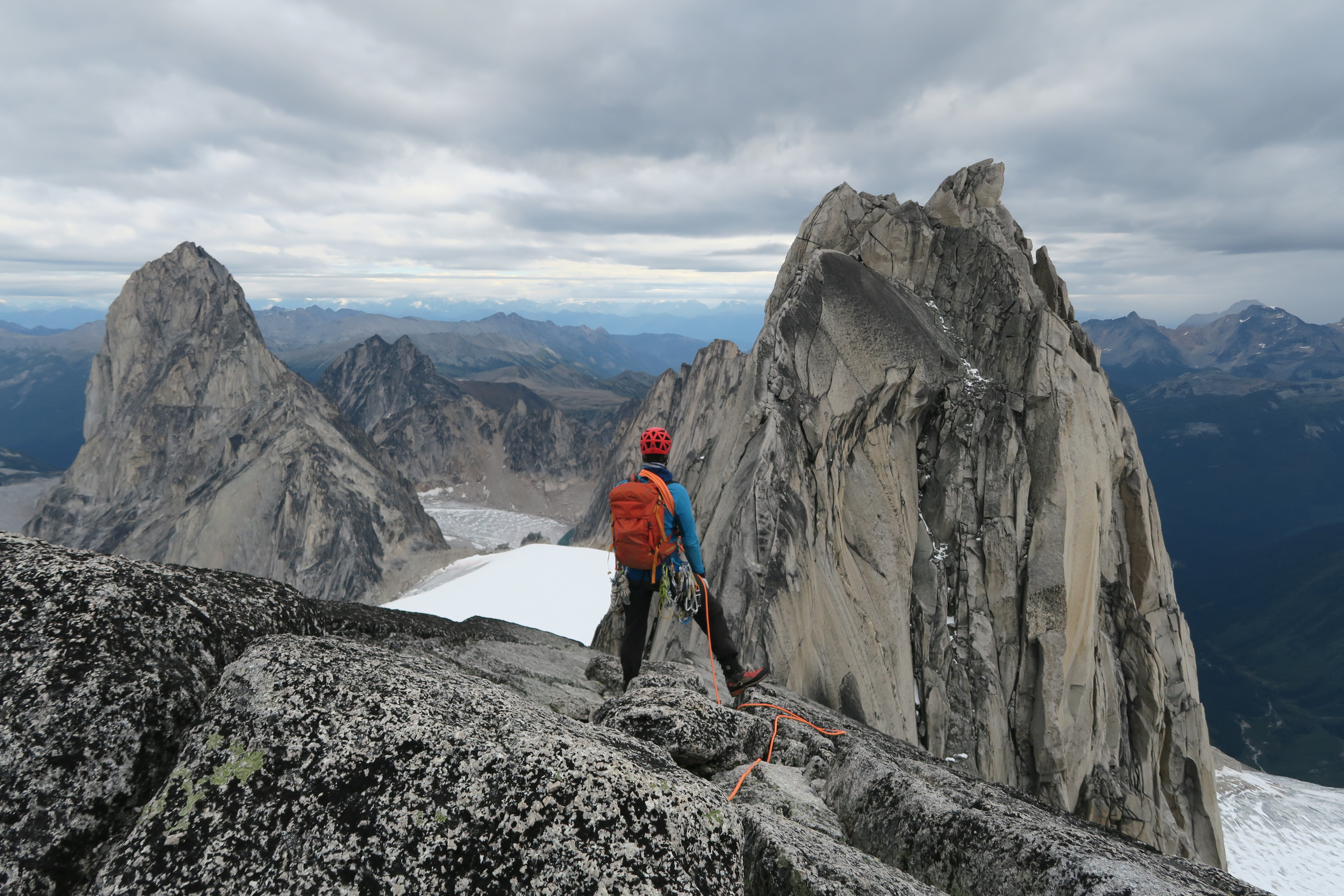
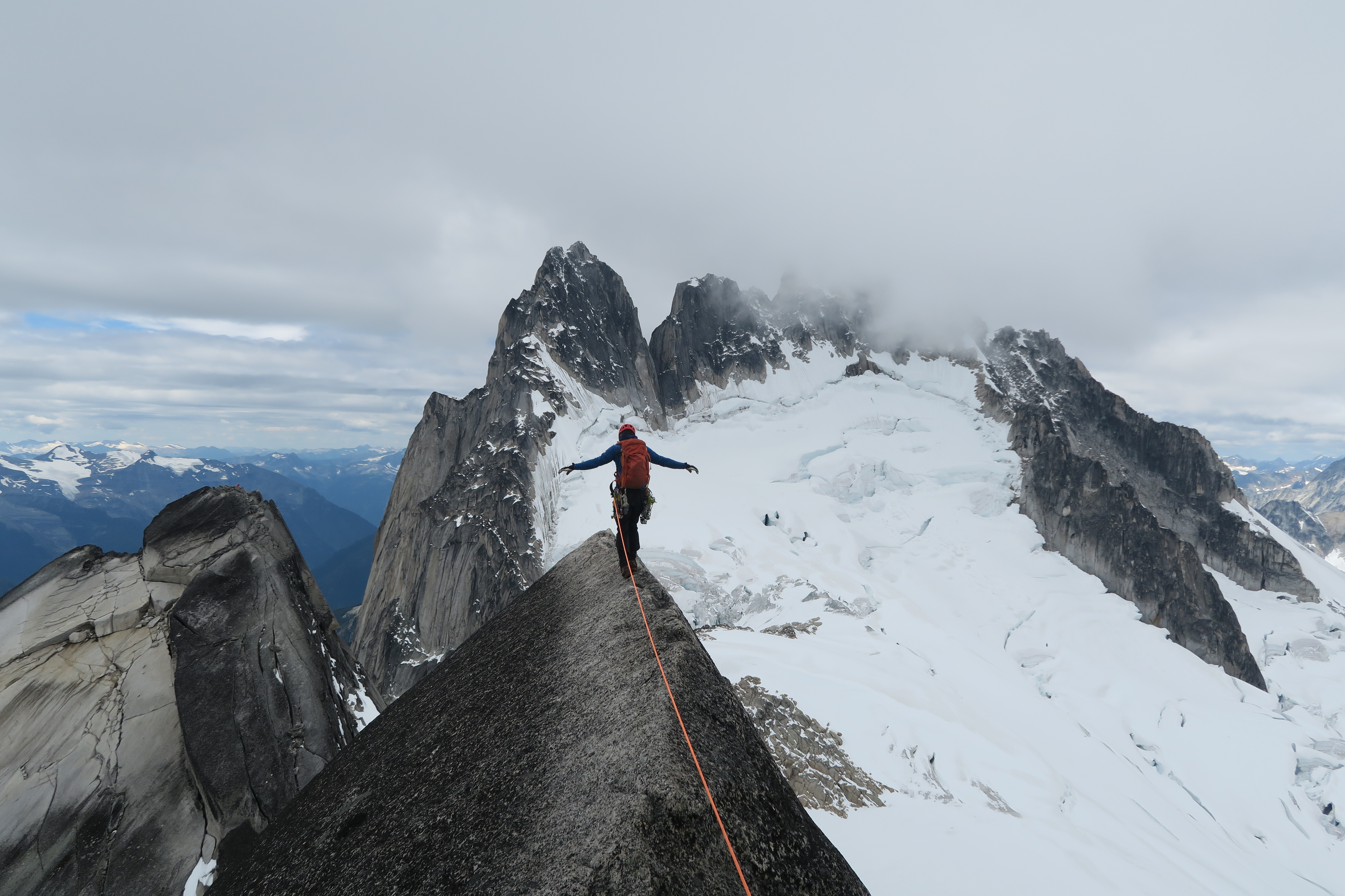
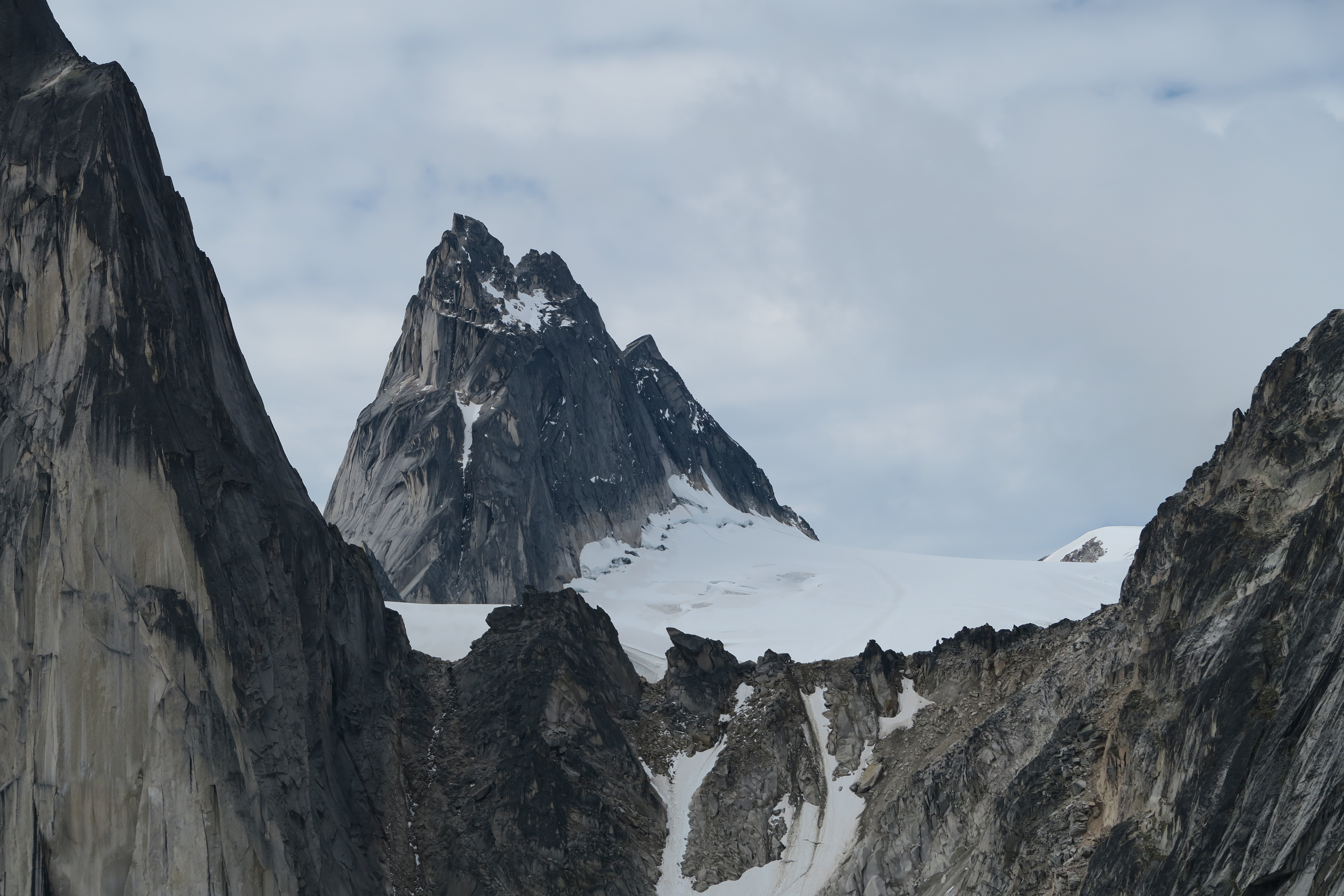
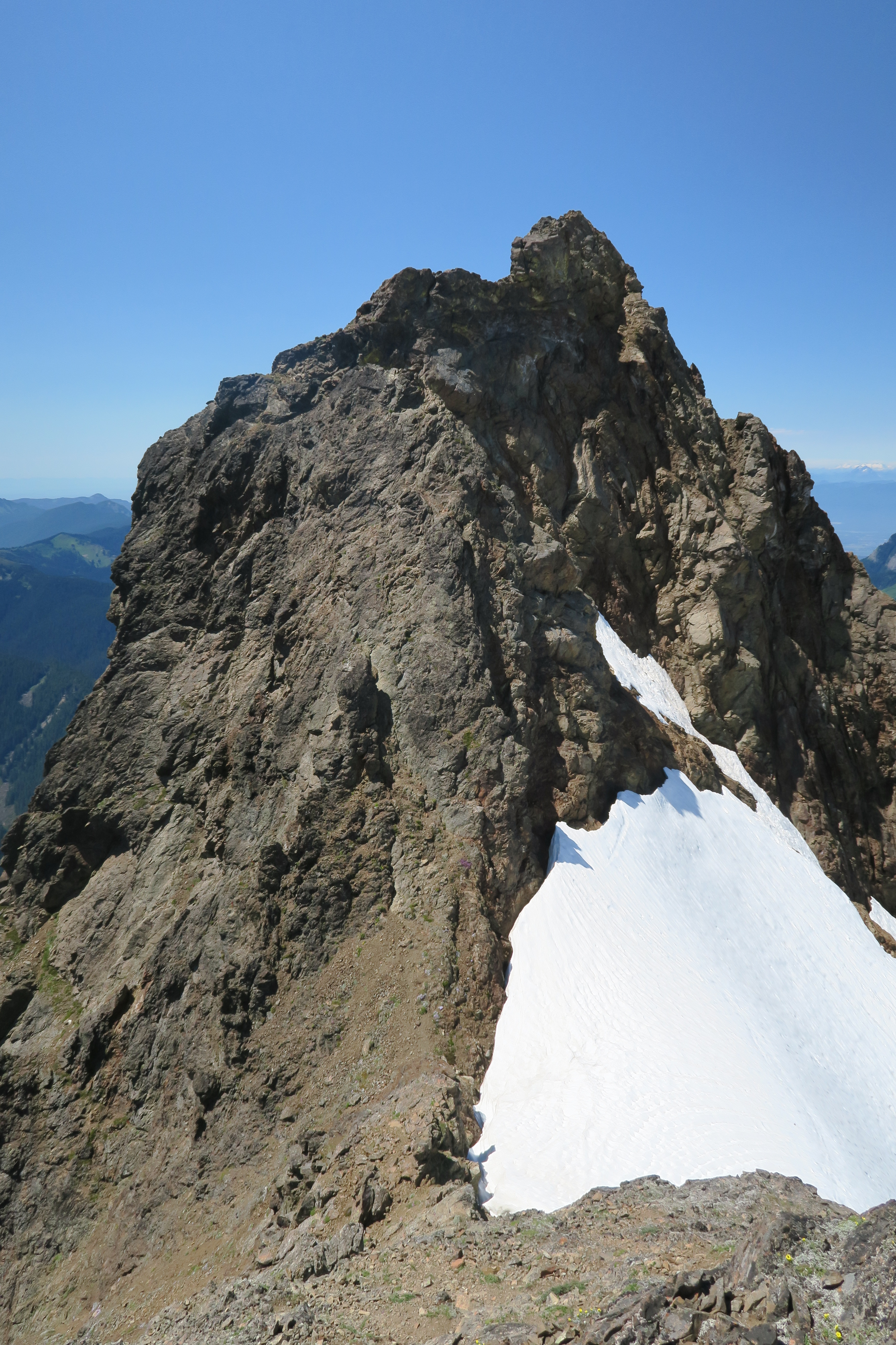
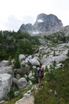
We reached the first subsummit at 9:45, and from here it looks like there’s a really difficult climb coming up to reach the second subsummit, but it turns out that it’s just the angles playing tricks on your eyes, as it continues at about the same difficulty as before. Probably the most iconic photo of the Bugaboos is found just before the second subsummit where there is a 15m section of flat ridge where you can walk right along the crest with the South Howser Tower looming large in the background. The second subsummit was reached at about 10:15, and after another quick water break, we made a very short rappel into the notch between the subsummit and the main subsummit (rap could be avoided to the north, as we found on the way back). From this notch, we scrambled around on ledges on the north side of the main summit until we found a fairly obvious chimney feature. Above this, the guidebook description was very confusing for us, but we found that what it meant was to ascend up on easy ground and to literally go behind a large block and scramble out of it to climber’s left and from there to scramble up and easy gully (largely snow filled) up to the summit proper, which was reached at 11:15.
On the main summit we could see another few parties making their way up the ridge below and didn’t linger for long, and made two rappels (both bolted) down the summit block to the ledges below from which we could scramble up to the second subsummit and stop for a proper lunch break. From here, we simulclimbed down the route back to the base of the ridge, making just one short rappel near the bottom to bypass the first au cheval. We were again at the base of the route around 2pm and the skies rapidly darkened as the Howsers were enraptured by fog. The snow bridges on the upper Bugaboo glacier remained strong as we descended through a minor hailstorm, but on the flats I managed to have my legs pop into a small unexpected crevasse! We were off the glacier just past 3:30 and down at the hut at 4:15, for a total round trip time of a bit over 11 hours.
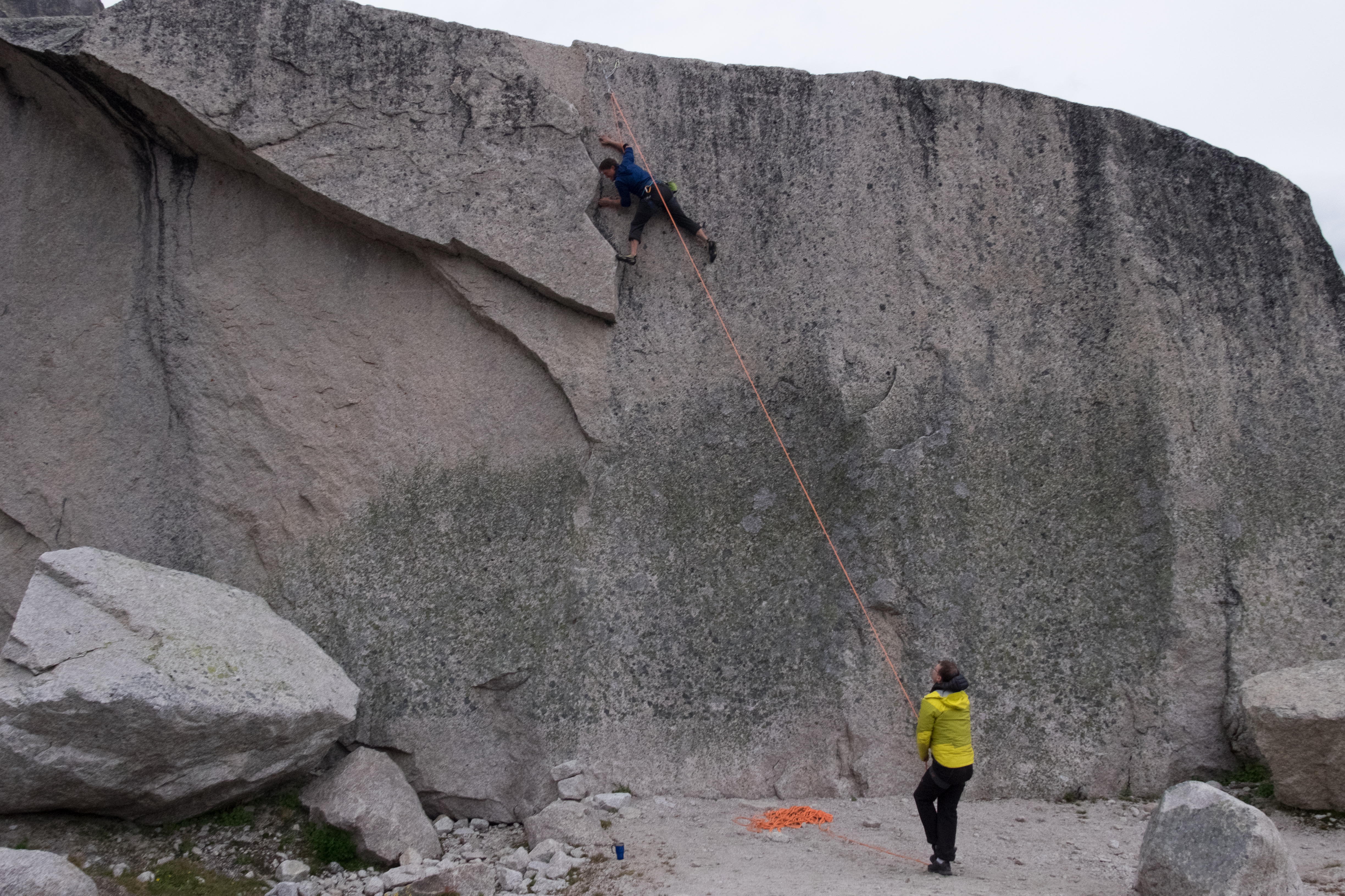
Friday evening I was feeling tired as my lack of exercise this year caught up to me, so while Greg and Craig decided to get up early again on Saturday to head back to Pigeon Spire, Max and I would sleep in a bit and see how things looked in the morning. In the morning, the weather looked fantastic, and so we decided to go climb Lion’s Way (5.6, PD+) on Central Crescent Tower, the same route that the other guys had climbed the day before.
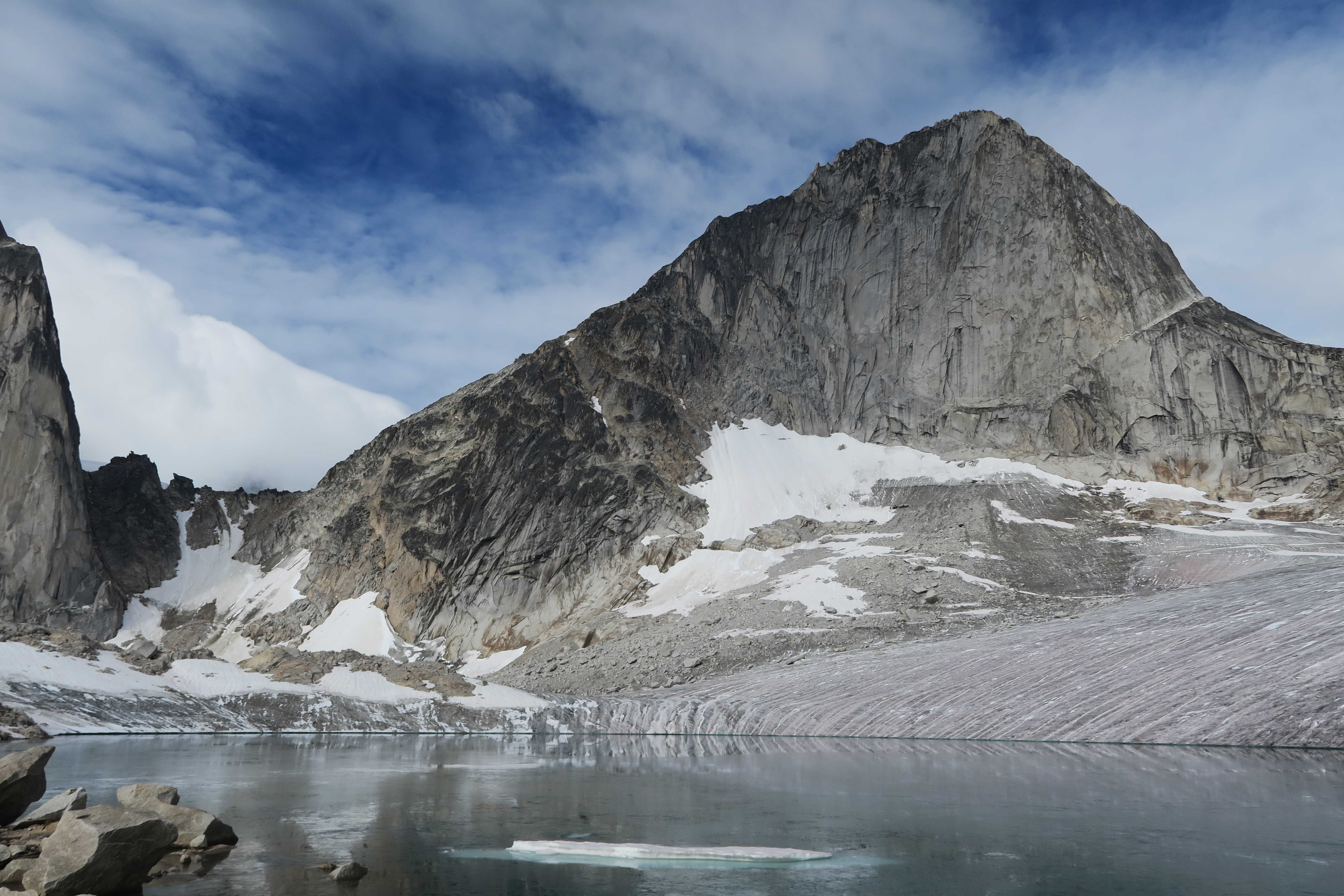
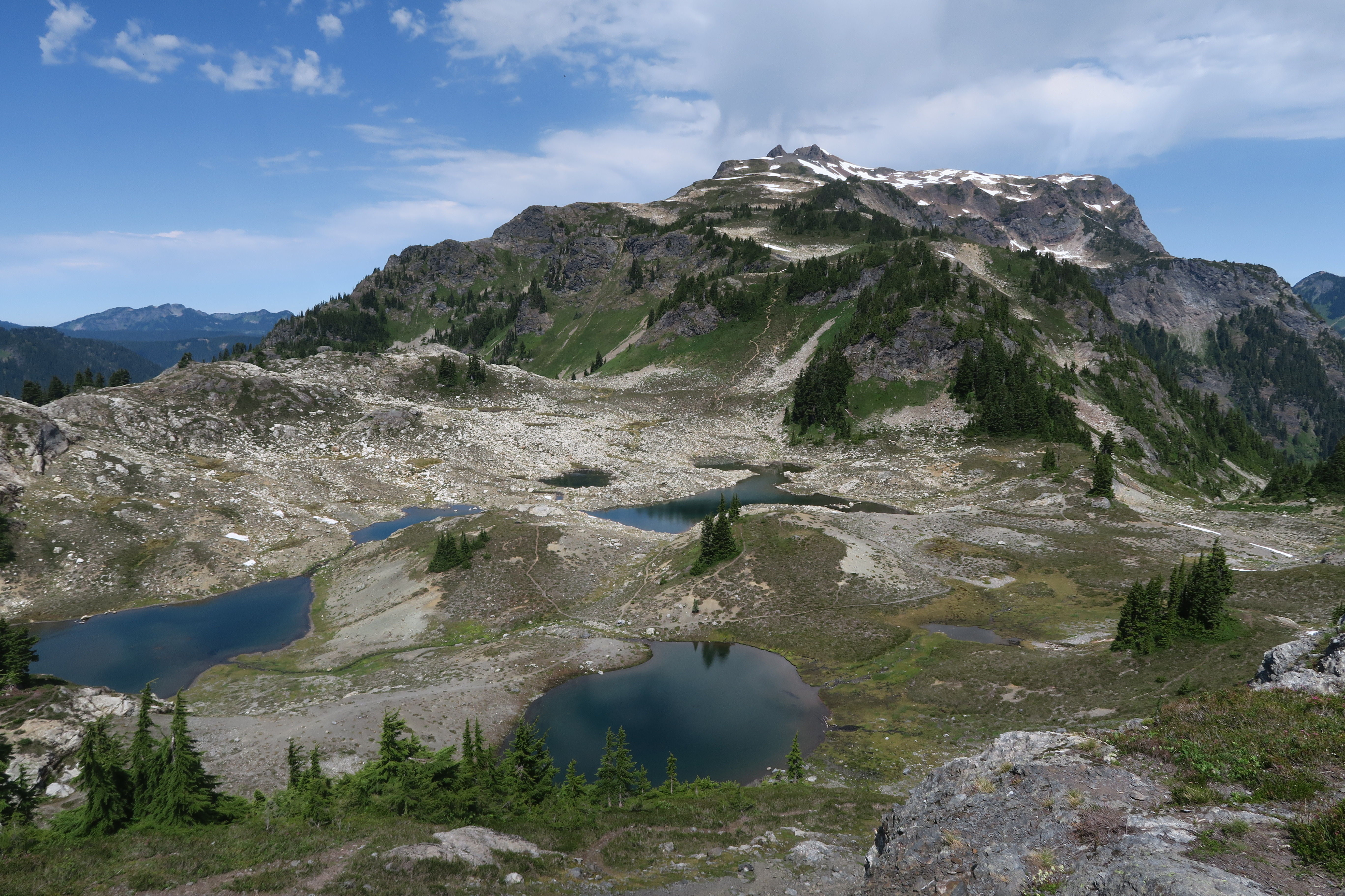
On Saturday we left the hut a bit past 9am and walked up past the Appleby Dome campground, past some beautiful lakes, and towards the Crescent towers. The final lake was a bit interesting to find the right route around and involved a bit of scrambling, but we found our way to the route and could see a couple parties ahead of us already on the route. From the final lake we made our way directly up to the base of the route through the boulder fields and this turned out to be a big mistake. The boulder field consisted entirely of large refrigerator sized boulders and was thoroughly unstable. This ended up being the one part of our trip that had both of us freaked out and we were incredibly happy to reach the base of the route itself and find solid rock. Next time around, I would walk up the edge of the glacier a bit until we hit the gully that heads up between the north and central Crescent towers and follow it up to the base of the route because the rocks in the gully are much more stable as well as much smaller.
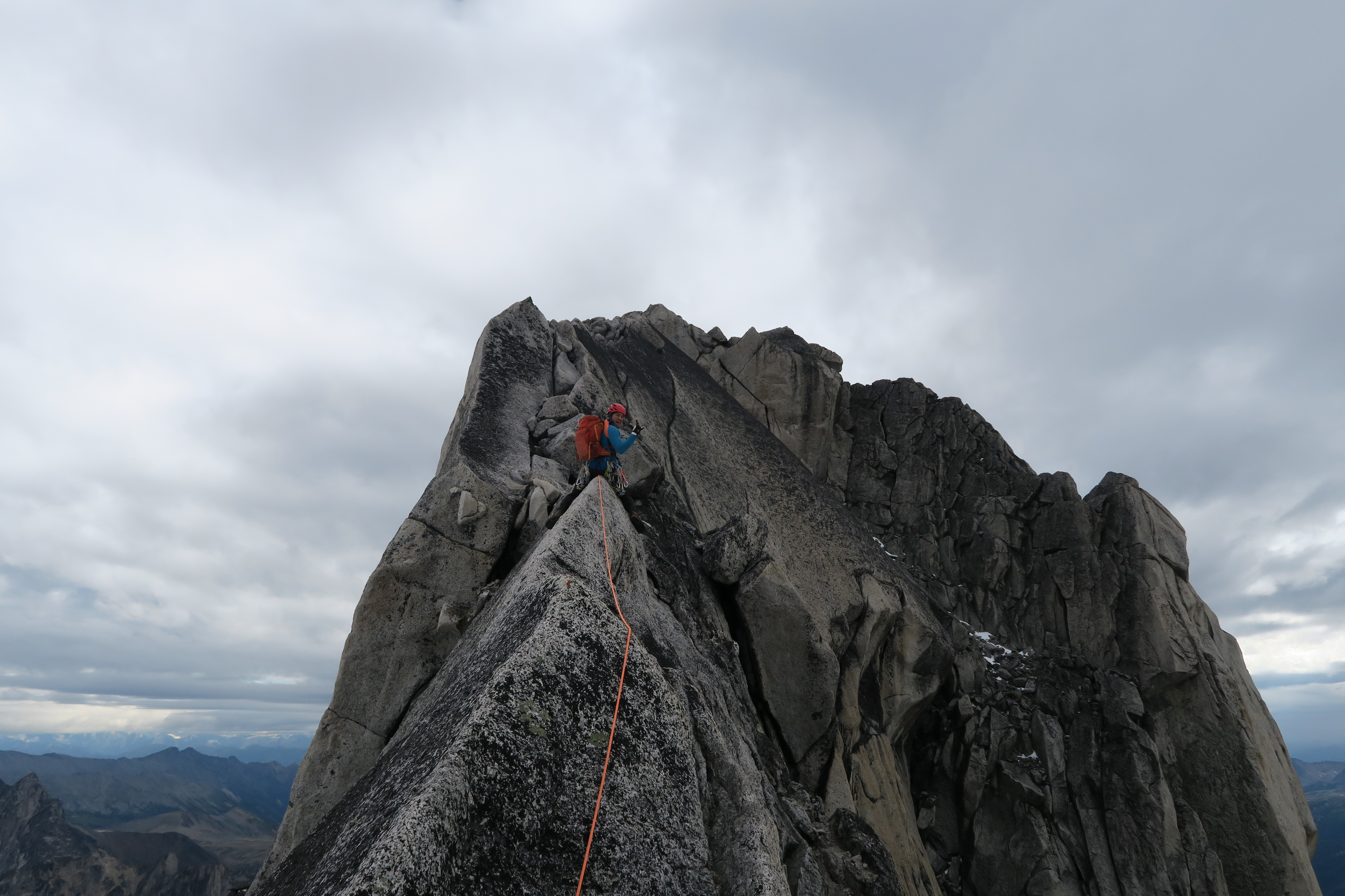
We started climbing at 11:15, and the first few pitches were very easy although where exactly we were supposed to go to find the crux crack leading up to the ridge proper was not entirely obvious (hint: it’s further up and to the right than you might expect). At the base of the crux we caught up to another party that was moving slowly. The duo was comprised of a Spaniard and a Canadian guy, both from Canmore, and as best we could tell, both of these guys woke up that morning on the wrong side of bed. The two guys were at each others’ neck for as long as we could hear them, swearing nonstop at how useless the other guy was, at how the other guy didn’t know how to climb / belay / build anchors / etc. Even worse, one of them had started off in a huff and left his pack behind to lead the crux pitch, leaving the other to haul it below him on a tether as he seconded the pitch. I’ve always figured it’s a good idea to stay on good terms with your climbing partner so that he doesn’t end up in a murderous mood, but here I learned that not everyone shares this view.
Max was eventually able to pass the bickering duo a pitch above the crux, where the route eases off into a long stretch of low-5th meandering (with one surprising short finger crack that was unexpected), and for most of the rest of our ascent we could hear them yelling at each other below us. The summit was reached at 2:15, for a total ascent time of 3 hours.
There is a short steep step to downclimb to get off the summit that we belayed each other down on, and from there there is a well trod path down the gully between the central and north Crescent towers. There is one steep step near the base of the gully but if you hunt around you can find a bolted rap station and bypass the step. Below this, it’s just a matter of easy talus scrambling back to the gear we’d left at the bottom of the route and down to the edge of the glacier below, which we reached at 3:45. Here we stopped for an extended break for no reason other than to enjoy the awesome environs. Below, we stopped for Max to swim and experiment with hypothermia in the glacial lake, and then made our way down to the hut. Total round trip time approximately 8.5 hours. That evening we knew there was no early start coming and could sit around, try climbing the massive boulder outside the hut, and later test the scotch that Craig had hauled up to the hut, along with some plastic shot glass type vessels that lacked any seal around their bottom and steadily leaked.
Sunday morning brought the expected miserable weather, and we took our time getting ready to leave. The rain abated somewhat by 10:15, and headed back to the vehicles, which we reached just past noon.
In conclusion, we had two fantastic days of climbing. Although the summer was wet, we had two days of great weather and that was all we needed to bag two classic routes and wish Greg well as he enters a life of marriage. Thanks to all of you for the great trip and especially for Craig for organizing the whole thing.
-
-
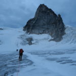
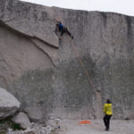
Parking Lot – Setting out
-
-
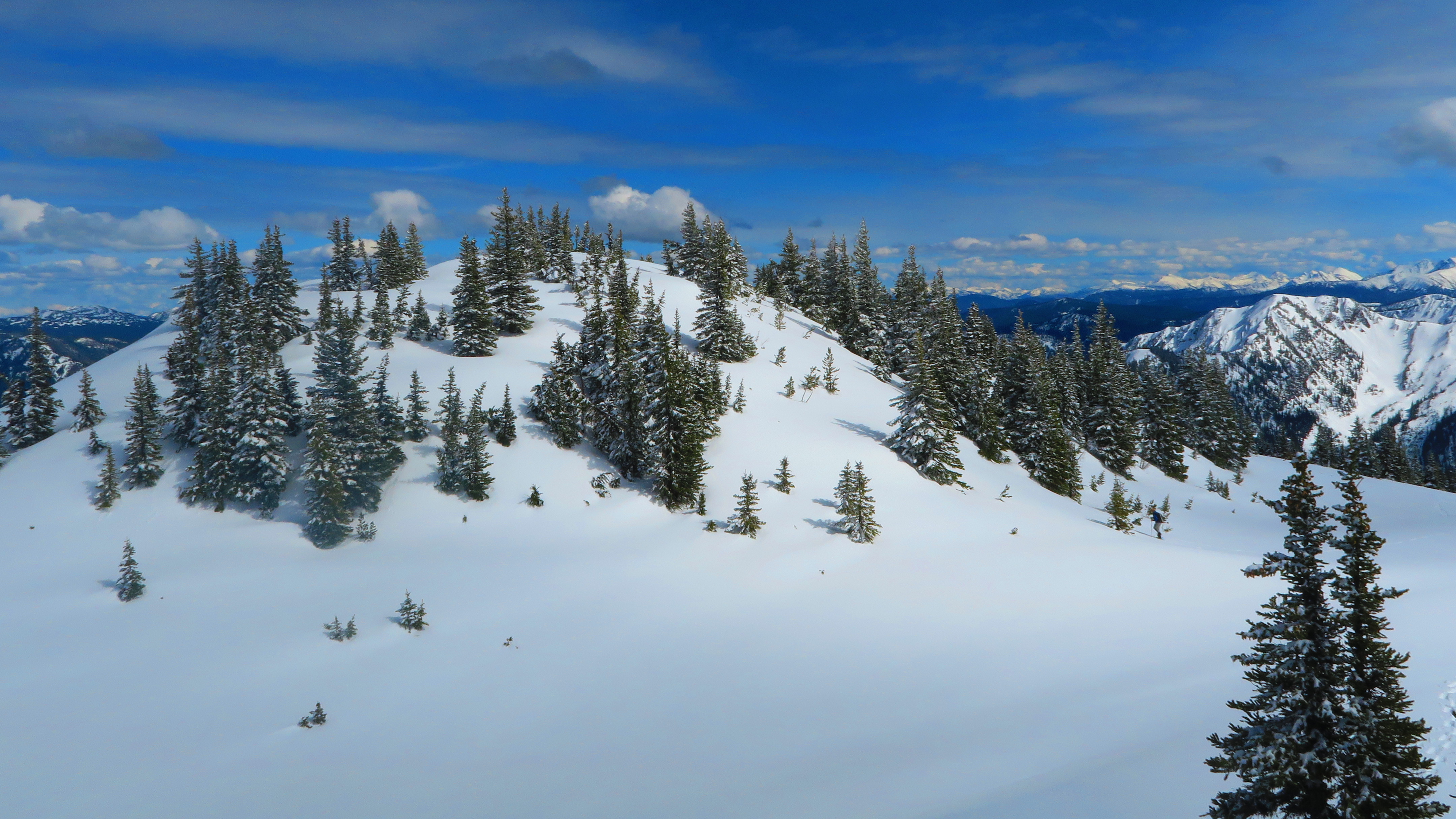
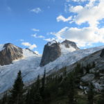
Early view on trail
-
-
Well developed trail
-
-
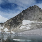
Nearing the Kain hut
-

-
Arriving at the hut
-

-
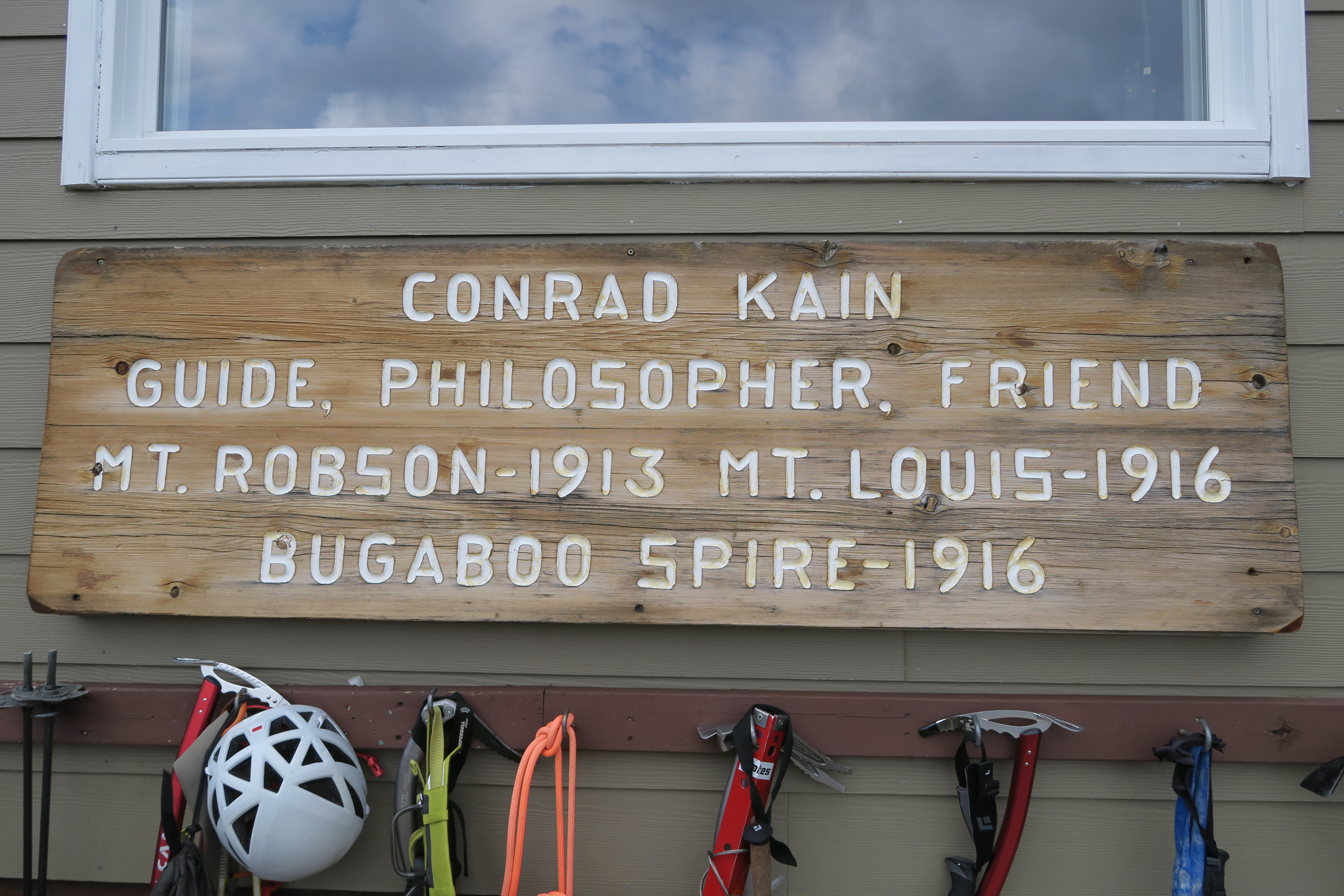
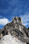
Conrad Kain
-
-
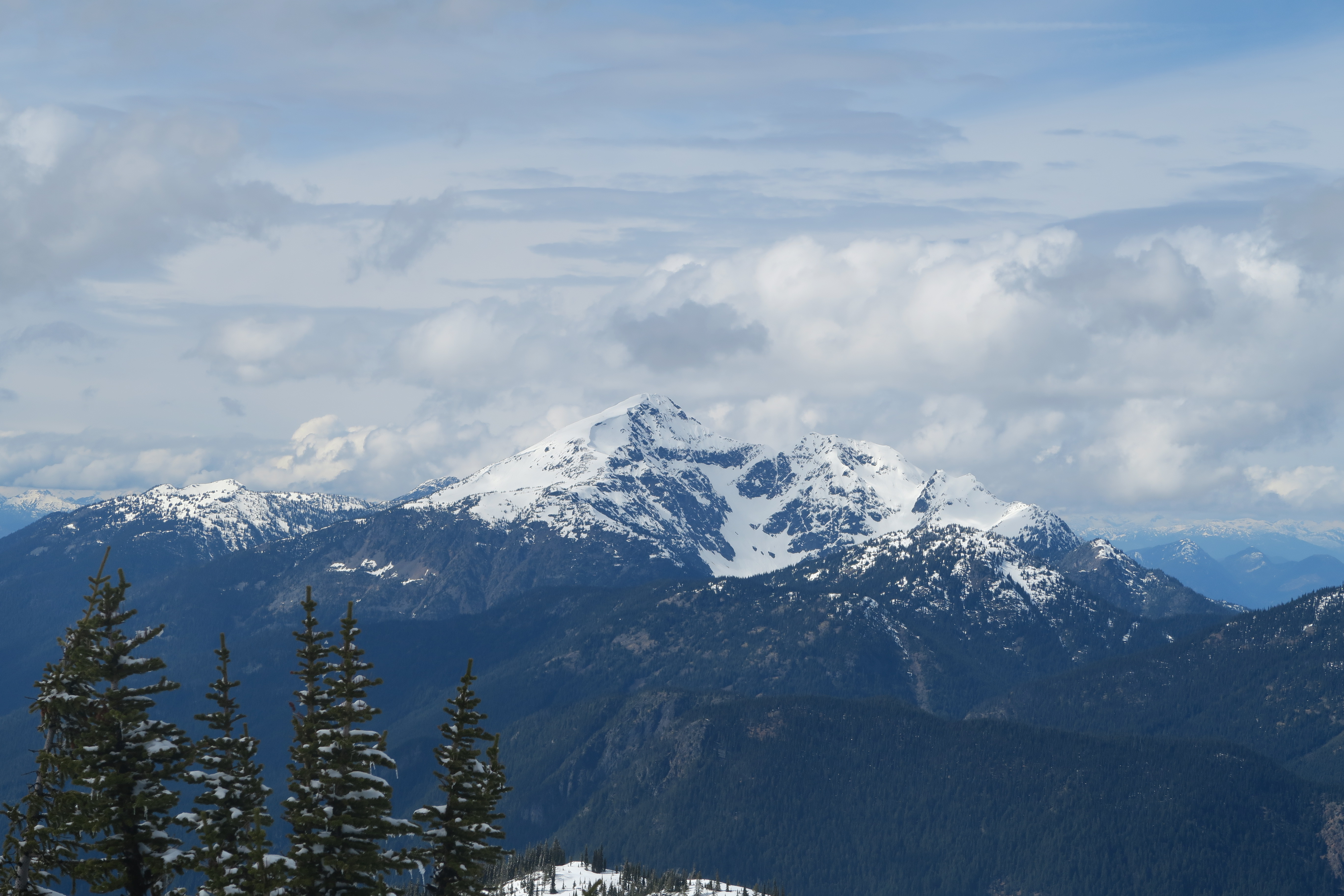
Marmolata
-
-
Well furnished hut
-
-
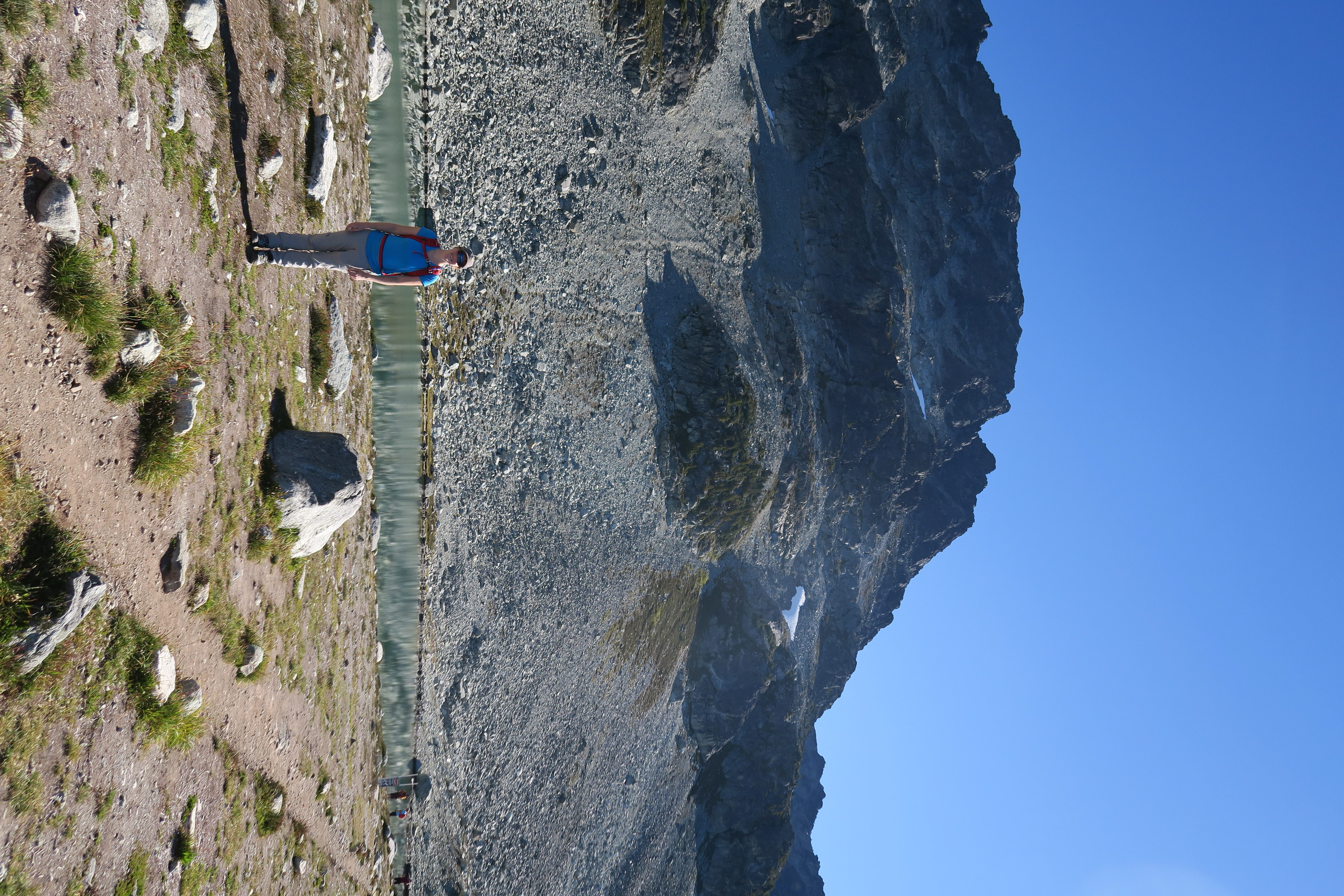
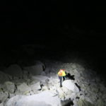
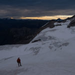
Hiking at 5am
-
-
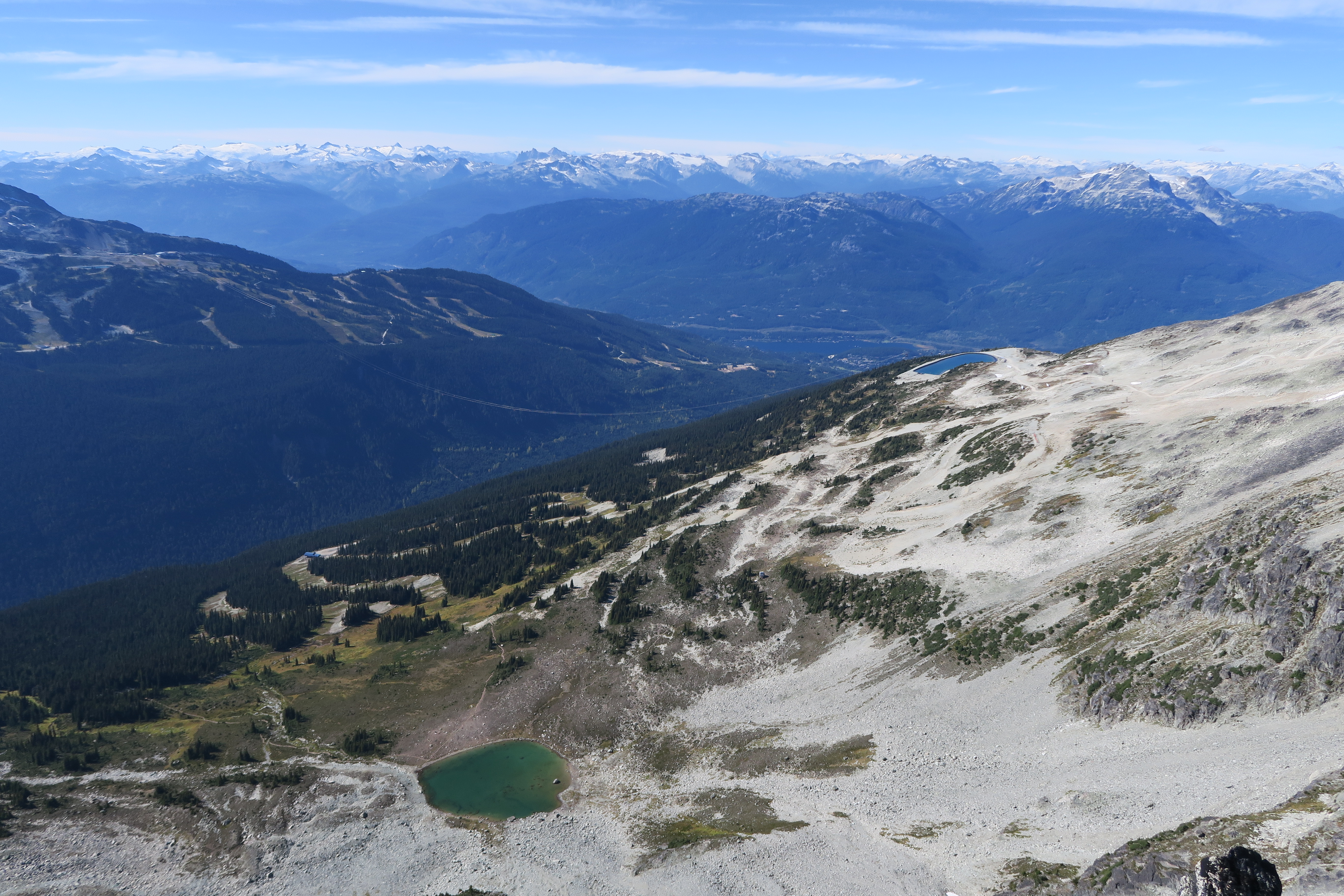
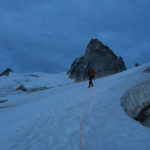
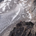
Early glacier travel
-
-
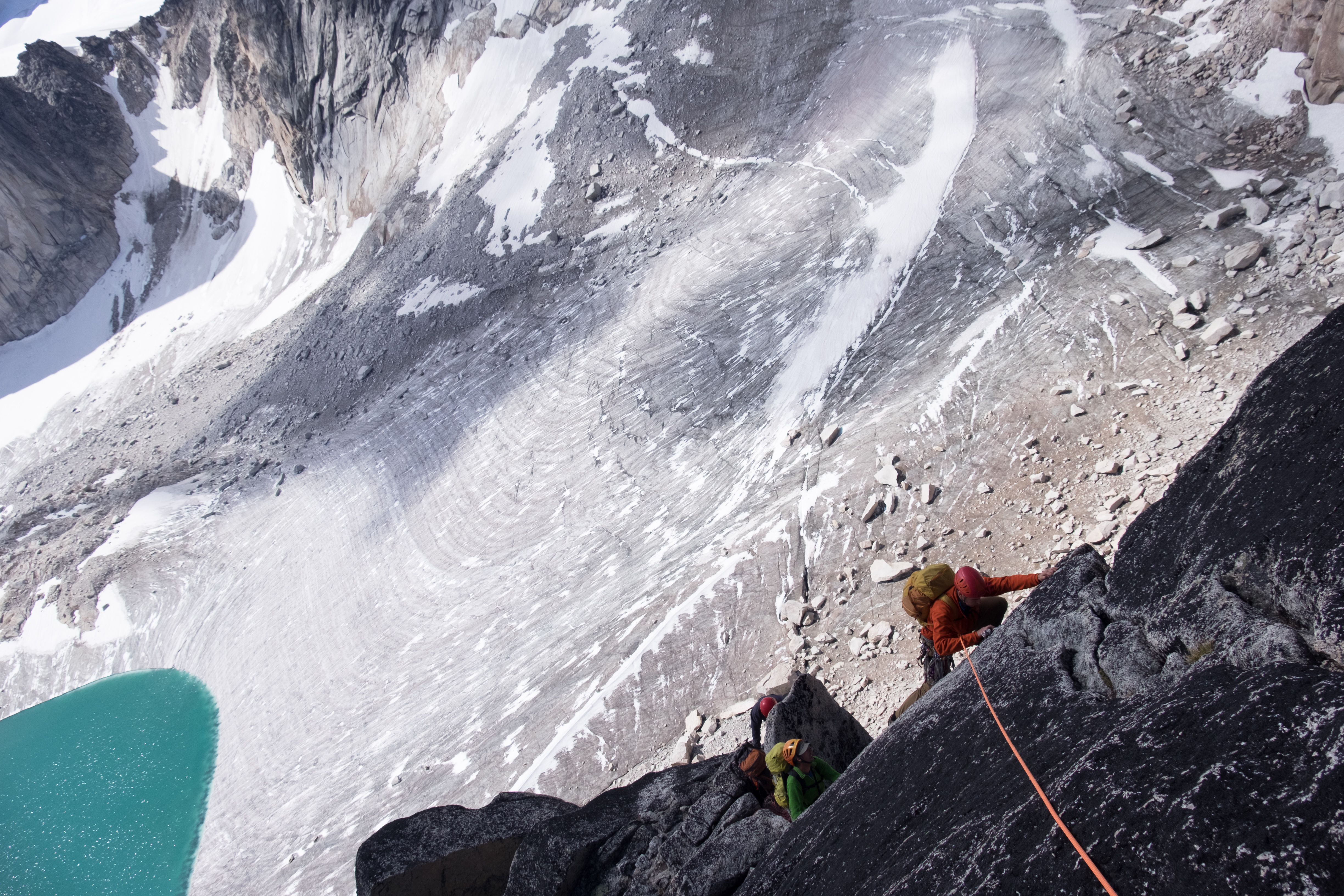
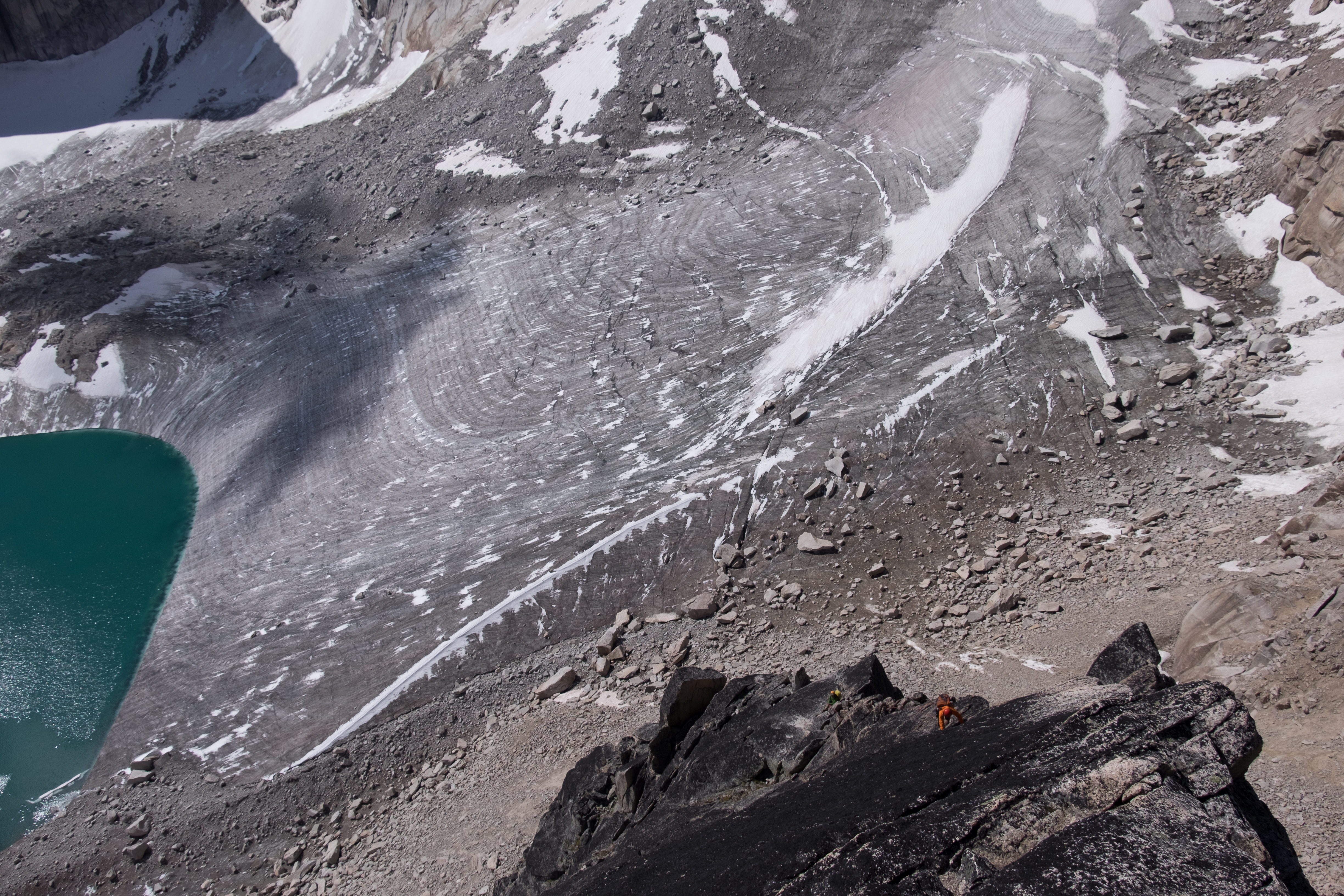
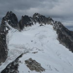
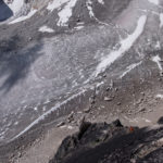
The Pigeon-Snowpatch flats
-
-
Geoff on Bugaboo Glacier
-
-
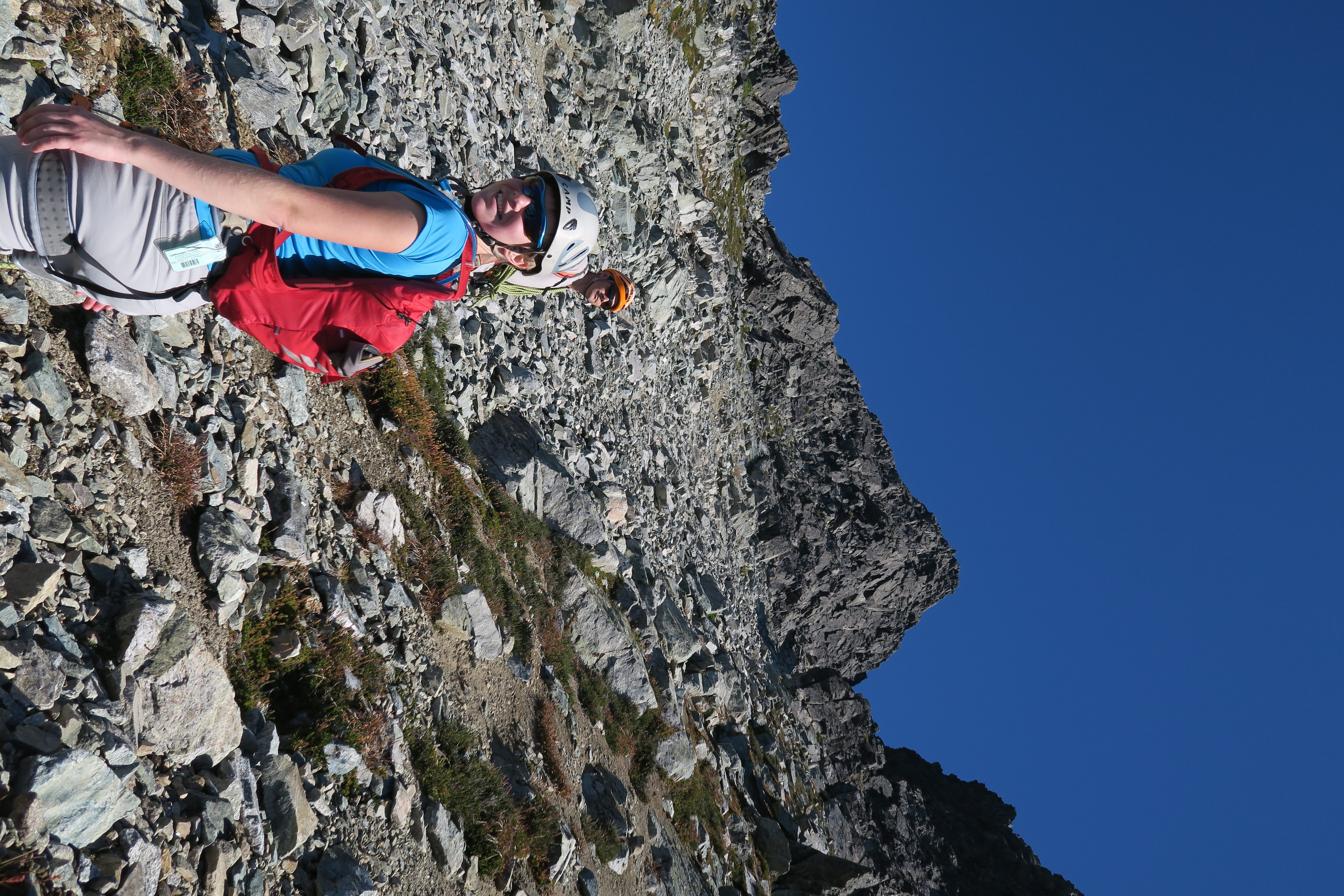
Morning below the West Ridge
-
-
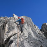
Low on the West Ridge
-
-
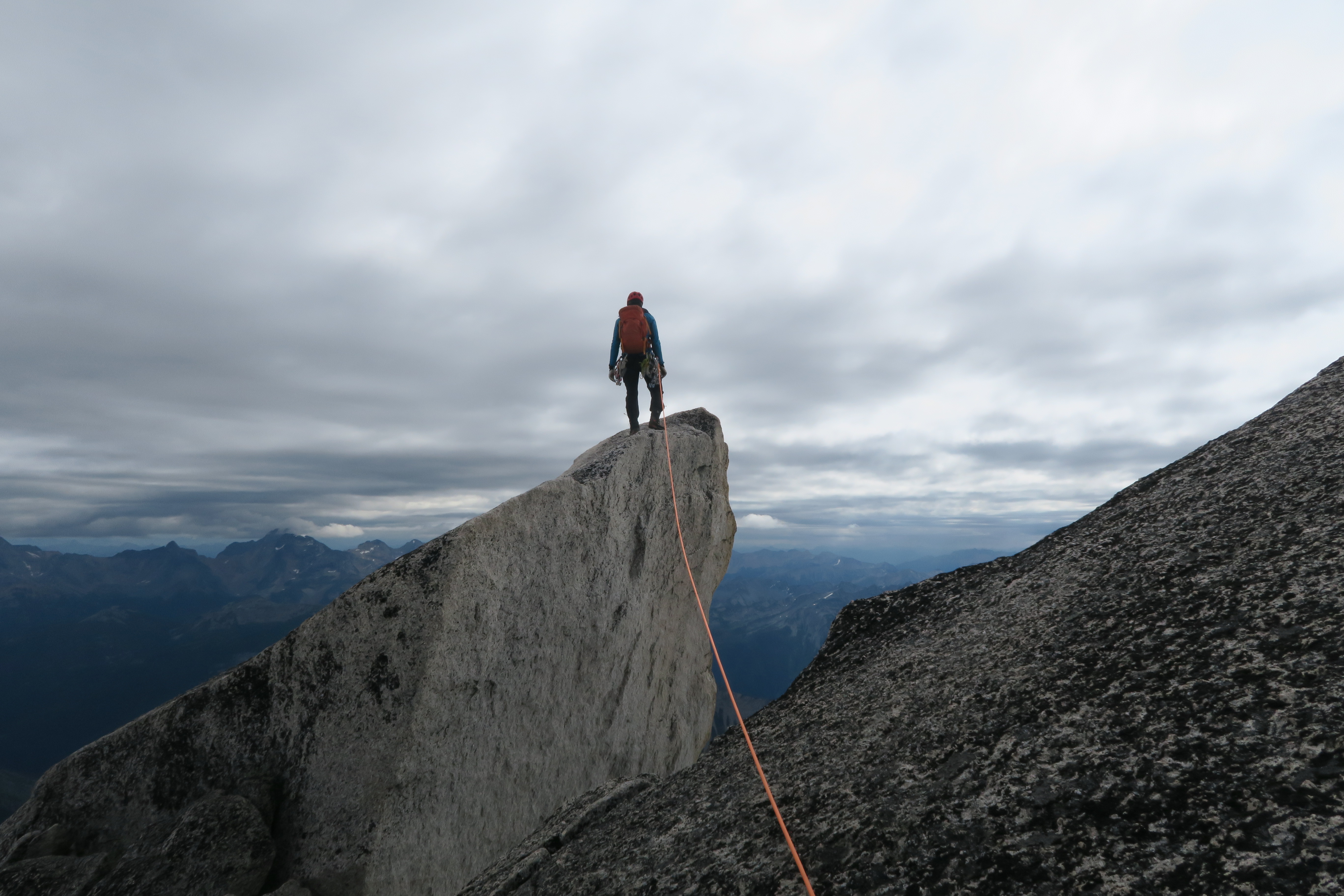
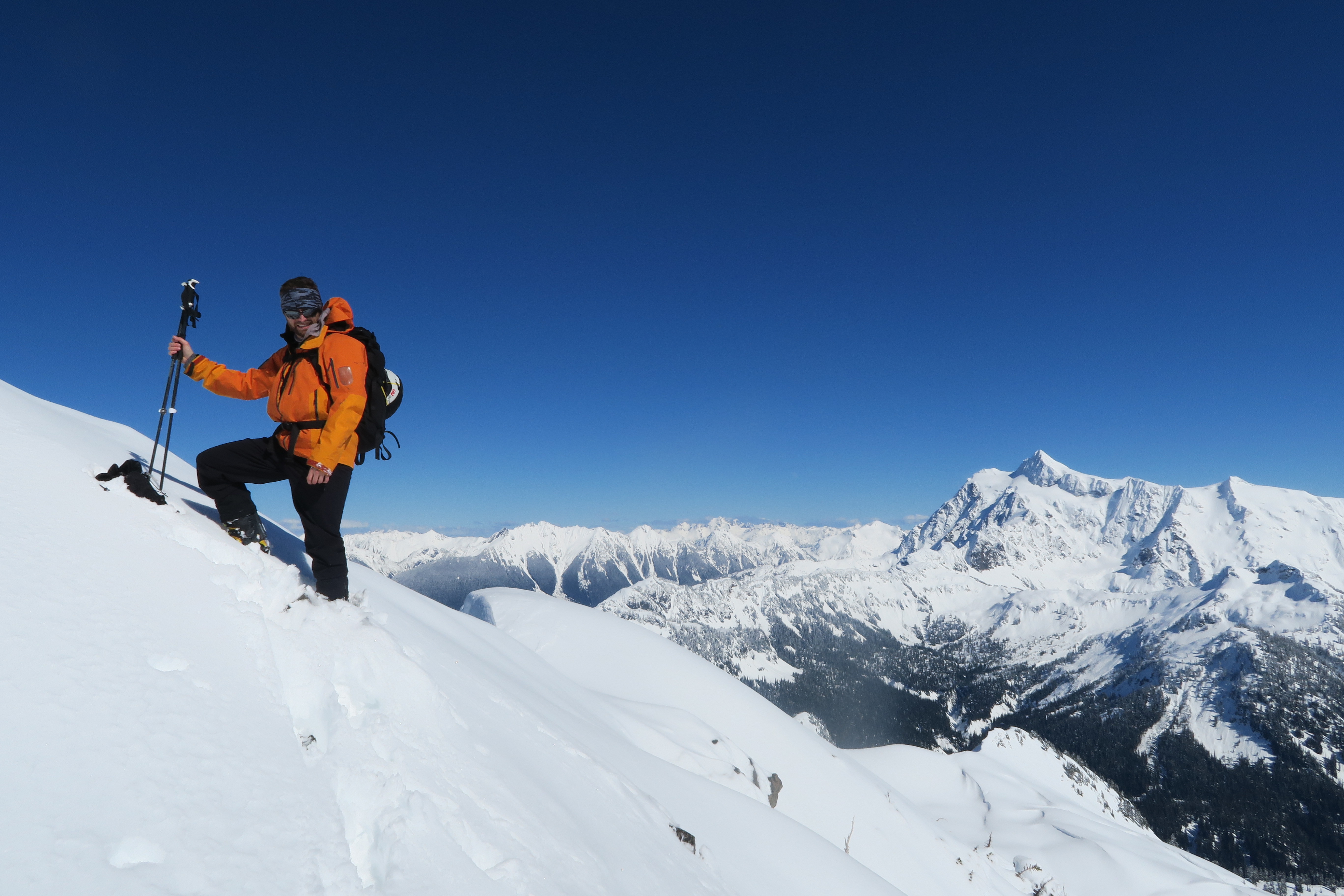
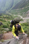
Geoff on Au Cheval
-

-
Approaching first subsummit
-
-
View towards Pigeon summit
-
-
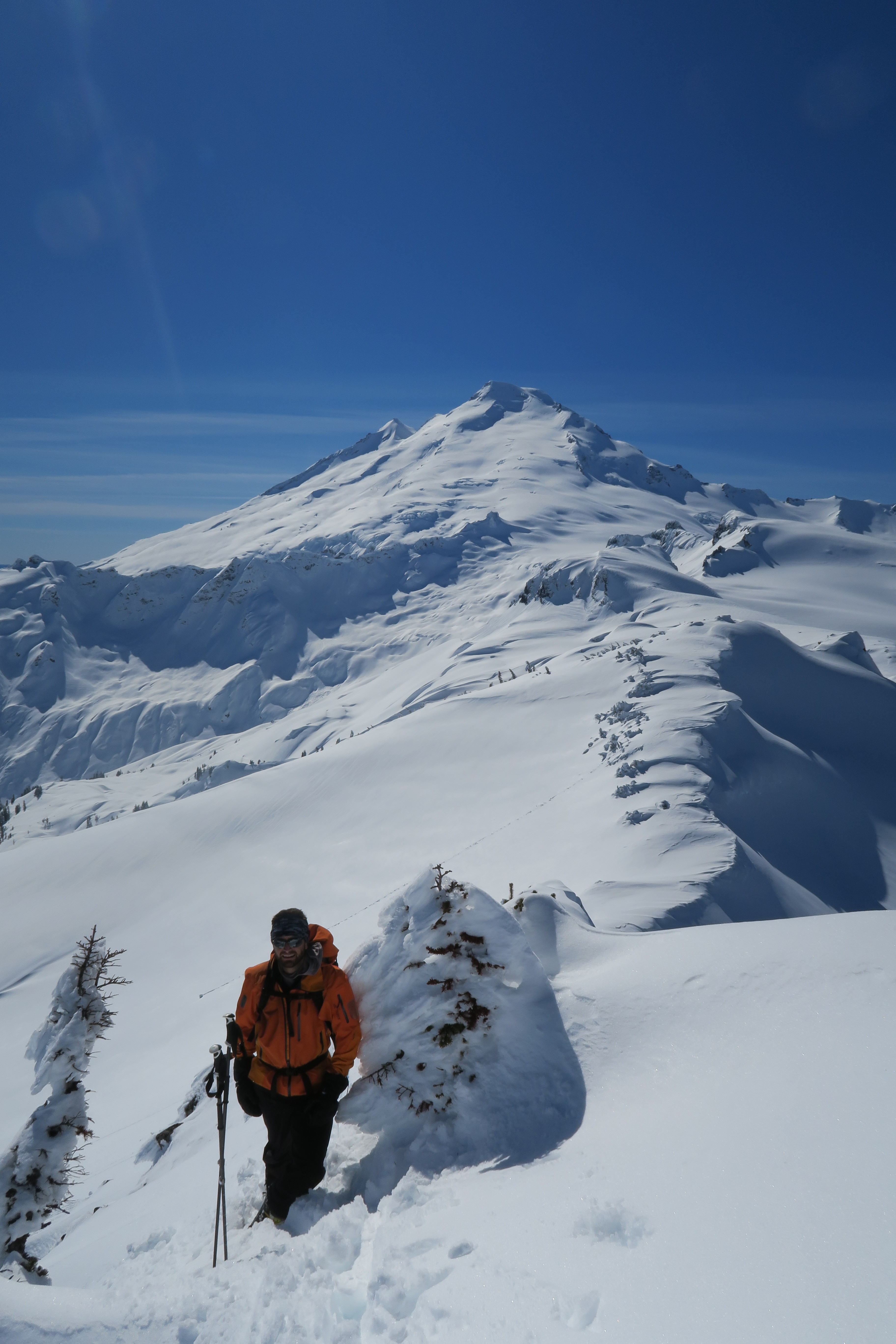
Unnecessary Au Cheval
-
-
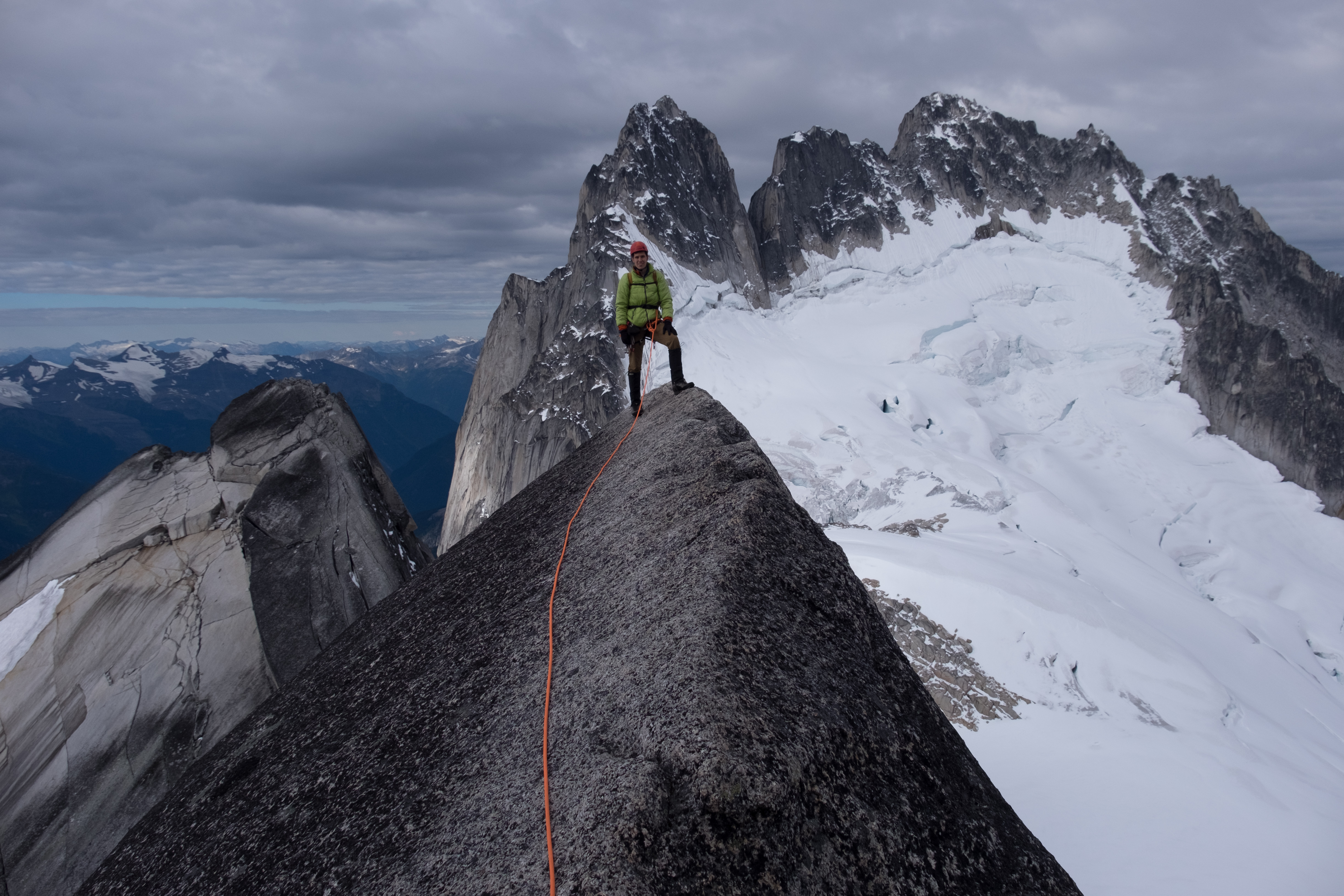
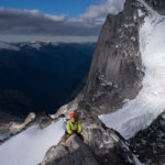
Geoff with Howsers
-
-
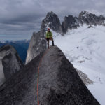
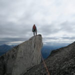
Summit!
-

-
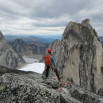
Max and South Howser Tower
-
-
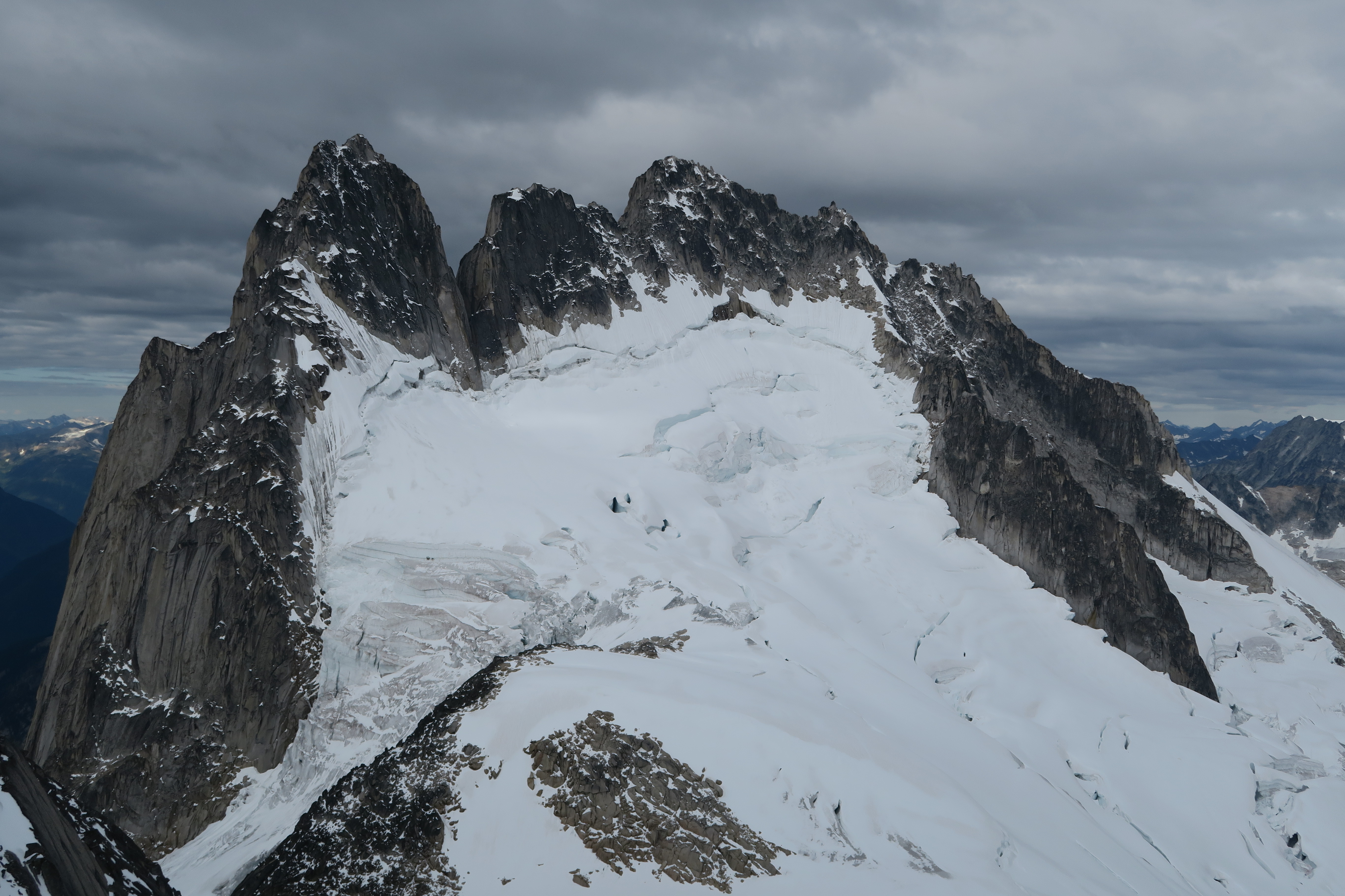
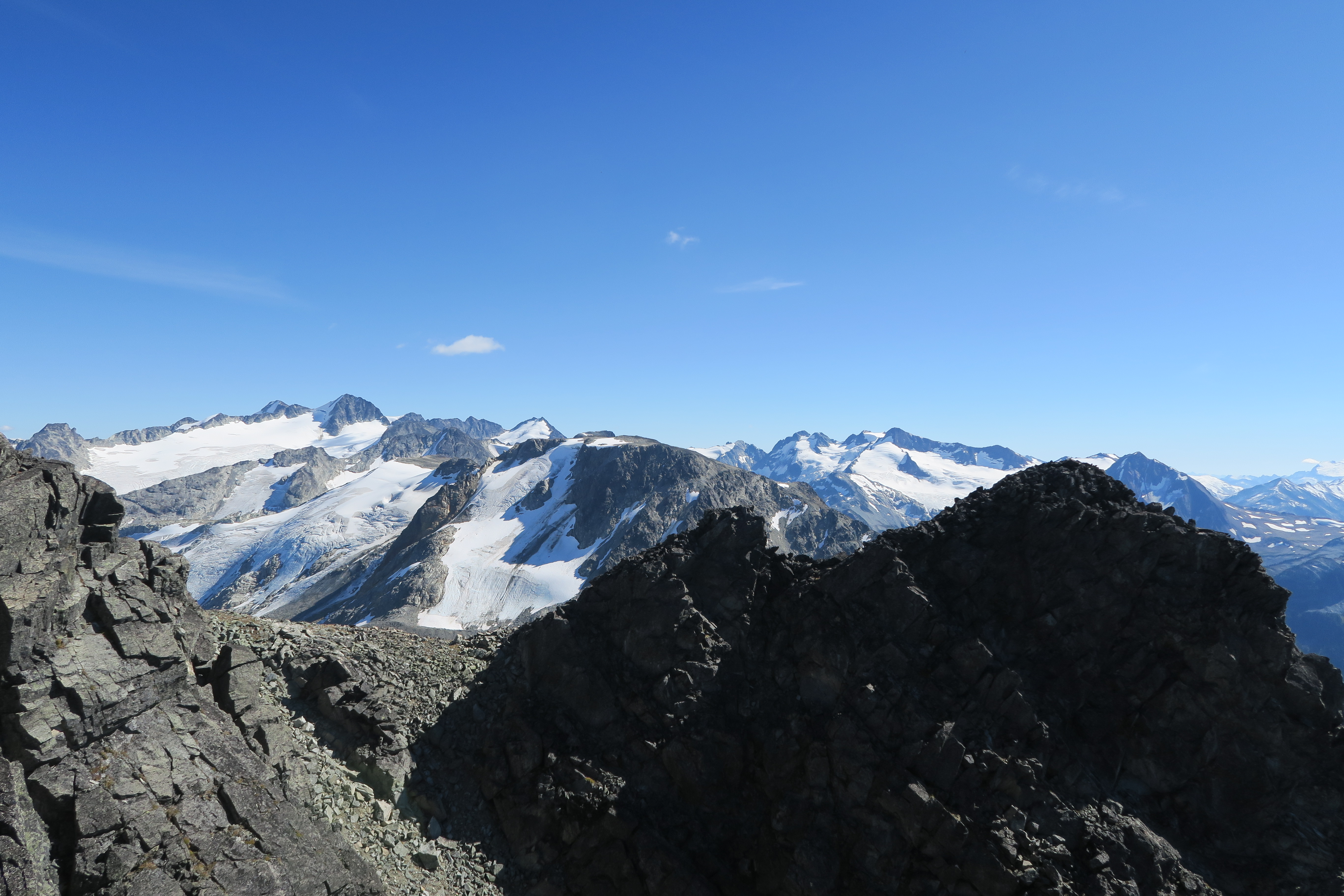
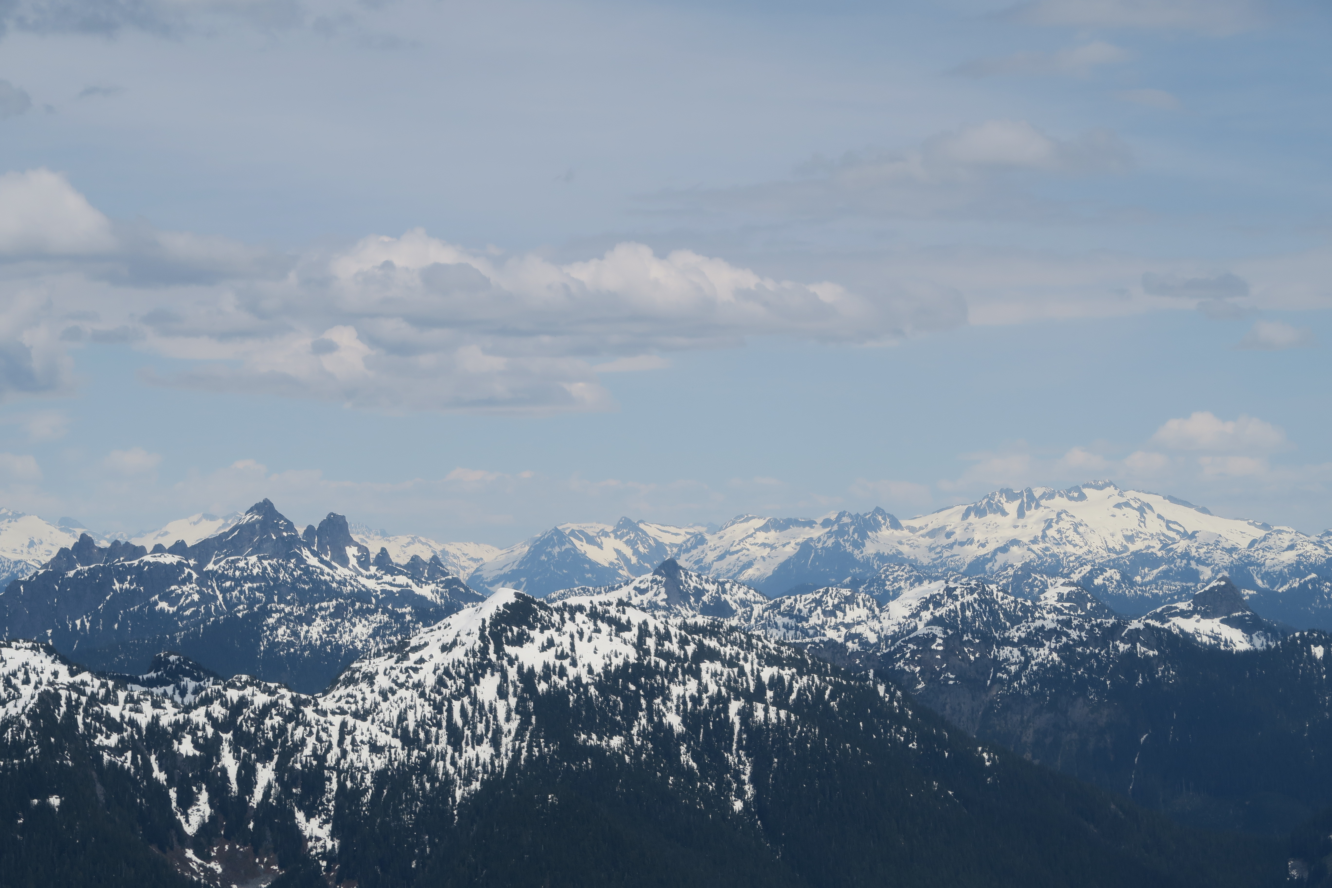
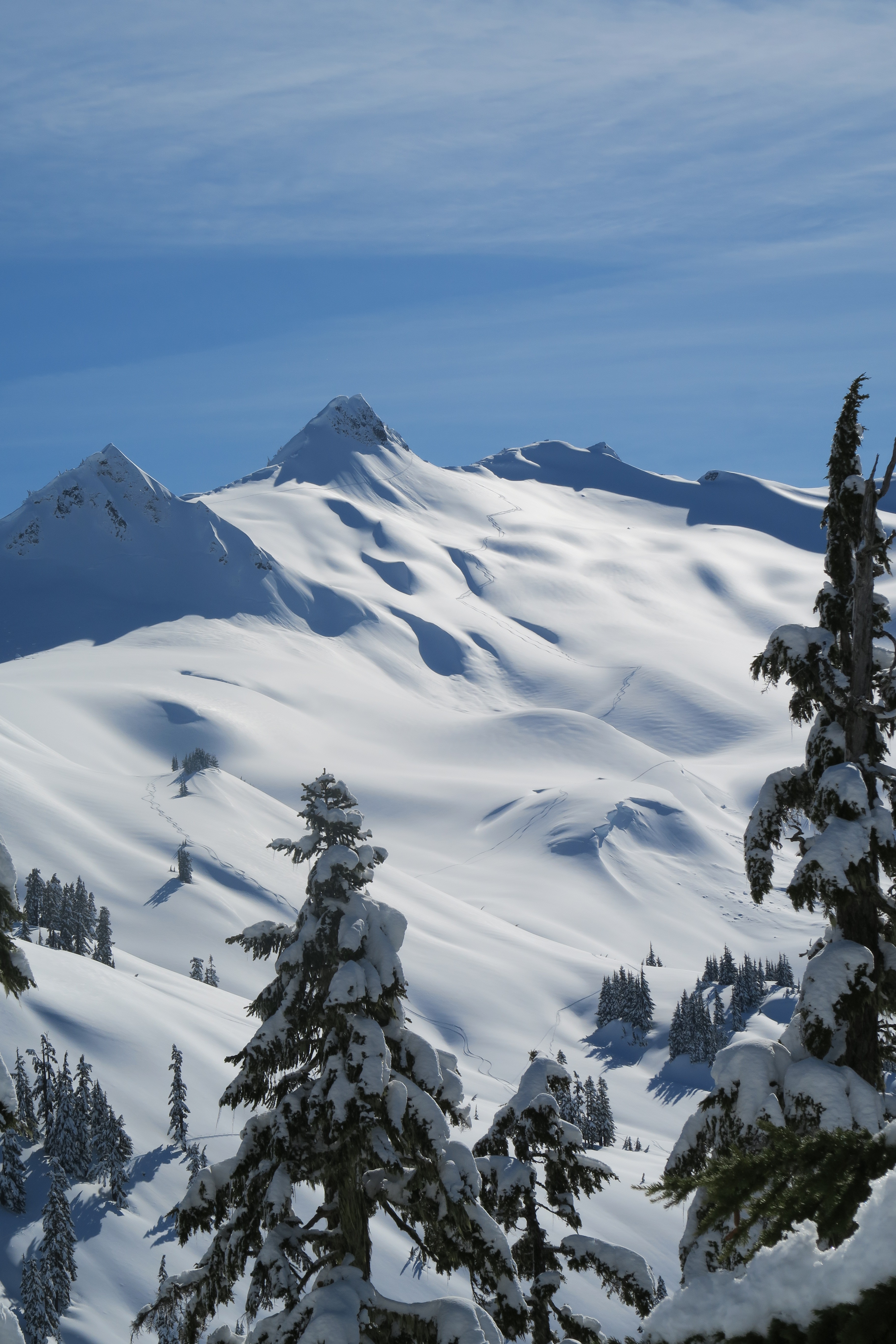
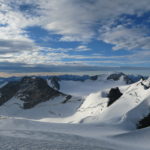
Howser Towers
-

-
Snowpatch Spire
-
-
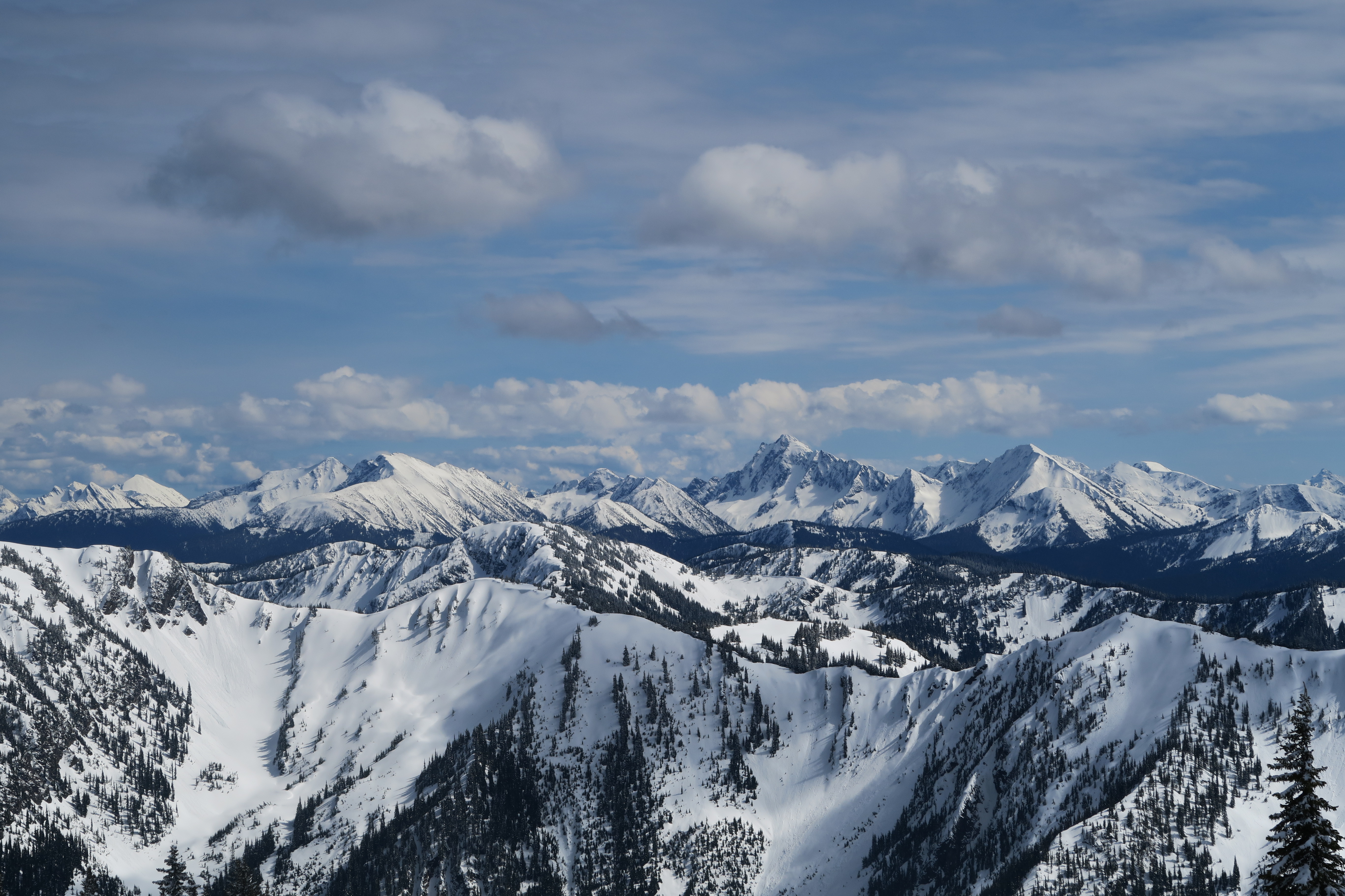
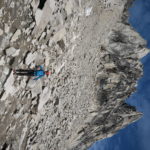
Crescent Towers
-
-
Pigeon through the B-S col
-
-
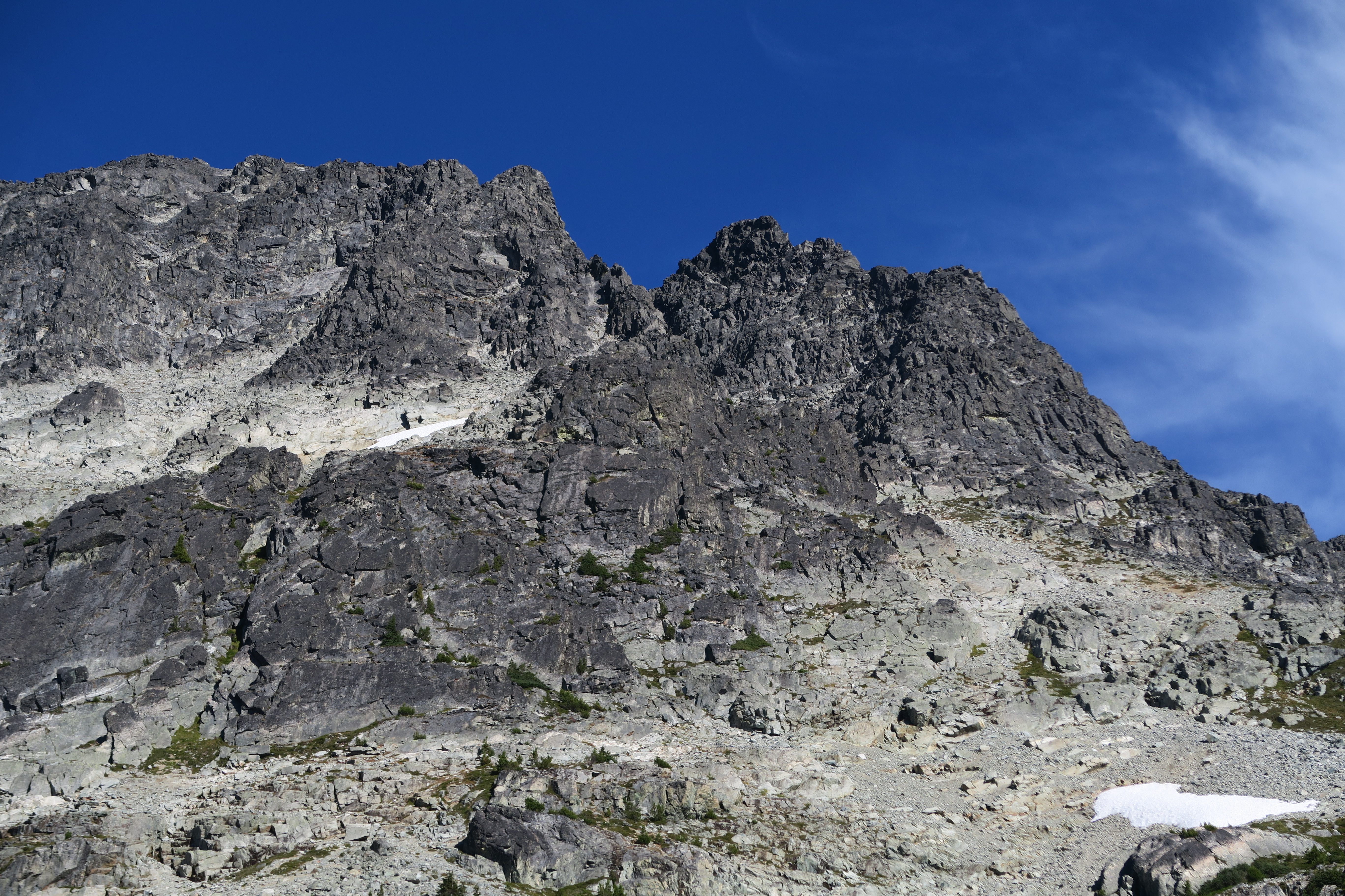
Kain route on Bugaboo
-
-
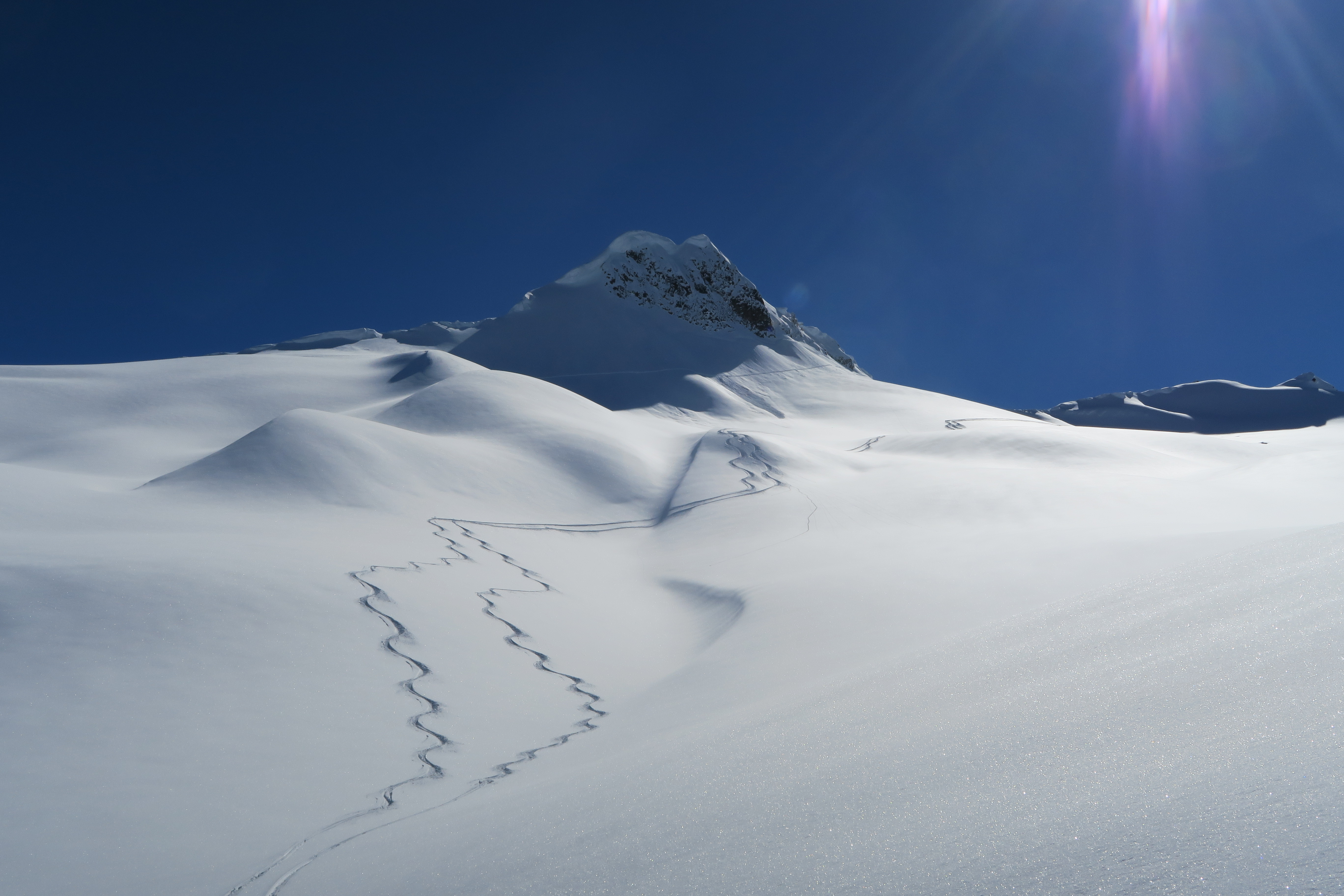
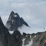
Bugaboo Spire
-
-
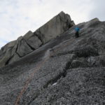
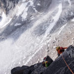
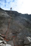
Lion’s Way pitch 2
-
-
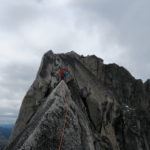
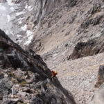
Passing the Bickering Duo
-
-
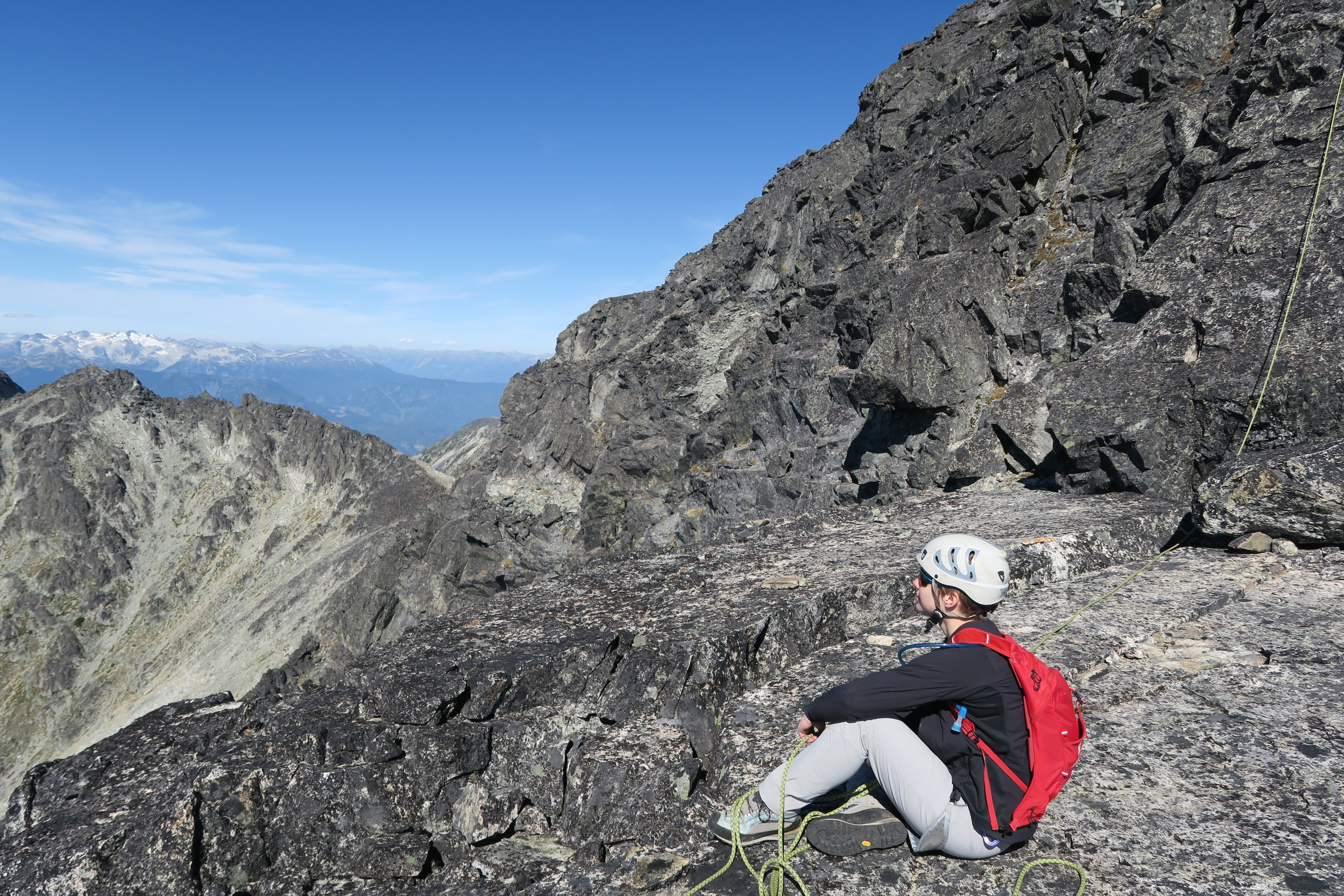
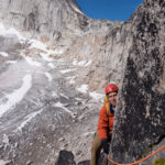
Geoff high on Lion’s Way
-
-
High on Lion’s Way
-
-
Topping out on Lion’s Way
-
-
Final pitch of Lion’s Way
-
-
Rap below central Crescent Tower
-
-
Descending central Crescent tower
-
-
Below Lion’s Way
-
-
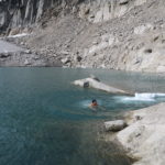
Cold swim
-
-
Extreme Max moves
-

-
Leaving the hut
-
-
Greg descends ladder
-
-
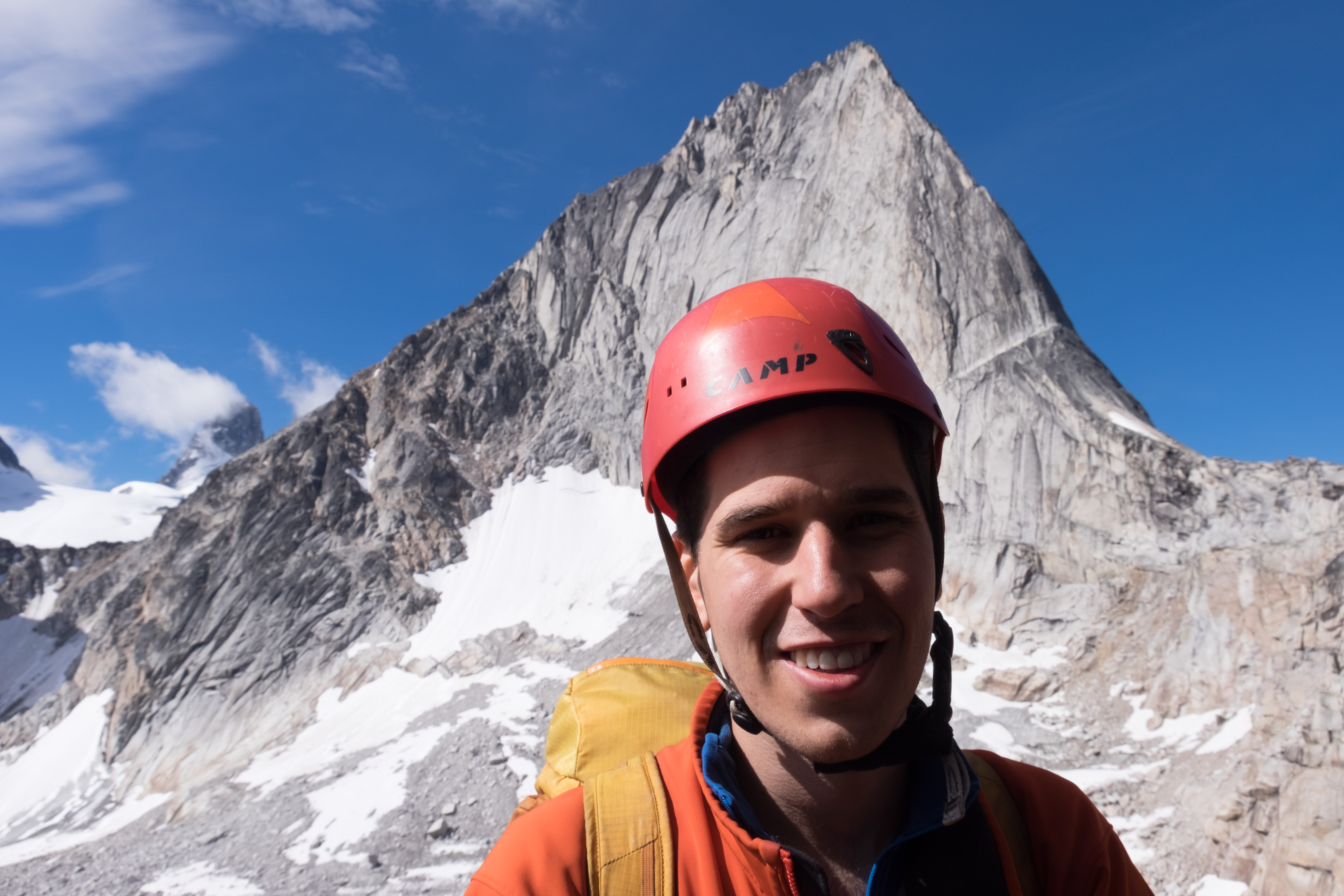
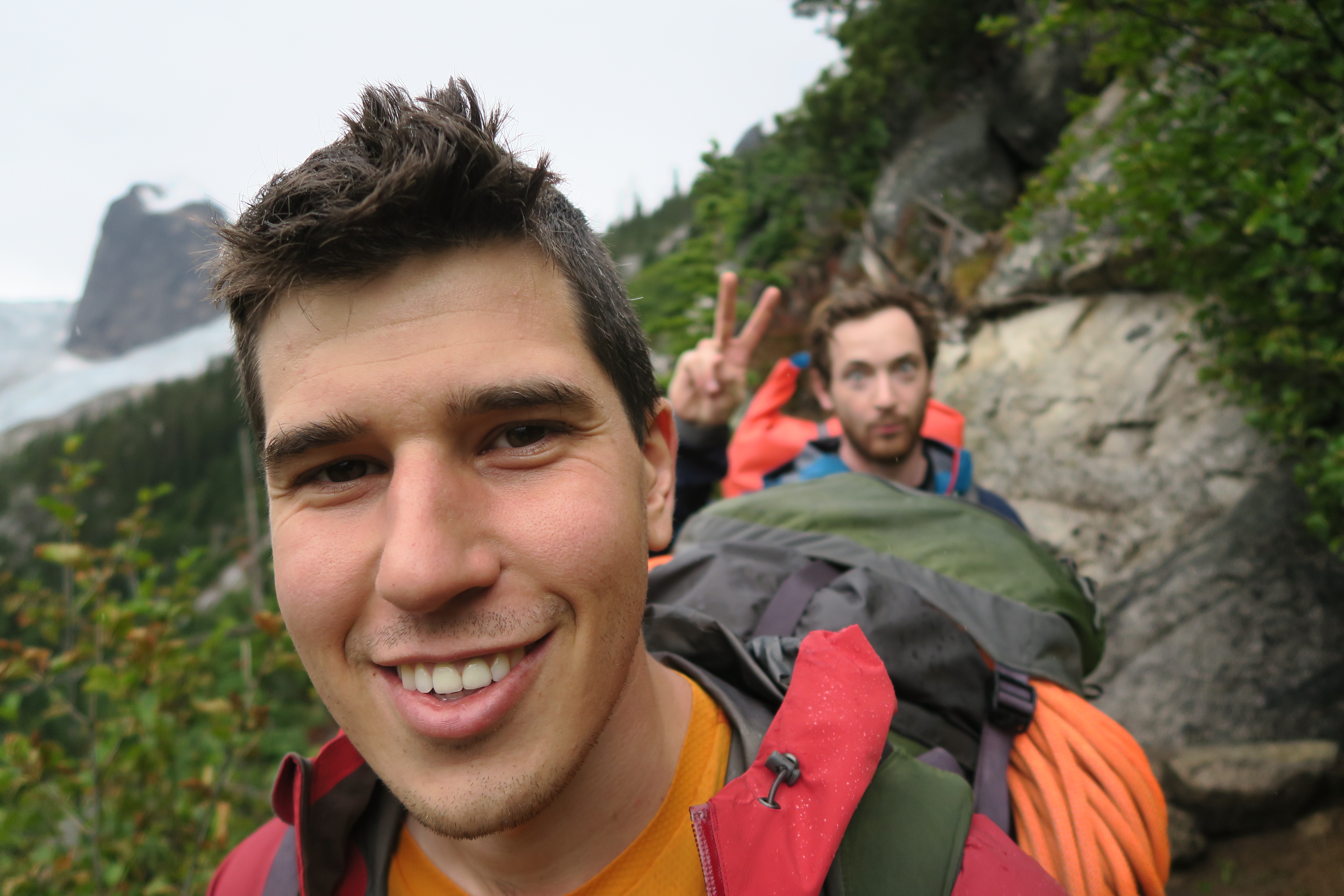
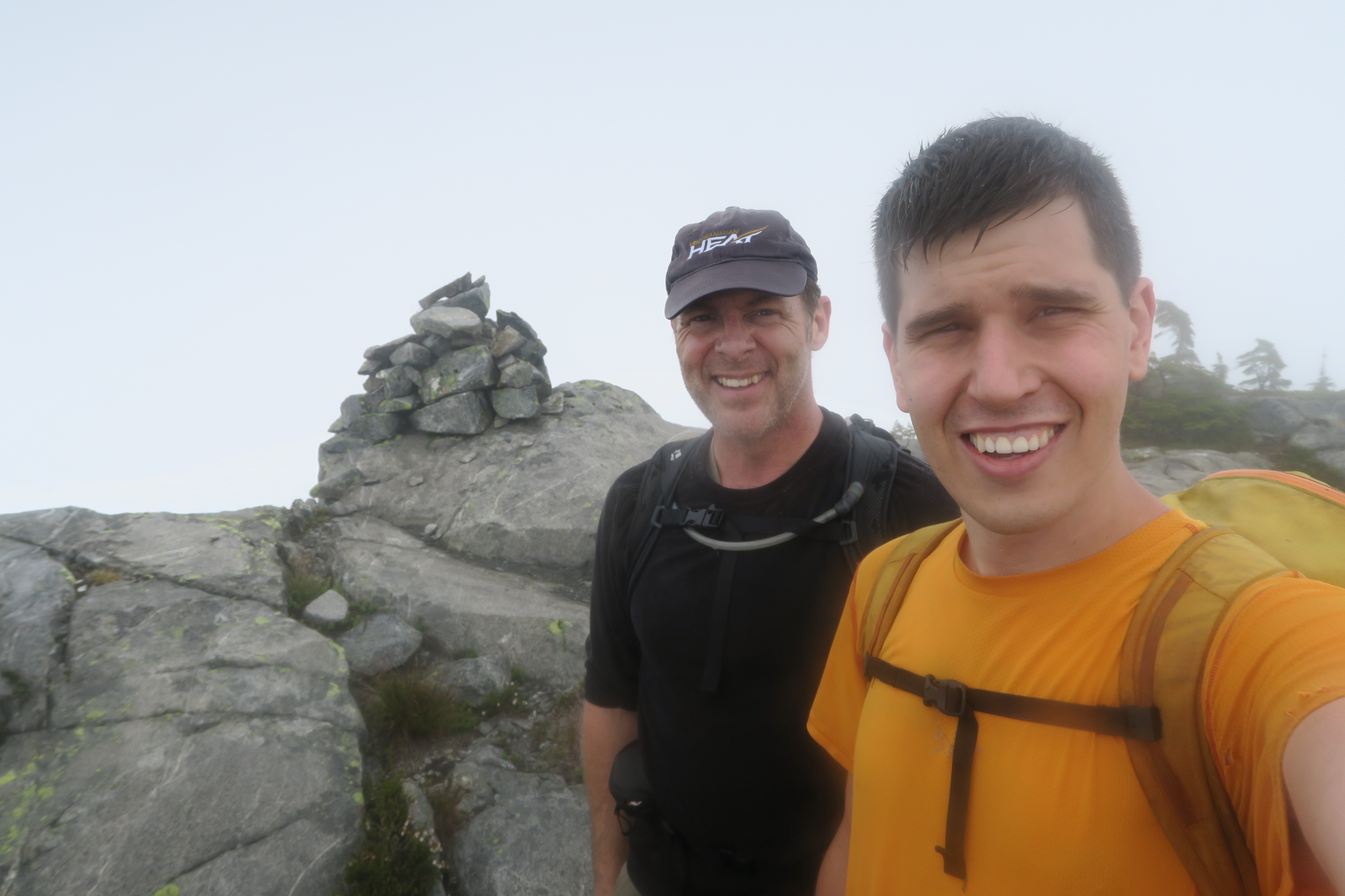
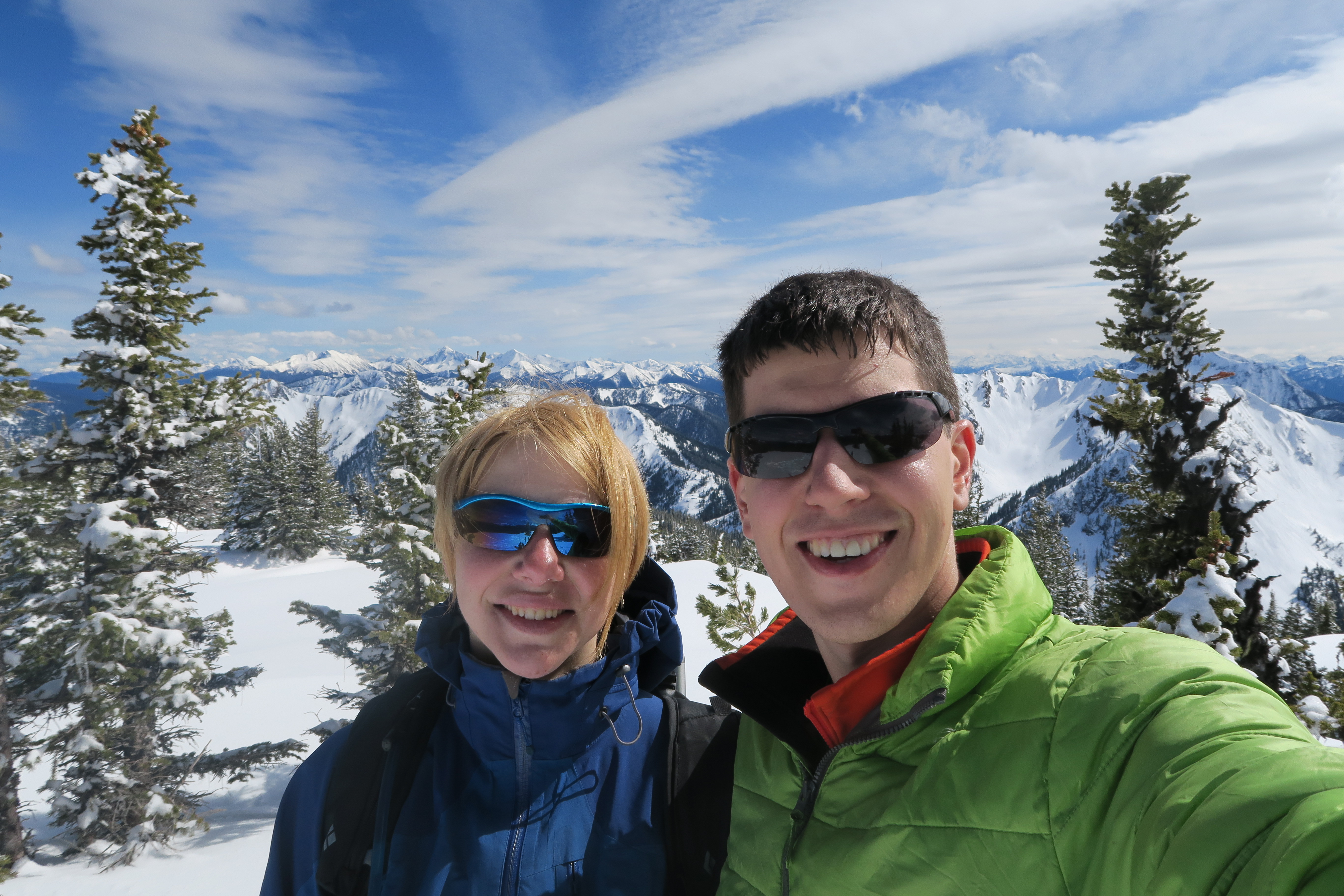
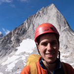
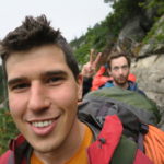
Author shot
-

-
Chess