Date: May 9, 2020
Participants: Brittany Zenger, Geoff Zenger
Difficulty: 2
Report: Travel, work, a surgery, kids, and covid have kept my adventuring to a minimum since last spring, but the stars aligned this weekend to allow for a more significant hike to a novel destination. With a forecast of 100% sun, I browsed through my old copy of 103 hikes to look for the nearest hike that I hadn’t already done and was reminded of Slollicum Peak. Slollicum met my criteria of somewhere that seemed safe, was new, and where I strongly suspected we wouldn’t run into any other people all day.
Slollicum Peak is above the east side of Harrison Lake and features an old Sev Heiberg trail up to its summit. My dad and a friend had done the trail perhaps 10 years ago and told me about an overgrown logging road and rough route up to the summit, so I was expecting to find an overgrown trail in poor condition up to snow line and then to wander via our own route up to the summit. What I was surprised to discover was that the logging road sections of trail were completely clear and the trail itself is in tip-top shape and incredibly well marked.
The first crux of the trip was finding the trailhead. Recent logging in the area has added a couple of junctions to the road. To find the trailhead, turn off of Harrison East FSR at 4.8km onto Slollicum FSR, then turn left at the first junction (~200-300m up the road), ignore the minor branch at the first switchback, and then turn left at the next junction. We parked at a clearing just before a steep section of road with a deep waterbar halfway up it, 300-400m before the end of the road (49°23’1.44″N, 121°44’20.01″W)
Leaving the car at 9am sharp, we walked up the spur right to the end where we found no trail. Consulting our GPS, we realized that the actual trailhead was a couple hundred metres back, about halfway between where we parked and the end of the road. In short, keep your eyes out when walking up this road. The trailhead itself is very well flagged, but easy to miss (49°23’12.37″N, 121°44’21.59″W)
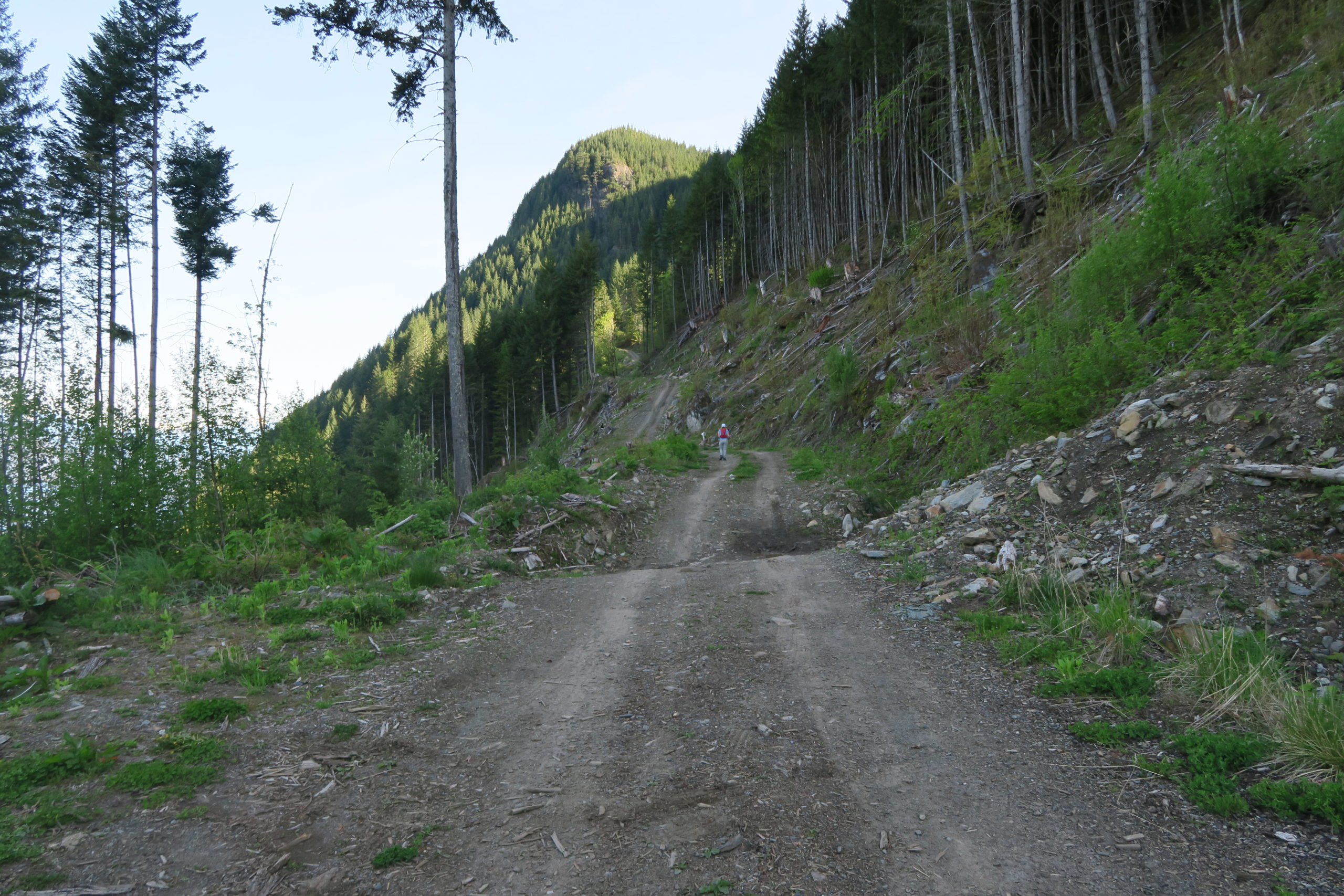
The trail found, we started up the trail proper at 9:12 am, and followed it through the easy boulder field and forest up to the logging road above. I wonder if its possible to drive onto this upper spur, but given the lack of tire tracks the odds seem against its possibility. After 40 minutes or so up the logging road, we reached the trail proper at about 10:20am (very obvious) and set off up through the forest.
The trail is easy to follow and in great shape, and we followed it up between two creeks until we hit continuous snow at around 1050m. At this point I had thought we’d just have to find our own way, but the route is extremely well marked with fairly new markers and except for a few places where I had to hunt around to find the next marker (oddly there are far more markers visible heading downhill than uphill) we had an easy time following the route up to about 1450m.
The second crux of the trip (other than finding the trailhead) was figuring out the route after the creek crossing around 1150-1200m. After ascending a broad open ridge, the route drops down to a creek and ascends steeply up the far slope. The first few markers were easy to see, but to us it was not obvious at first that the trail traverses the fairly steep slope hard to climber’s left for ~50-100m to reach a short ramp leading once again to easier and well marked terrain.
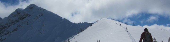
Somewhere around 1450m we entered fairly open terrain and lost sight of the trail, but from here we were able to follow obvious open slopes leading up to the ridge just south of the summit. From reaching the ridgeline it was less than 5 minutes of hiking along the open ridge to reach the summit. There is some debate about which summit is the true summit, but my GPS topo map shows the southern summit being a few metres higher than the northern one, and so just past 1:15pm we elected to declare success at the first summit we reached. Total ascent time from car: 4 hours 15 minutes.
The views from the summit were simply spectacular. From the summit there are uninterrupted views of the Old Settler, Mt. Urquart, the Cheam range, the Chehalis groups, Mt. Breakenridge, Mt. Baker. Furthermore, the Coquihalla peaks and many peaks in Manning Park were easily identifiable in the distance.
After eating our lunch and enjoying the views, we started our descent at about 1:40pm, and given the snow were able to make great time, crossing the creek at 2:25pm and arriving back at the upper logging road at about 3:05pm. By this point the heat was becoming quite oppressive but we trudged down the road until we found the trail leading down to the car. Walking down this trail we were reminded that we were in the Fraser Valley by the constant cracks of rifle fire. Luckily neither ourselves nor our vehicle were the object of their shooting practice, and we arrived back at the car a few minutes before 4pm where we enjoyed a cold drink in the blistering sun. Total descent time: 2 hours 15 minutes.
To conclude, this trip greatly exceeded my expectations. I wouldn’t choose to do it in the height of summer when there are better opportunities for alpine meadows and scrambling, but for this time of year this was a great choice. The access was easy, the trail was in good condition, and as predicted we never encountered another person, rendering social distancing trivial.
View from Parking 
Coming Back to Trailhead 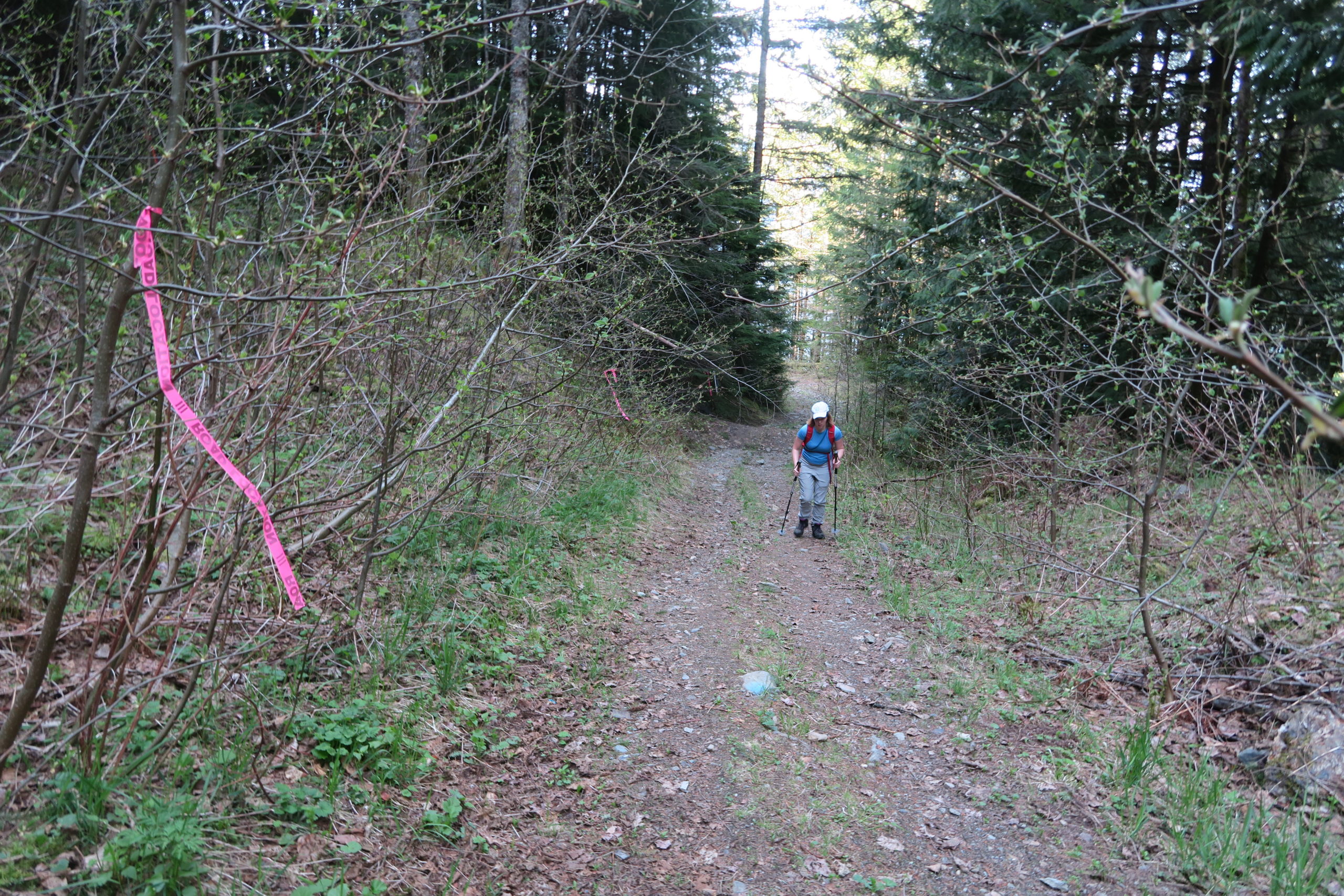
Logging Road 
Logging Road Trailhead 
Nice Trail in Trees 
Well Marked Slopes 
Creek Crossing 
Ascending Open Slopes 
Old Settler 
Mt. Urquart 
Robie Reid & The Judge 
Other Slollicum Peak 
Cheam Range 
Reaching Summit! 
Summit Selfie 
Creek Crossing 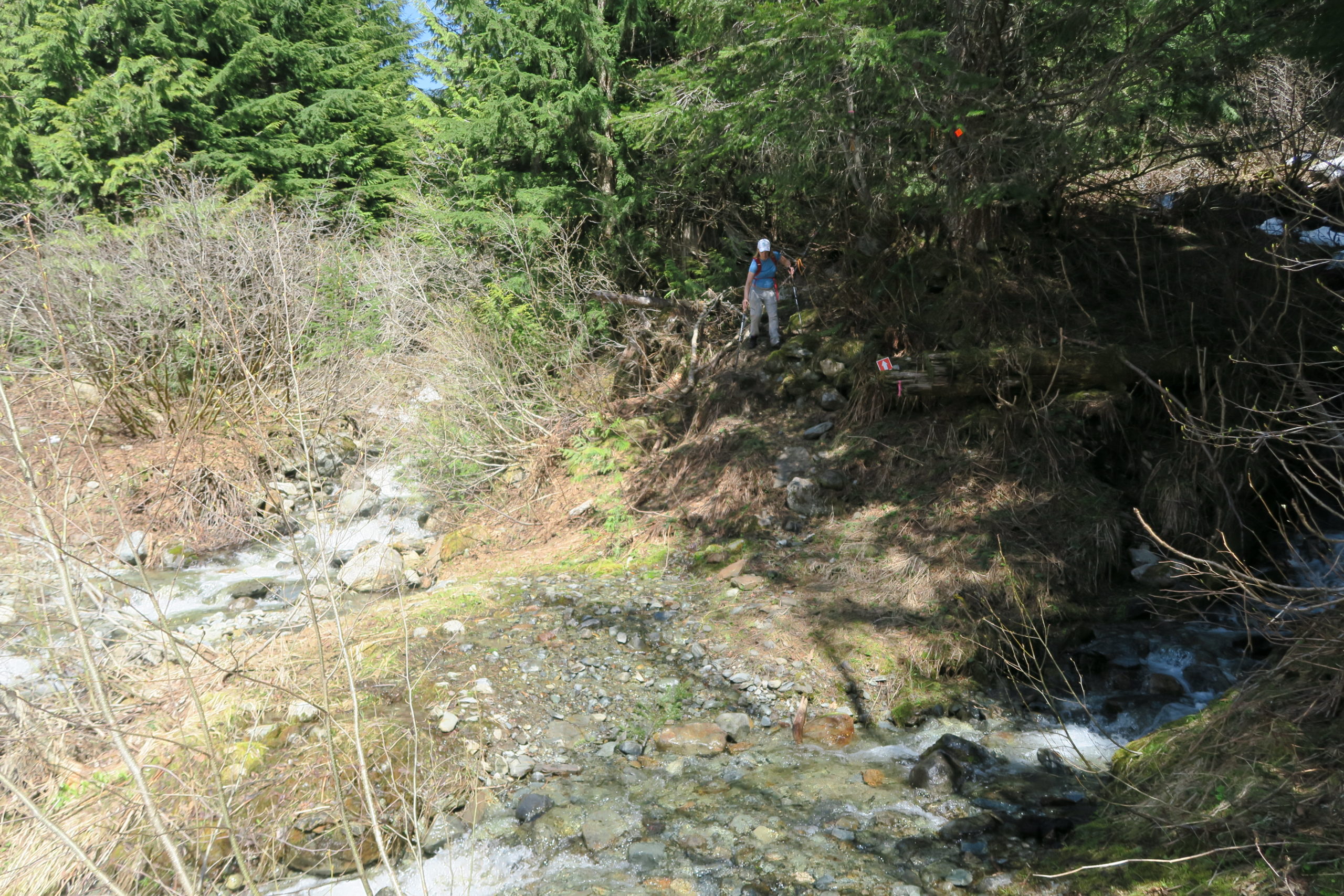
Reaching Logging Road 
Harrison View
No comments
Comments feed for this article
Trackback link: http://www.geoffzenger.com/slollicum-peak/trackback