Trip Date: April 5-7, 2012
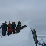
Participants: Brittany Zenger, Ed Zenger, Geoff Zenger
Difficulty: 2
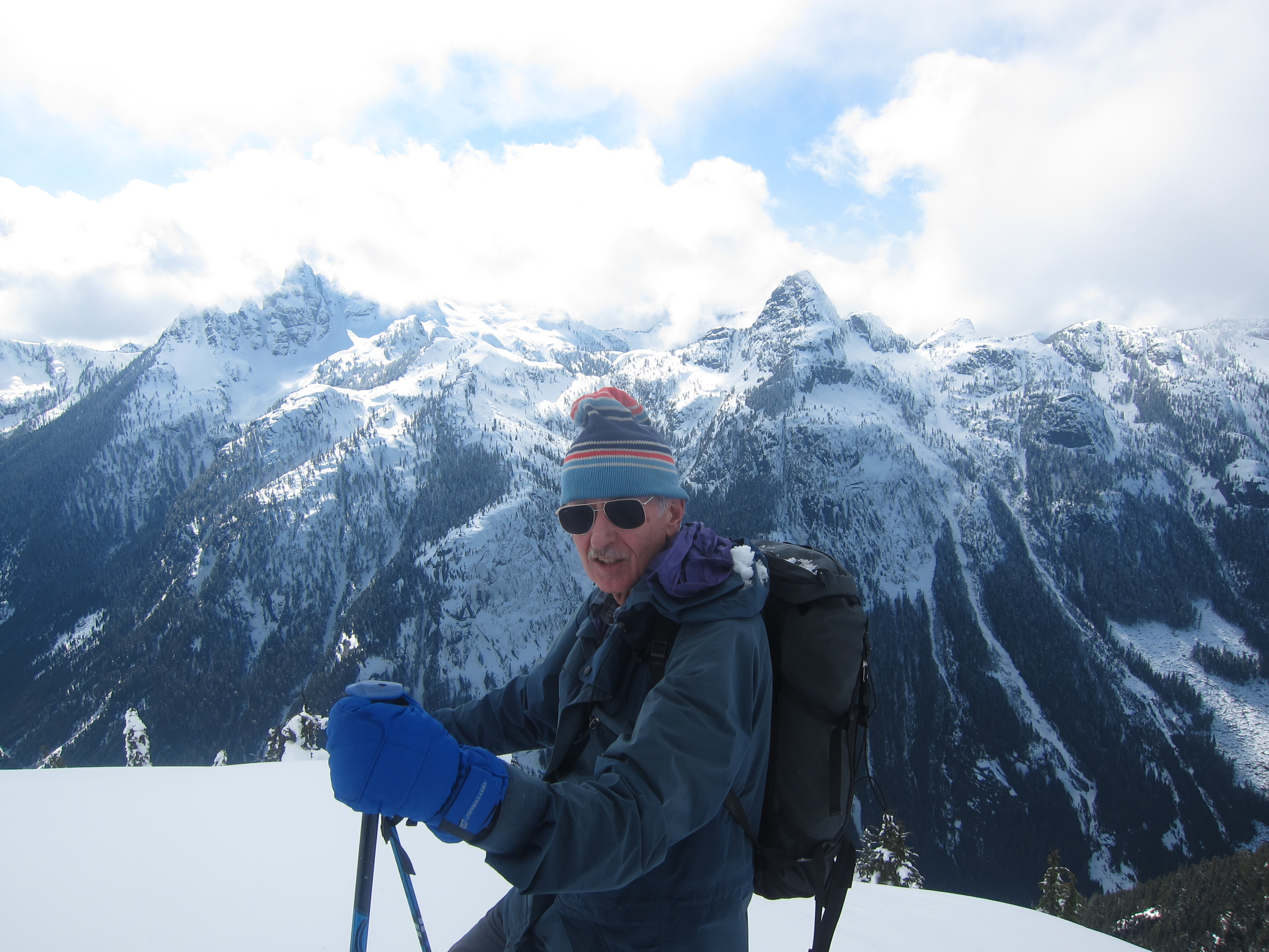
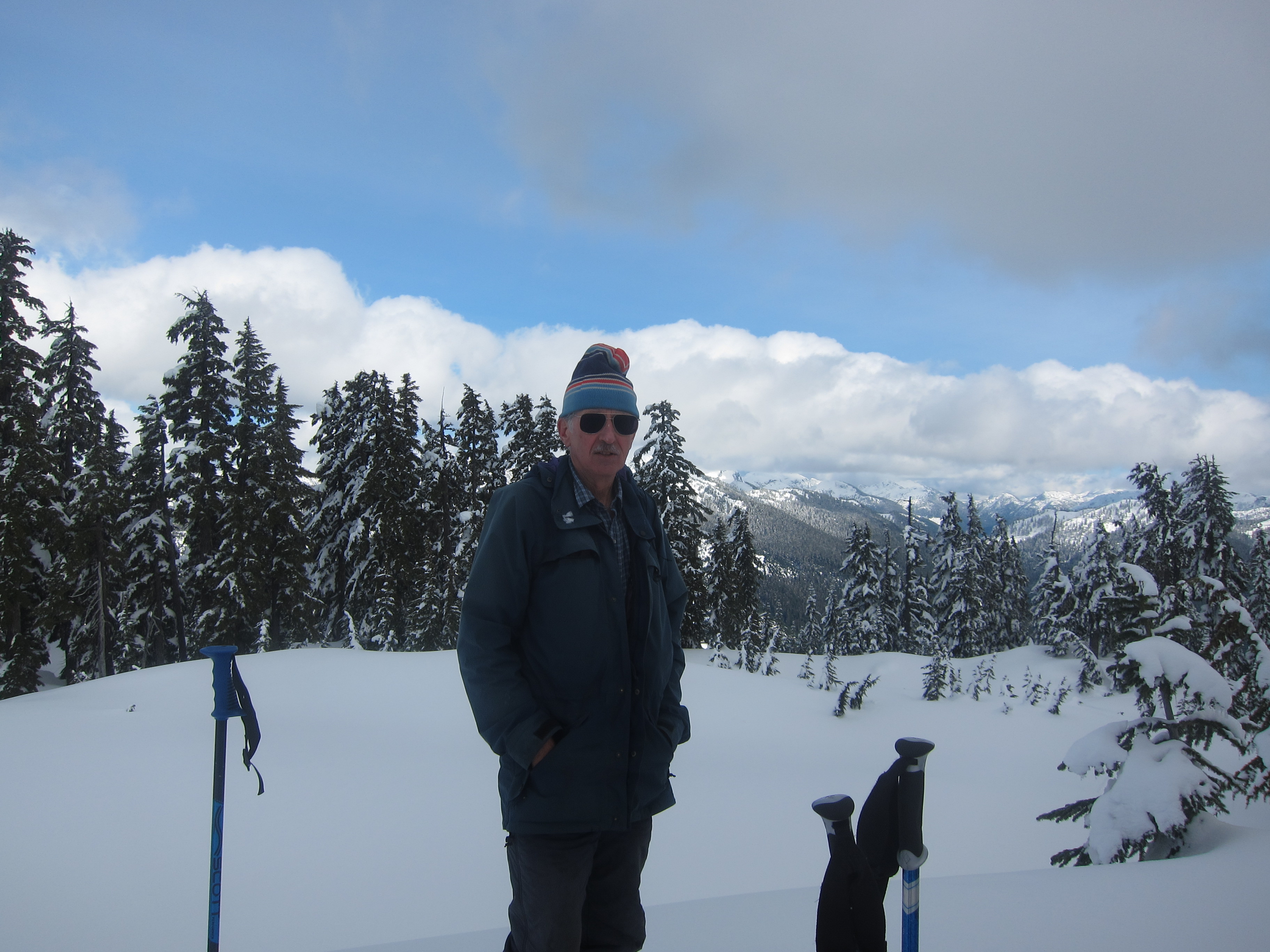
After a couple years of ideas and cancellations, the weather and conditions aligned with our free time, and Brittany and I finally completed the classic Garibaldi Neve traverse from the Diamond Head parking lot to Rubble Creek. As we only started making plans a couple days before the weekend, we had some difficulty in finding someone else with a vehicle to come with us, but in the end my dad decided he’d come with us as he had last done the traverse around 35 years previously.
We had family obligations on Easter Sunday and consequently did the traverse from Thursday evening to Saturday, and in retrospect I’m glad we were forced to this schedule. We were the only party to cross the neve on the Friday (more on this later), but from other reports it seems that 40+ people followed in our track on the Saturday, and although the traverse would be great with any number of others around, it was that much more special to have nobody else around for much of the trip.
Thursday
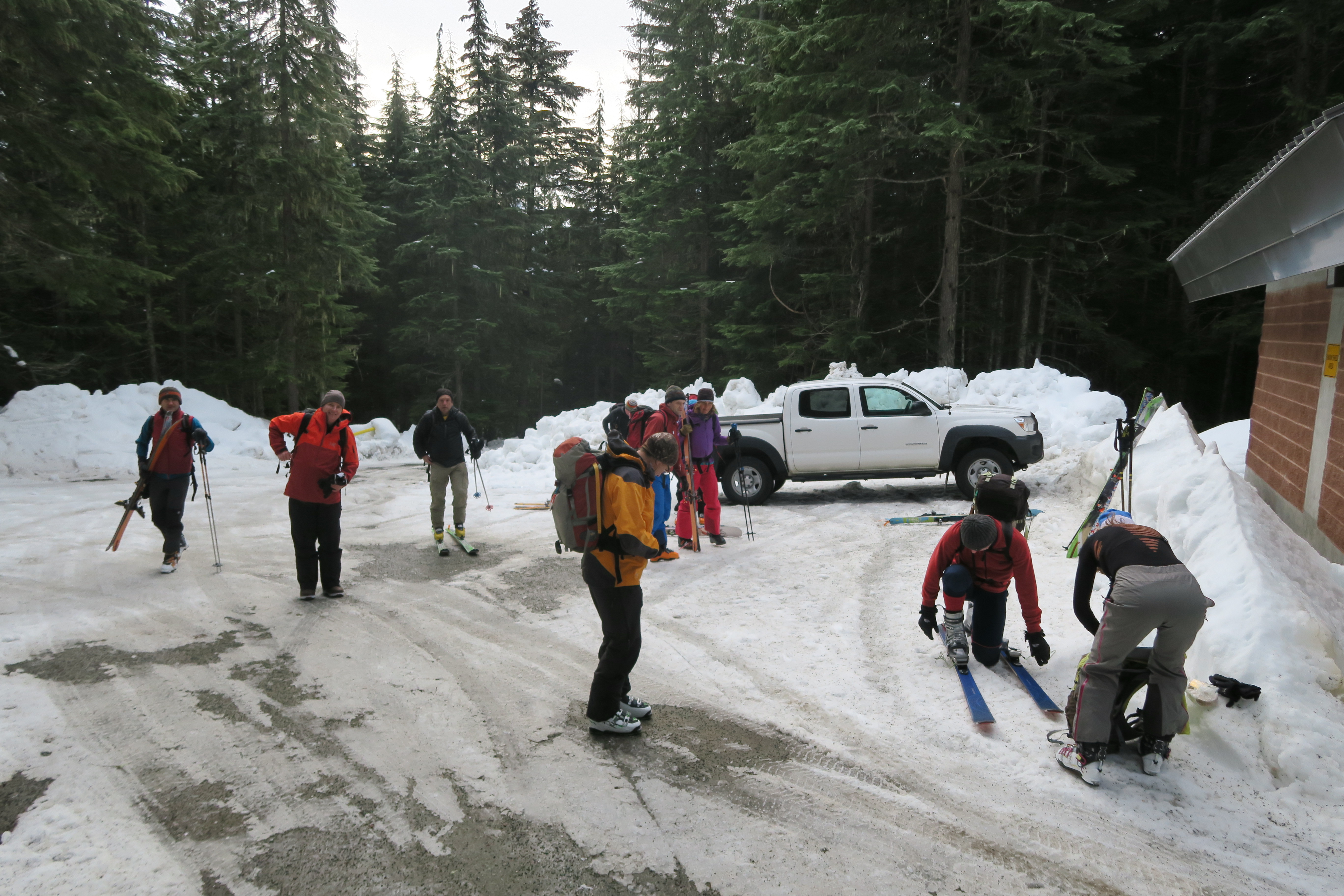
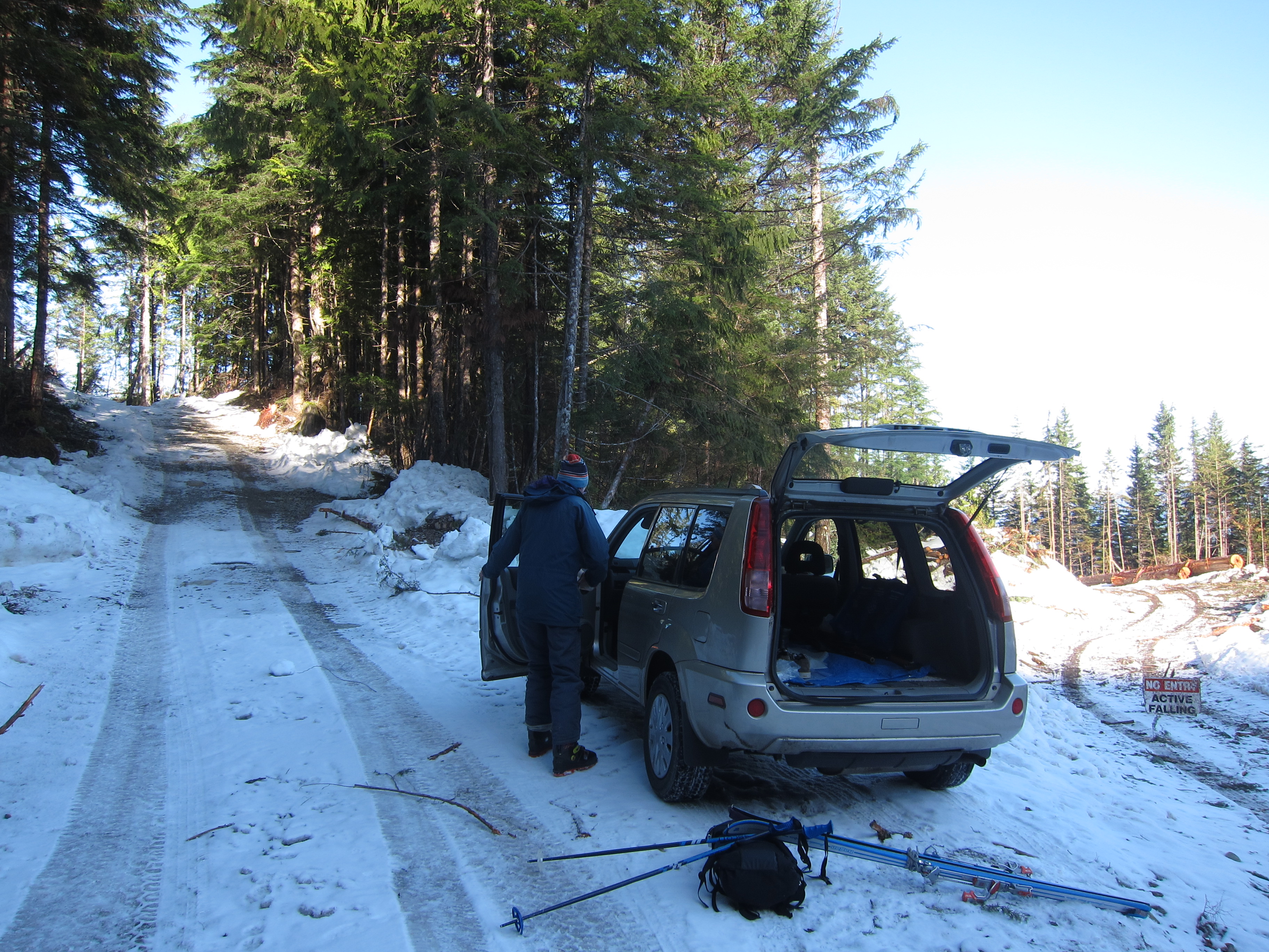
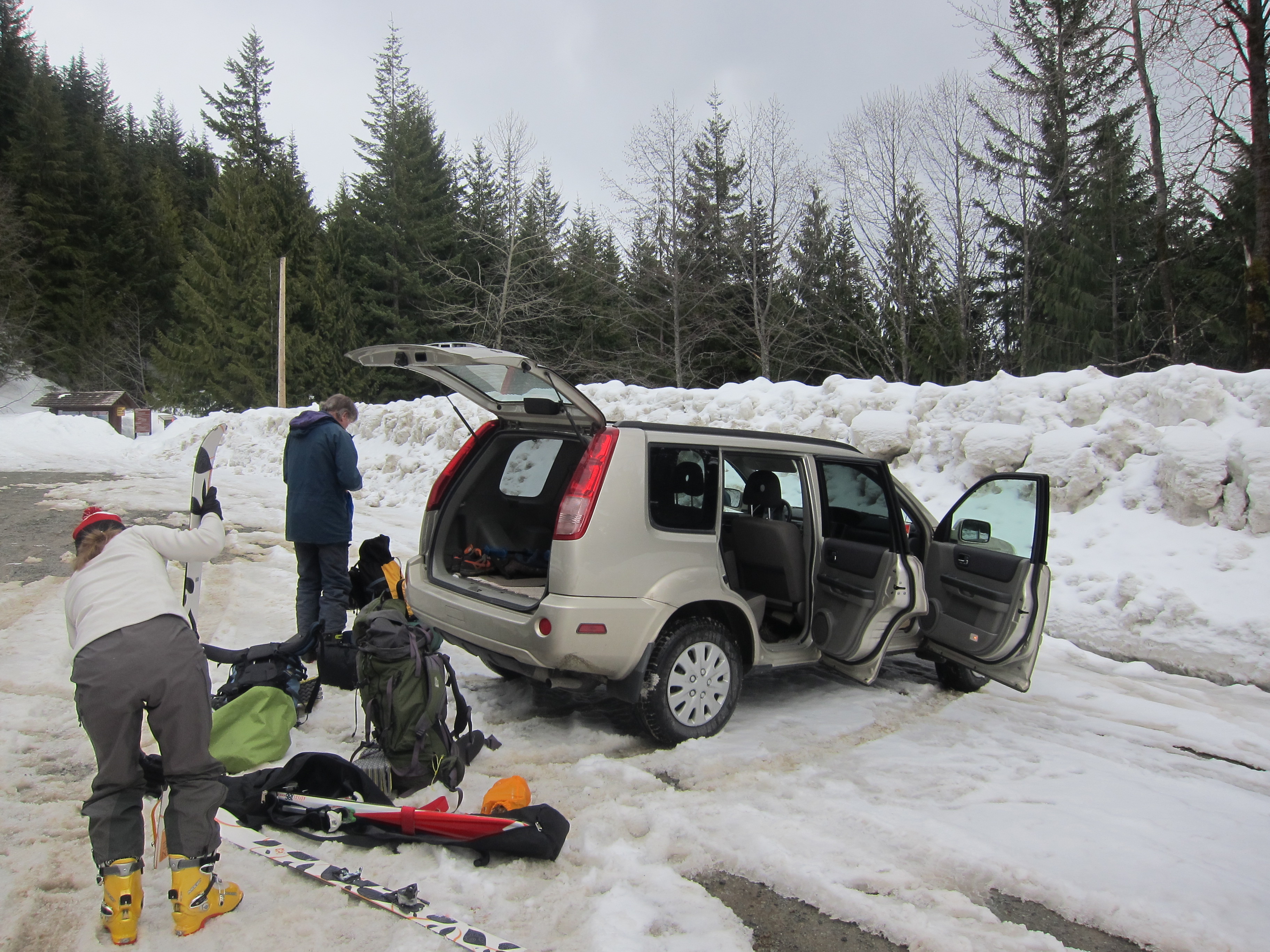
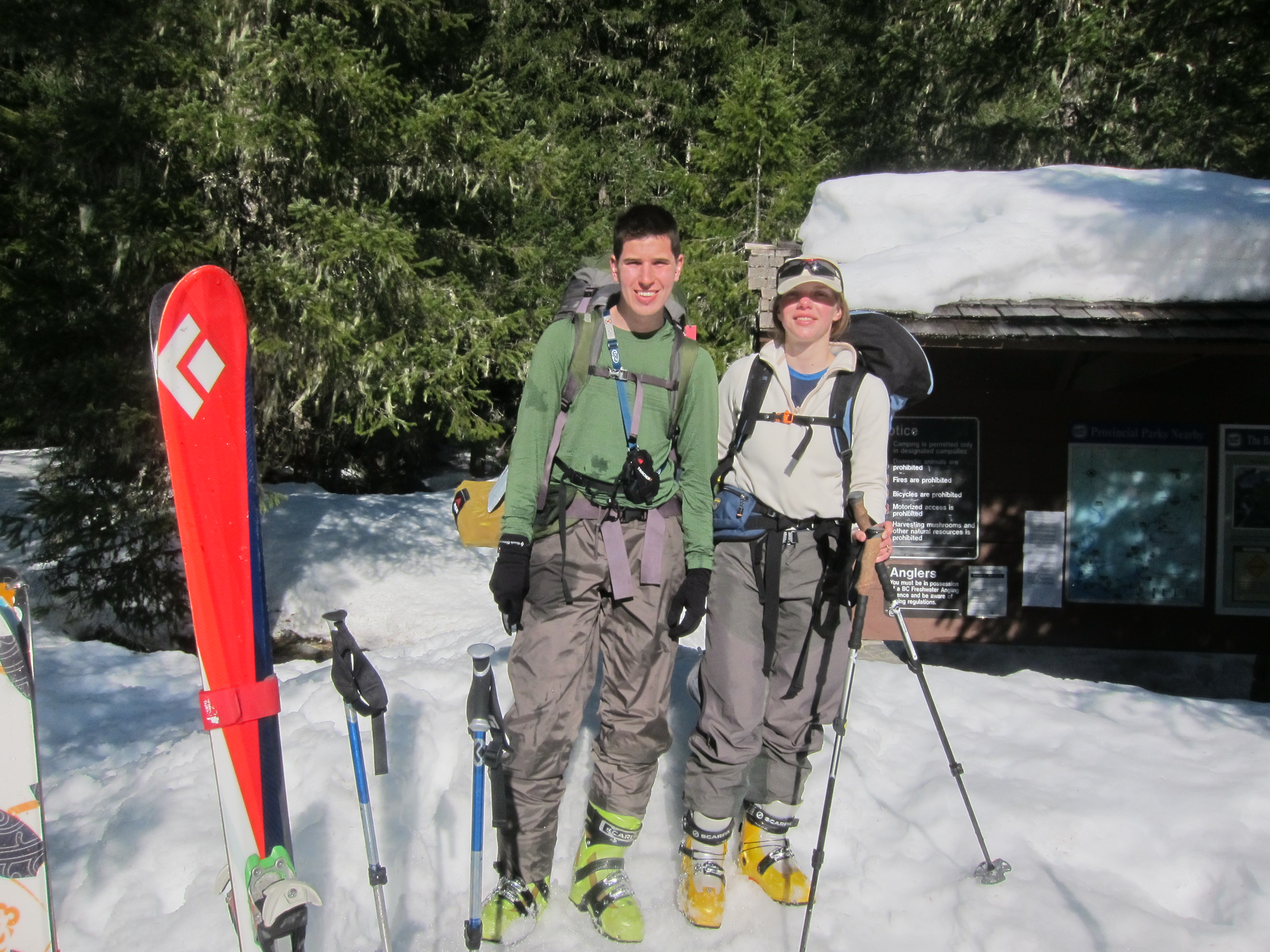
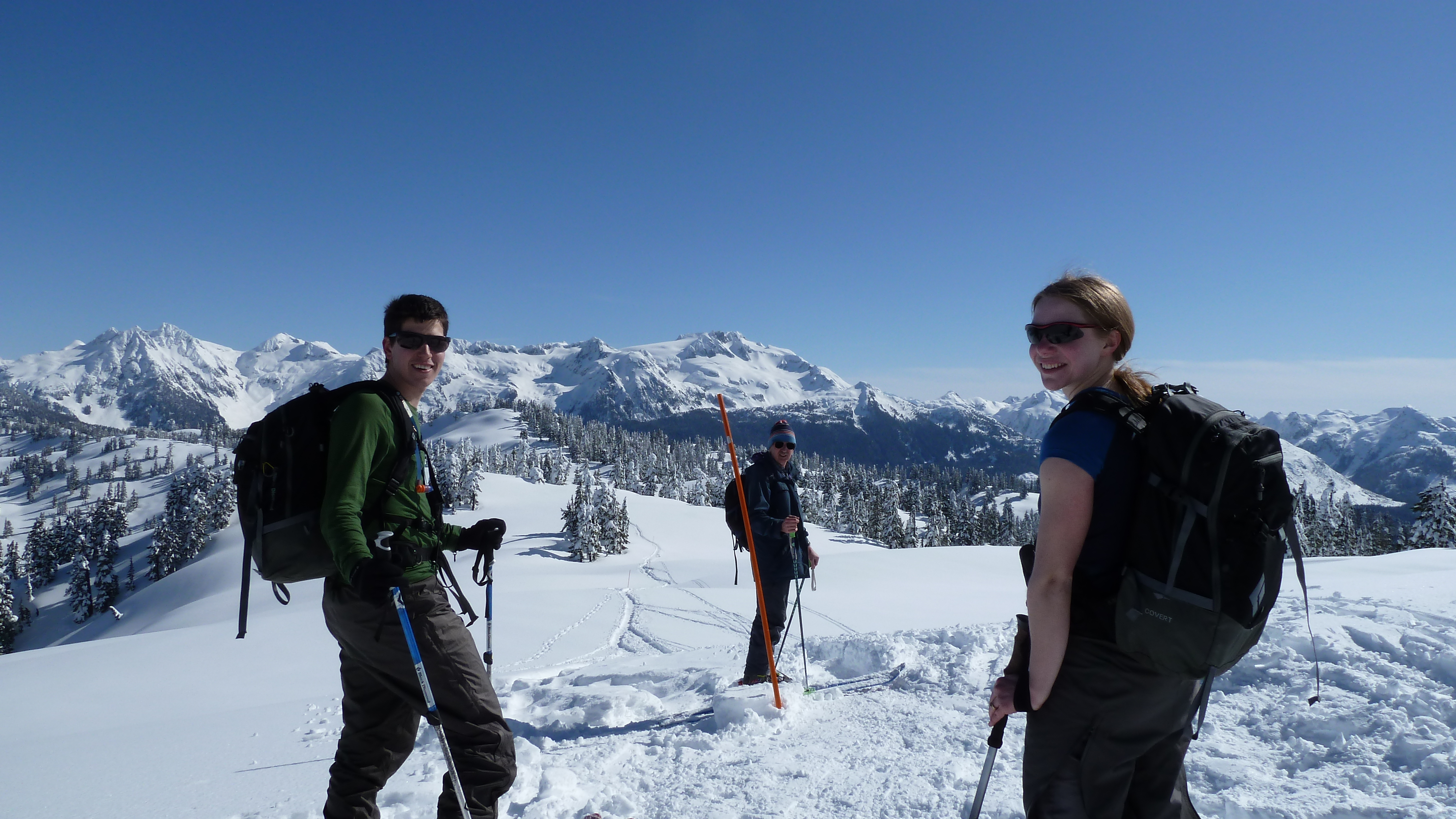
Under thick overcast, my dad picked me up from work shortly after 2pm, and we made our way up to the Rubble Creek parking lot to pick up Brittany where she had dropped off our car. At the Rubble Creek parking lot the skies were dark and it was hailing heavily. By the time we reached the Diamond Head parking lot the precipitation had stopped, but the dark skies gave us some initial doubts as to whether we would be able to cross the neve on the following day.
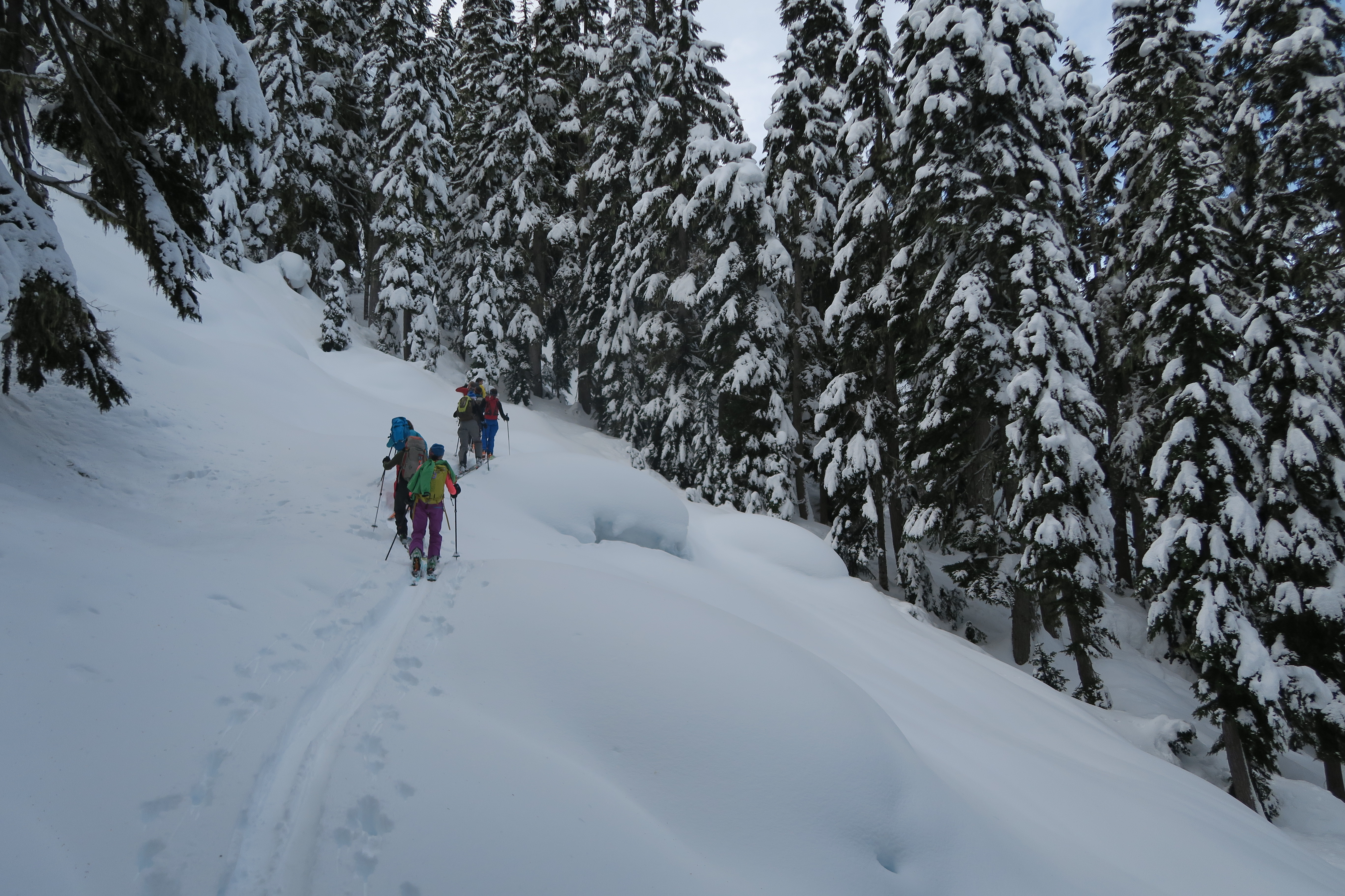
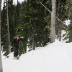
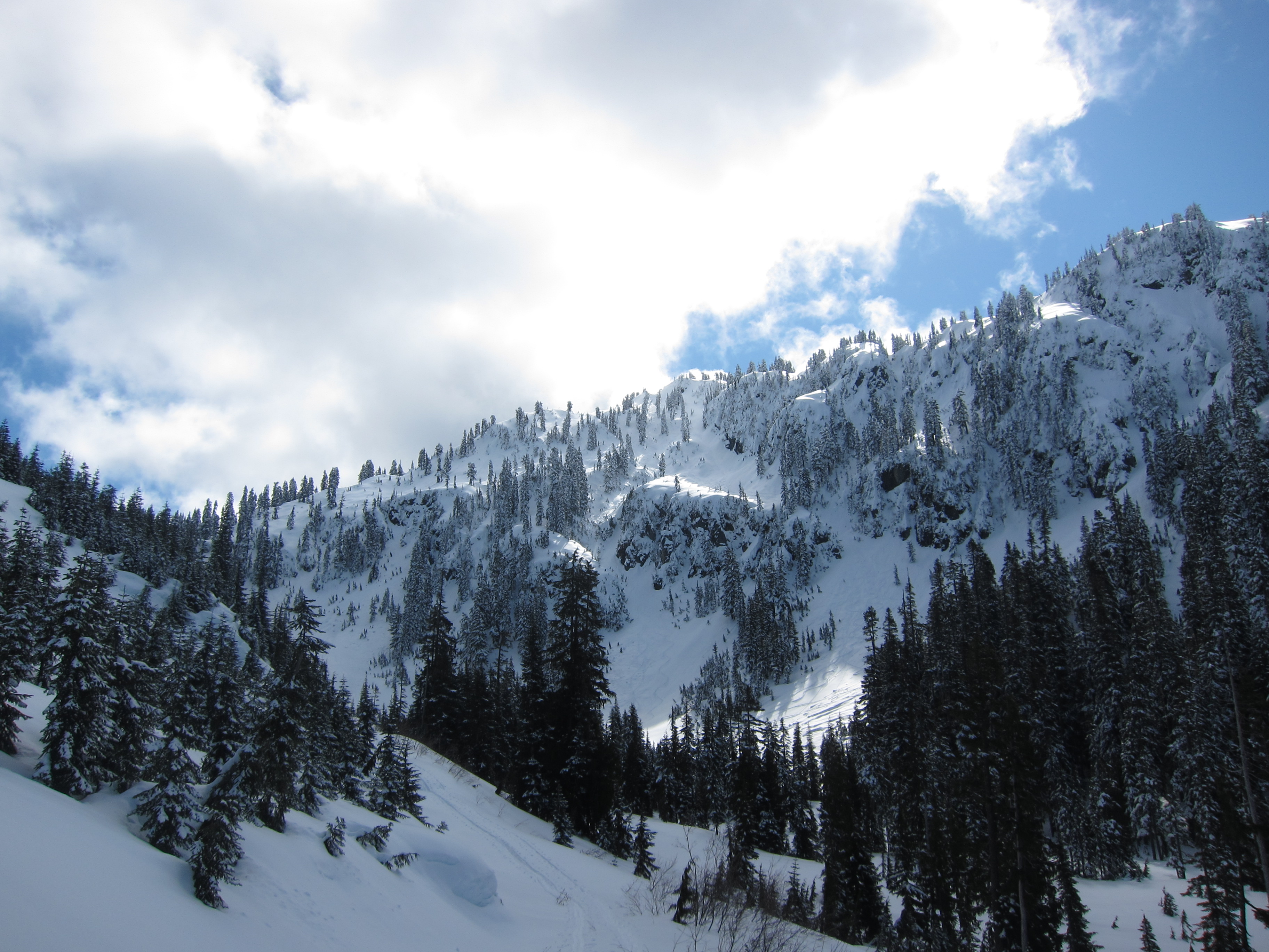
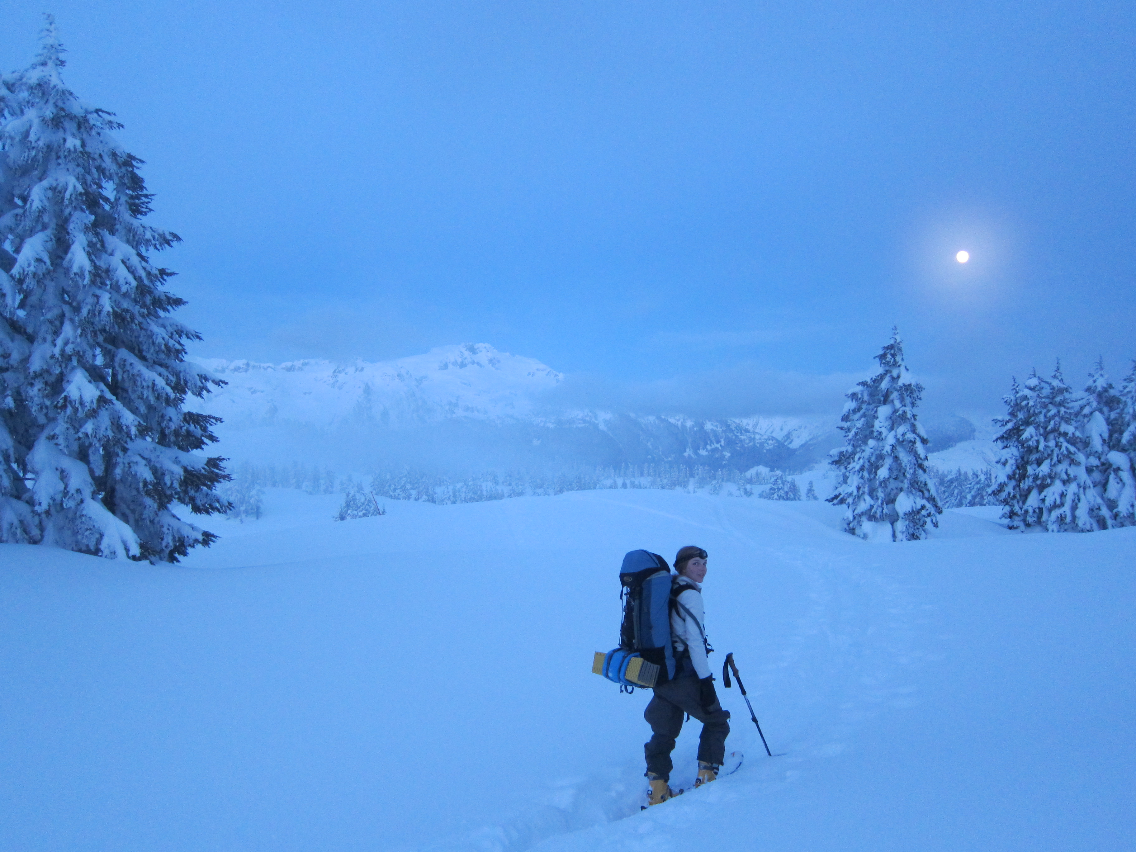
We finally started skinning up the trail at around 5:30, and travelling at a relaxed pace so as to not tire ourselves out, we reached the high point on Paul Ridge just as the sun set. Luckily for us, as we ascended Paul Ridge, the clouds had finally parted and the moon had risen, and we made it to the Elfin shelter by 9:30 without ever needing to put on our headlamps.
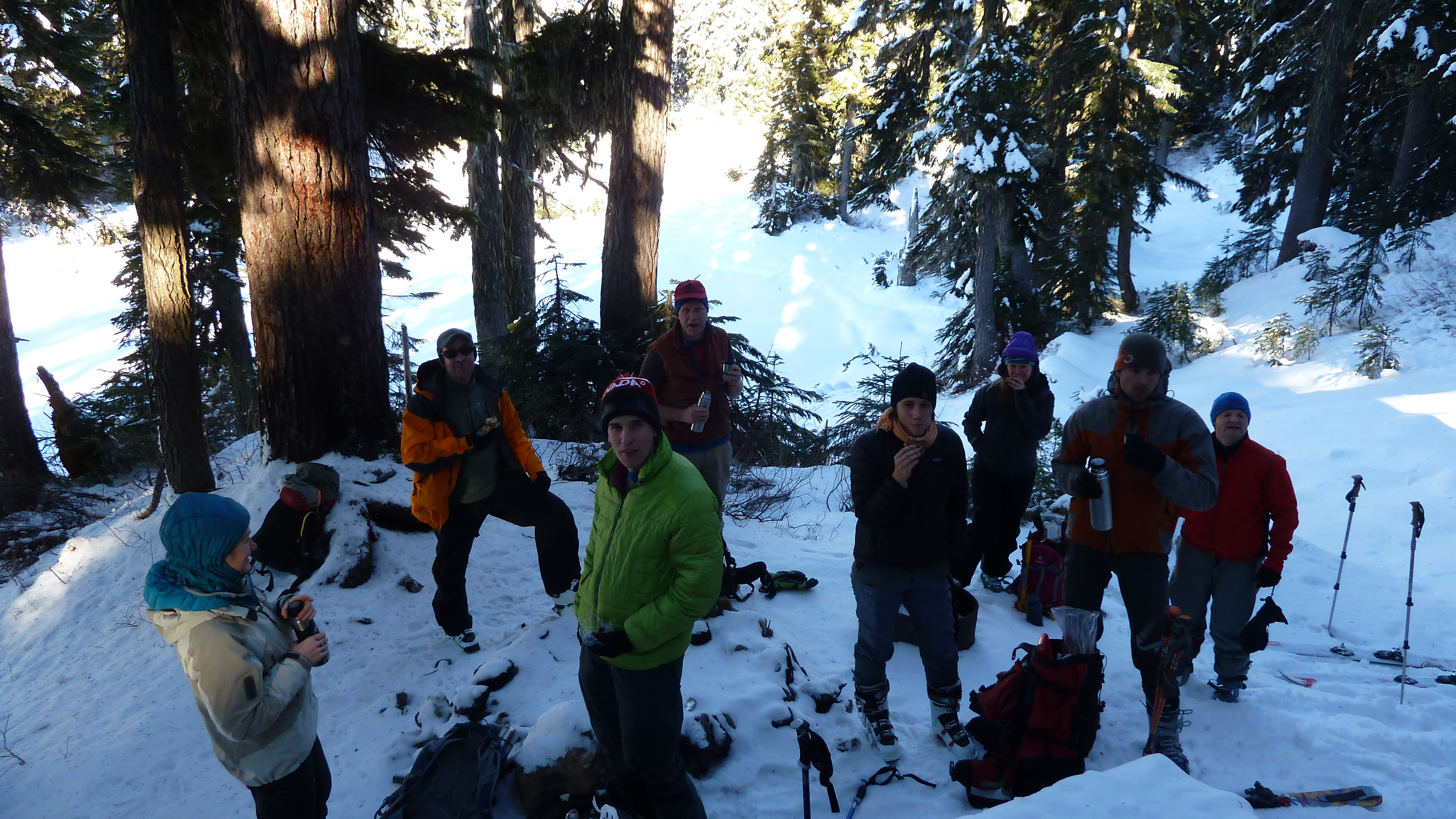
On the evening before the long weekend, the shelter was modestly busy, but there were still numerous beds free and after a quick snack we quickly settled in for the night with the intention of getting an early start in the morning.
Friday
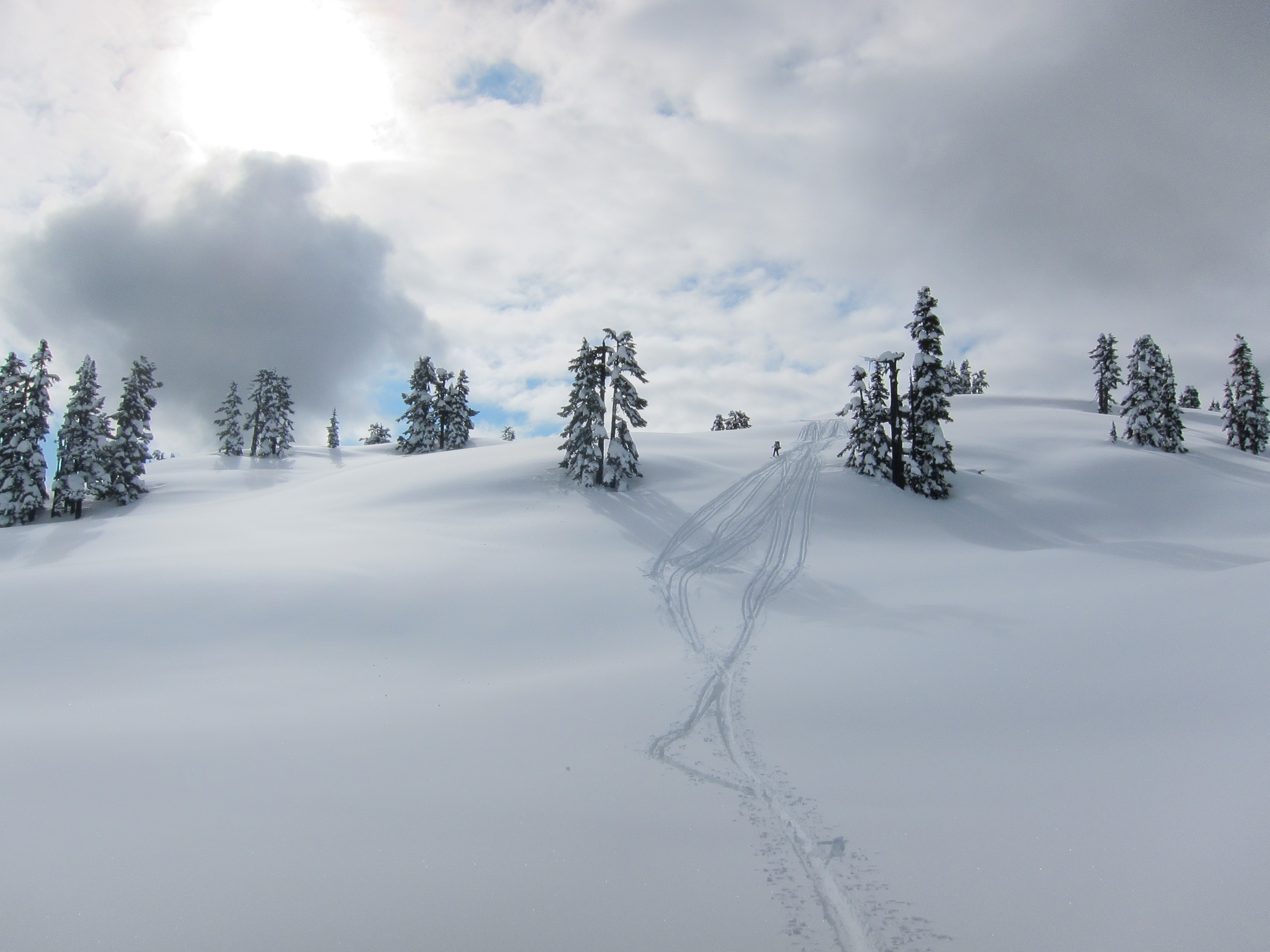
We woke up well rested at the reasonable hour of 7:30, and got ready to set off. A quick test of the snowpack outside the shelter revealed that there was over 1m of soft powder over the base, although it seemed that we weren’t going to sink in too far with our skis on. Nonetheless, we decided to wait for a little while as another party in the shelter was intending to set off a bit later that morning to camp early on the neve, just above the Opal Cone. We finally set off at around 9:30am. The weather had closed in somewhat since the previous evening, with Garibaldi firmly ensconced in thick cloud, but the cloud was high enough for us to be fairly confident of making it across the neve without having to travel in a white out.
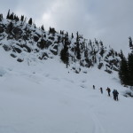
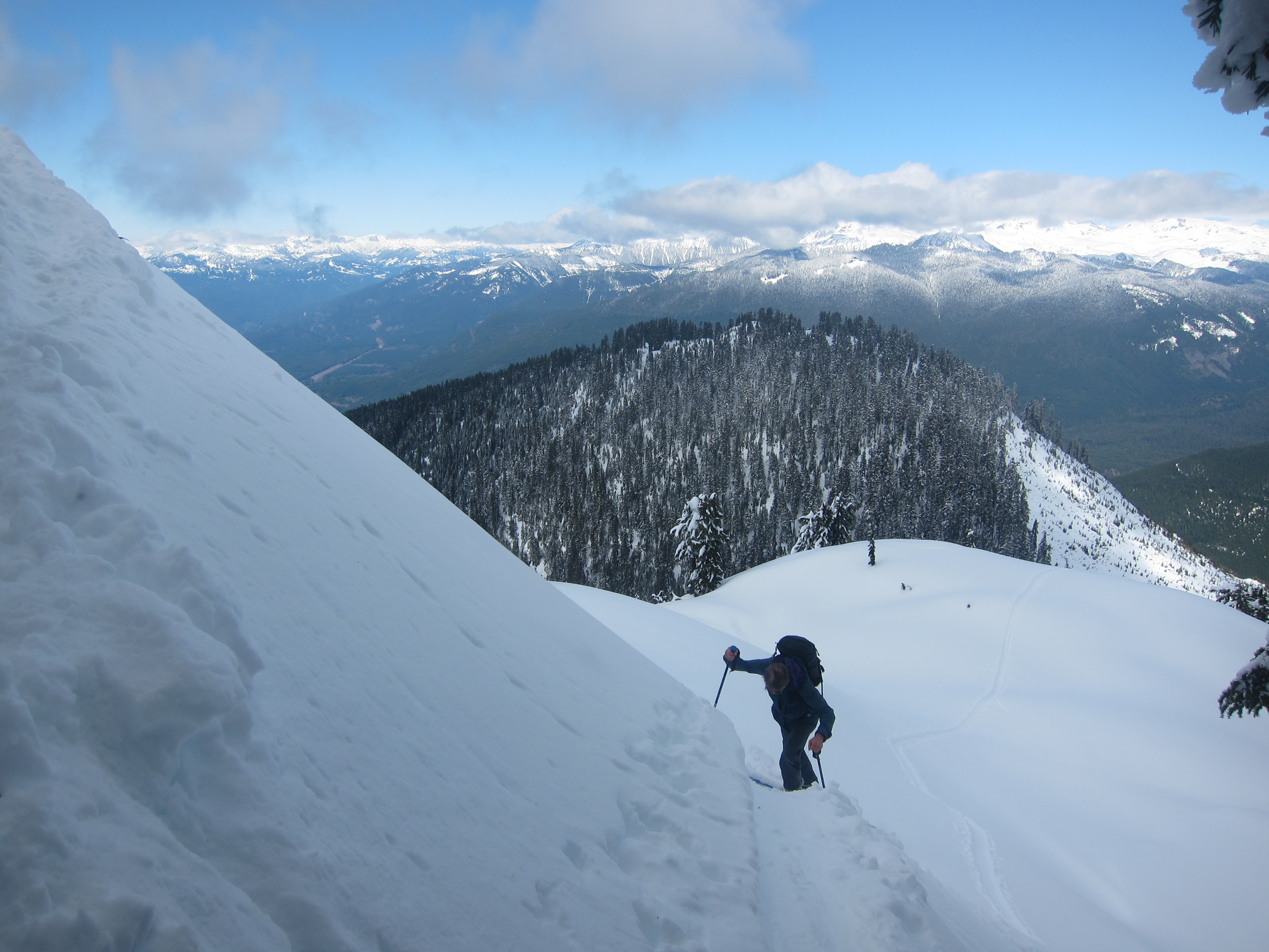
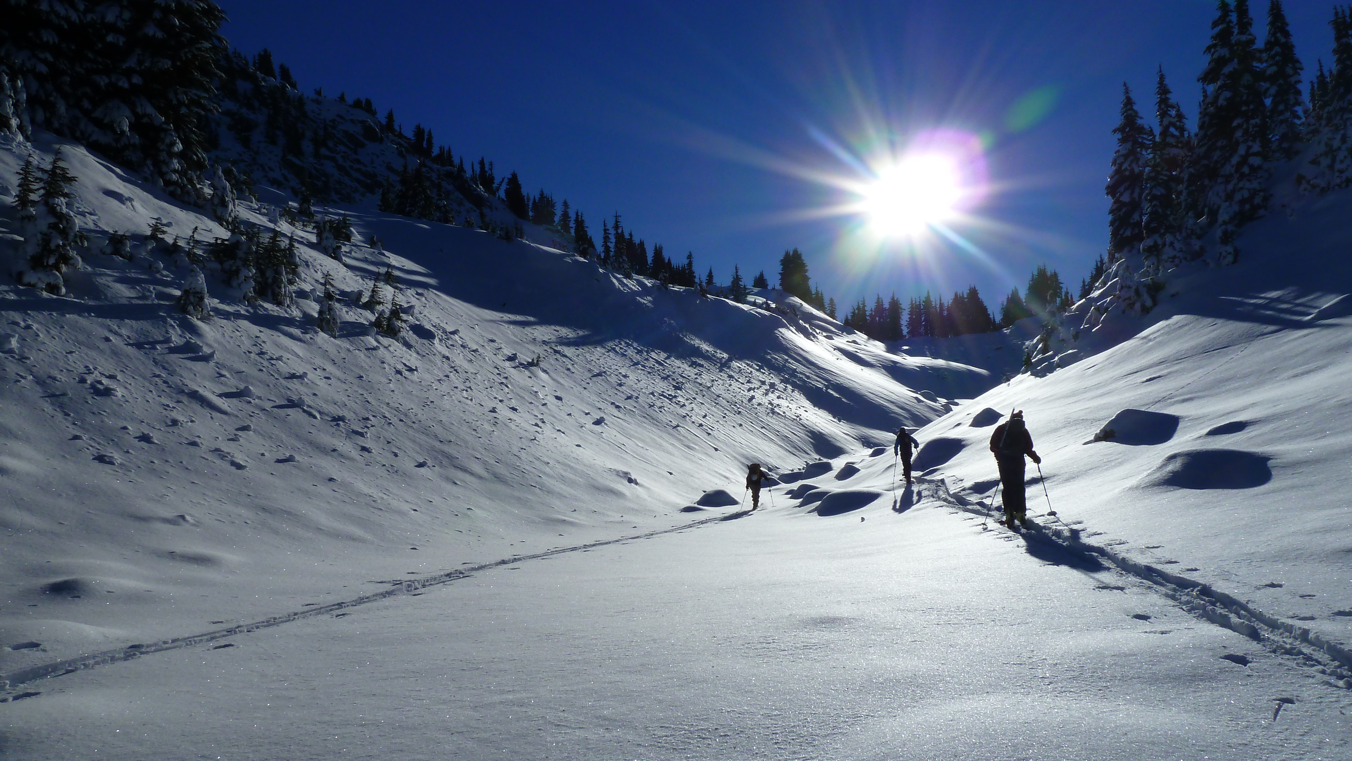
The first few hundred metres from the shelter were quick going as there was an established track heading up towards the Gargoyles, but as soon as we left the existing track, the going became tough. Extremely tough. With each step, whoever was breaking trail was sinking in 20-30cm in most places, and occasionally even a little more. After an hour we had cleared a couple of the gullies on the traverse into Ring Creek, but really hadn’t made it very far, and the legs were already burning. Consequently we stopped, waited, and after about 30 minutes of not seeing anybody else, made the decision to abandon our attempt on the neve, turn around, do some skiing above the shelter, and head back out to the car later in the day!
Not two minutes after turning around we saw the other party from the shelter following in our tracks, and when we met them, they were optimistic about their abilities to break a trail up to the start of the neve. Another long discussion ensued between me, my dad, and Brittany, and we eventually concluded that it wouldn’t hurt to follow in their tracks for a while, team up with them to make it up towards the neve, and push off our decision as to whether to abandon our attempt until a bit later in the day. By the time we got going again to head down into Ring Creek it was already around 11:30, and we knew that given the conditions it would be a long day still if we wanted to make it down to Garibaldi Lake that day.
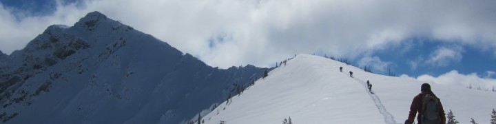
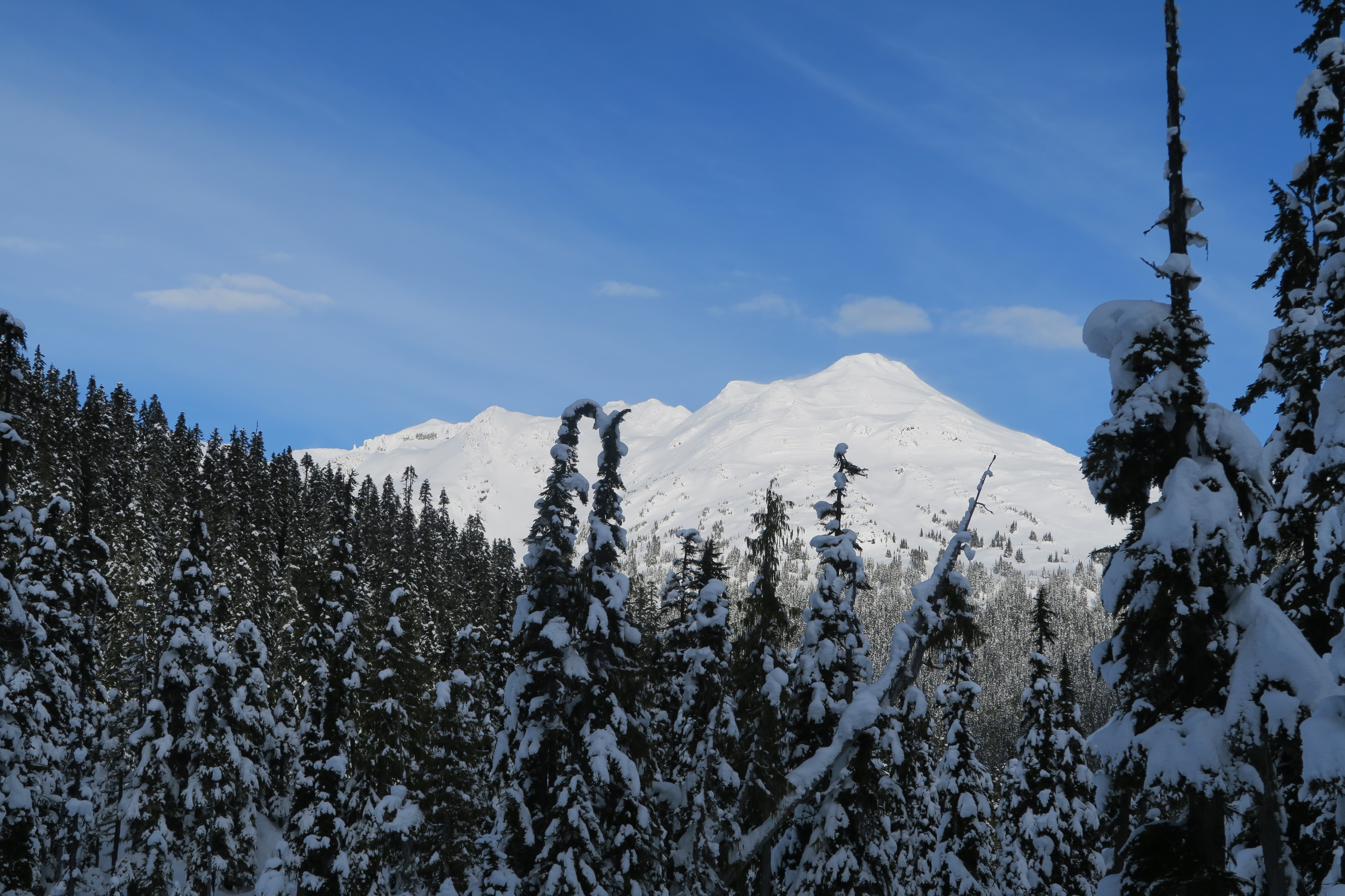
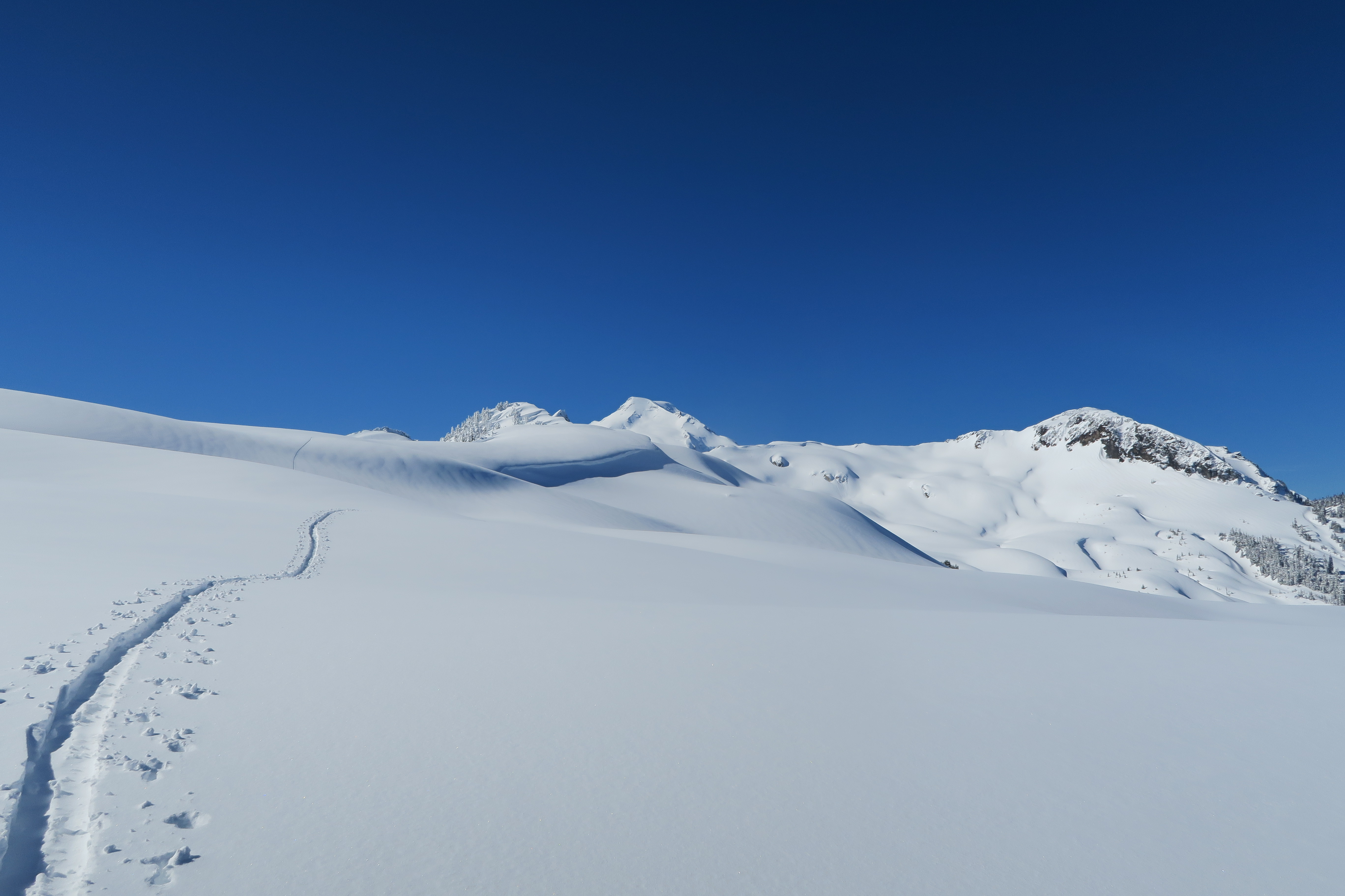
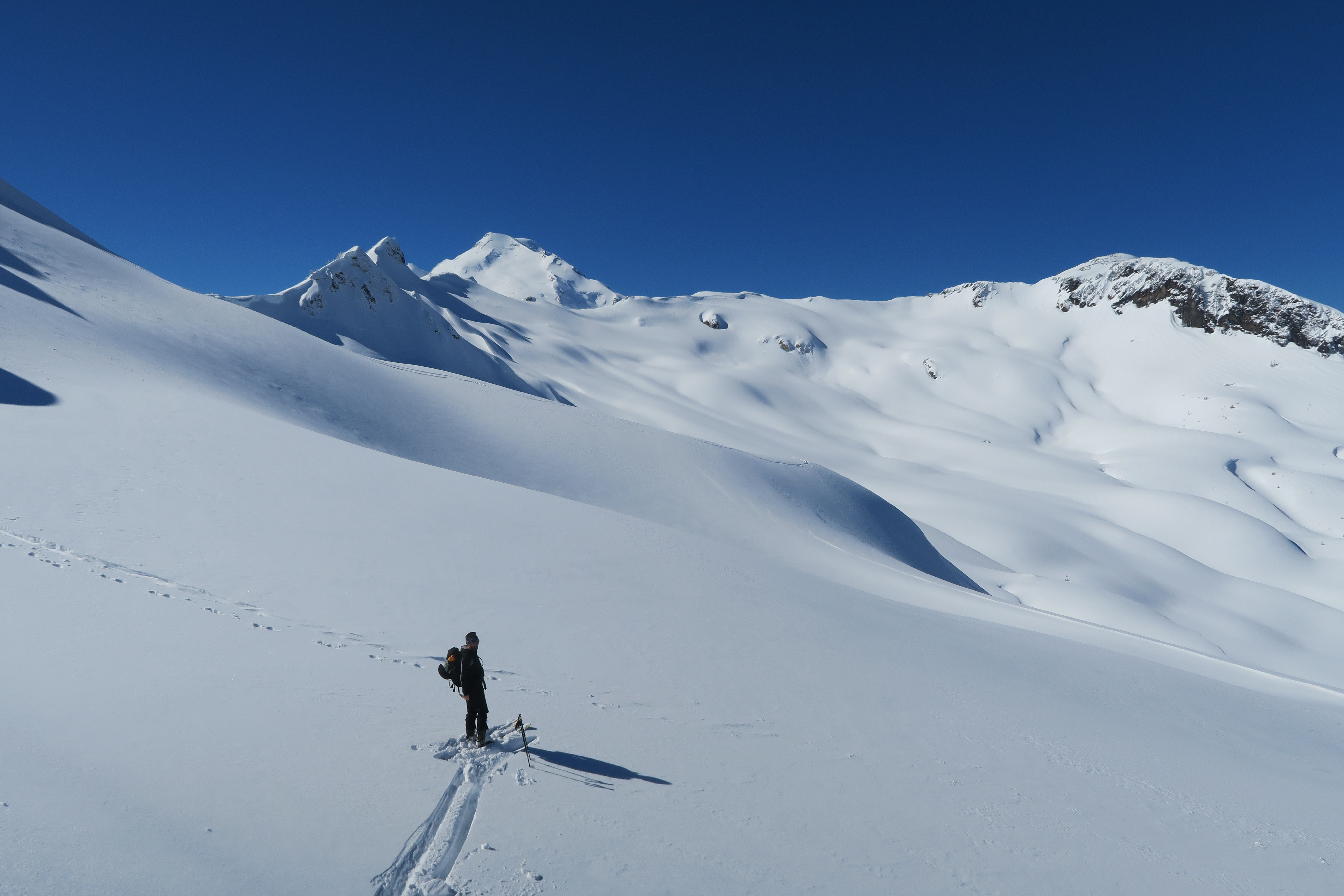
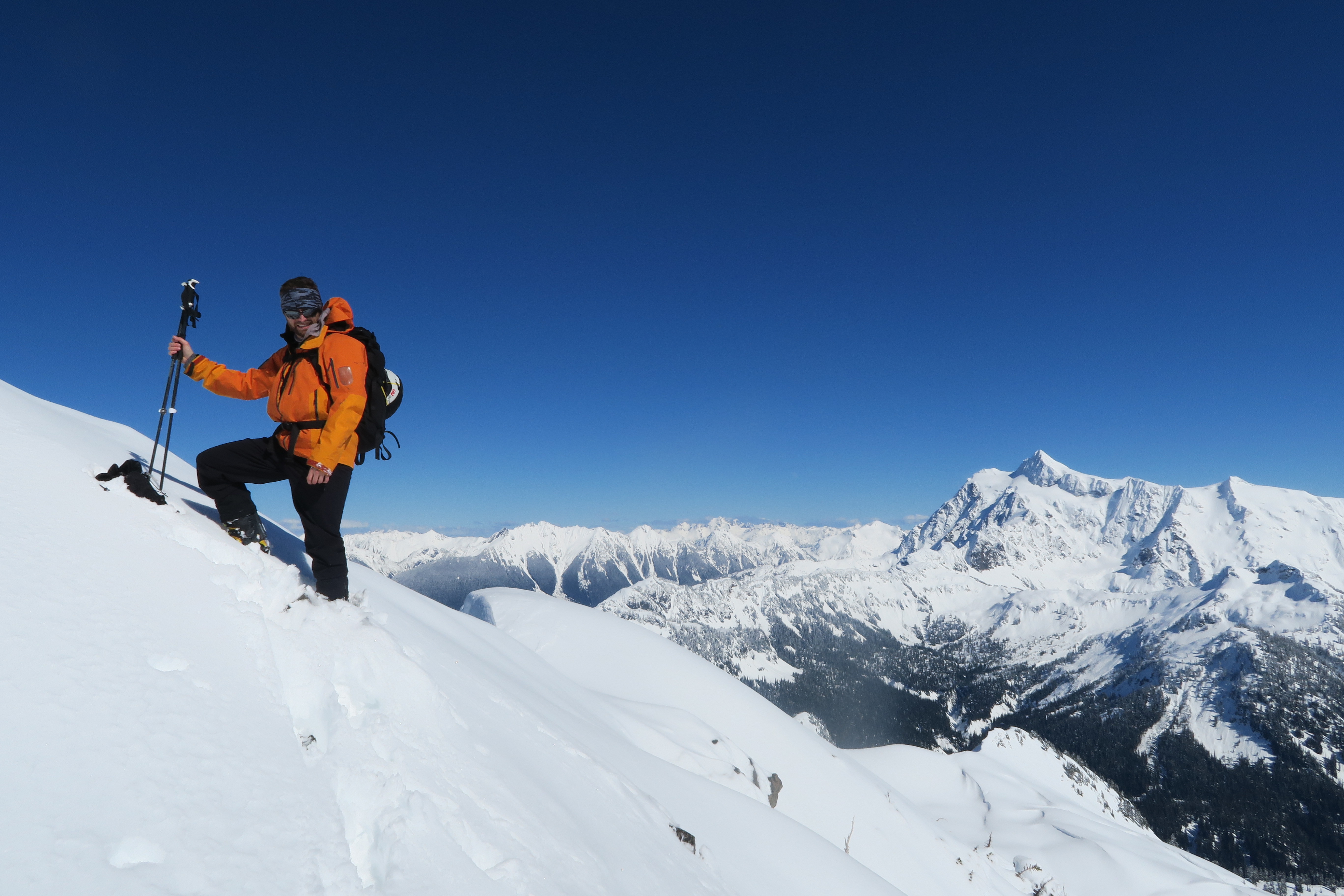
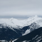
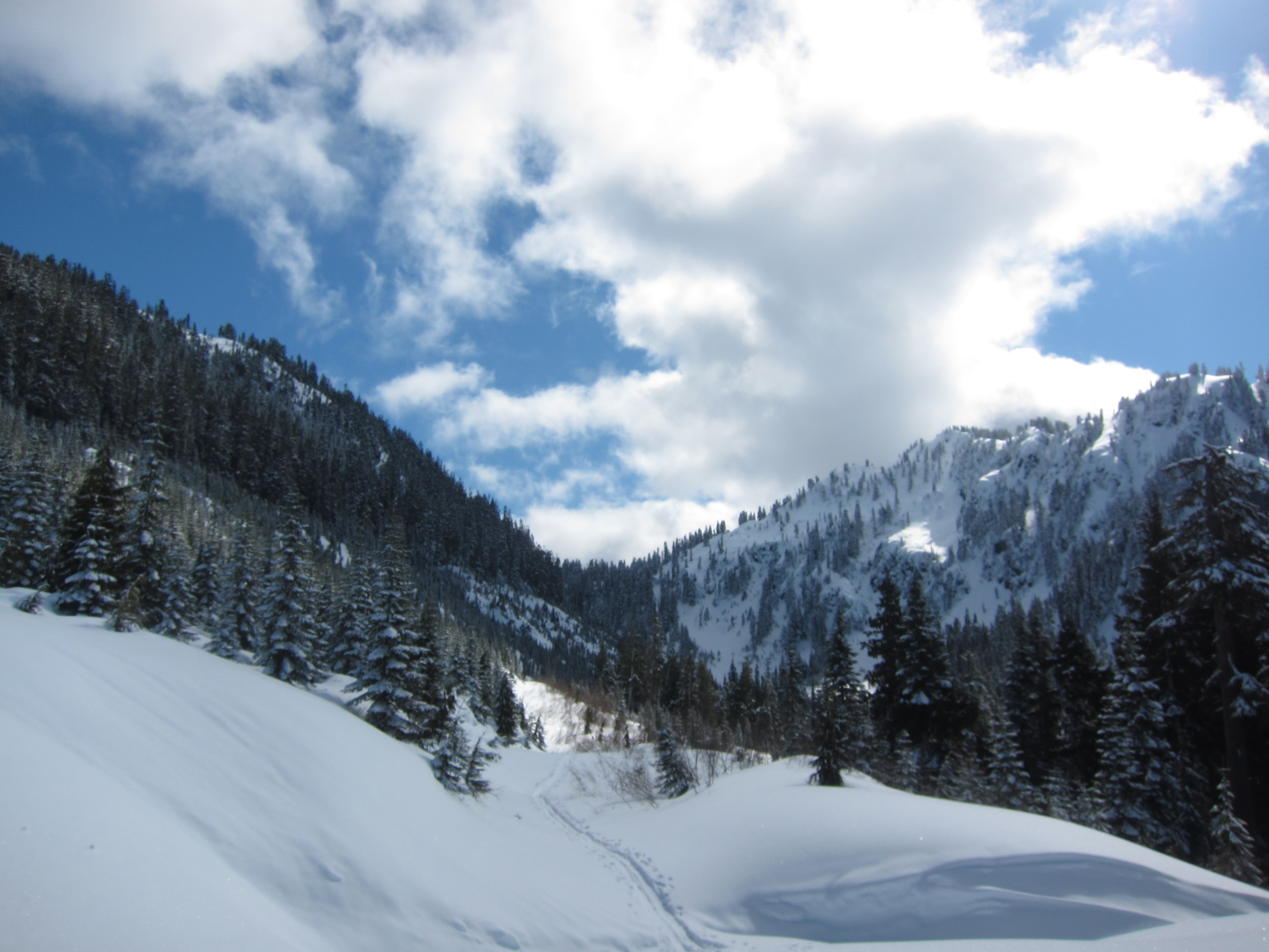
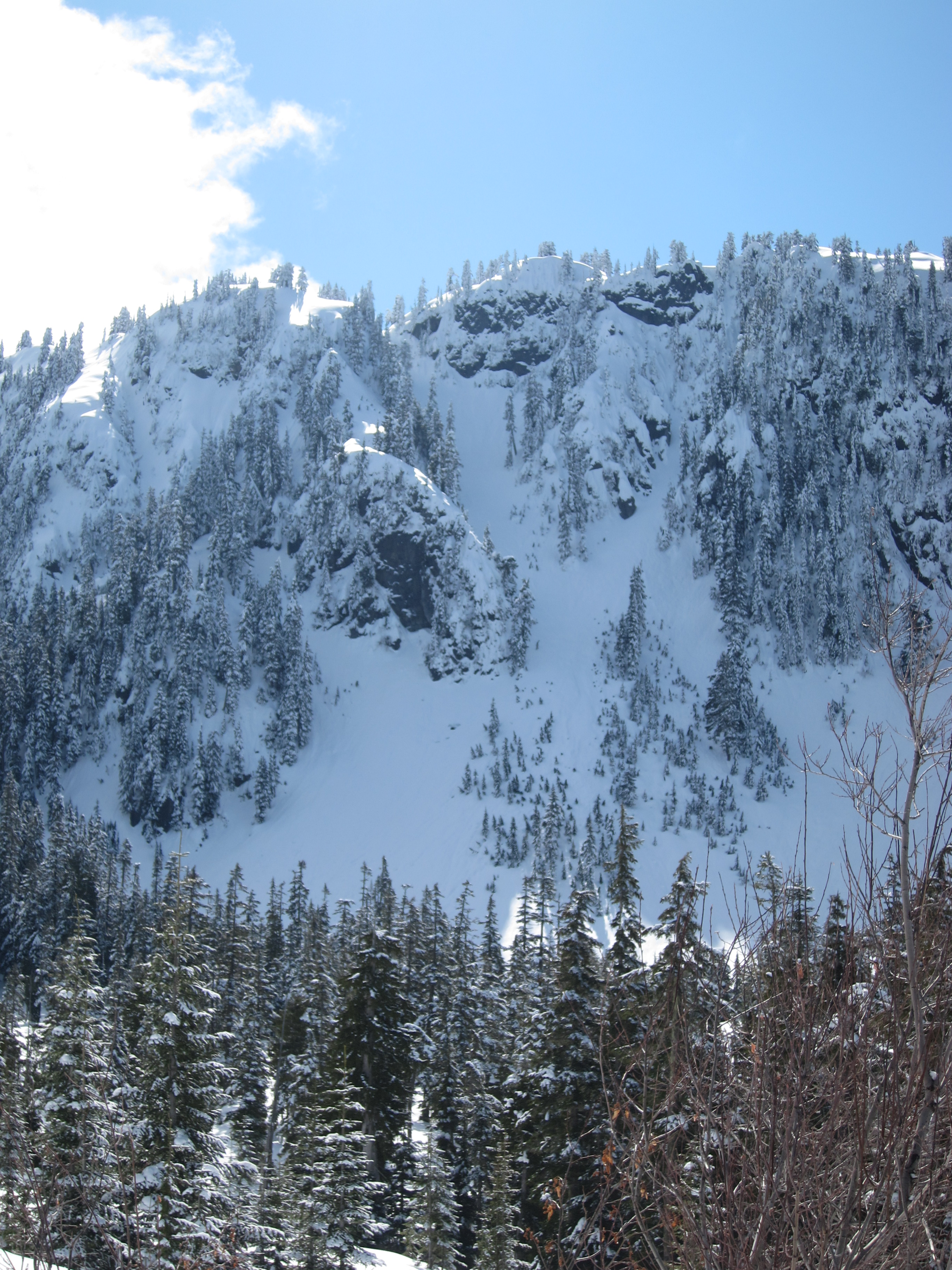
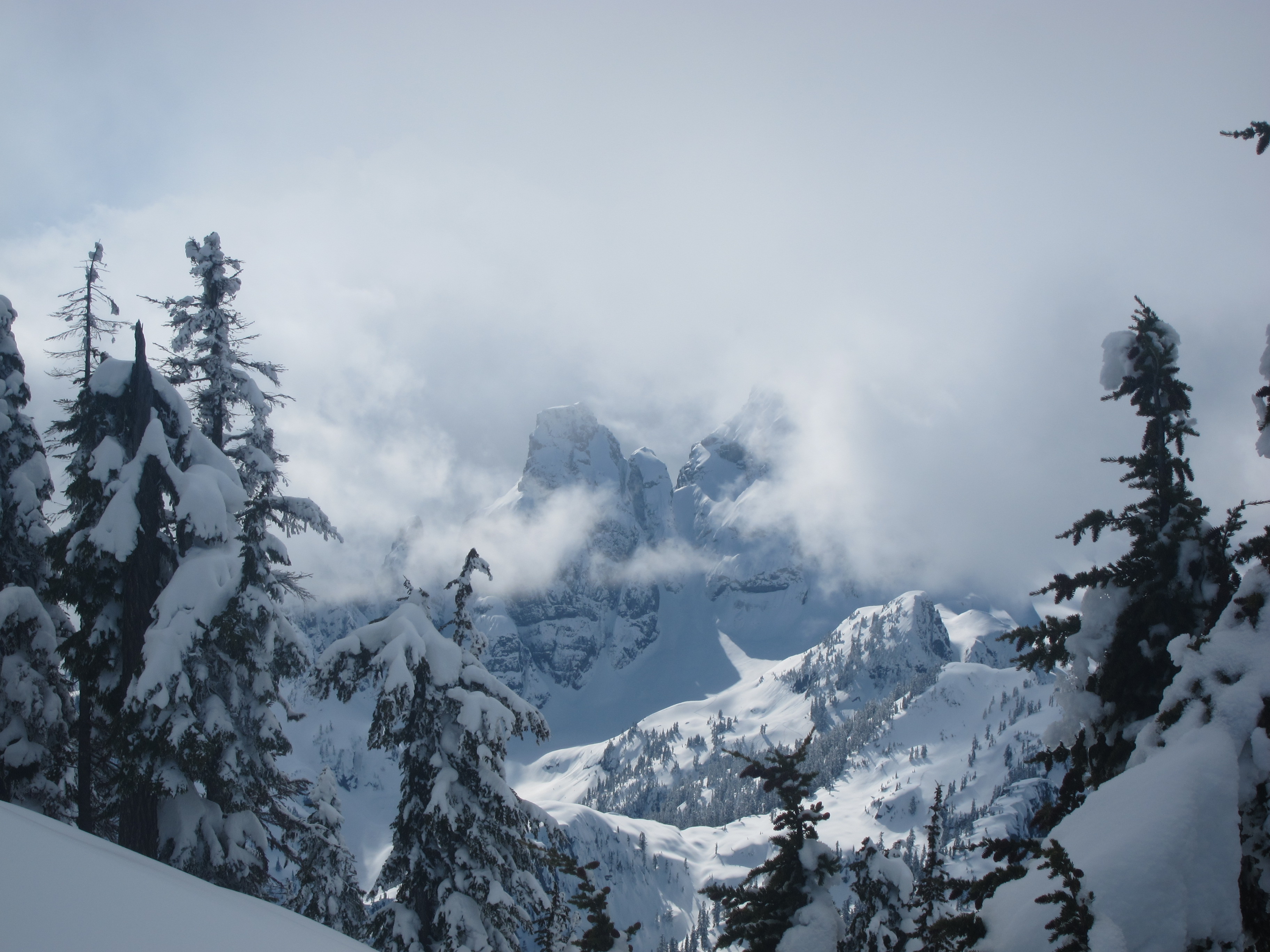
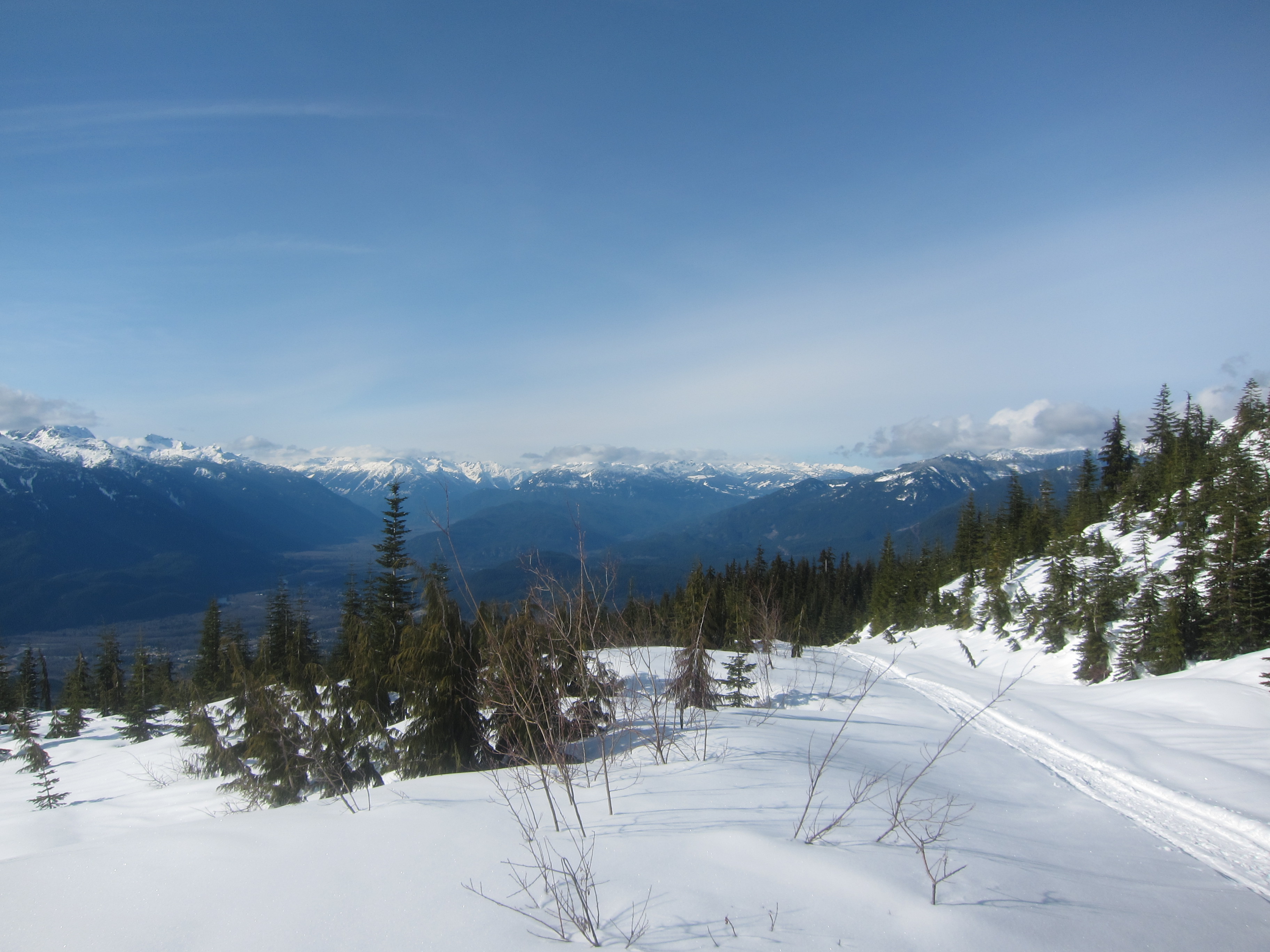
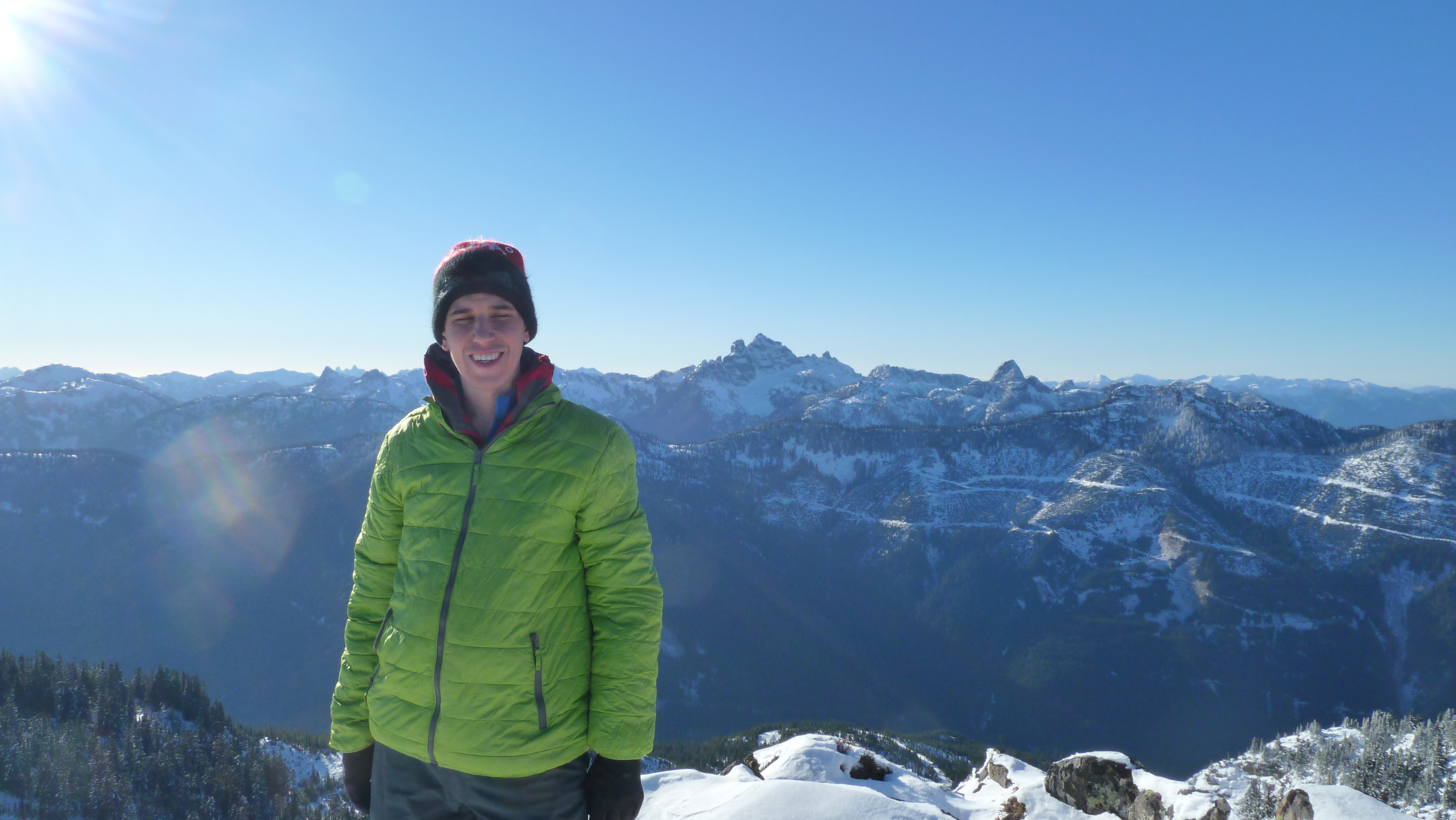
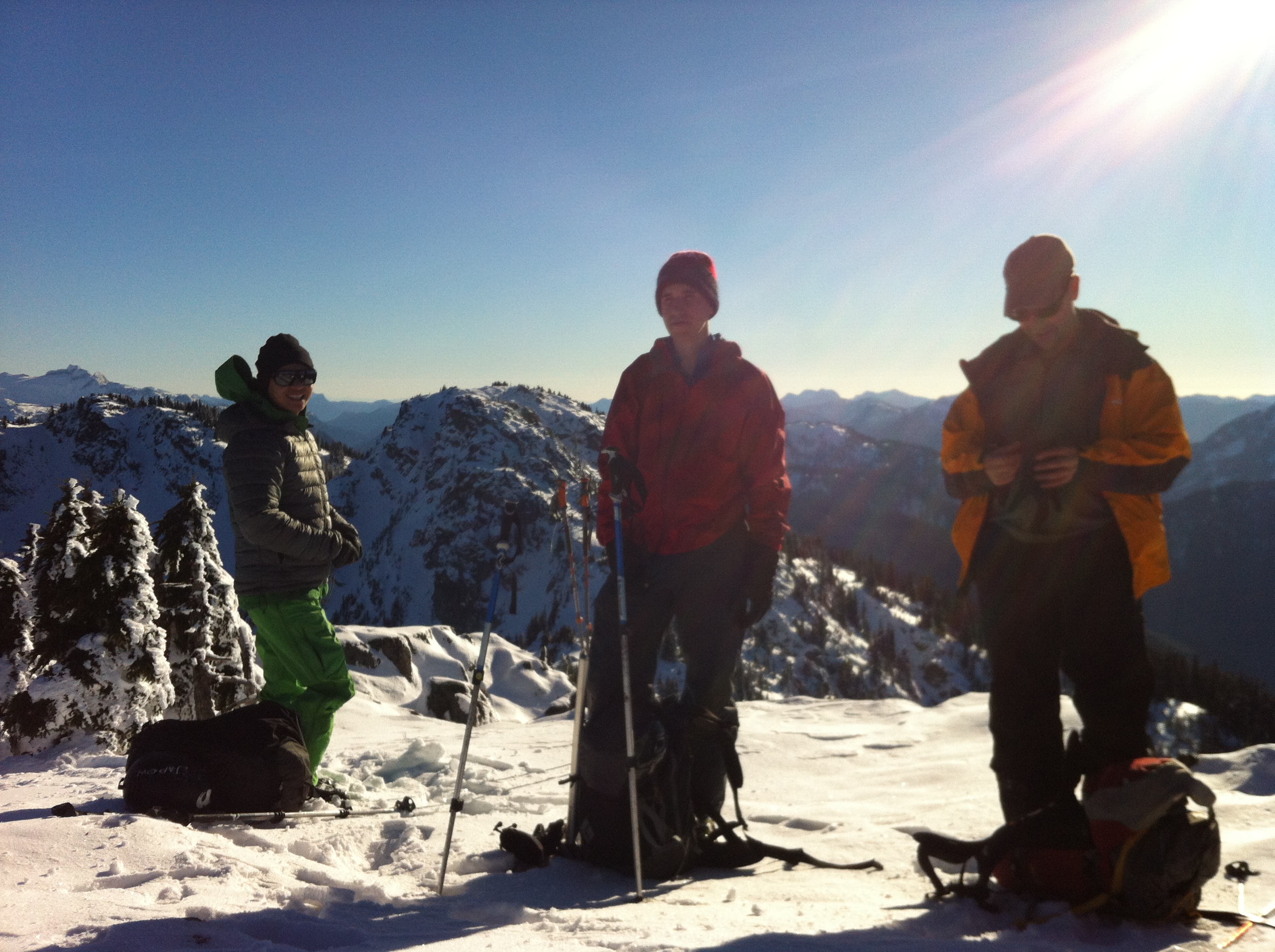
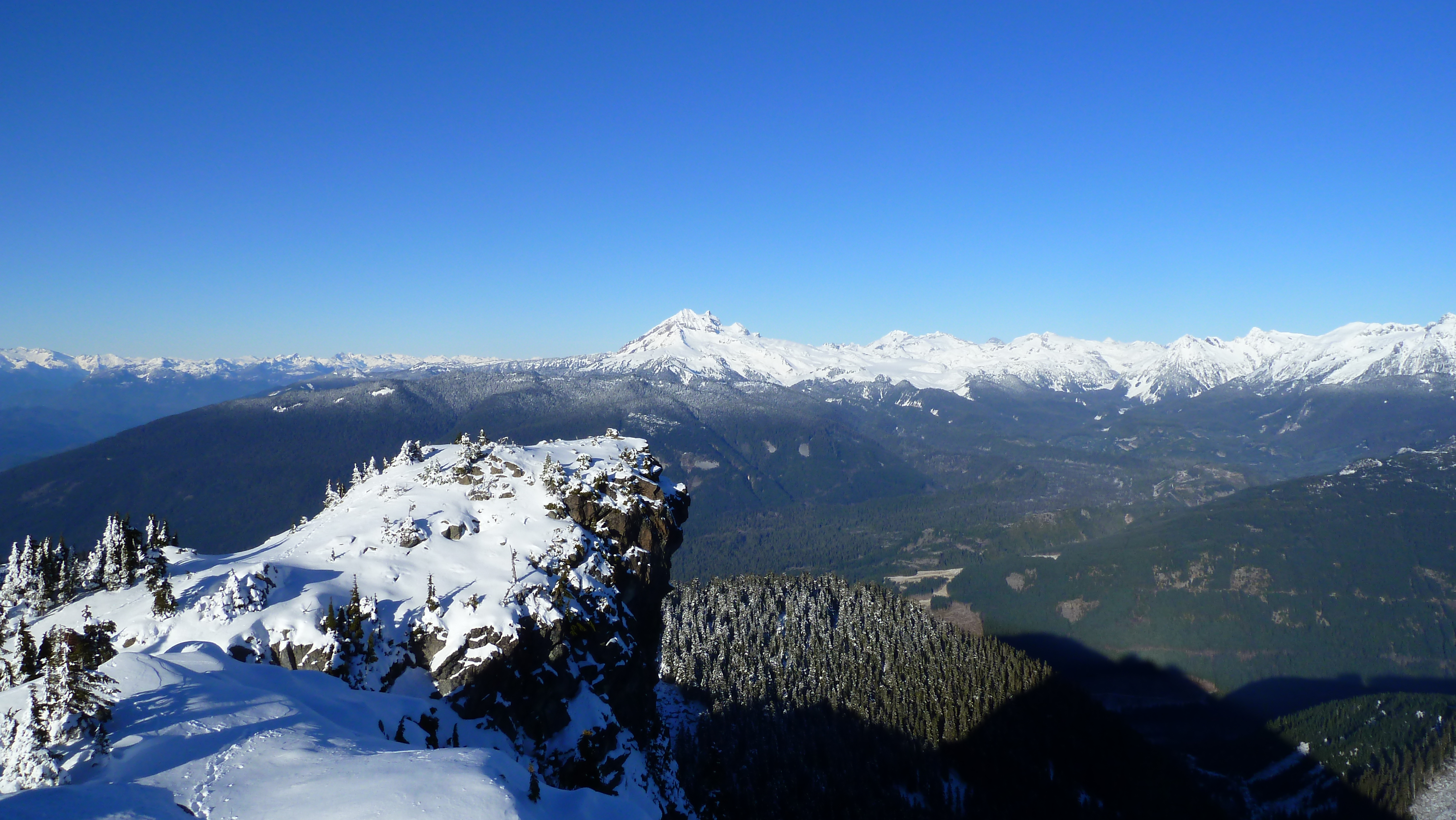
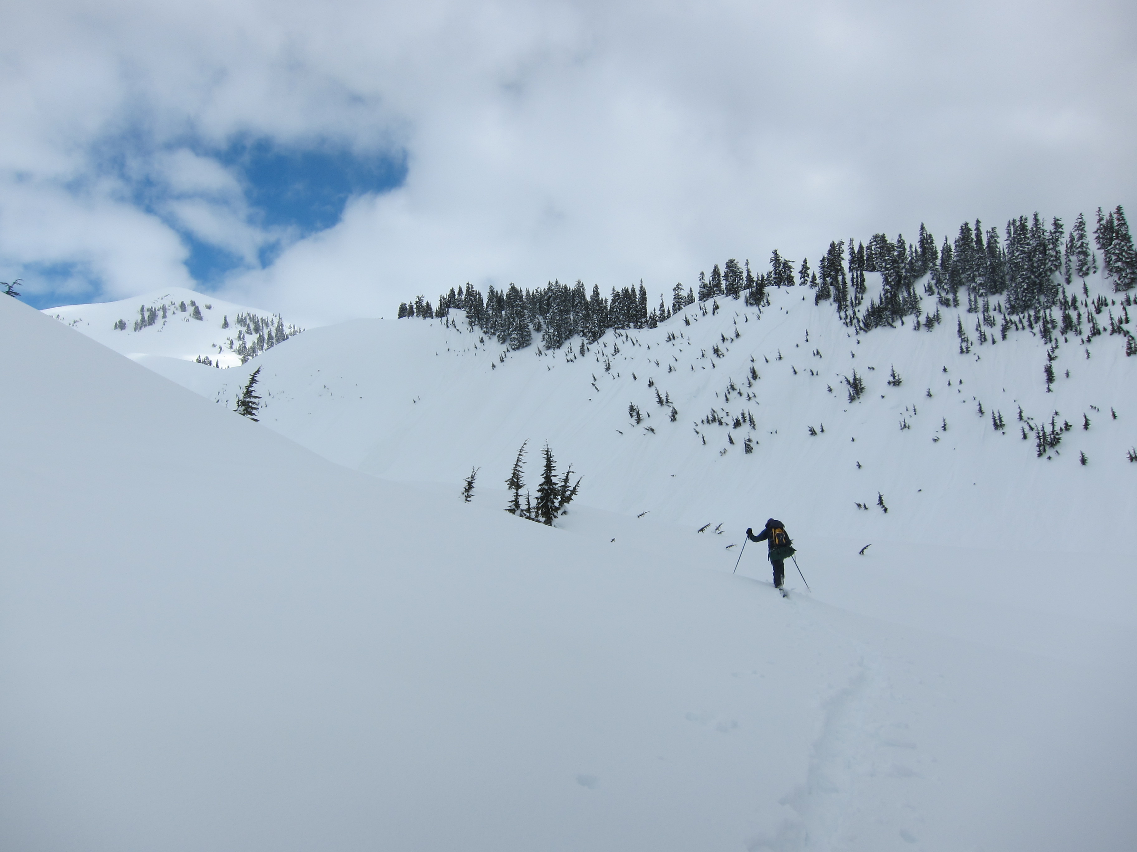
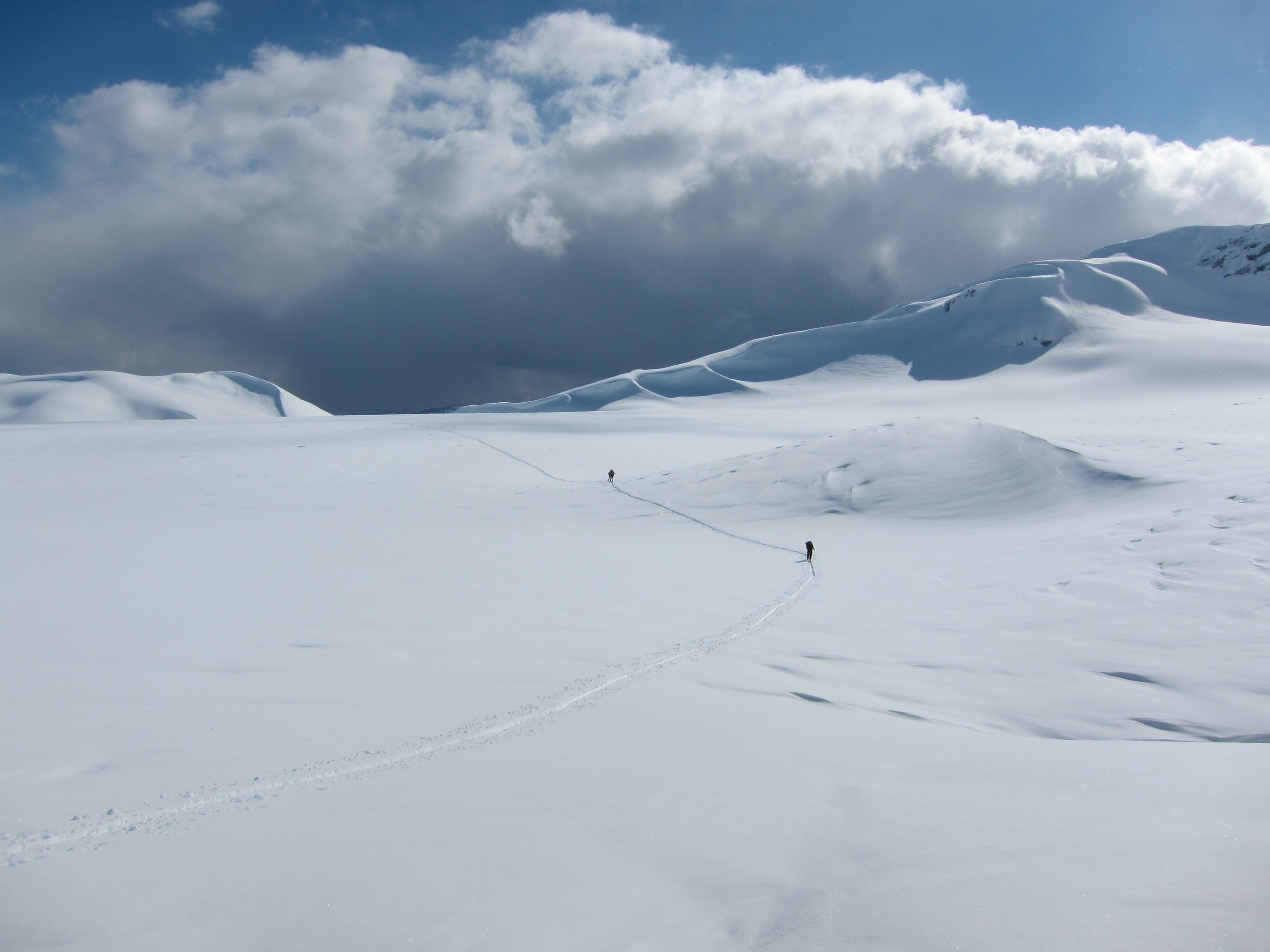
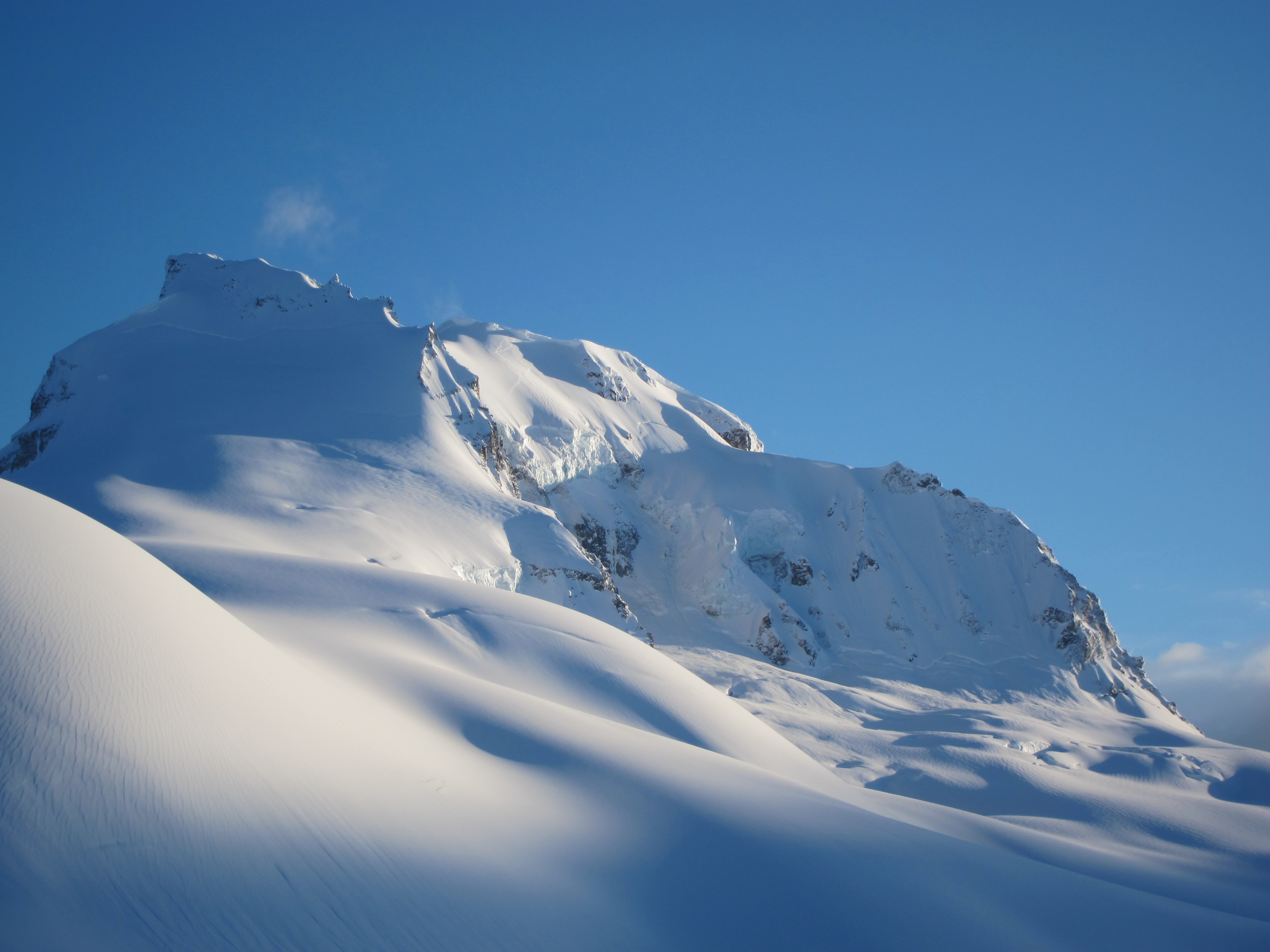
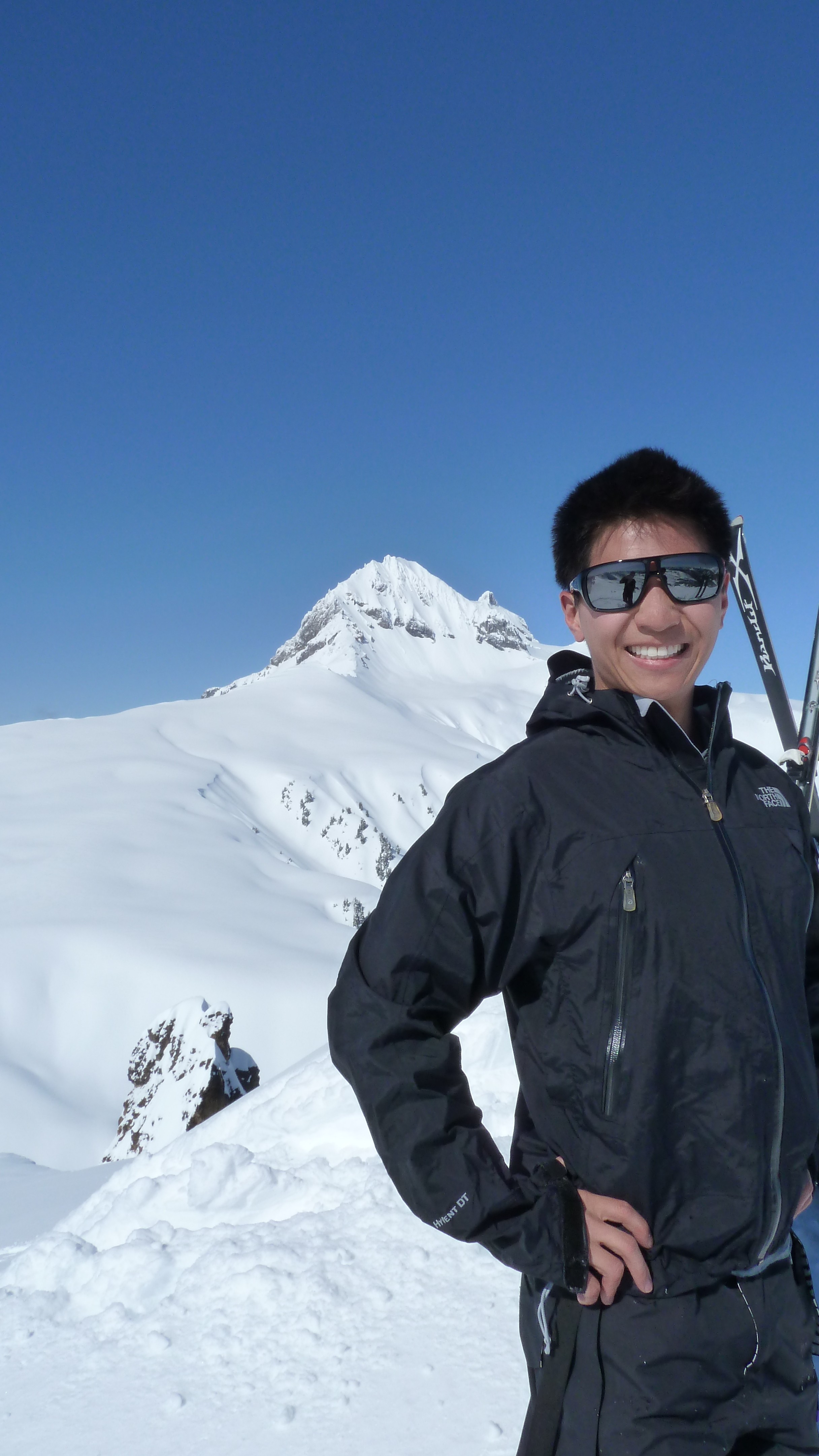
Following the other party of 4 (and for a short while, a snowshoer who originally intended to head up to Opal Cone, before realizing that he had left his camera’s memory card at home), and occasionally helping break trail for them, it was a long slow journey down into and then up Ring Creek in very flat lighting that made terrain evaluation and routefinding difficult. We reached the start of the neve well past 3 o’clock and sat down to have lunch. The clouds had dissipated and we had a fantastic view of Garibaldi, Pyramid, and Mamquam.
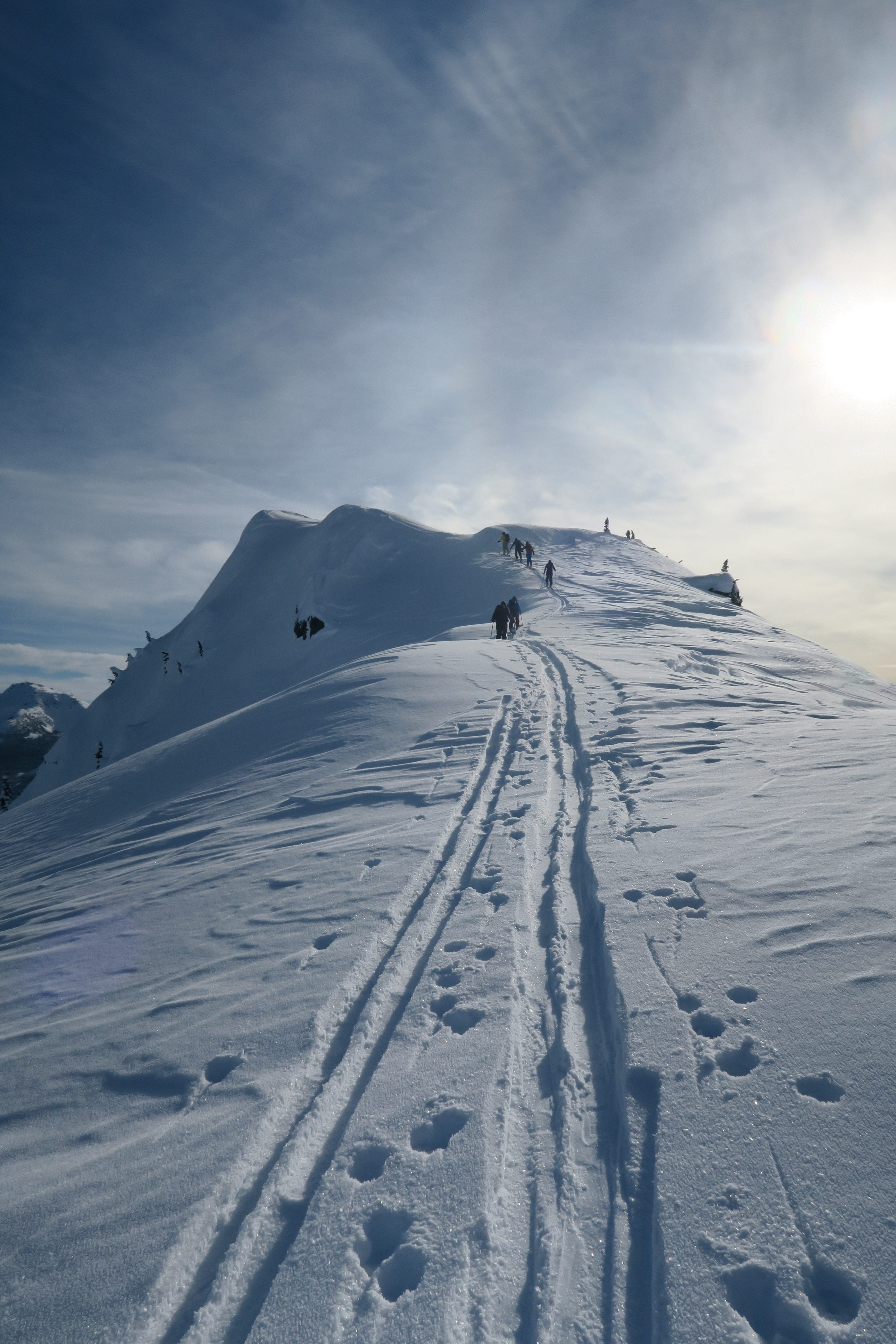
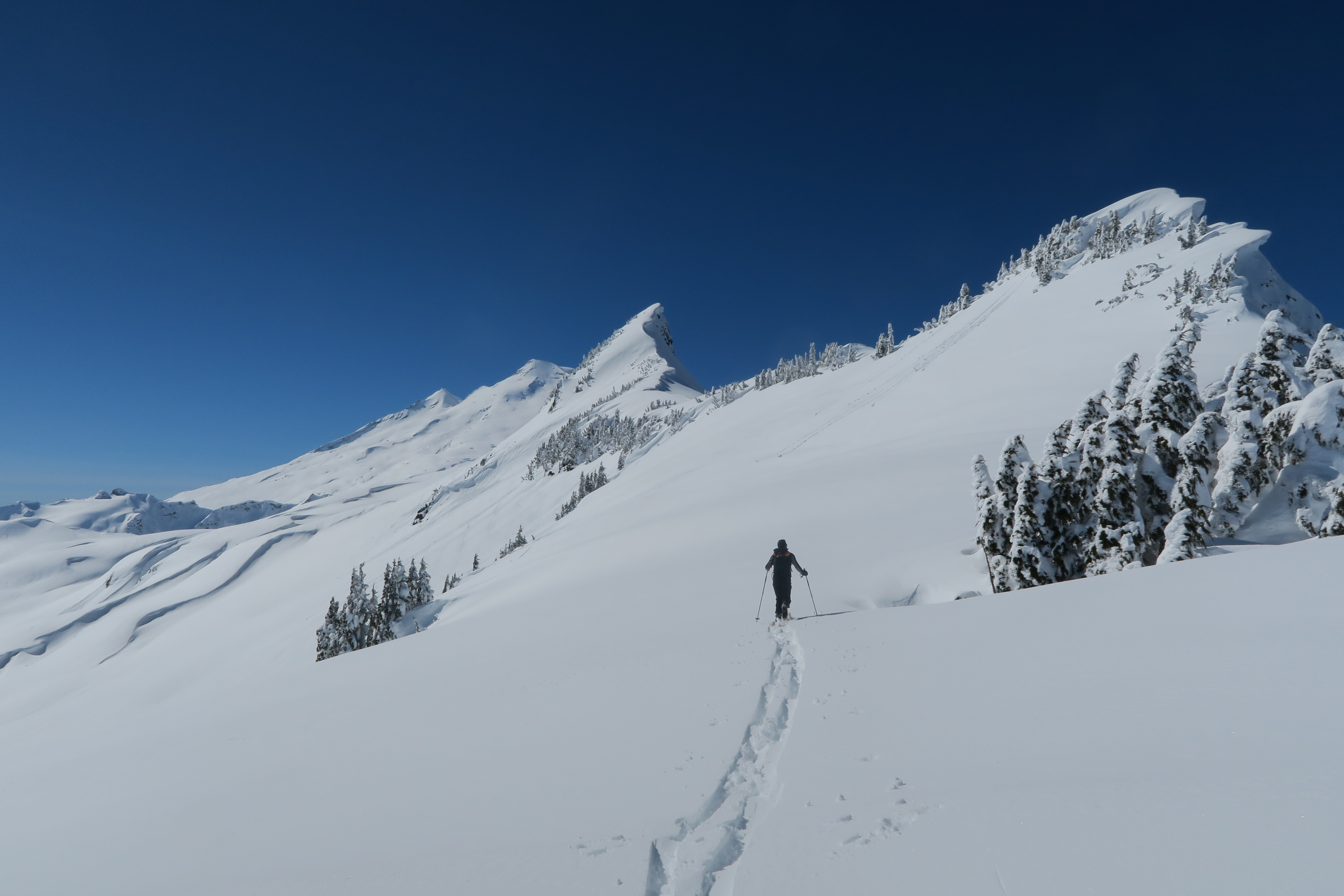
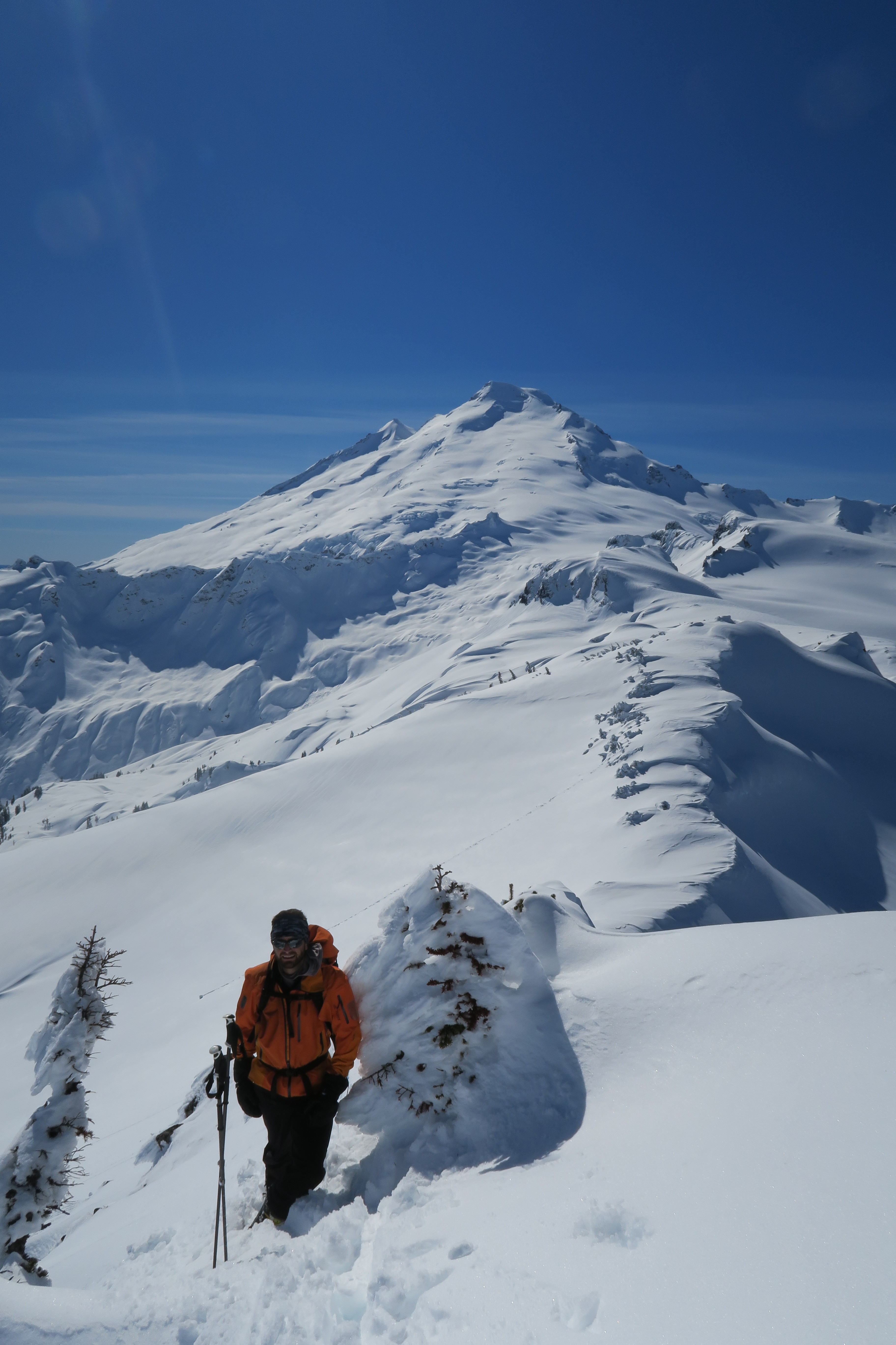
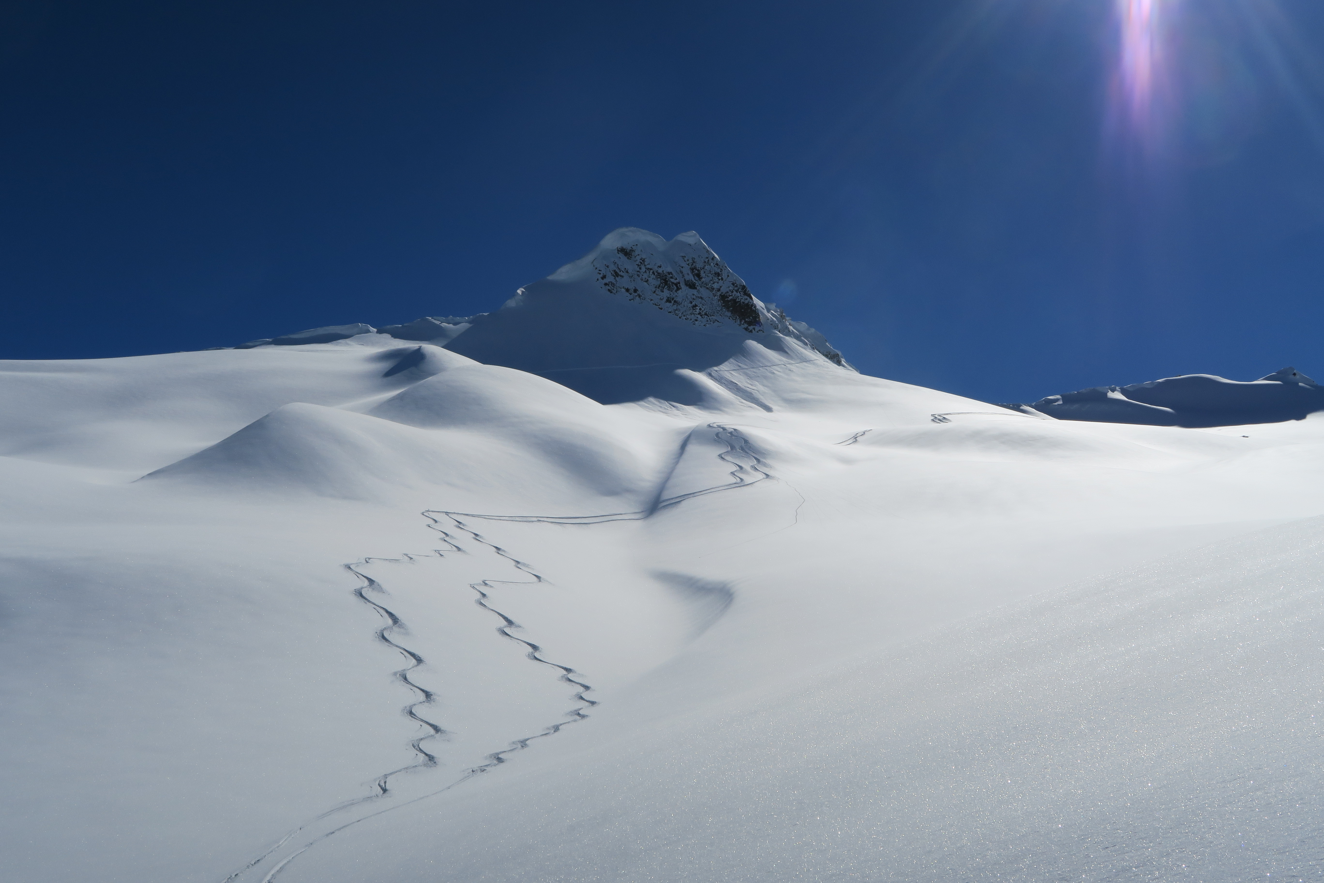
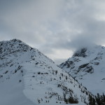
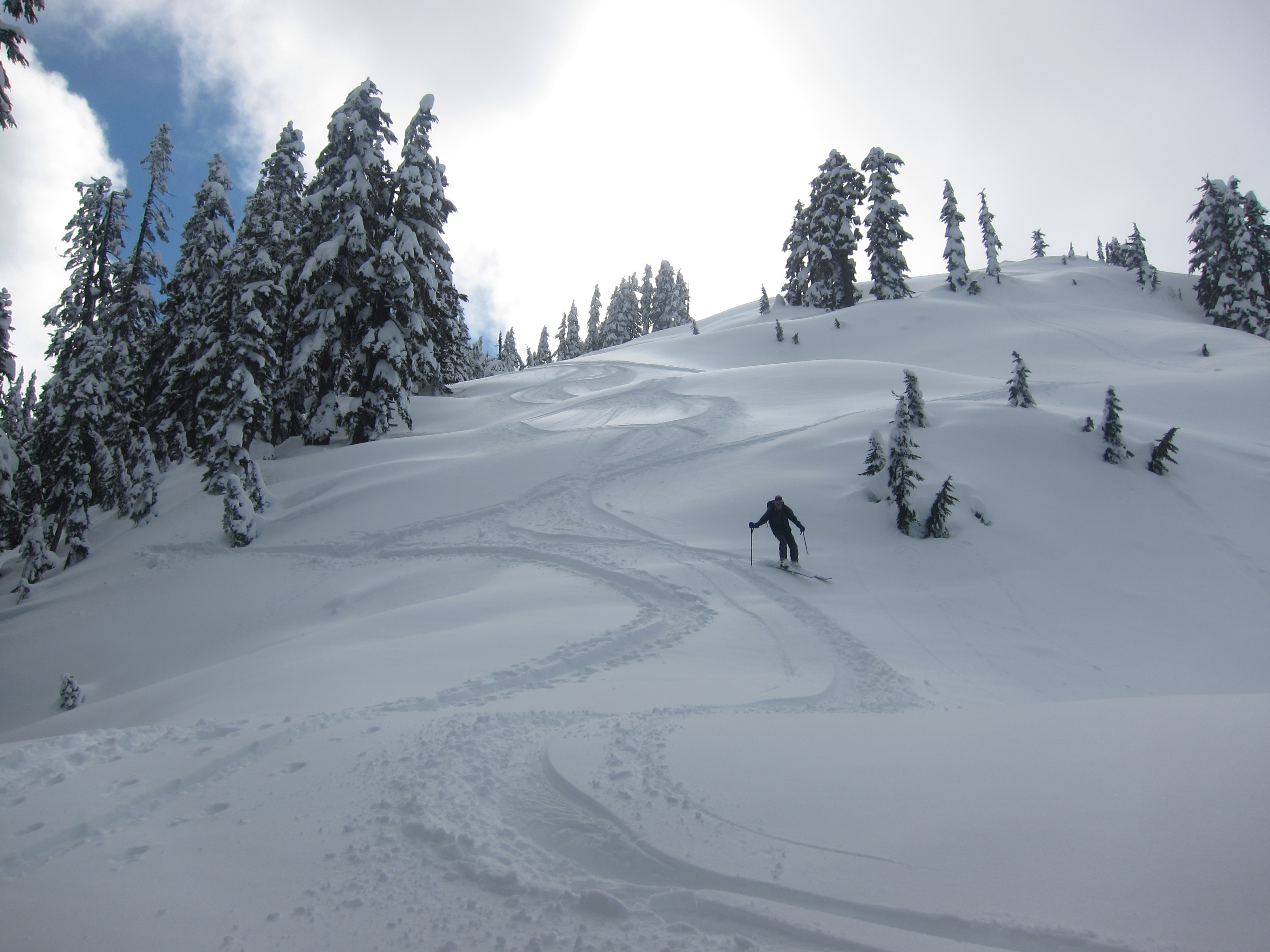
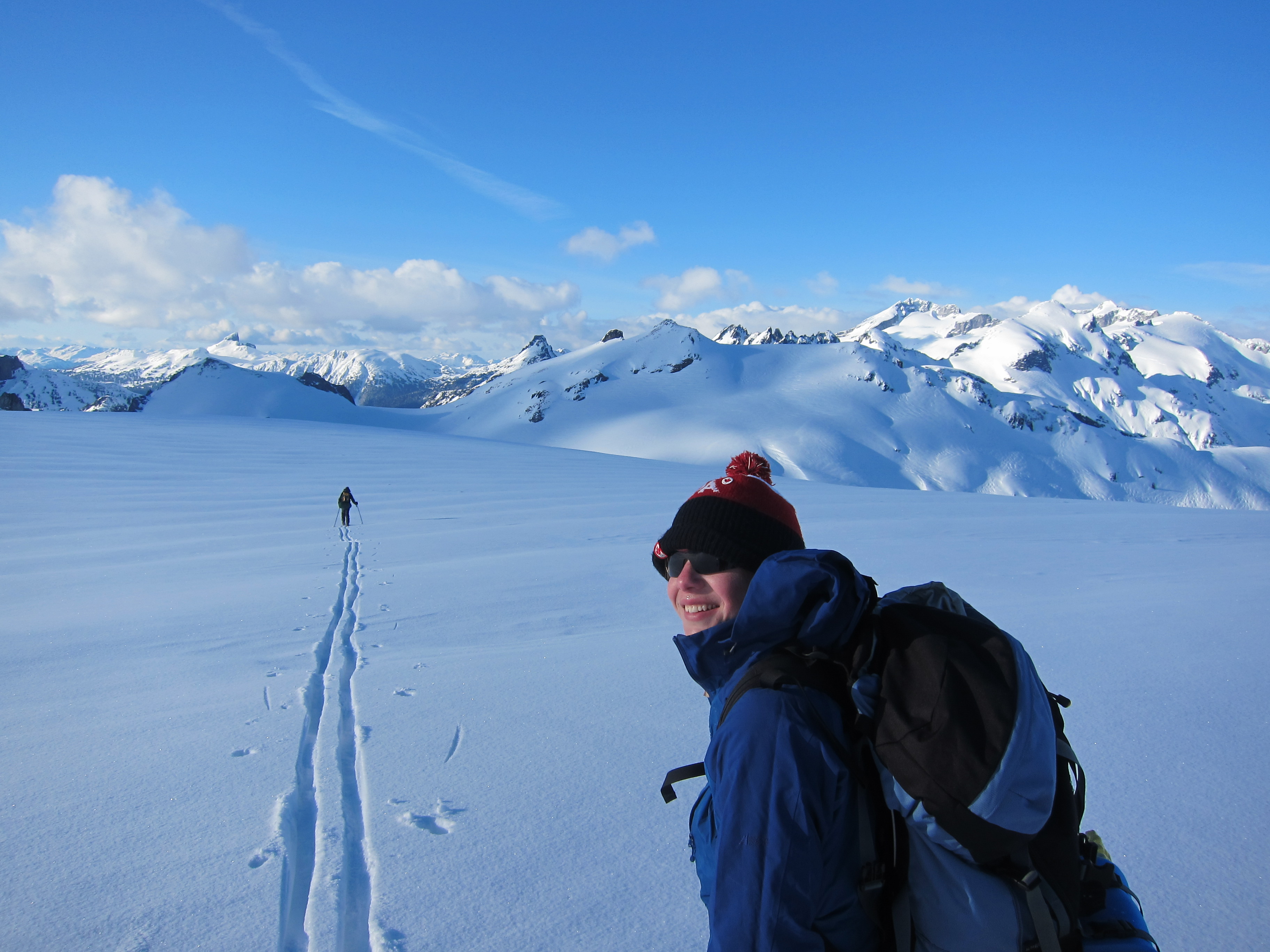
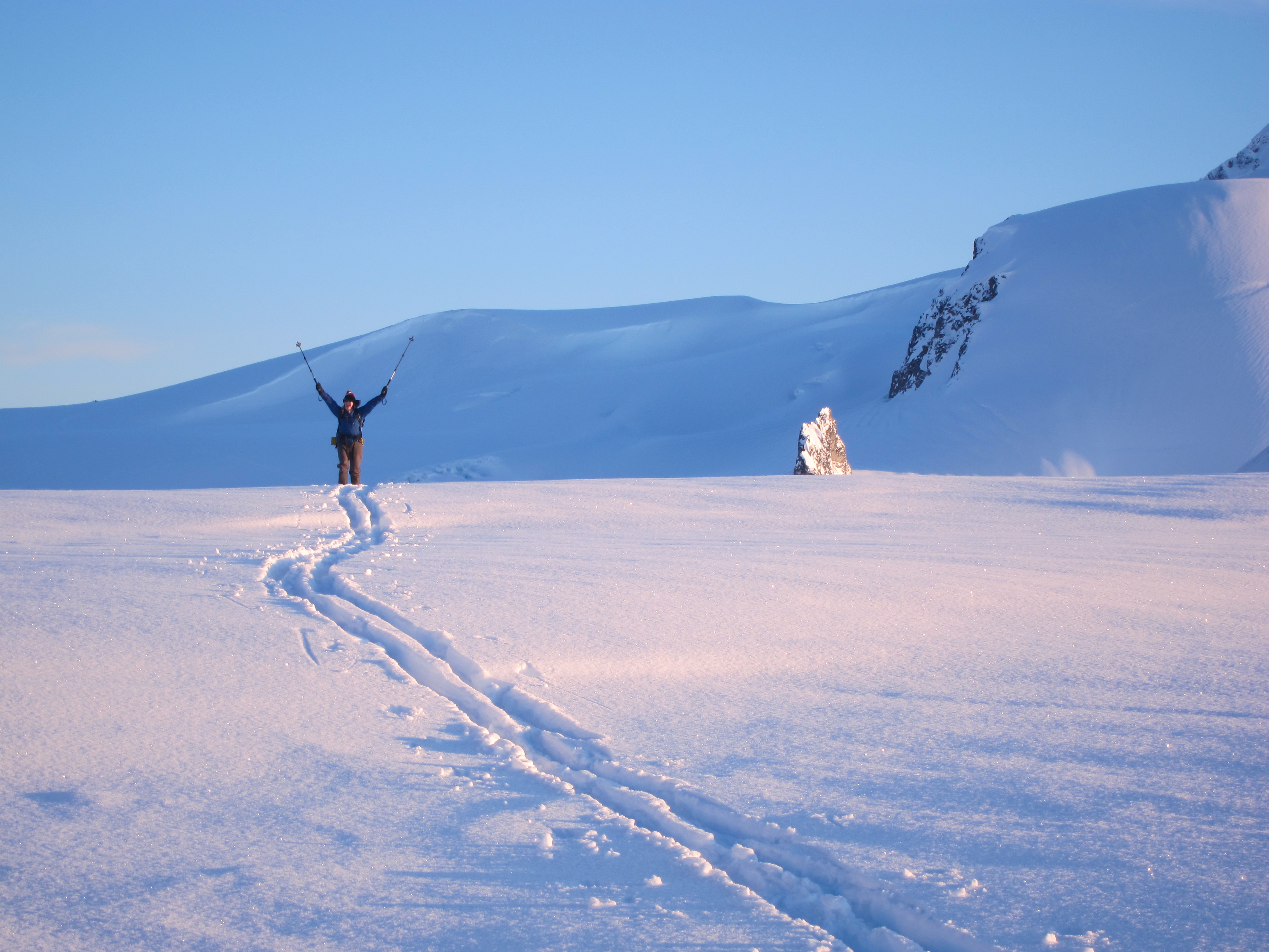
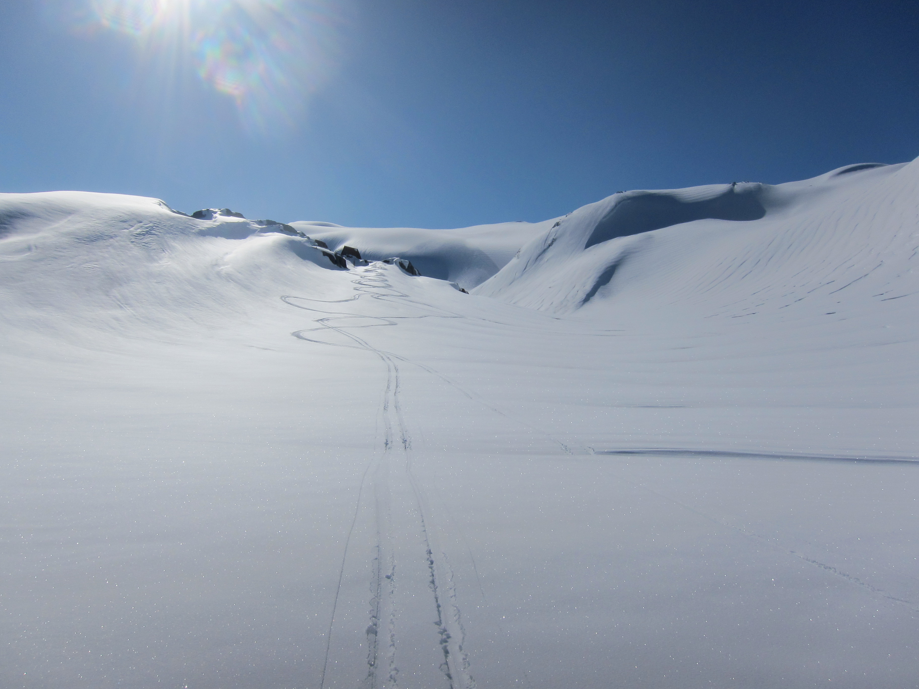
The neve glistened in beautiful light as I set out in the late afternoon to break a trail up to the upper neve, and although from some route descriptions it sounds like you don’t have much further up to go once you reach the neve, the climbing seemed relentless. We finally reached our high point at around 5:30pm, at which point we noticed that we had climbed about 100m higher than necessary and that we could have traversed a relatively flat bench lower down over towards the Sharkfin. On the plus side, we had a short enjoyable run down the glacier that we otherwise wouldn’t have had the opportunity to ski.
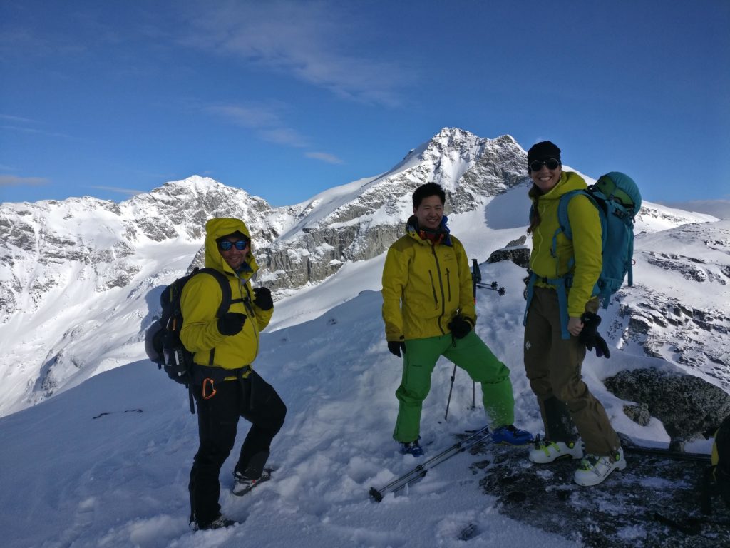
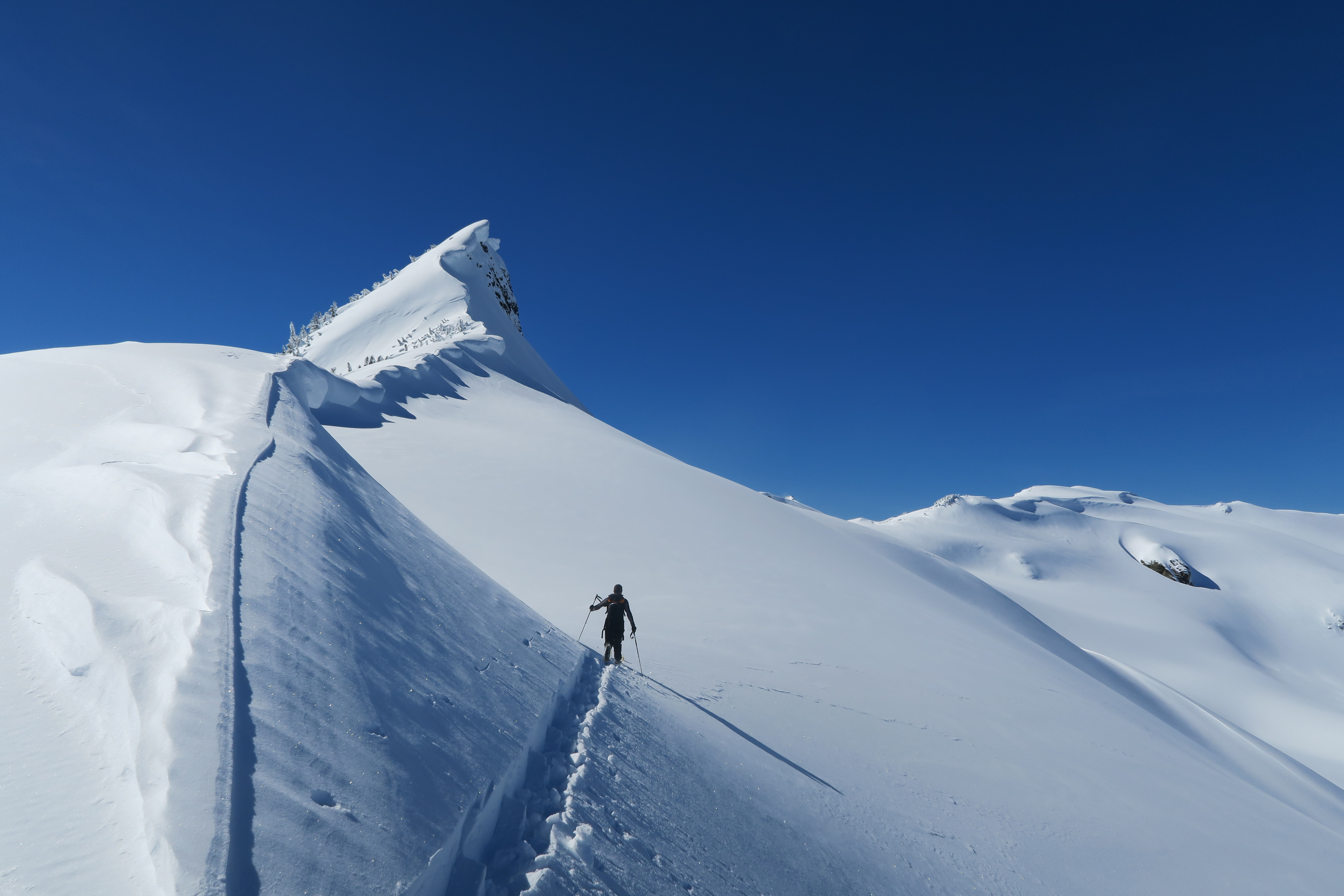
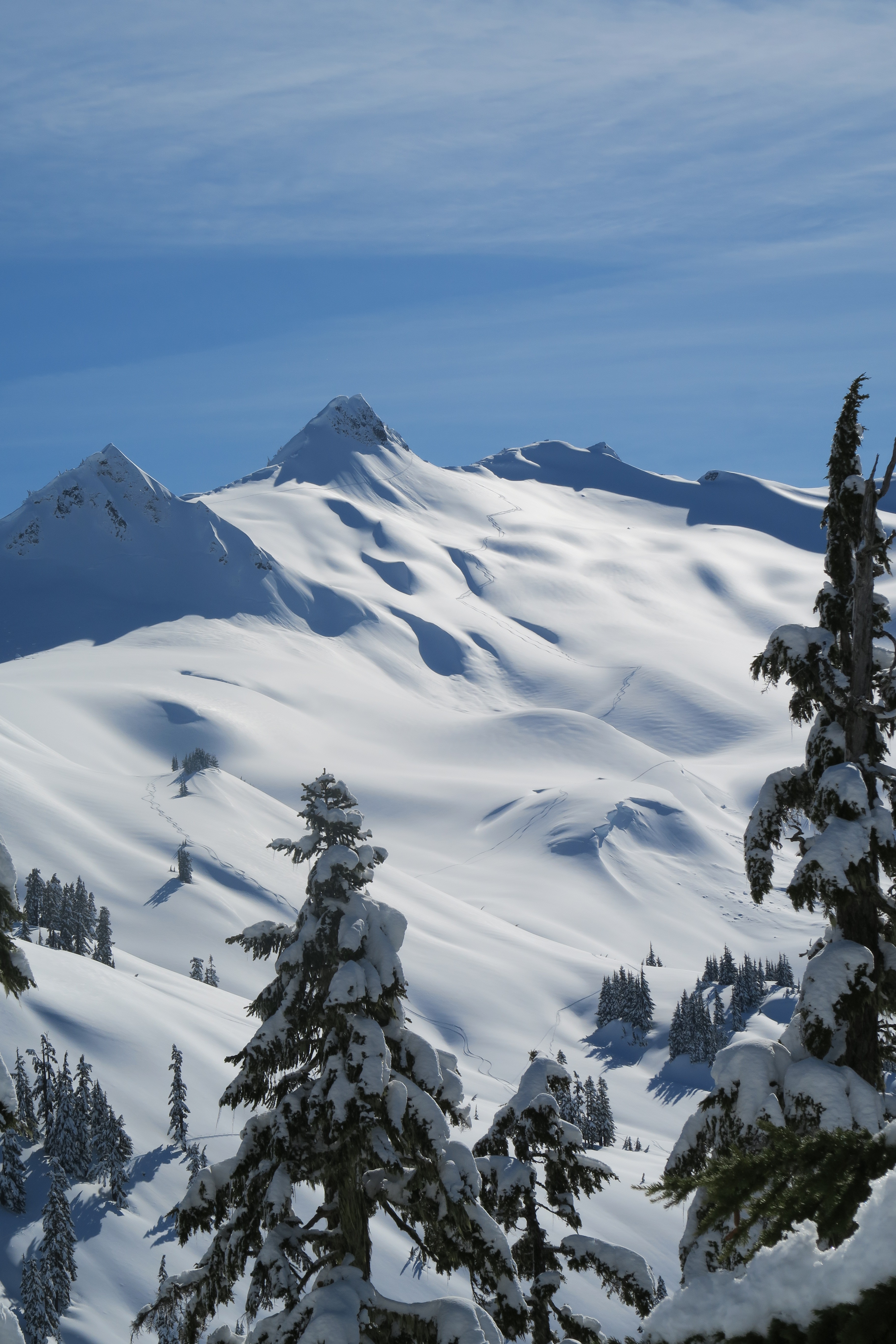
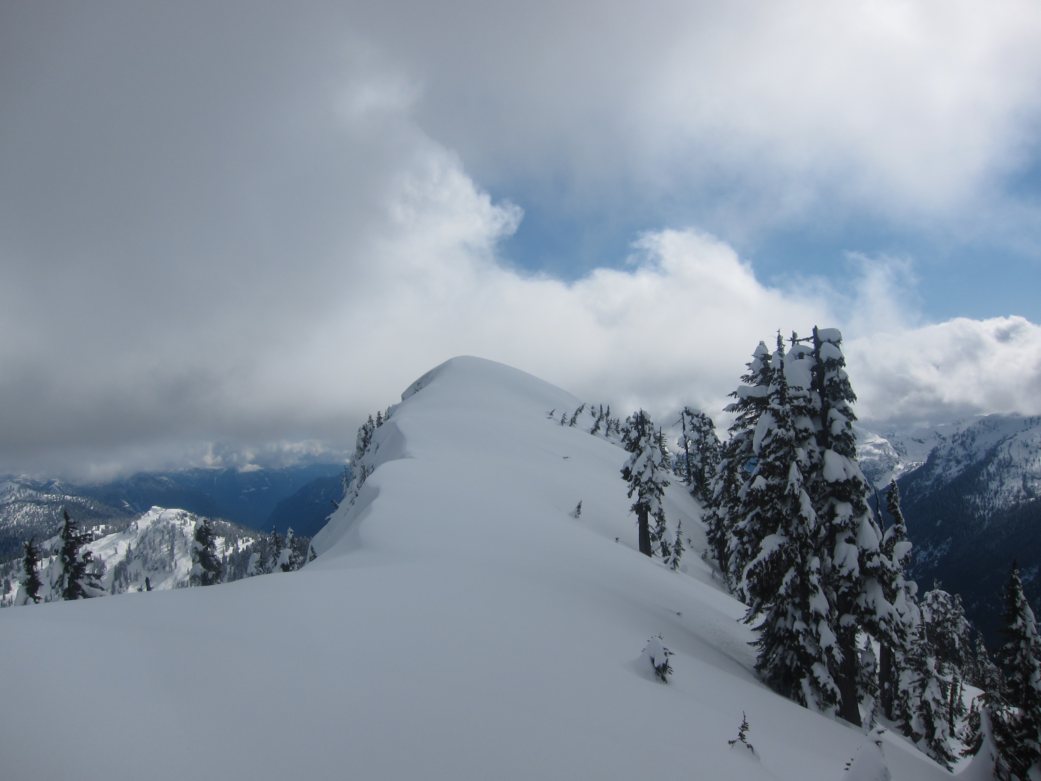
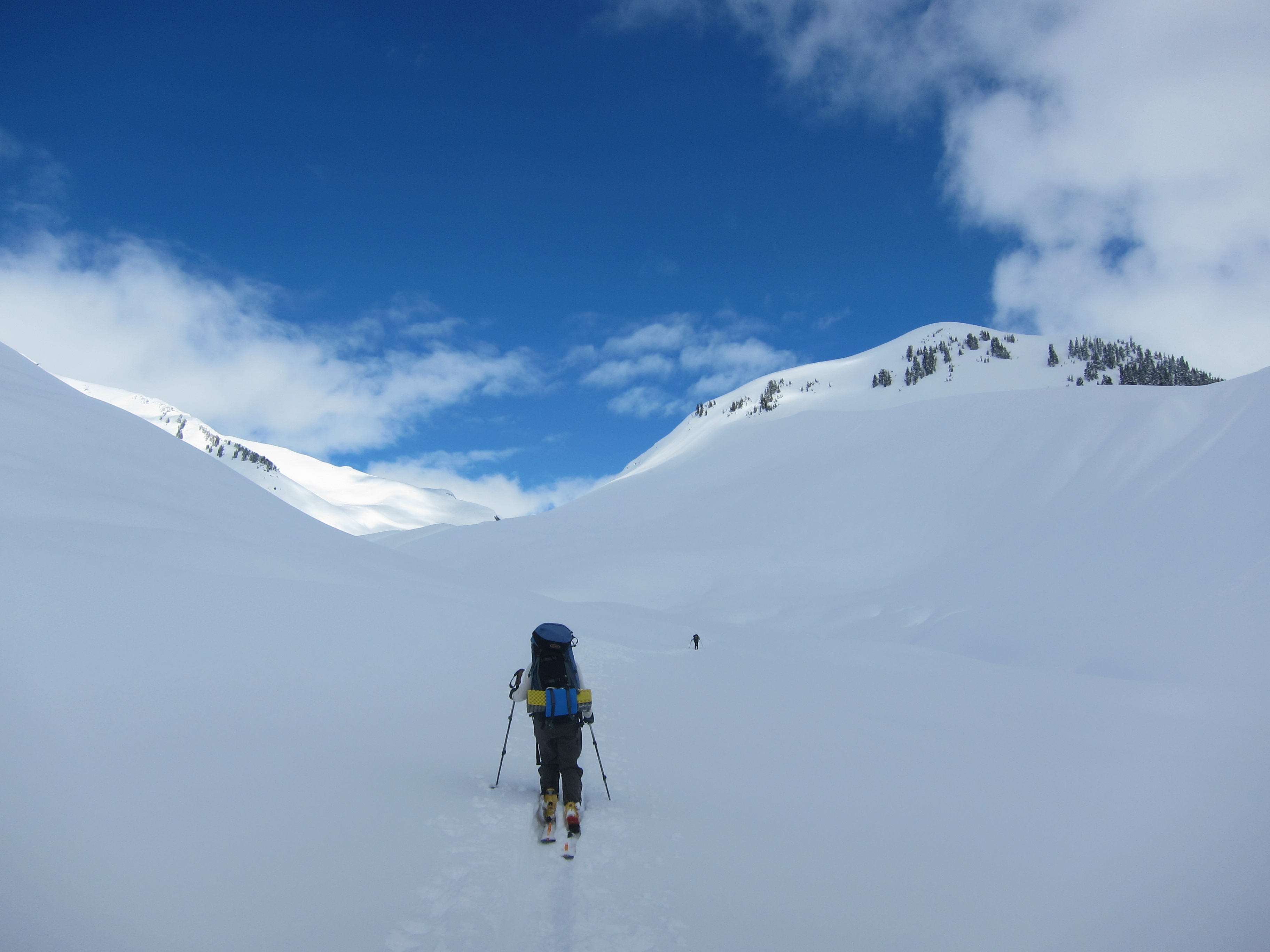
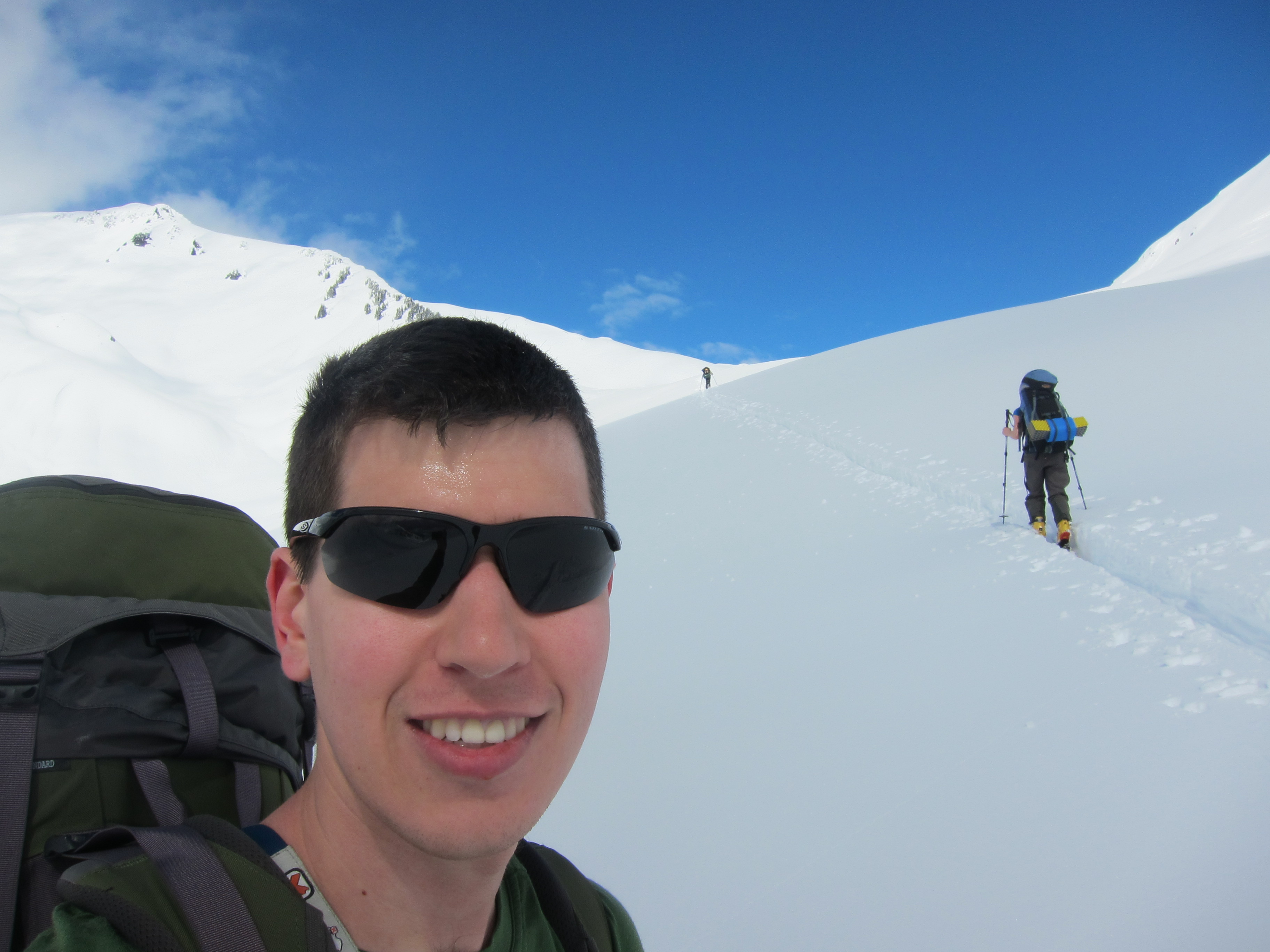
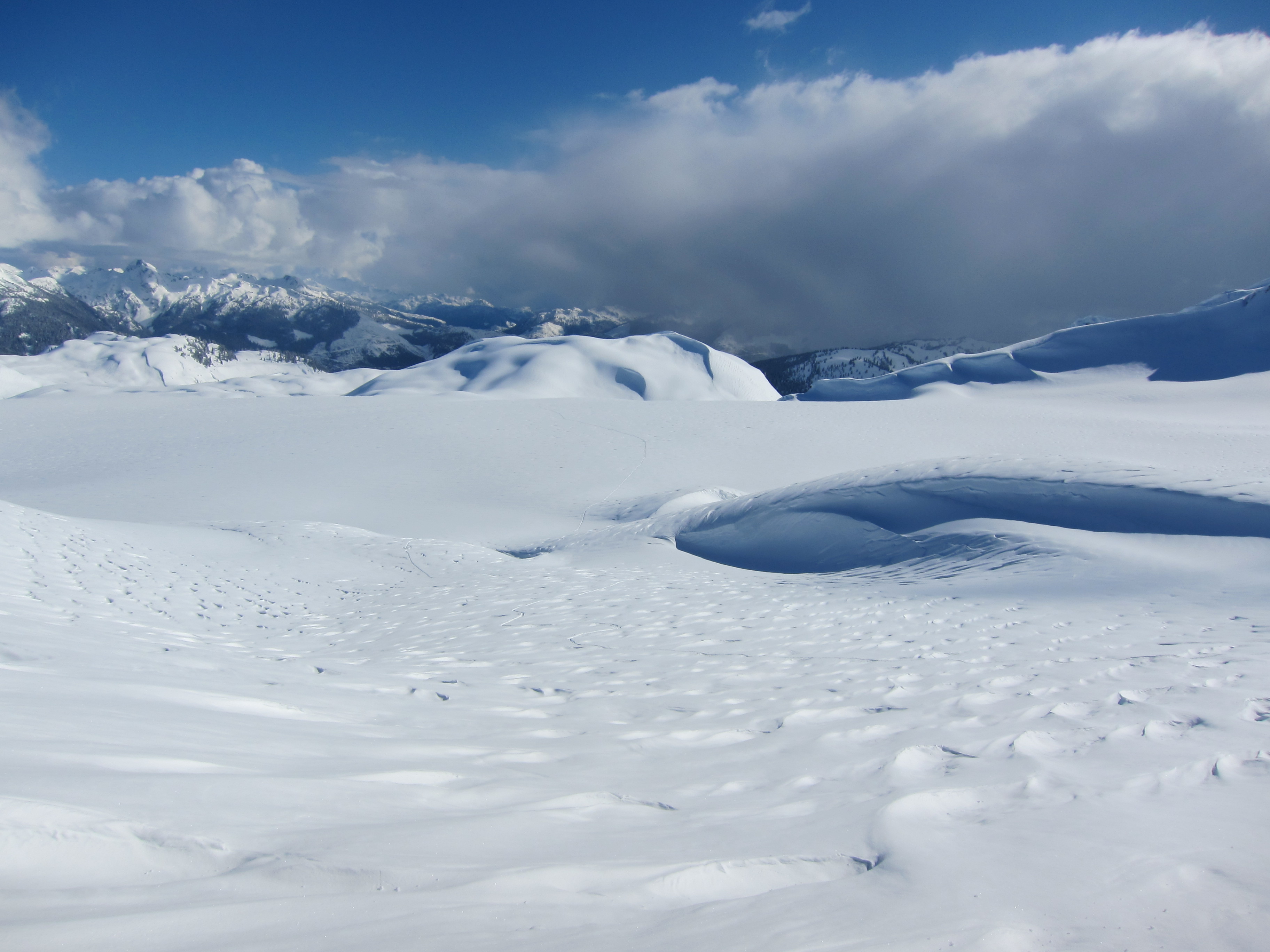
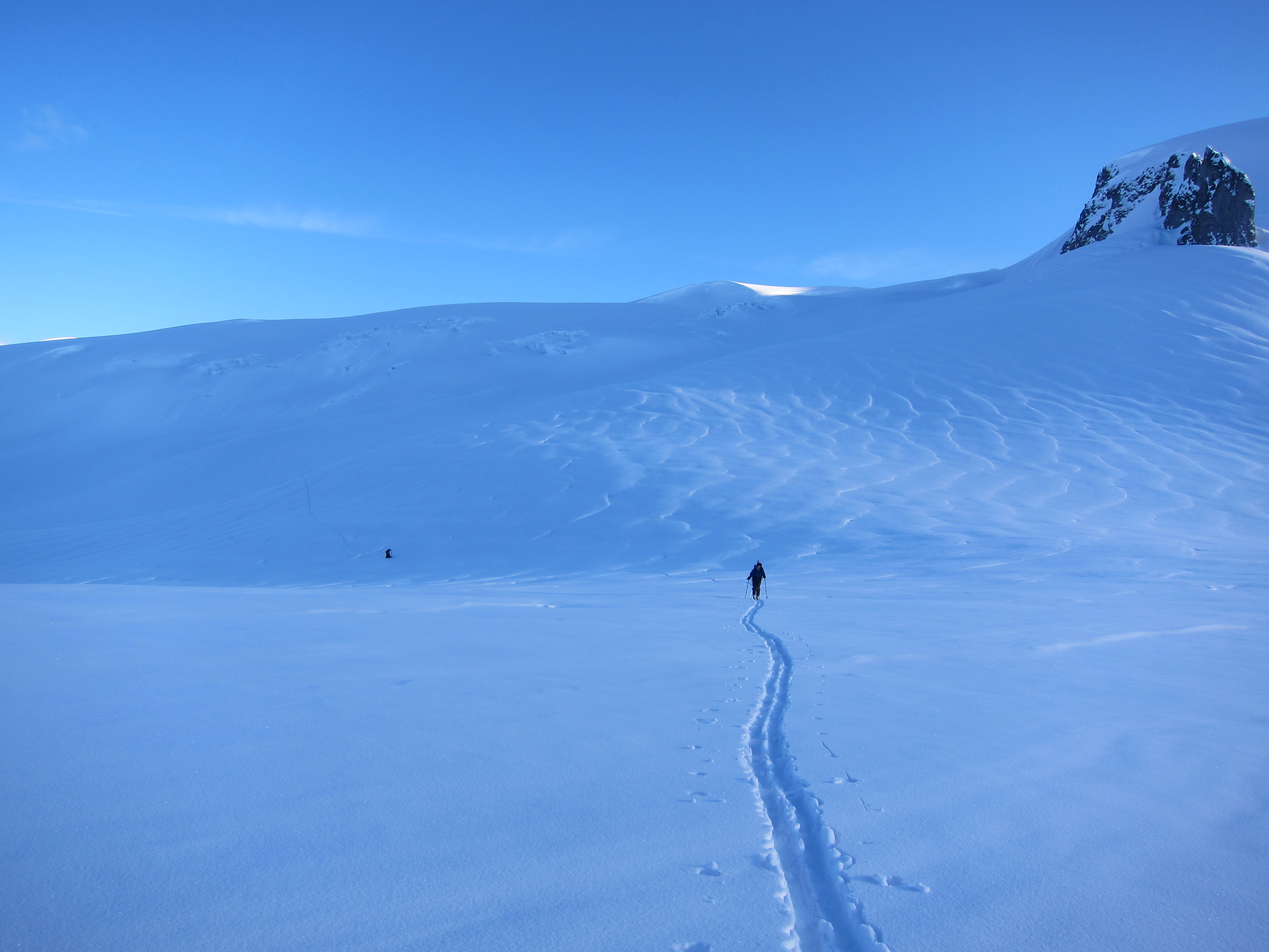
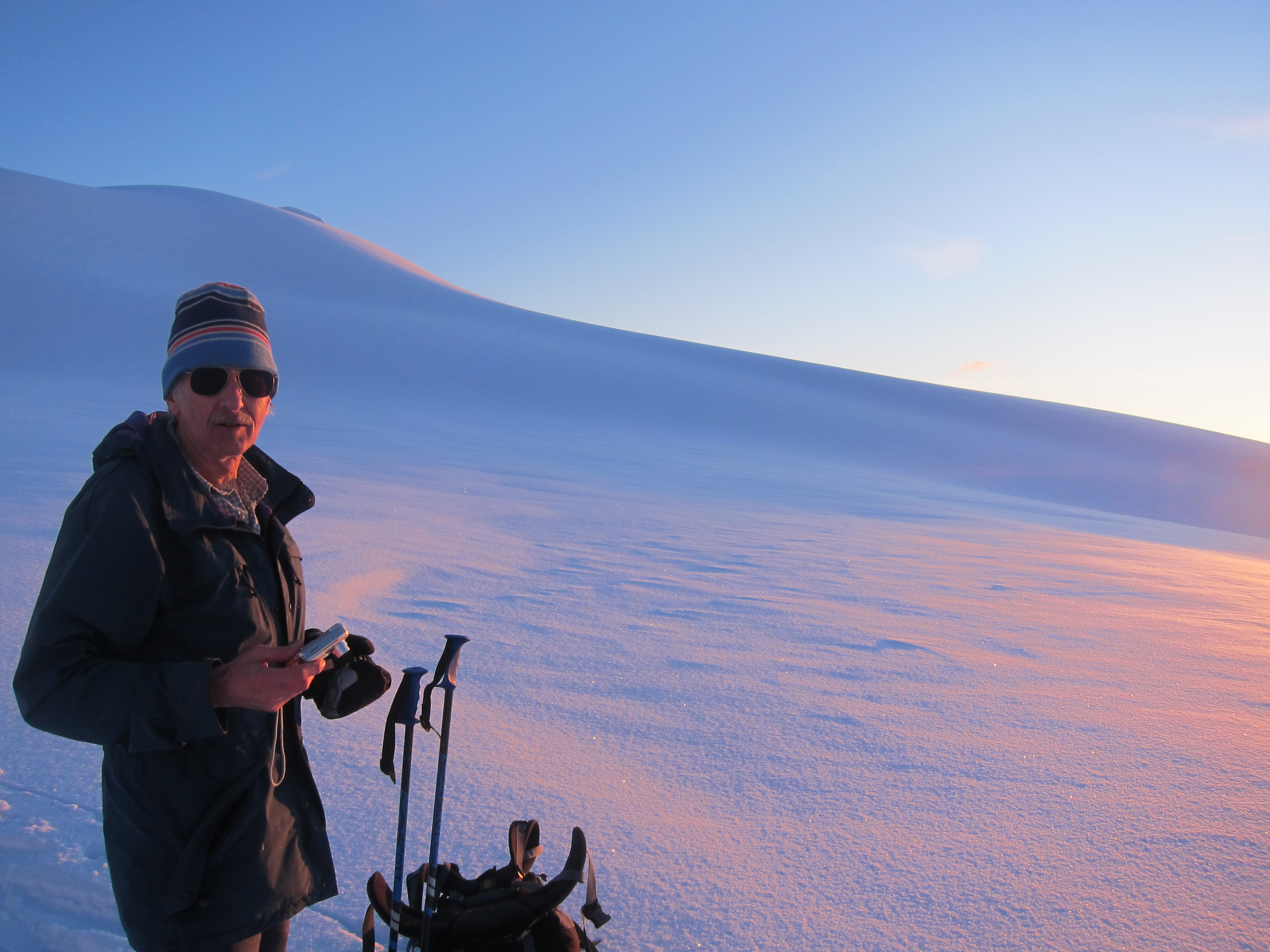
The glacier near the Sharkfin had some large crevasses exposed but we were able to navigate a fairly direct route through them without any major difficulty and were quickly down in the saddle between the Sharkfin and Glacier Pikes. Here we had a quick discussion of whether we should set up camp or continue on to see if we could stay in the Glaciology huts. In the end, we figured we still had well over an hour before sun set, and it didn’t look like it would take long to climb up to the saddle next to Glacier Pikes and ski down to Garibaldi Lake. The skin up to the saddle proved to be both much less steep than it looked and much longer than it looked. Fortunately, as evening fell, the snow had crusted up significantly and I was no longer sinking much as a broke trail. We reached the saddle in low evening light and had a gorgeous view of Guard mountain in front of us, and Garibaldi behind.
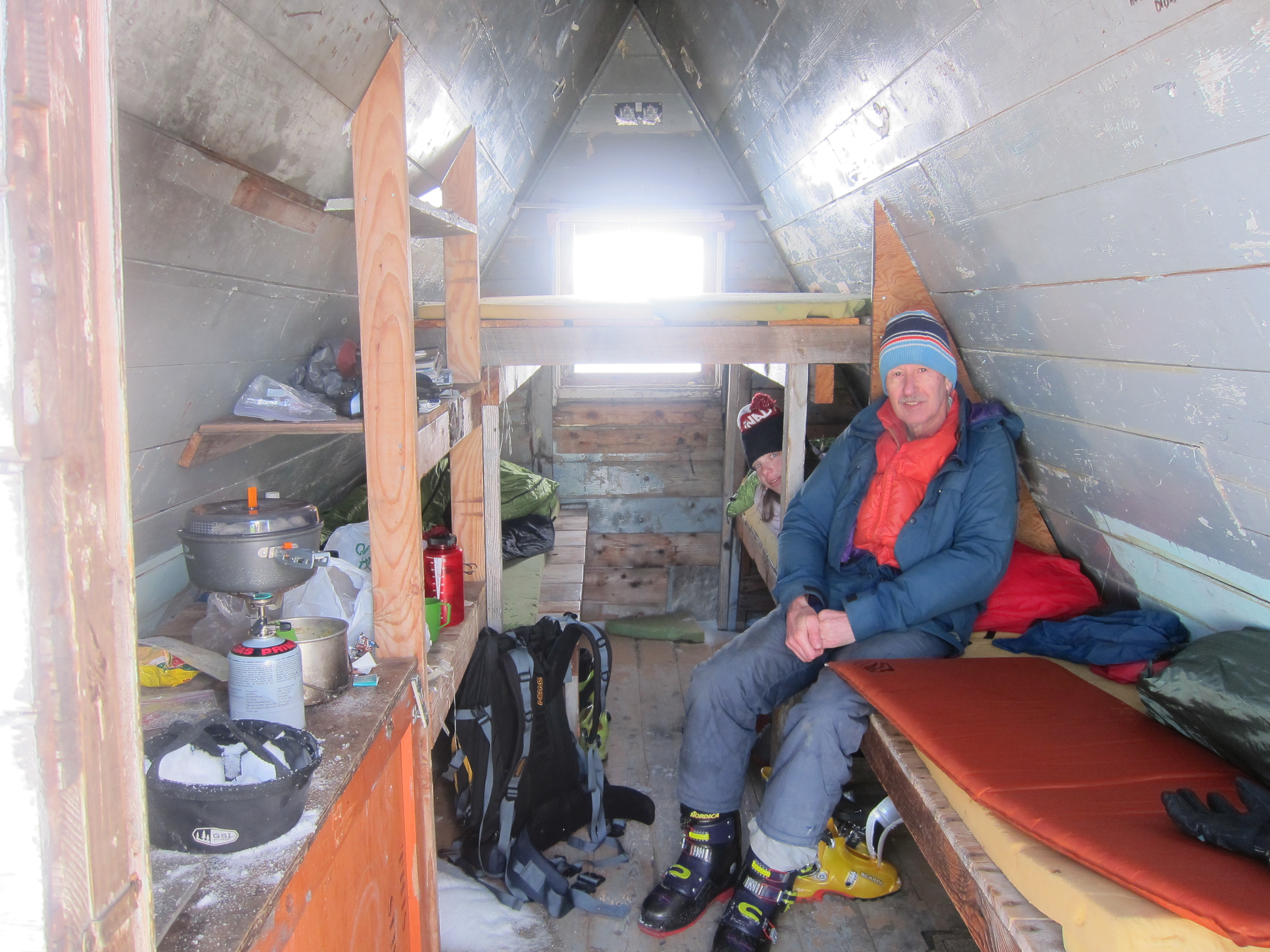
The ski down to the glaciology huts was easy and uneventful, and we were happy to see that although the smaller hut was somewhat buried and in need of being dug out, the larger hut was accessible and unoccupied. We spent the remaining daylight and the early hours of darkness melting snow, rehydrating, and cooking some hot food in the hut. We were all completely spent, but were extremely happy to have made it across the neve that day and with the knowledge that on the Sunday we would only have to ski across the lake and head down to the car.
Saturday
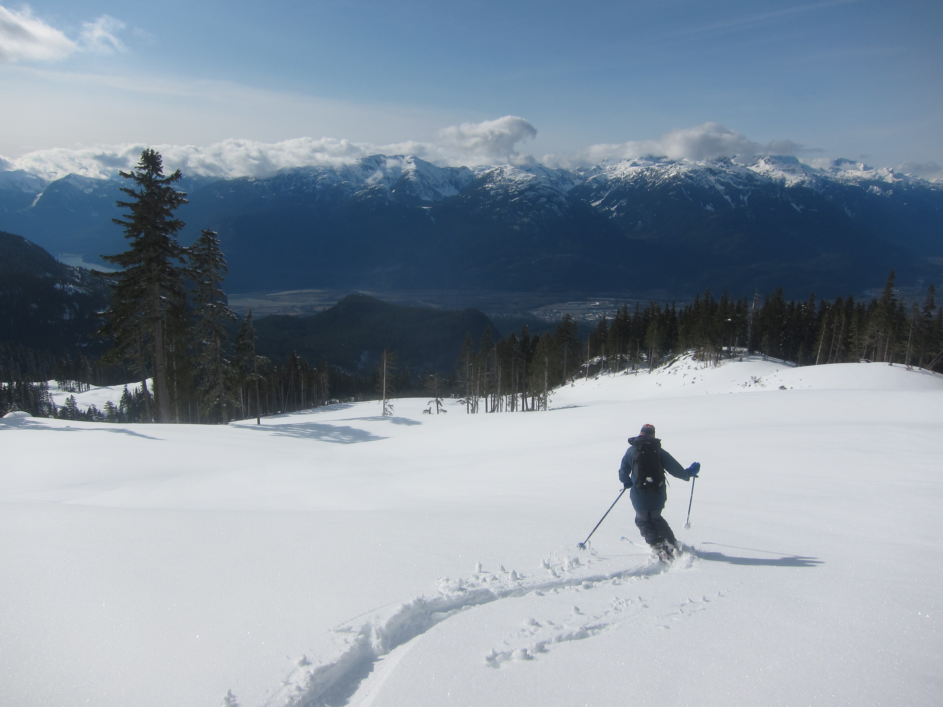
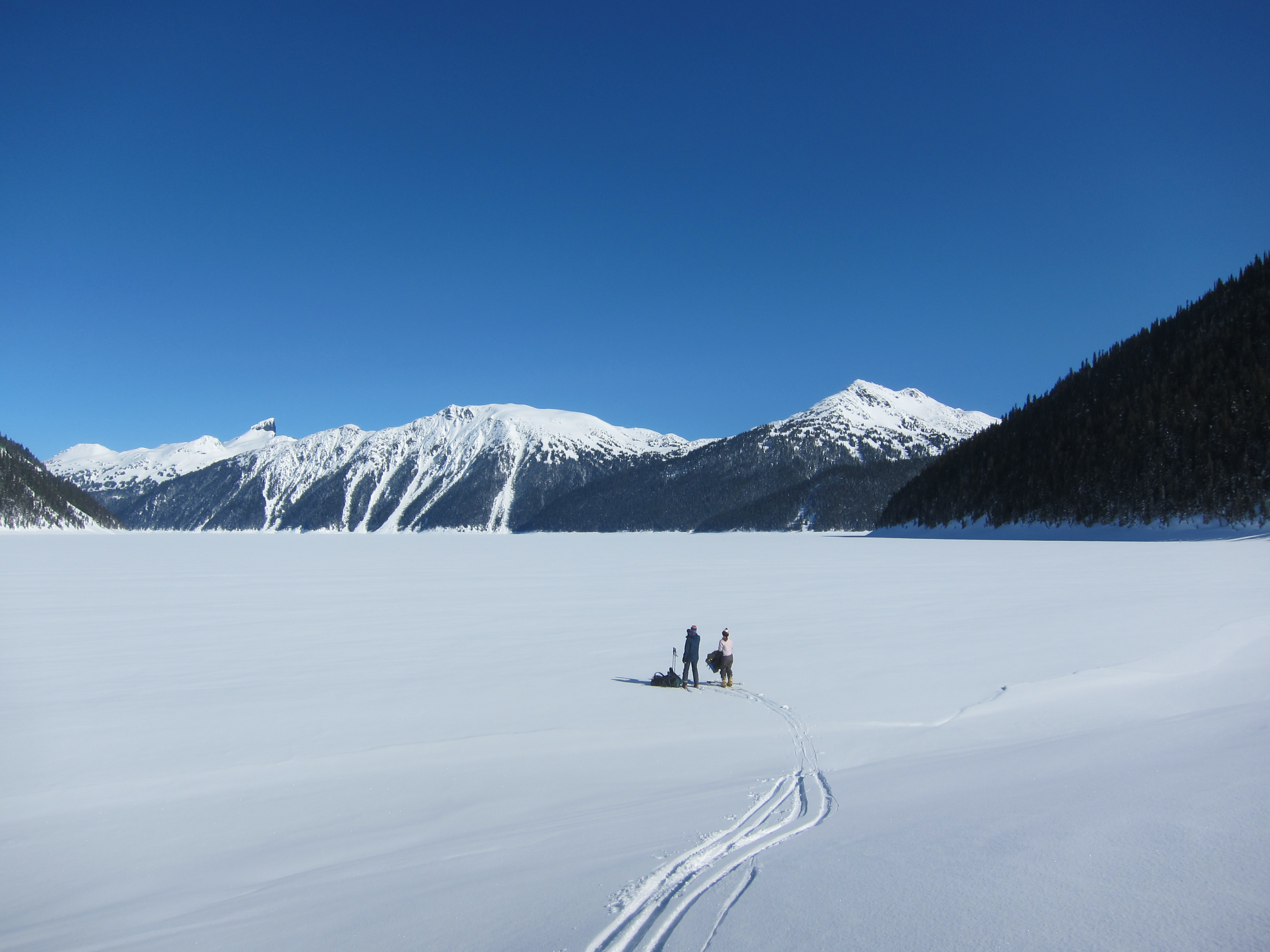
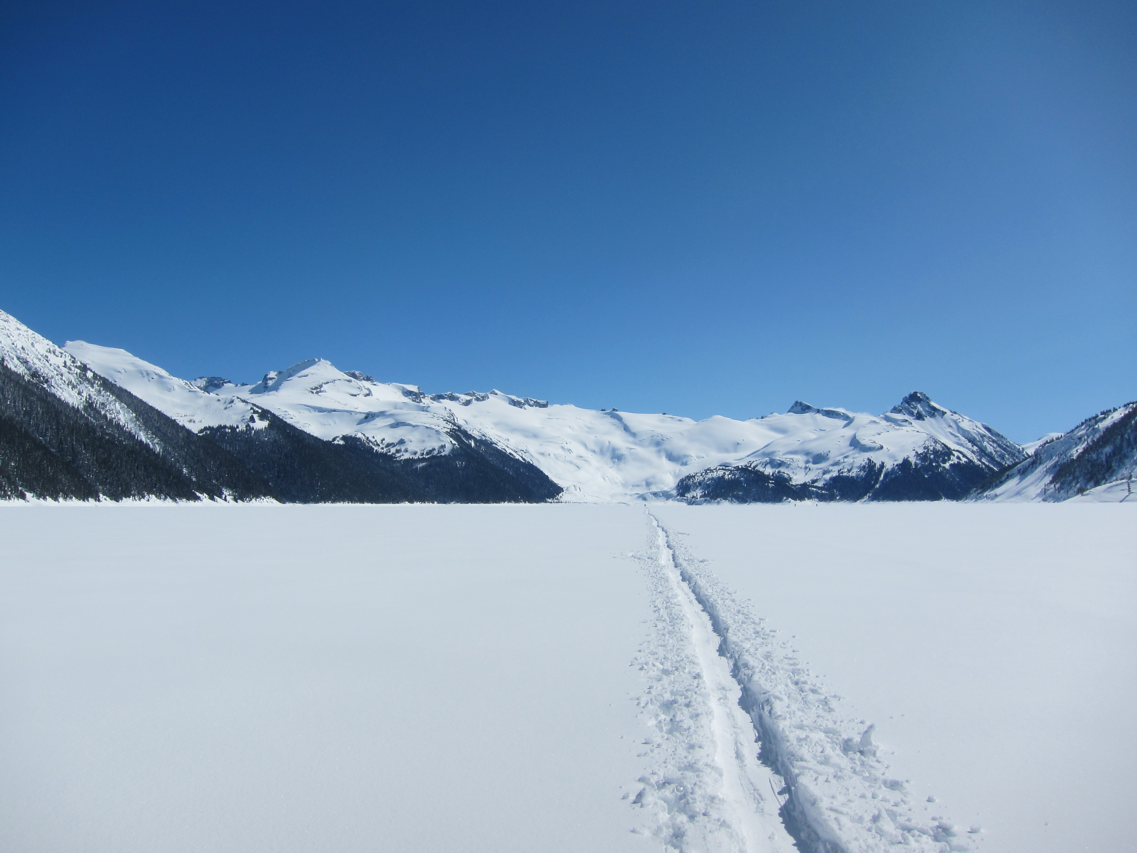
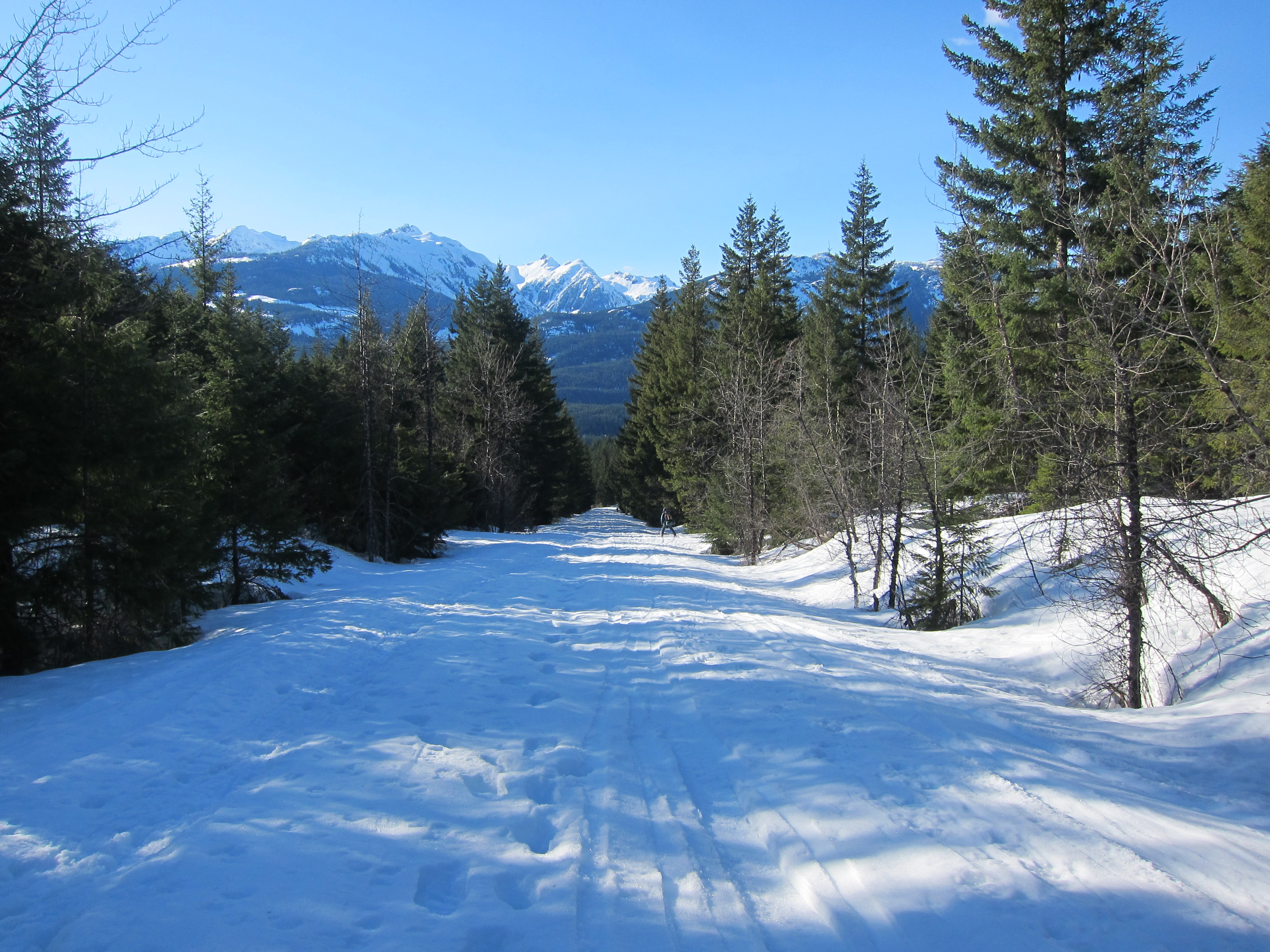
We woke up rested Saturday morning after a comfortable night in the shelter, and set out across the lake in the mid-late morning. Rather than make a track straight towards the Battleship Islands campground, we instead broke a trail across the lake with the intention of hitting the the track leading to the Burton (Sphinx Bay) hut, which we eventually did. From this point we would be on a well trodden trail all the way out to our car.
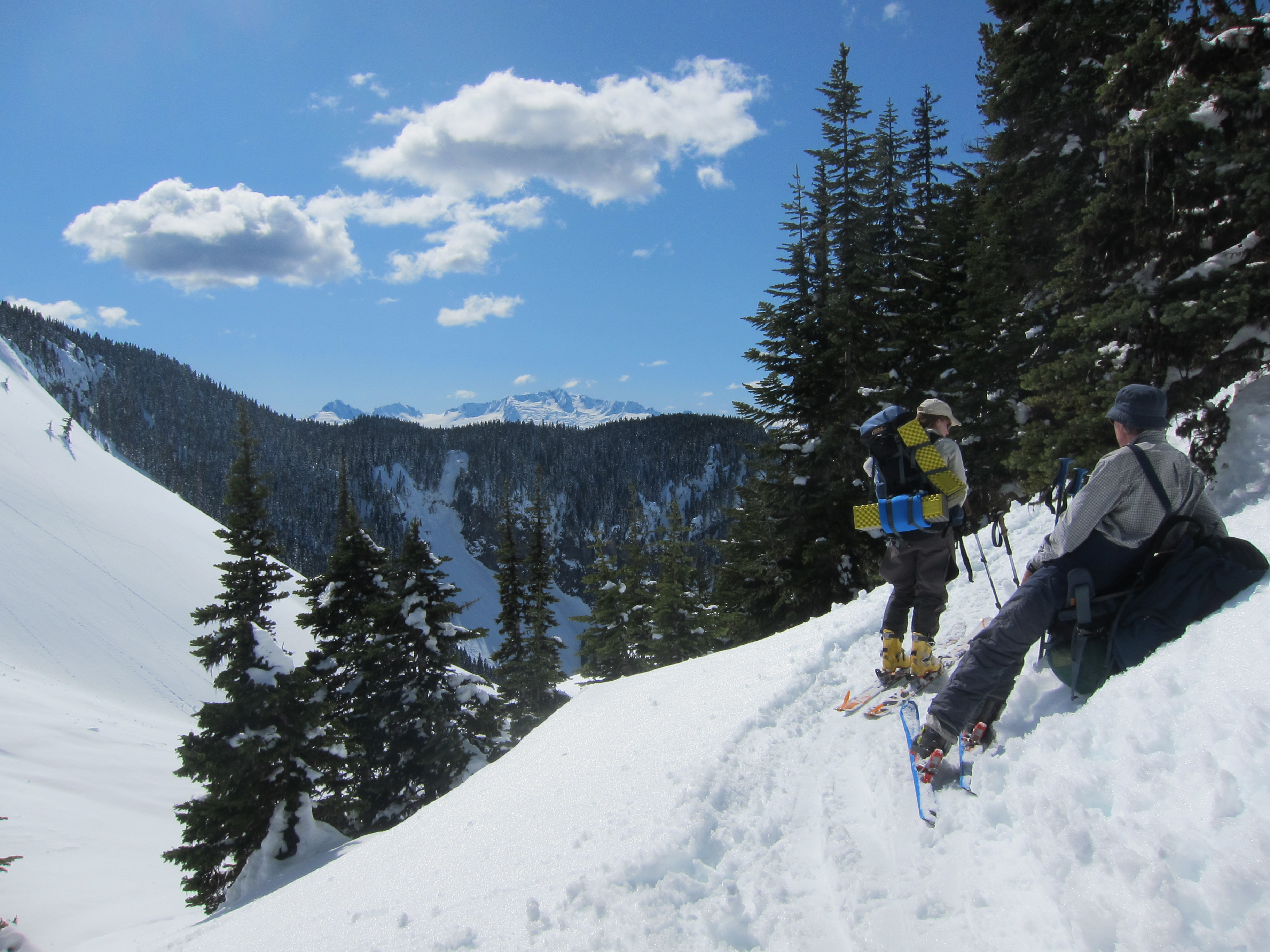
After a break at the end of Garibaldi Lake, we set out for our car in the early afternoon, and although I found the trail to the 6km junction quite annoying with all of the up and down, it didn’t take too long. Due to the intense solar effect and clear evidence of solar induced avalanche activity we elected to ski down the trail rather than the barrier. The air was warm and the first few km of the barrier trail were slushy and easy to ski. It was only from the 3km marker onwards that the skiing became a bit sketchy, but we were able to ski right to the 1km marker, at which point we had to take our skis off and carry them down to the trailhead as the snow was extremely patchy.
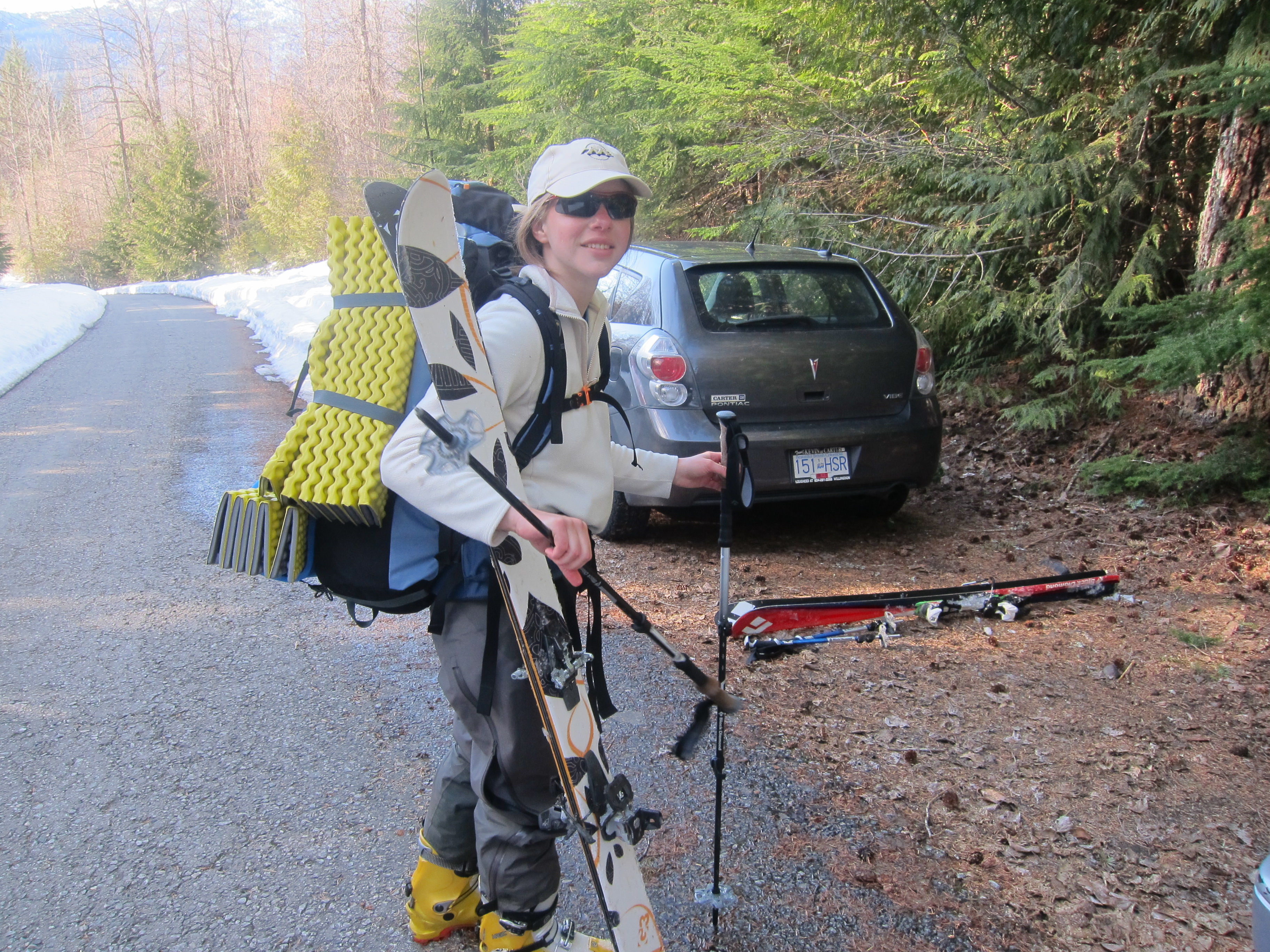
At the Rubble Creek trailhead, the air was warm, the skies sunny, and the road completely covered in snow, and we were once again able to put our skis back on. I felt sorry for the snowshoers who had to trudge another few km out to their cars, but on skis it took only a few minutes of standing (essentially no turning required) in a track to make it down to the end of the plowed road. We had all made it down in good spirits and without any injuries, and after changing out of our ski equipment, began our journey back to the Diamond Head parking lot to pick up my dad’s car, and then to make our way back to Vancouver.
Conclusion
It is easy to see why the Garibaldi Neve is considered a classic ski traverse. The terrain is for the most part quite easy to navigate, it is easily accessible, and the views are simply phenomenal. By doing the neve a day before everyone else, the going was much harder than it would have been had we travelled with the hordes on the following day, but the extra effort was worth it to find ourselves in such extraordinary places without others around. You probably already know this, but every ski mountaineer in south western BC should do this trip at least once.